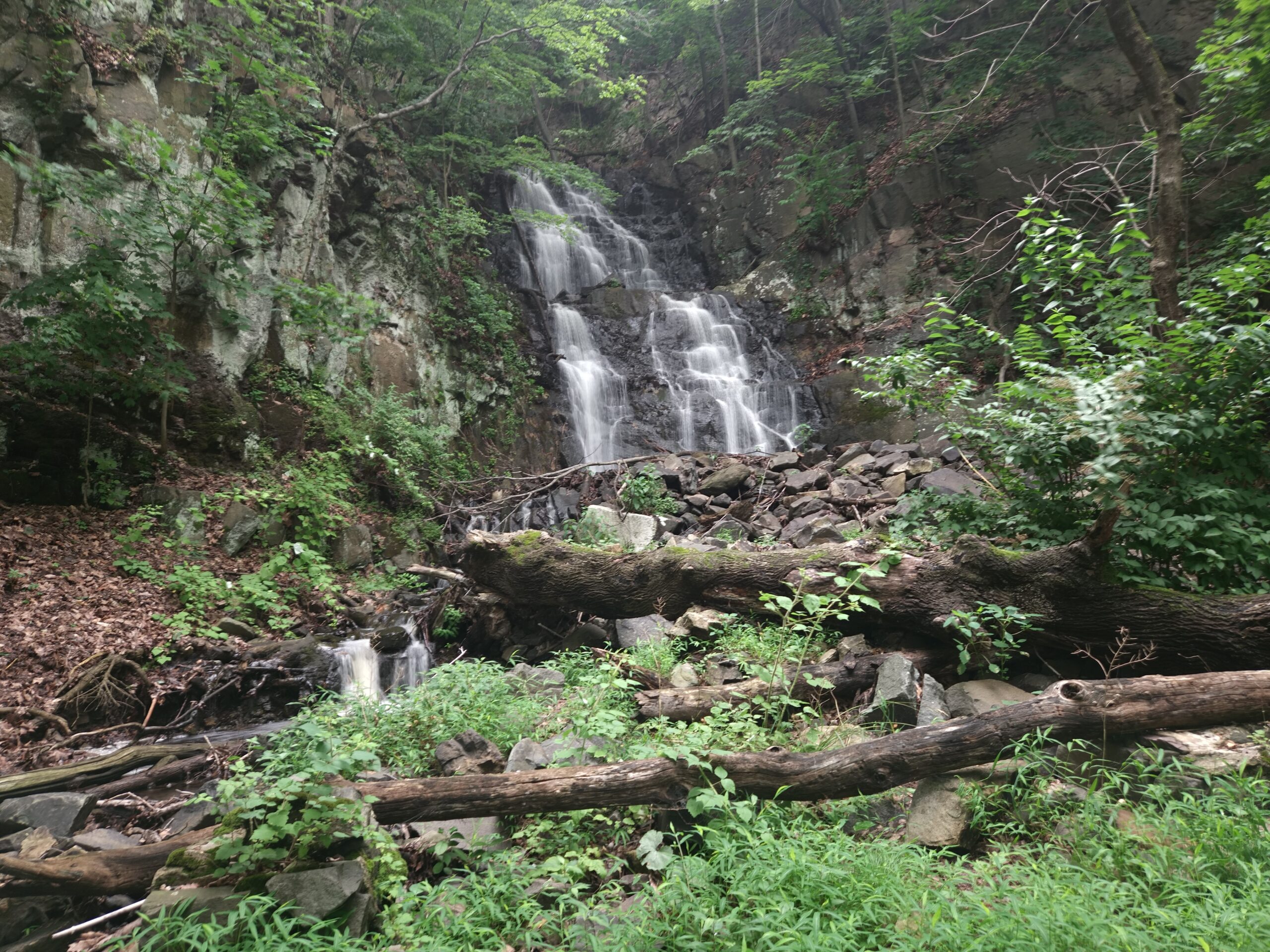
Tucked along the iconic Palisades Cliffs on the Hudson River sits Greenbrook Falls, the tallest waterfall in New Jersey at an impressive 250 feet. Reaching Greenbrook Falls requires a 4.5-mile round-trip hike along the river’s edge, past the smaller Lost Brook Falls and the large remains of the historic Undercliff Bathhouse Ruins. Despite being the tallest waterfall in the state (a title often incorrectly given to Buttermilk Falls in Walpack), Greenbrook Falls is often overlooked despite its relative ease of access and impressive final drop. It is important to note that while the final section of Greenbrook Falls is visible, the sheer height and dangerous cliffs limit the view of upper portions. Even with this limitation, Greenbrook Falls is worth visiting.
Palisades Interstate Park
Parking: 40.887361, -73.942444, Henry Hudson Dr, Englewood Cliffs, NJ 07632
Price: Free (above parking area only)
Hike Information
Distance: 4.5 miles
Ascent: Neglectable
Difficulty: Easy-Moderate
Attached is the route as described below for reference. The elevation profile and route were created on AllTrails. Users can download the route to use on their preferred GPS. Click here for information on how to use the GPS routes on your phone.
Background
Greenbrook Falls is located in the New Jersey Palisades, a line of cliffs stretching from Hudson County into New York State. The Palisades formed about 200 million years ago during the early Jurassic period, when Pangaea began breaking apart. As Earth’s crust cracked due to the rifting, magma rose and was injected below the surface into the softer sandstone and shale. Trapped underground, the magma cooled slowly into hard diabase. Over time, the western side of the Newark Basin began to dip, causing the eastern edge with the diabase to rise. Over millions of years, glaciers, rivers, and weathering wore away the softer surrounding rock layers. Because diabase is far more resistant to erosion, it remained standing while glaciers and the Hudson River carved out the deep river valley, leaving behind the vertical cliffs visible today along the lower Hudson River.
The Hike
There are two main ways to reach Greenbrook Falls: from the Undercliff Picnic Area or from the Alpine Picnic Area. The guide below follows the trail from the Undercliff Picnic Area for two main reasons:
- The hike begins and ends at the Undercliff Boathouse Ruins, which is a great set of ruins offering views of New York City and the George Washington Bridge. More information on the ruins can be found below.
- Parking is free.
The hike is easy to moderate, with minimal hills and generally follows the bank of the Hudson River. However, because the trail sits at the base of the Palisades Cliff, which has a history of rockfalls, it is very rocky. The diabase rock of the Palisades breaks into sharp, blocky chunks, so you will definitely want to wear shoes with thick soles.
The hike to the waterfall is about 2.2 miles. This is an out-and-back trail unless you want to continue an extra 0.8 miles past the falls to a trail that climbs up to Henry Hudson Drive. From there, you can hike back along the road. However, Henry Hudson Drive is the only road to all lower park areas and experiences heavy traffic from both vehicles and cyclists. For this reason, we recommend sticking with the out-and-back route.
Parking
Parking is available at the free Undercliff Picnic Area, which is located north of the Englewood Cliffs and Edgewater Entrances and south of the Alpine Entrance. Because of a road washout, the Englewood Cliffs Entrance is closed as of August 2026, so most visitors will arrive via the Alpine Entrance. This parking area is unsigned, so keep your eyes peeled for a large, wooded picnic area with tiered parking. If arriving from Alpine, this will be on the right; if arriving from Edgewater, it will be on the left.
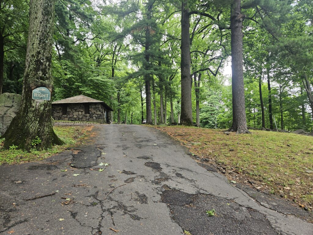
Once in, park near the back of the parking area. In the back, there is a large grass lot. Before that, you can use multiple parallel and diagonal parking spots. If possible, try to park just before the grass lot for the closest parking to the trail.
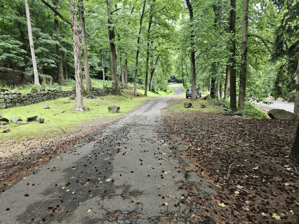
Beginning the Hike
From the Undercliff Parking area, locate a small set of stone steps. You’ll find them near the back of the lot, just before the one-way parking area loops back toward the entrance.
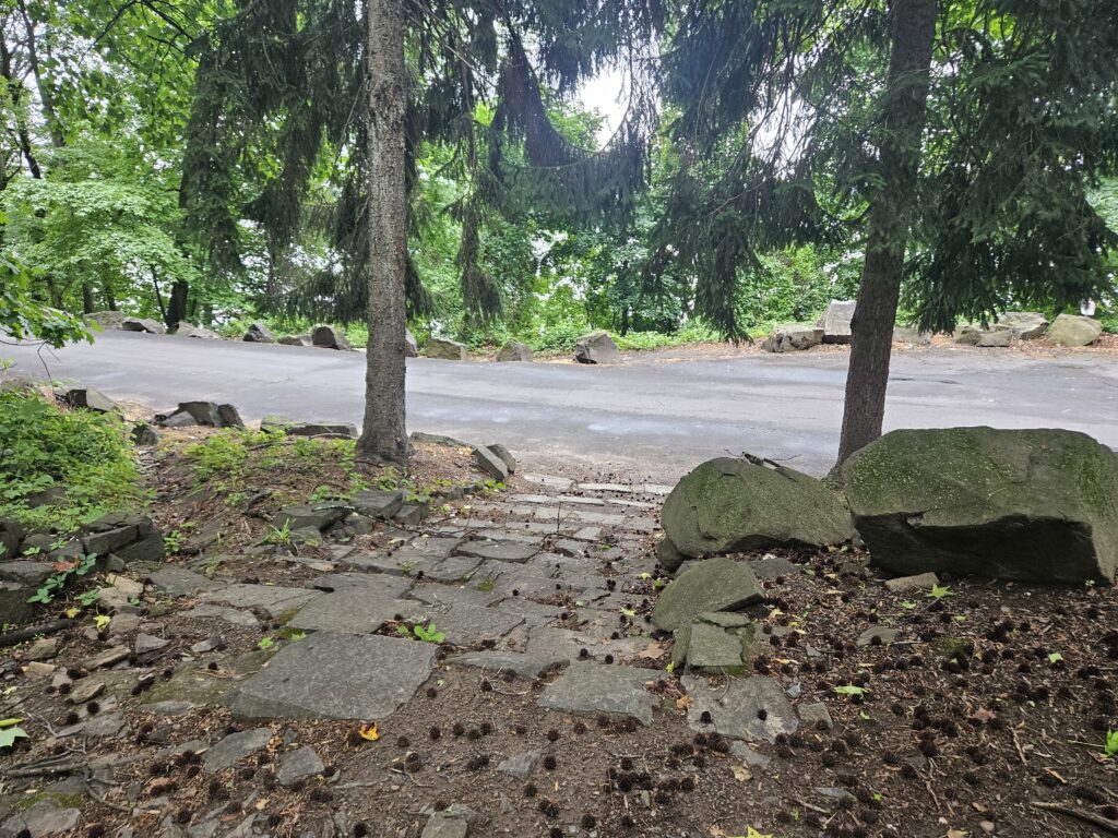
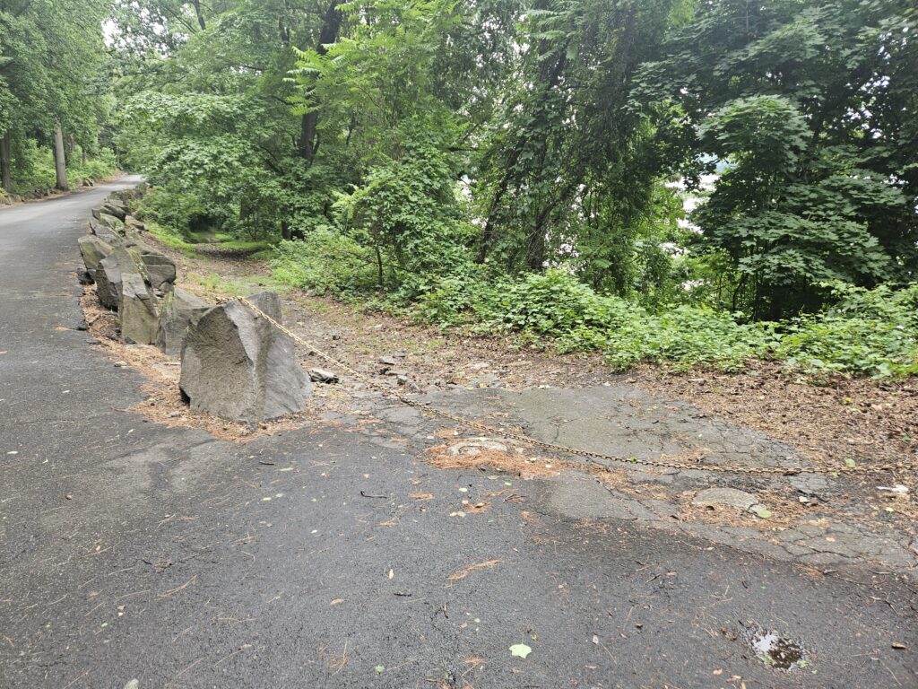
Take the steps down and cross Henry Hudson Drive. Directly across this road, you will find another small, unmarked road behind a chain gate. Take this road down towards the Hudson River, where you will find the Shore Trail.
Undercliff Ruins
At the bottom of the road, the Shore Trail and Greenbrook Falls are just beyond, if you continue straight. Before you head that way, you will want to turn right to where you will find a large lawn and the ruins of the Undercliff Bathhouse. This bathhouse opened in 1922 to serve the newly opened Undercliff Beach (which has now closed).
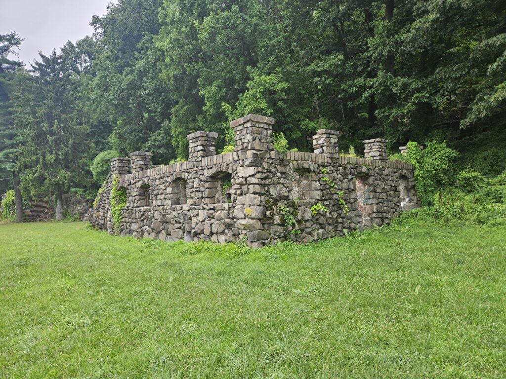
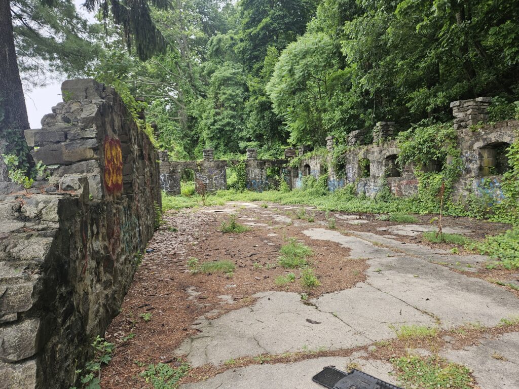
The building remained mostly intact until 1980, when the structure was gutted. Today, only the bottom level and two sets of stairs to what was once the second story remain.
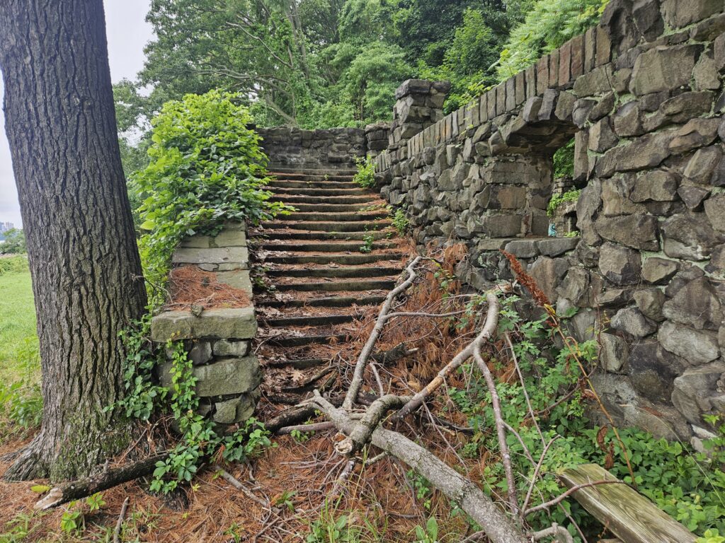
In 1940, the beach closed, and the bathhouse was abandoned.
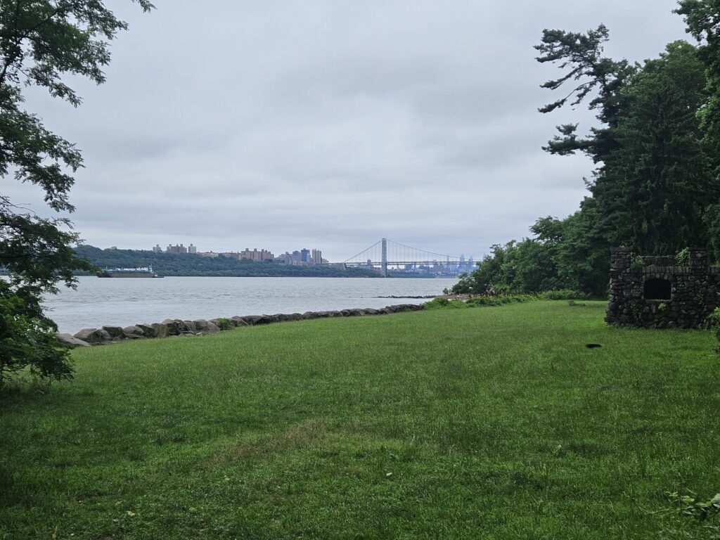
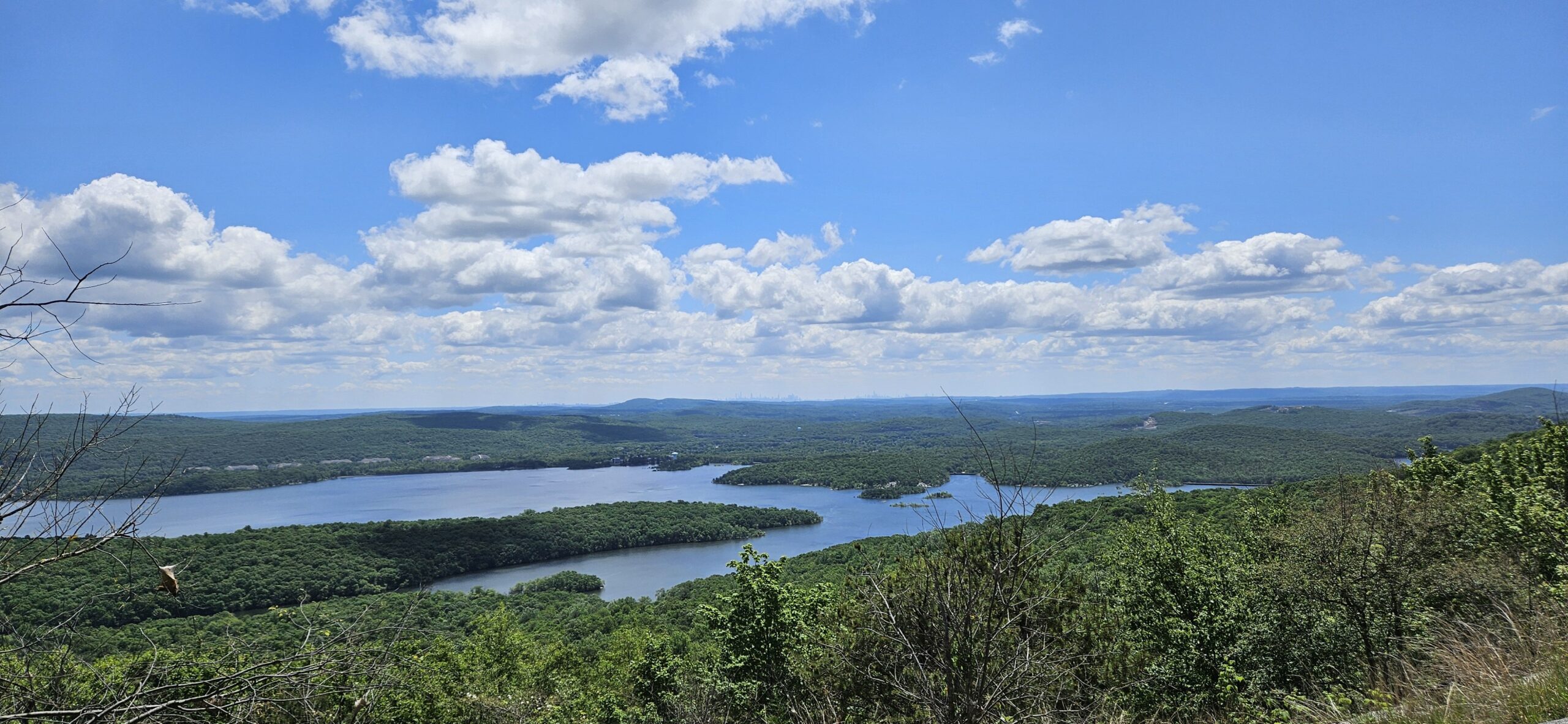
Not only are the ruins interesting, but they also offer some great views of New York City. If you look south, downriver, you can see the George Washington Bridge and the skyline of the upper section of Manhattan.
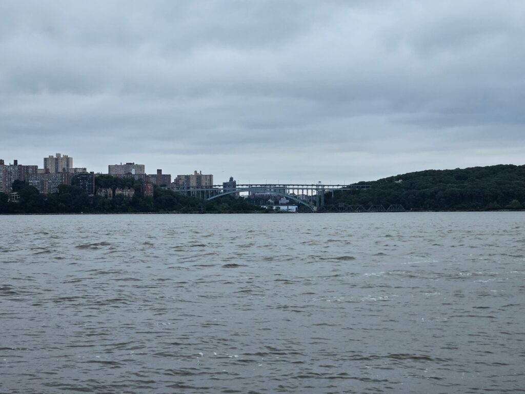
If you look directly across the river, you can see the Henry Hudson Bridge, which connects the Bronx and Manhattan.
The Shore Trail
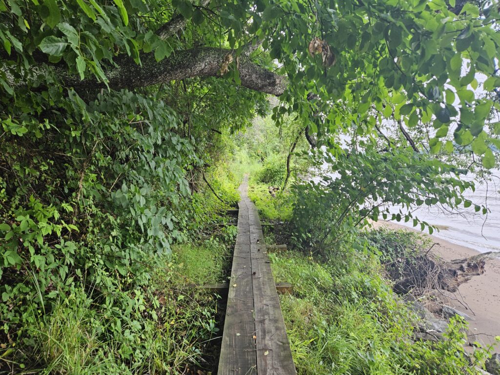
After taking in the Undercliff Bathhouse Ruins and the accompanying views, return the way you came. Instead of returning uphill to Henry Hudson Drive, locate an obvious trail heading upriver to begin the Shore Trail. This trail is marked white, but there are no obvious markings here. Fortunately, the trail is easy to find.
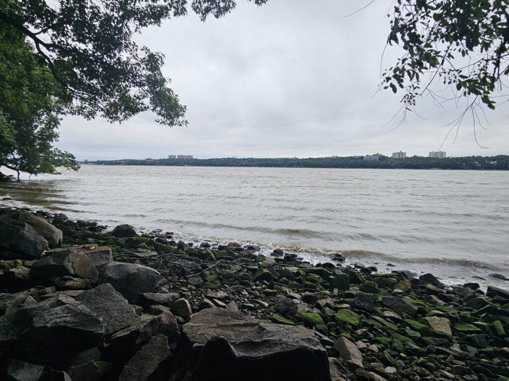
This trail is relatively level but very rocky. Along the way, numerous clearings offer views of the Bronx and, later, Yonkers.
There are also a few beaches, though it is not safe to swim here.
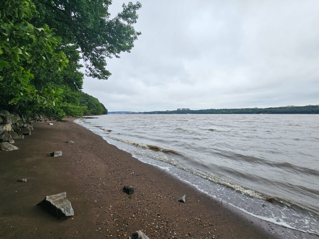
The trail alternates between short, wooded sections and views of the Hudson River and New York.
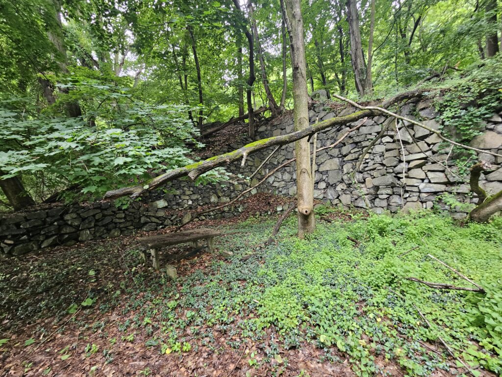
Occasionally you will pass some small ruins, but nothing nearly as impressive as the Undercliff Bathhouse. The first ruin is of an old picnic area, complete with a few dilapidated picnic tables.
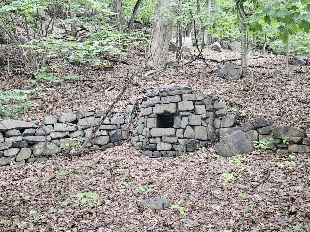
The second is an old stone structure that has unfortunately been unofficially converted into a trash can.
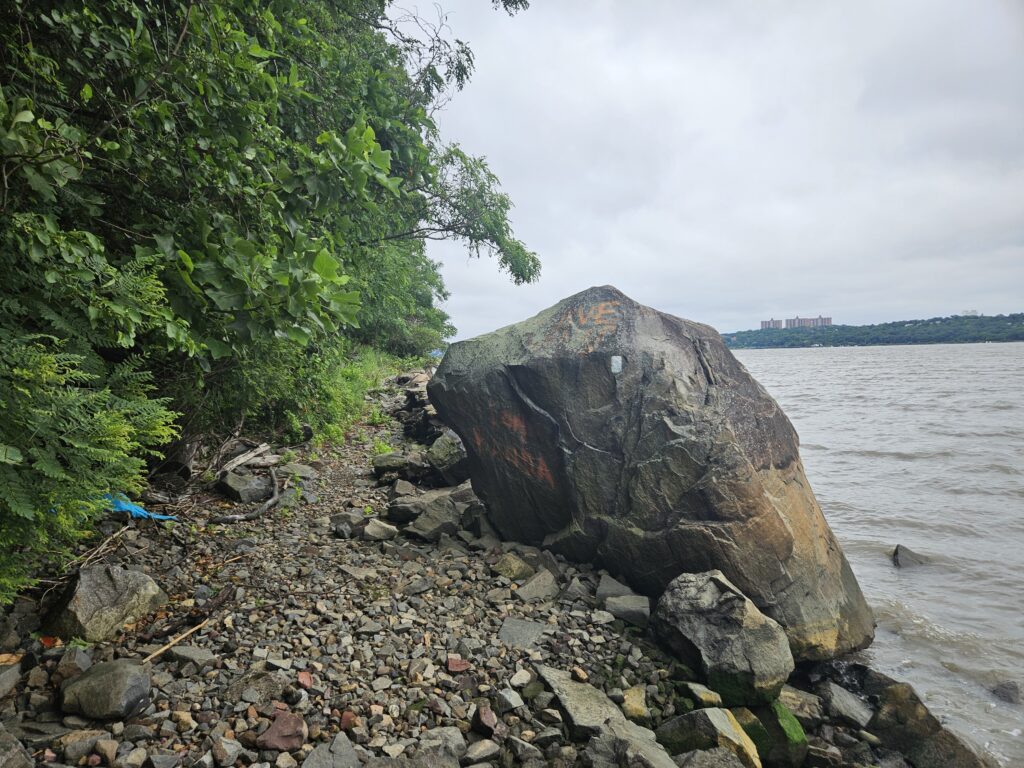
Unfortunately, the area surrounding the trail is very dirty. featuring a mix of litter and graffiti, which really detracts from the experience.
After about 1.6 miles, you will reach a small bridge crossing Lost Brook.
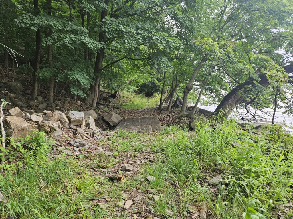
If you look to the left, you will see the first of the two waterfalls on the hike: Lost Brook Falls.
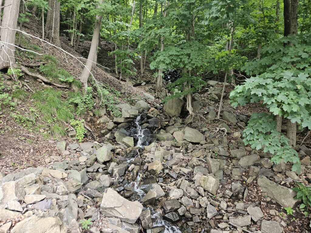
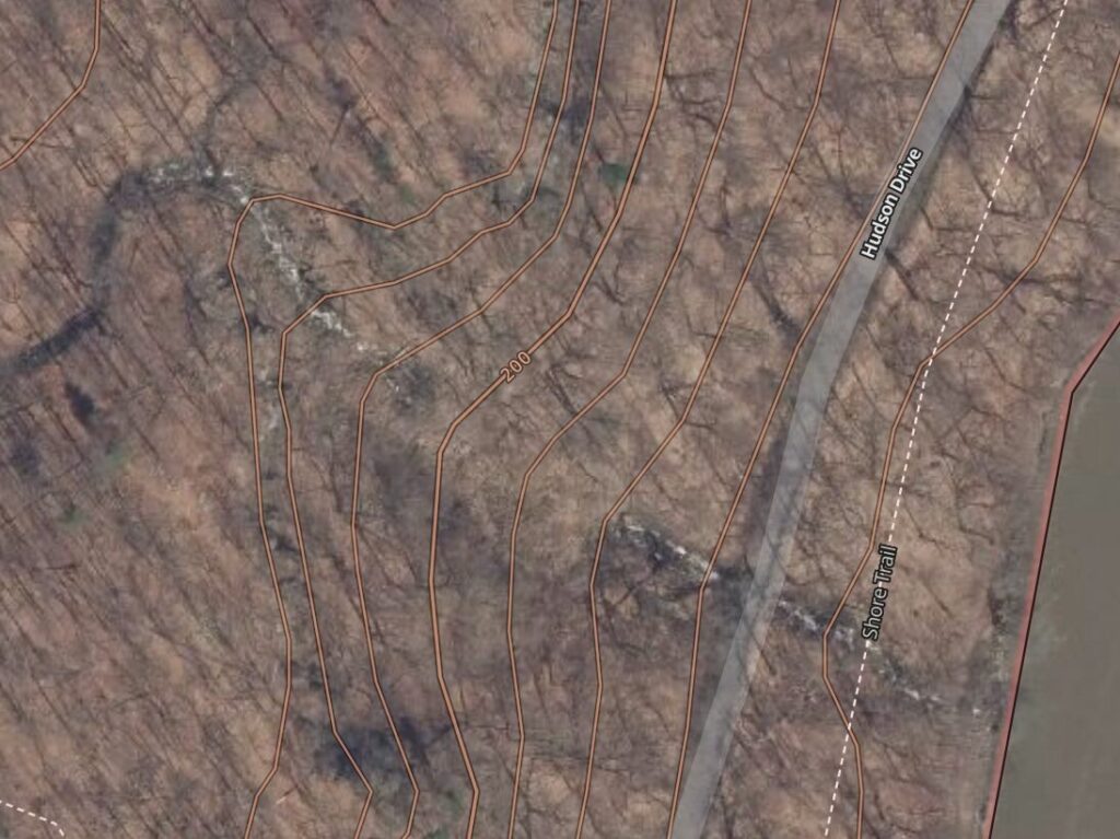
Lost Brook Falls is easily the less impressive of the two waterfalls. Despite being 220 feet, the steep cliffs severely limit visibility, with only the bottom section visible. Luckily, the section of land between the Shore Trail and Henry Hudson Drive is fairly accessible, and you can explore the area to take in views of this large cascade.
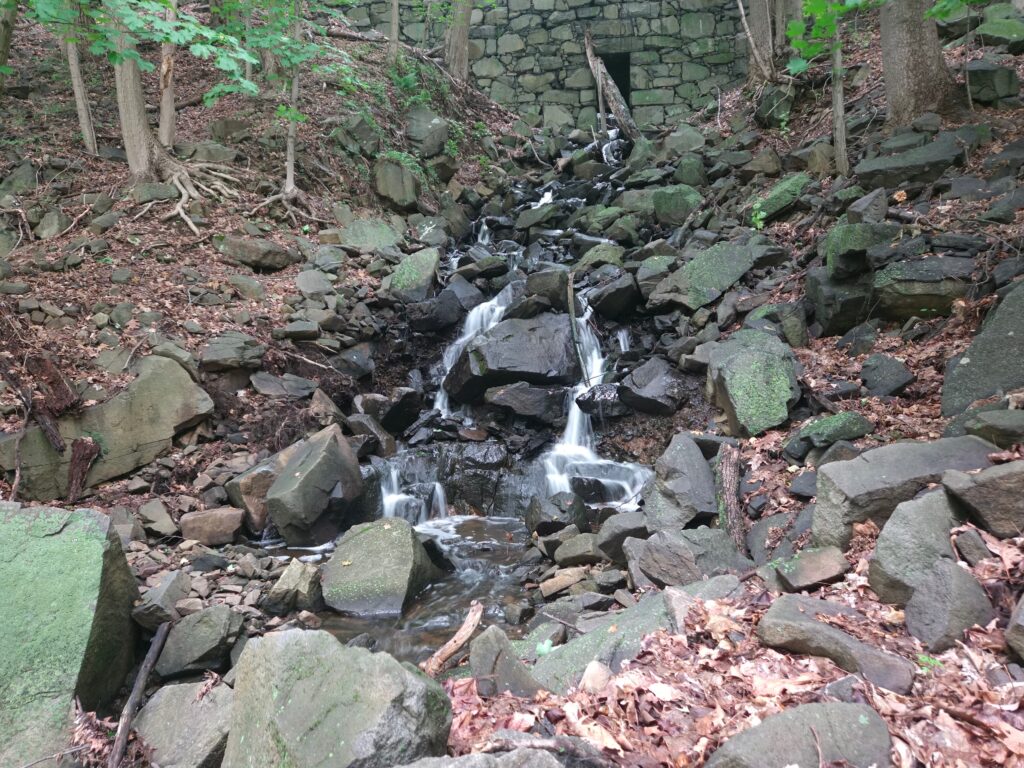
Upstream of Henry Hudson Drive, the waterfall becomes nearly invisible thanks to the thick foliage. Only a small portion is visible from the actual roadway.
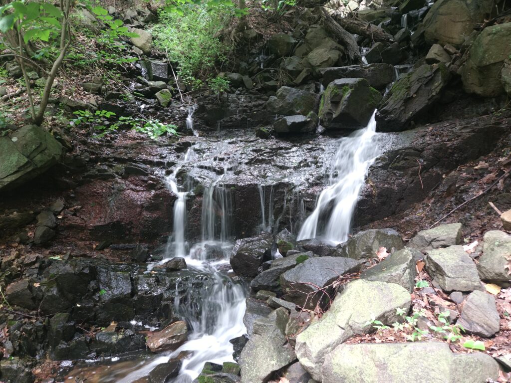
Lost Brook Falls really lives up to its name with its lack of visibility, especially since it is over 200 feet tall and visitors can see only a fraction of it. In fact, the middle section of the waterfall (which hikers can’t access) appears to disappear into the ground at one point.
From Lost Brook Falls, continue on the Shore Trail for 0.6 miles until you reach the main destination: Greenbrook Falls.
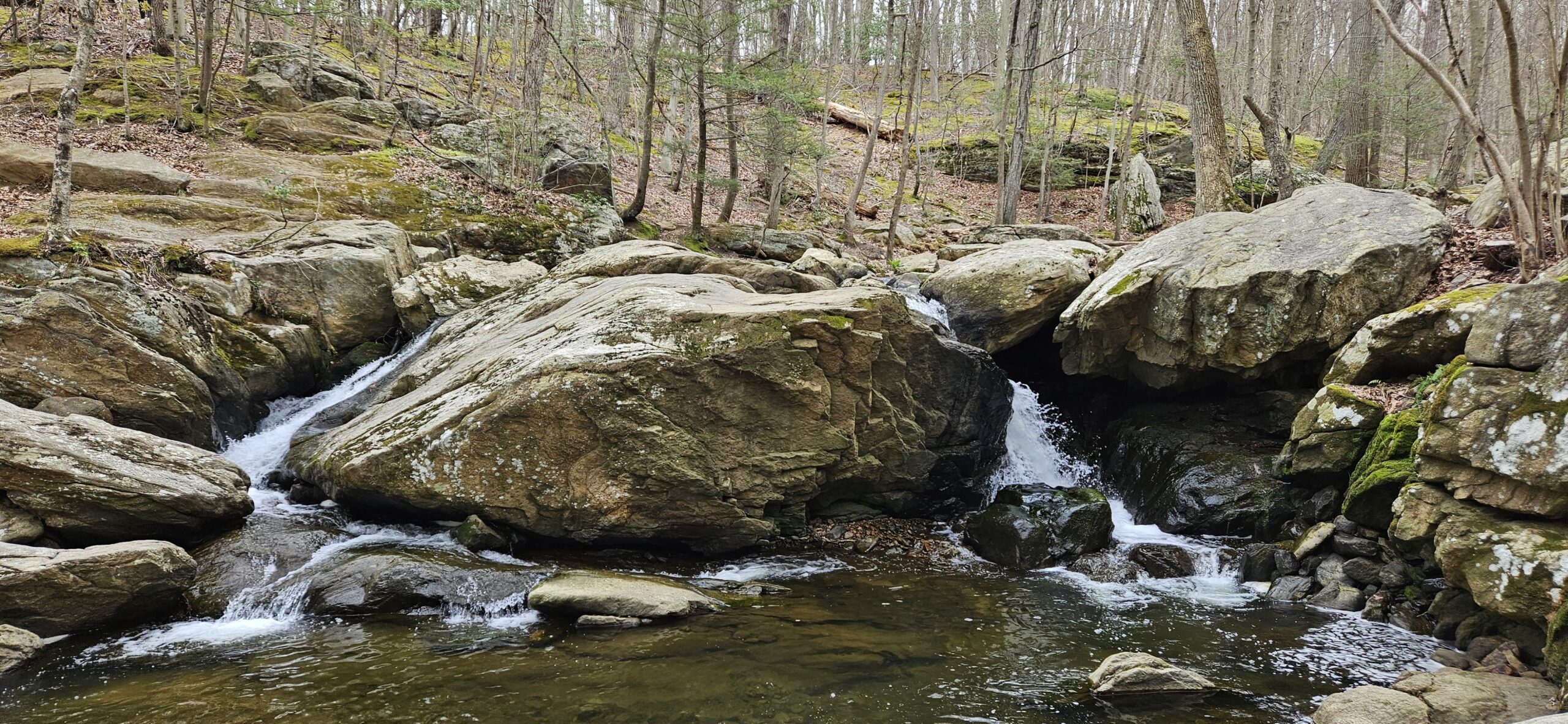
Unlike at Lost Brook Falls, there is no dedicated bridge here; instead, you have to cross a deliberately placed rock crossing to reach the other side of Green Brook.
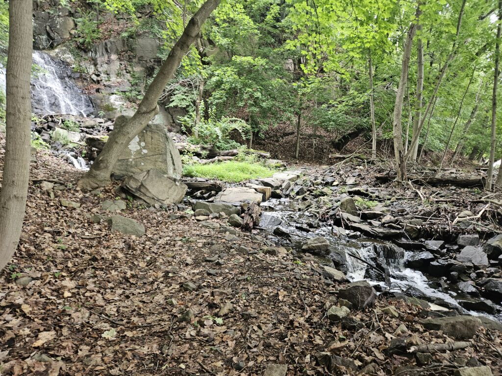
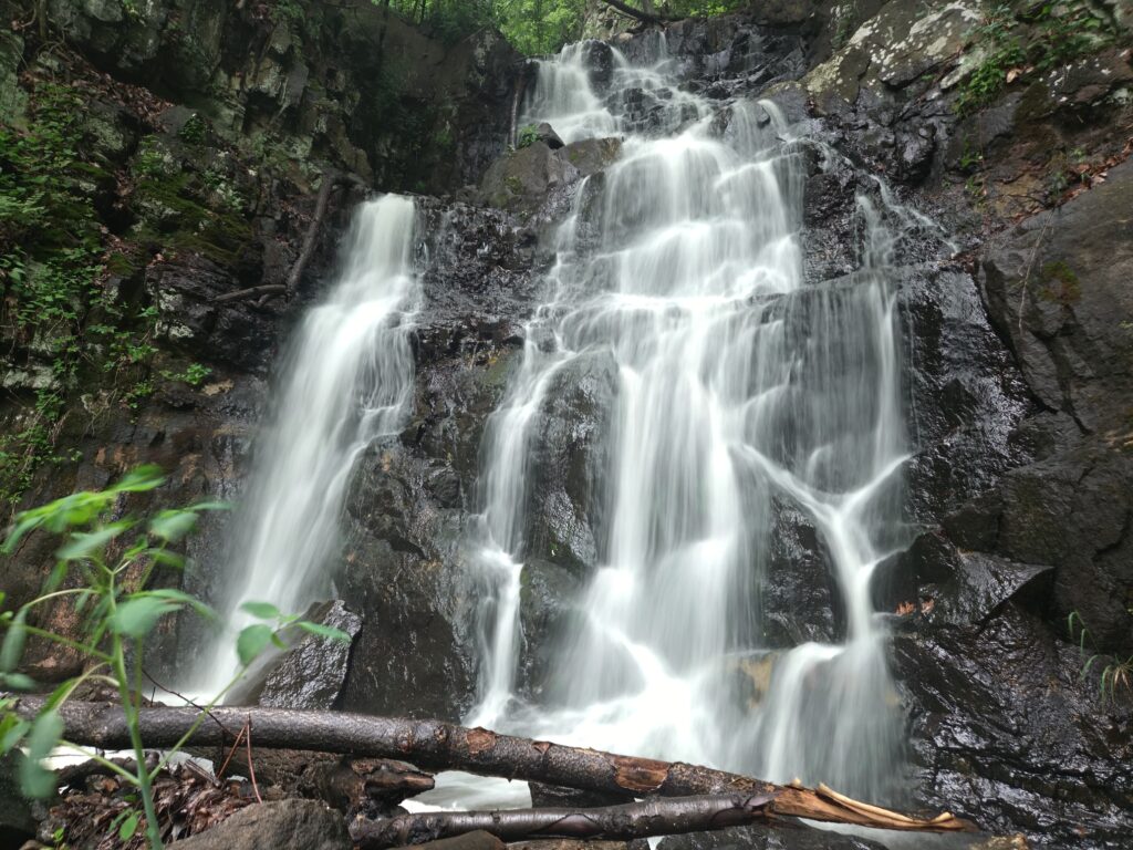
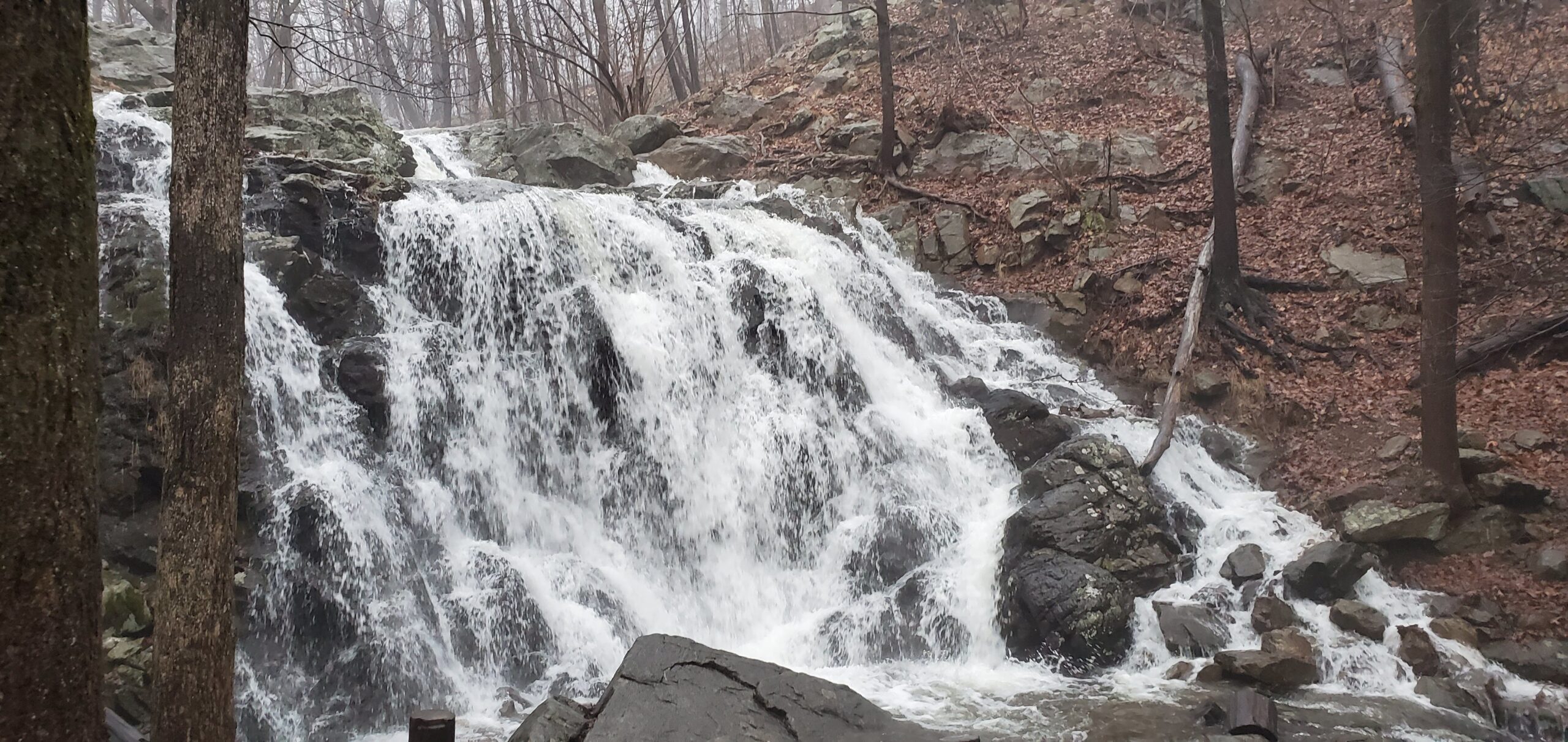
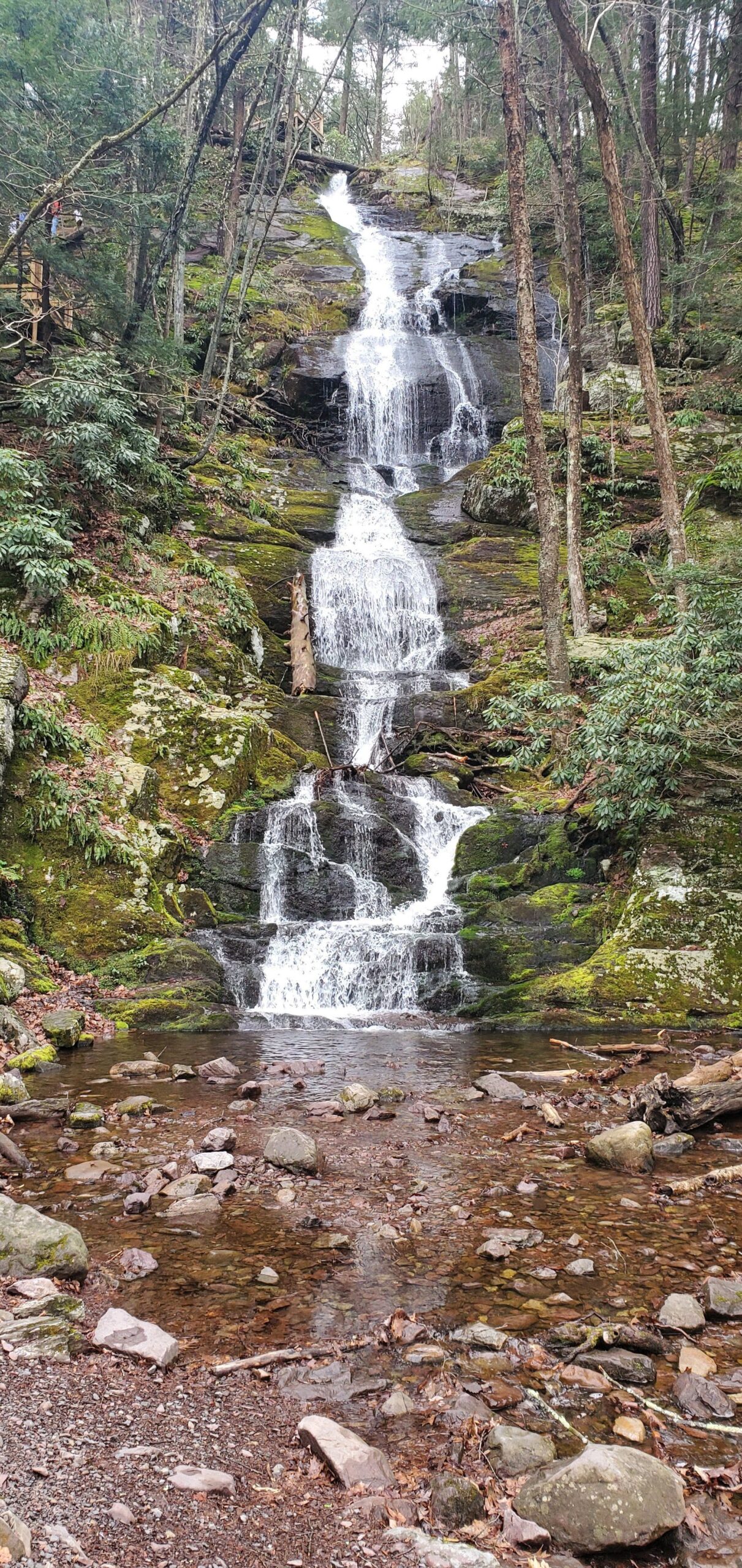
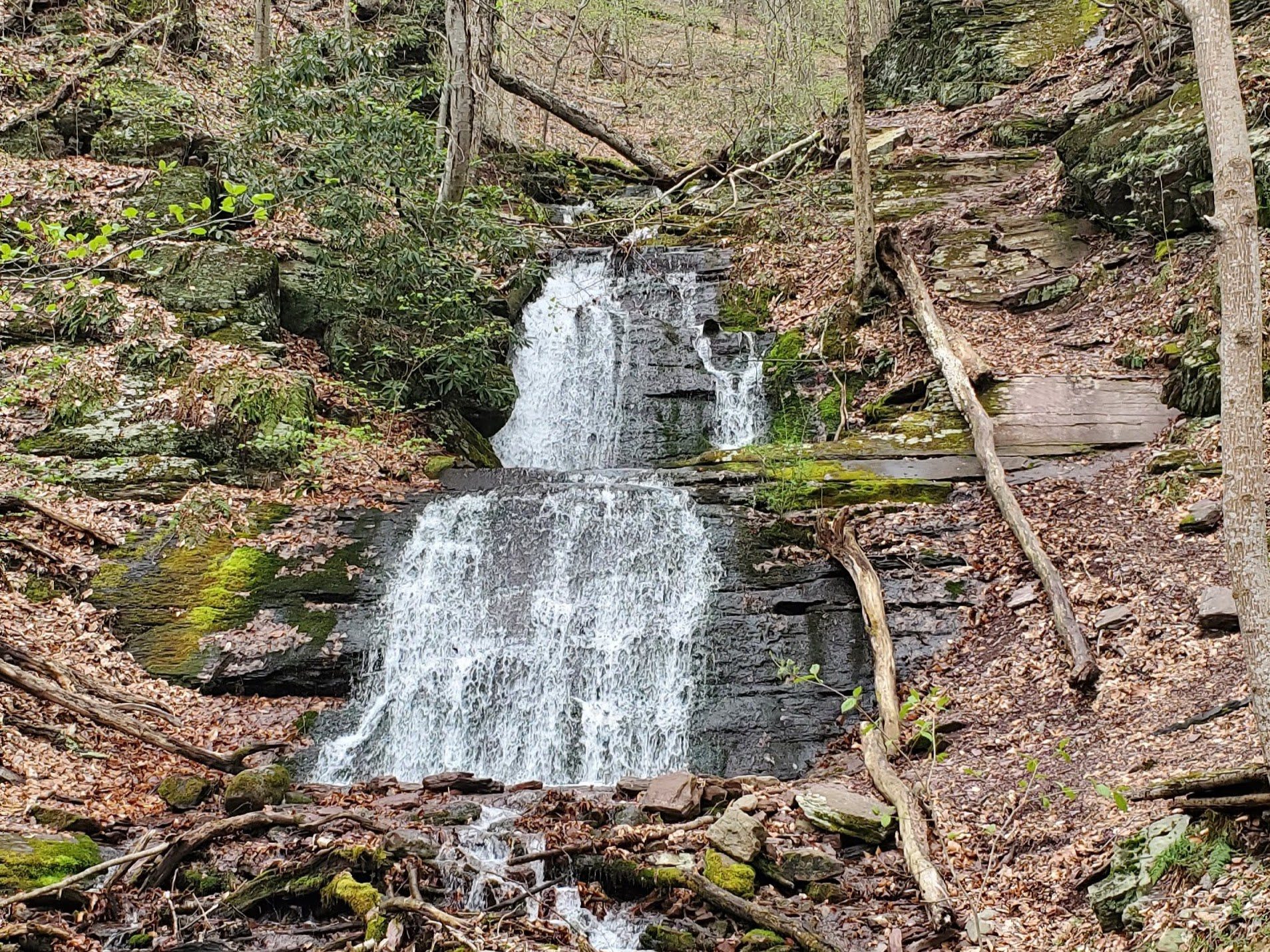
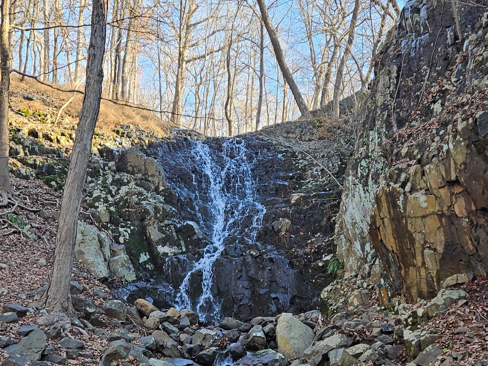
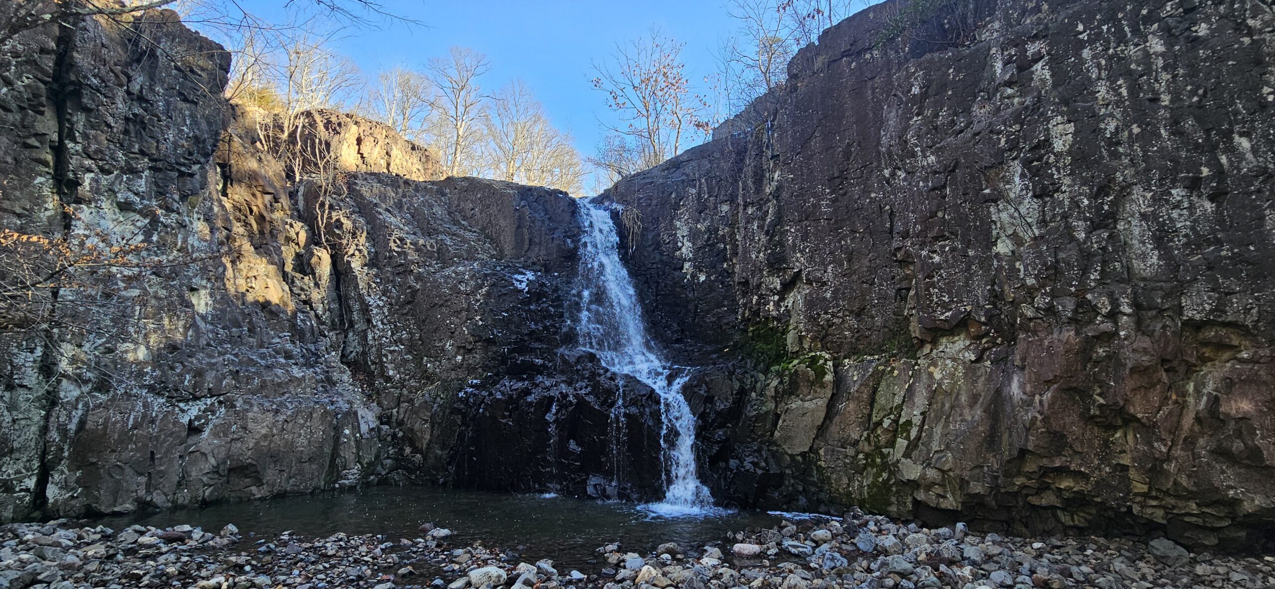
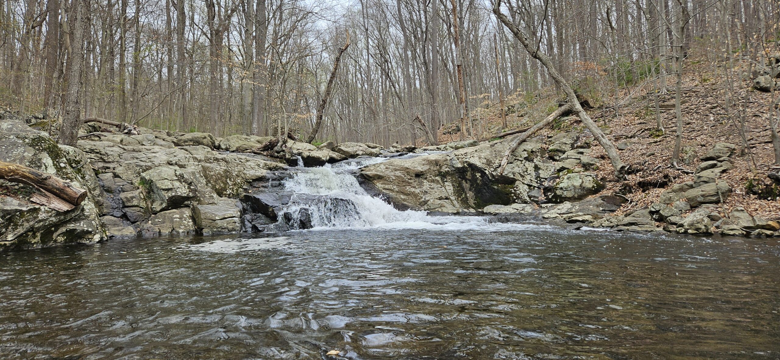
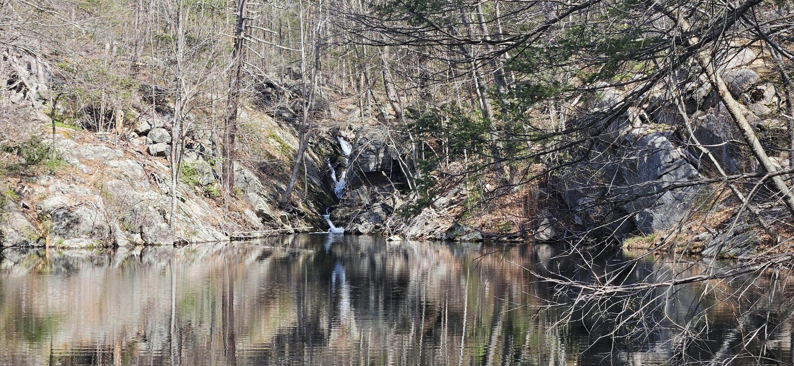
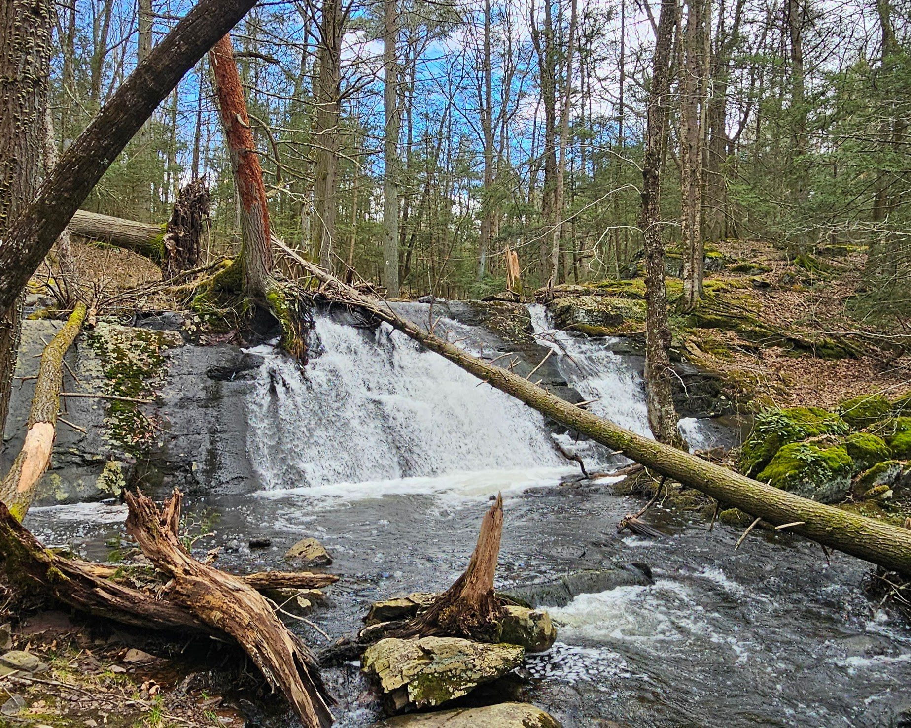
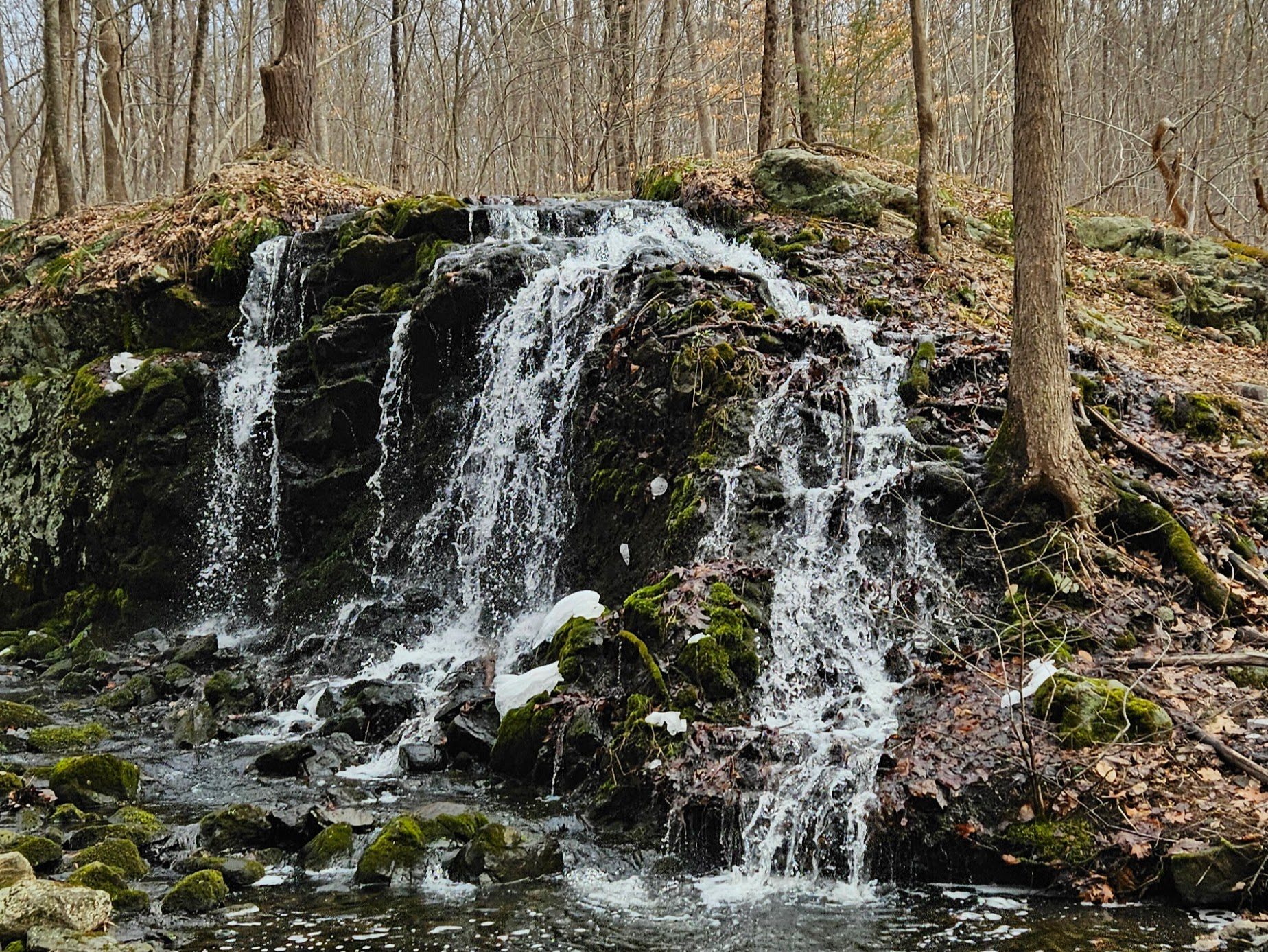
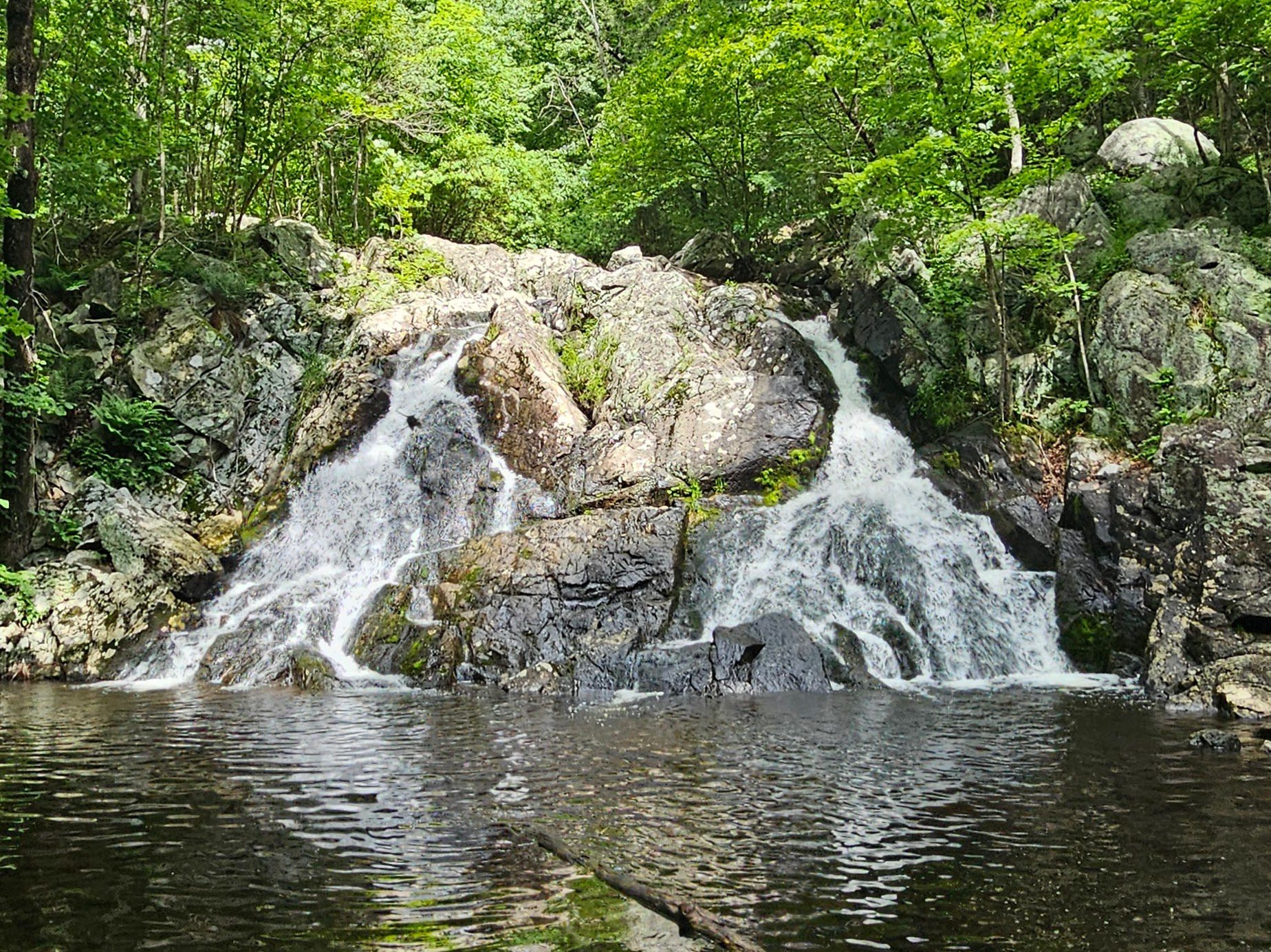
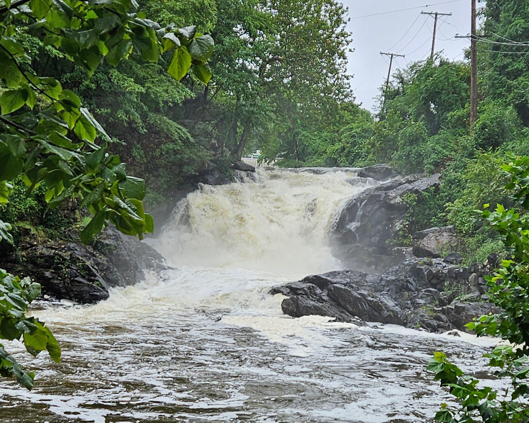
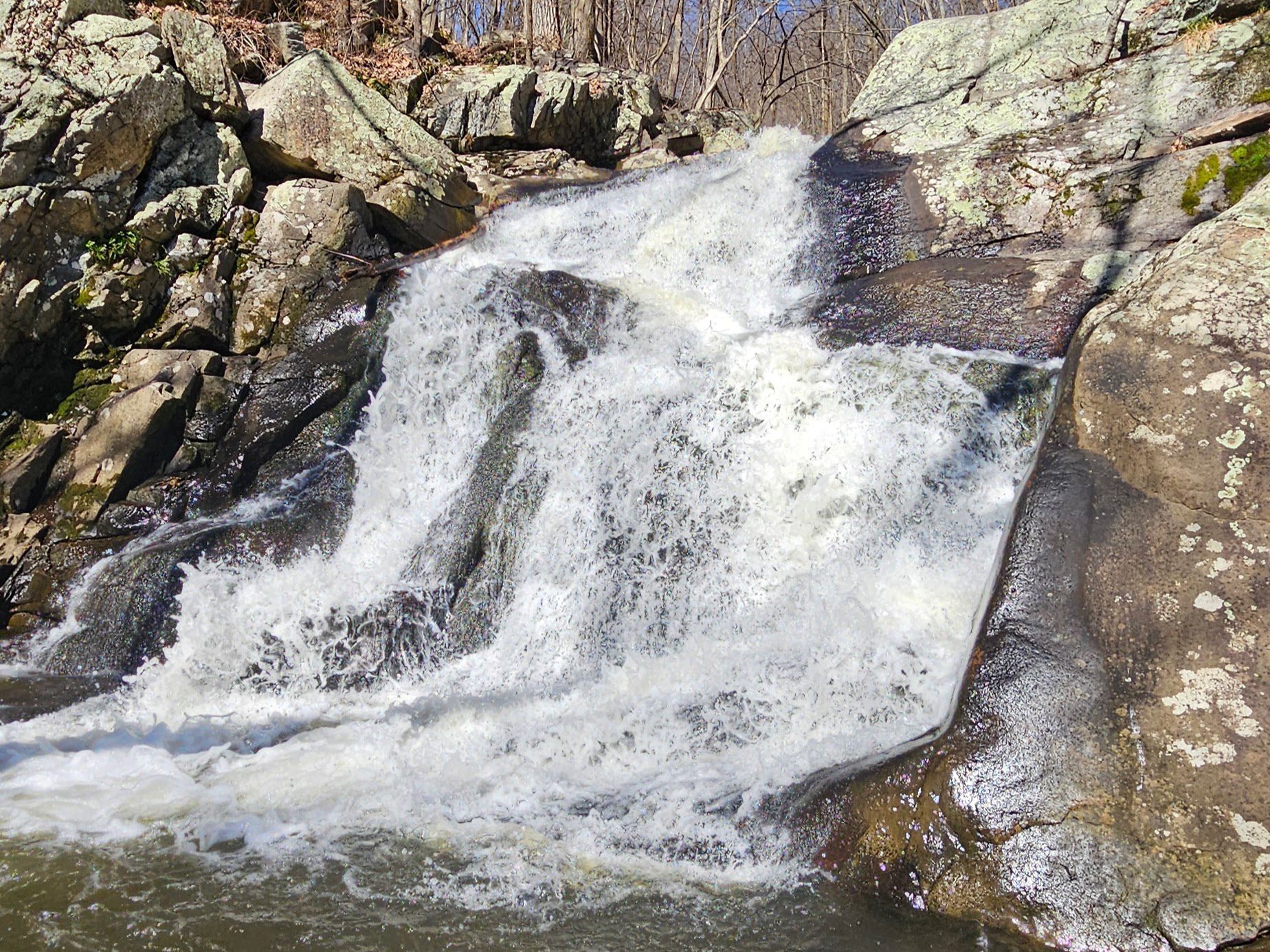
Once across, you will see the final drop of this impressive 250-foot waterfall. Note: It had just rained when these images were taken. If you visit during a dry period, Greenbrook Falls may be just a trickle.
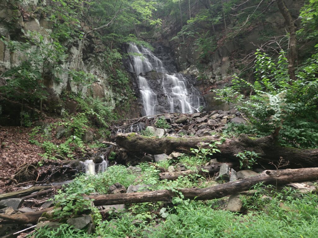
As with Lost Brook Falls, you can’t see the waterfall all at once, and while more is visible overall, some portions are unsafe to view. Fortunately, the visible section is very impressive, consisting of two main drops easily totaling more than 50 feet.
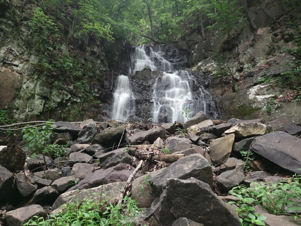
The area below the waterfall is very clear, allowing you multiple angles of the visible portion.
Unfortunately, the only other safely accessed view of the waterfall is from Henry Hudson Drive. Unlike at Lost Brook Falls, the terrain between the road and the trail is very steep and not safe to climb. The best access is to take a long road walk or drive past it on your way out (you cannot park on the road). Do not make this view a priority, as it is obscured by trees; the view from the trail is far superior.
From Greenbrook Falls, simply return the same way you came.
Review
My opinion on the hike to Greenbrook Falls is mixed. When it is flowing well, Greenbrook Falls is undeniably impressive, even with the limited visibility. The Undercliff Ruins at the start and end of the trail are also enjoyable and interesting. The problem is that the trail between these two highlights is unexciting and a drag to get through. The loose, sharp rocks are annoying to walk on, and the near-endless sight of litter and graffiti detracts from the experience. I understand that the geology of the park leads to a rocky trail, but aesthetic improvements such as cleanups would make the hike feel less like a chore, which is a shame, because the tallest waterfall in New Jersey should not feel like a chore to get to.

Leave a Reply