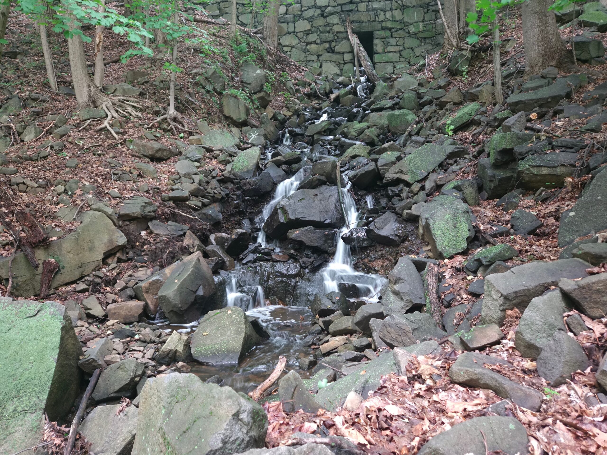
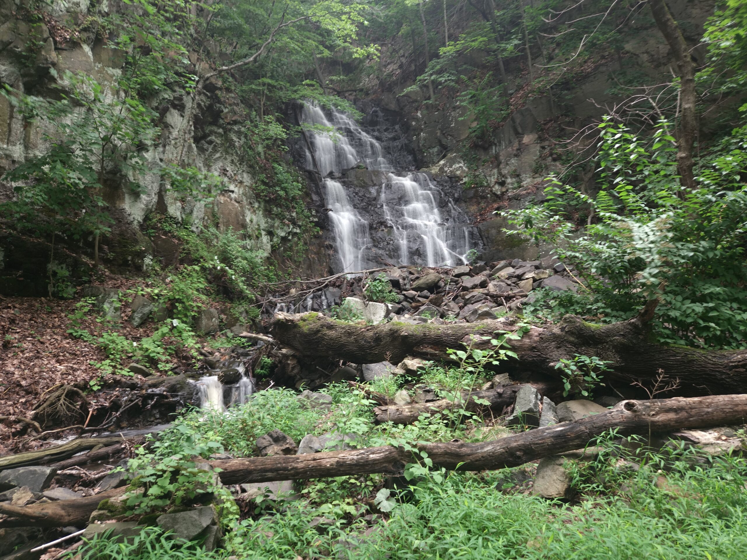
Lost Brook Falls is a 220-foot seasonal waterfall in the New Jersey Palisades. It is the second-tallest waterfall in the state, just behind the neighboring Greenbrook Falls. Similar to that waterfall, Lost Brook Falls is a long, tumbling cascade down the Palisades Cliffs of Palisades Interstate Park, though this one features a more gradual descent, at least at the visible portions.
Unfortunately, the location of Lost Brook Falls comes with a few major limitations. First, it is extremely seasonal thanks to its small drainage area and bedrock geology that quickly washes water away. Second, visibility is very challenging. The lower part of the waterfall, between the Shore Trail and Henry Hudson Drive, is easy to see, but beyond a small section above Henry Hudson Drive, the upper part is nearly invisible (hence “Lost Brook”). The lack of visibility really undermines the claim to being the second-tallest waterfall in the state; it does not feel worthy of that honor based on what you can see.
A small section of the waterfall is visible from Henry Hudson Drive, but this is a “blink and you miss it” waterfall from the road. To make matters worse, there is no roadside parking at the waterfall. Because of this, the best access is from the trail.
Directions
There are two main ways to hike to the waterfalls: from the Undercliff Picnic Area or the Alpine Picnic Area
- Undercliff Picnic Area Access
- Park at the large (free) Undercliff Picnic Area, which can be found at 40.887389, -73.942444
- Locate a small road at the back of the lot that leads down to the Hudson River. Take this road.
- At the bottom, turn left onto the Shore Trail.
- Follow the Shore Trail for 1.5 miles until you reach Lost Brook Falls.
- Alpine Picnic Area
- Park in the large paid Alpine Picnic Area lot 40.944417, -73.919167
- Locate the Shore Trail at the entrance and exit of the picnic area. Note the Shore Trail passes through this large parking area; make sure you take the correct trail; do not take the trail at the far end of the parking area away from the entrance and exit.
- Follow the trail 2.3 miles until you reach Lost Brook Falls a half mile after passing Greenbrook Falls.
Lost Brook Falls Information
Click here for explanations on the information below
| Waterway | Lost Brook |
| Drainage Area (square miles) | 0.03 |
| Drainage Area Size | Very Small |
| Height (feet) | 220 |
| Latitude and Longitude | 40.911194, -73.930889 |
| Location | Tenafly, Bergen County |
| Type | Cascade, Roadside, Seasonal |
| Best Time to Visit | Spring after heavy rain or snowmelt |
| Property Type | Public – Palisades Interstate Park |
| Ease of Access | Roadside – Easy Hike – Moderate |
Posts Featuring Lost Brook Falls

Hiking to the Tallest Waterfall in New Jersey: Greenbrook Falls (With the Undercliff Ruins)
Tucked along the iconic Palisades Cliffs on the Hudson River sits Greenbrook Falls, the tallest waterfall in New Jersey at an impressive 250 feet. Reaching Greenbrook Falls requires a 4.5-mile round-trip hike along the river’s edge, past the smaller Lost Brook Falls and the large remains of the historic Undercliff Bathhouse Ruins. Despite being the…
Gallery

Leave a Reply