
Description
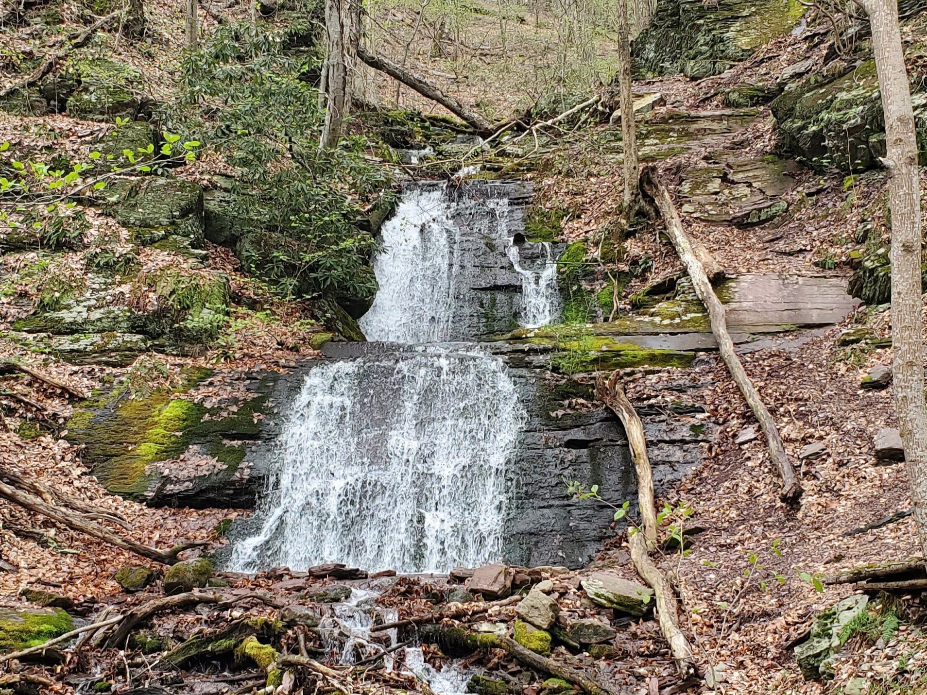
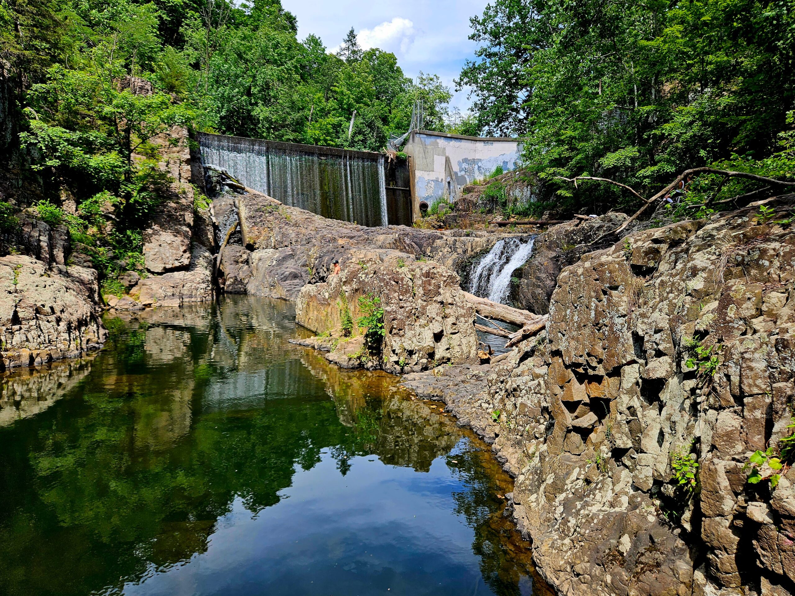
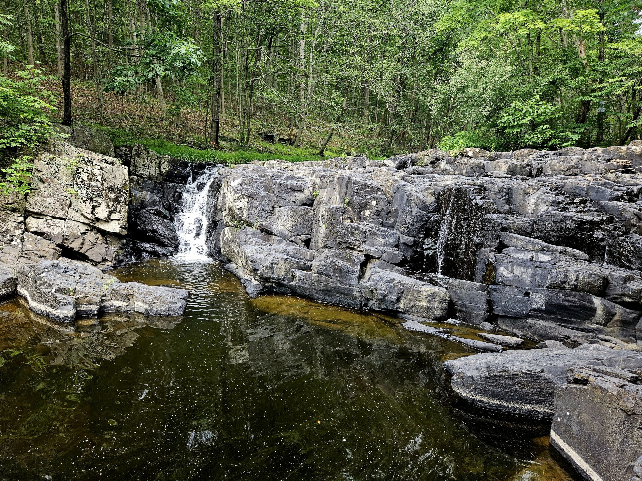
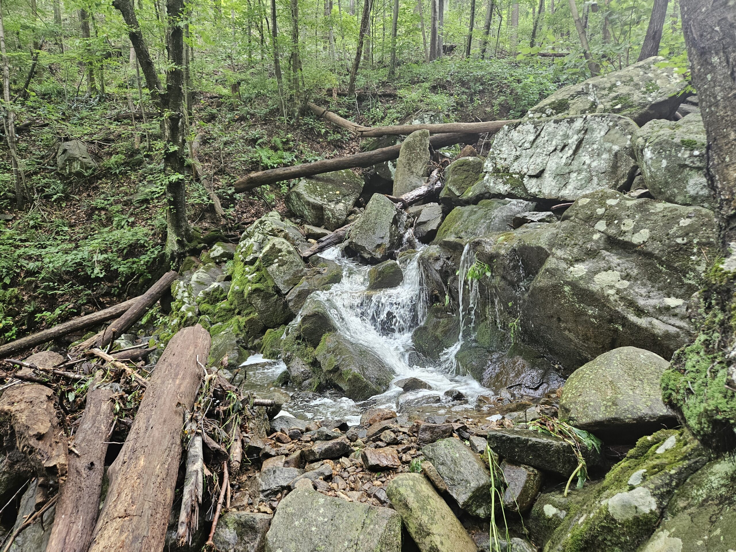
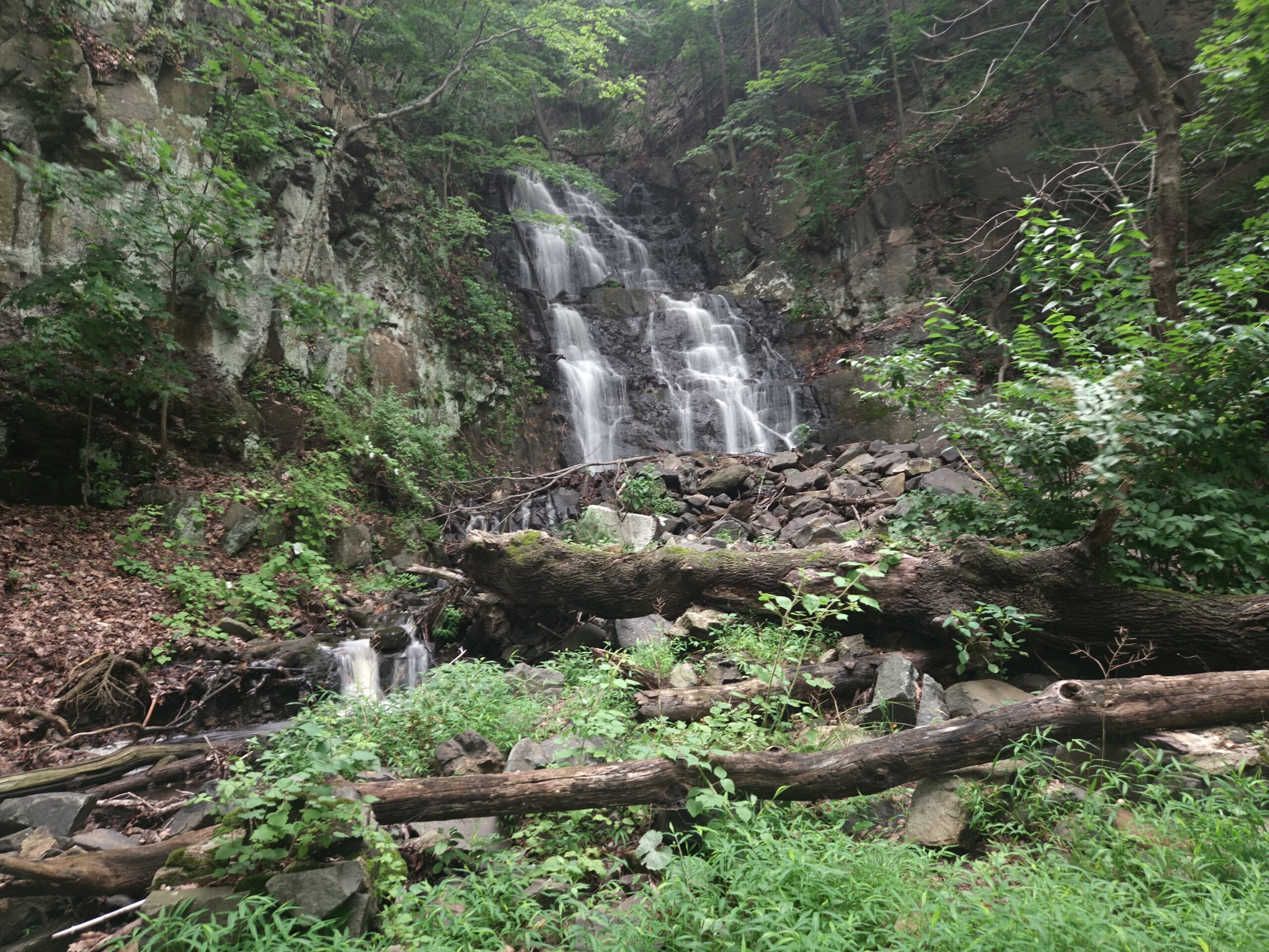
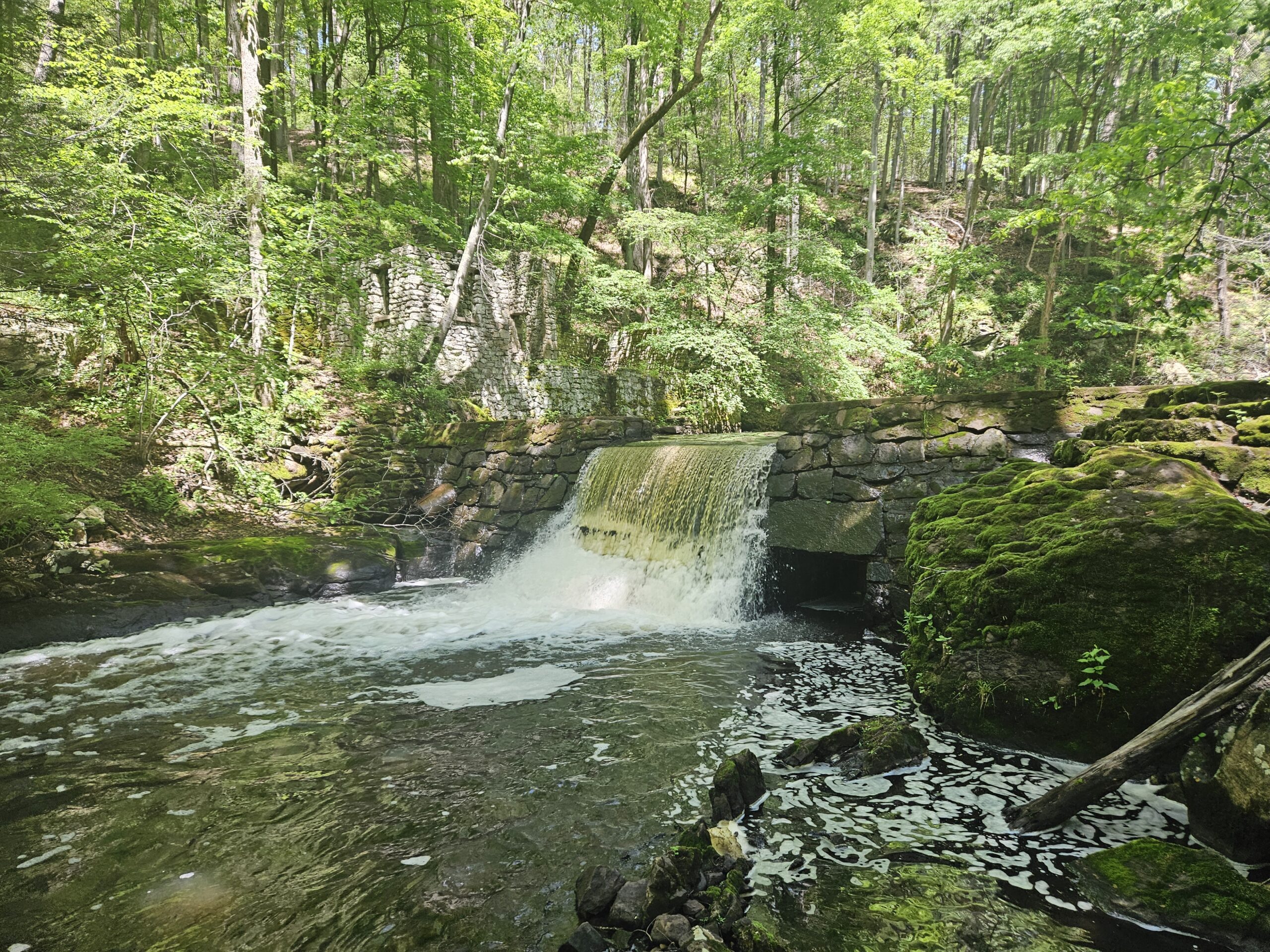
Upper Laurel Falls is a waterfall on Old Mine Road in Worthington State Forest. It is just above Lower and Middle Laurel Falls. The waterfall is estimated at 25 feet, but no official measurements have been taken; however, it is clearly the tallest of the three waterfalls. Upper Laurel Falls is the least visited waterfall along Sunfish Creek, which may be surprising as it is the biggest of the trio. However, in this case, the extra height does not make it look taller than the shorter waterfalls, as foliage largely obscures it.
While the lower two waterfalls can be seen from Old Mine Road at certain times of the year, Upper Laurel Falls always requires a hike.
Parking
Parking can be found at the Douglas Parking Area (134 Old Mine Rd, Columbia, NJ 07832). This parking lot holds about 20 cars and also provides access to the Douglas and Garvey Springs Trails to Sunfish Pond. While less busy than other access points to Sunfish Pond, such as Dunnfield Creek, this can be a busy parking area, so it is best to visit on a weekday or an off-peak weekend. The parking area is right next to the Worthington State Forest campground. While the non-camping public cannot park there, campers have easy access to the falls.
Directions
- From the Douglas Parking area, cross Old Mine Road and begin the Blue Douglas Trail. Note: This trail is to the right of a bridge on Old Mine Road. Do not cross the bridge.
- Almost immediately locate the obvious, unmarked trail to the left heading towards the visible Lower Laurel Falls.
- Follow the trail past Lower Laurel Falls and Middle Laurel Falls.
- After Middle Laurel Falls, the trail thins out significantly. Continue working your way up the now-faint trail a few hundred feet until you reach Upper Laurel Falls. Note: While the trail is faint, it is easy to find where you are going as you stay near Sunfish Creek at all times.
Upper Laurel Falls Information
Click here for explanations on the information below
| Waterway | Sunfish Creek |
| Drainage Area (square miles) | 0.43 |
| Drainage Area Size | Small |
| Height (feet) | 25 |
| Latitude and Longitude | 41.010606, -75.081744 |
| Location | Hardwick Township, Warren County |
| Type | Cascade |
| Best Time to Visit | Spring |
| Property Type | Public-Worthington State Forest |
| Ease of Access | Moderate |
Posts Featuring Upper Laurel Falls

Finding the Hidden Laurel Falls in Worthington State Forest
The Delaware Water Gap and Worthington State Forest are home to a number of very good waterfalls. These include one of the tallest waterfalls in the state: Buttermilk Falls and the popular Van Campens Falls. Aside from those, a less well known trio of waterfalls are located near the ever-popular Mount Tammany and Sunfish Pond.…
Gallery



Leave a Reply