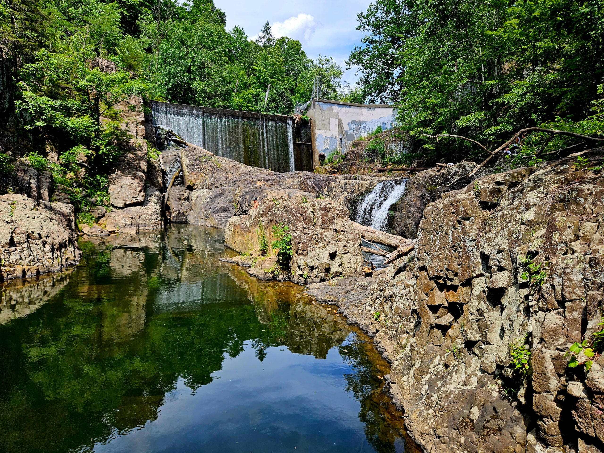
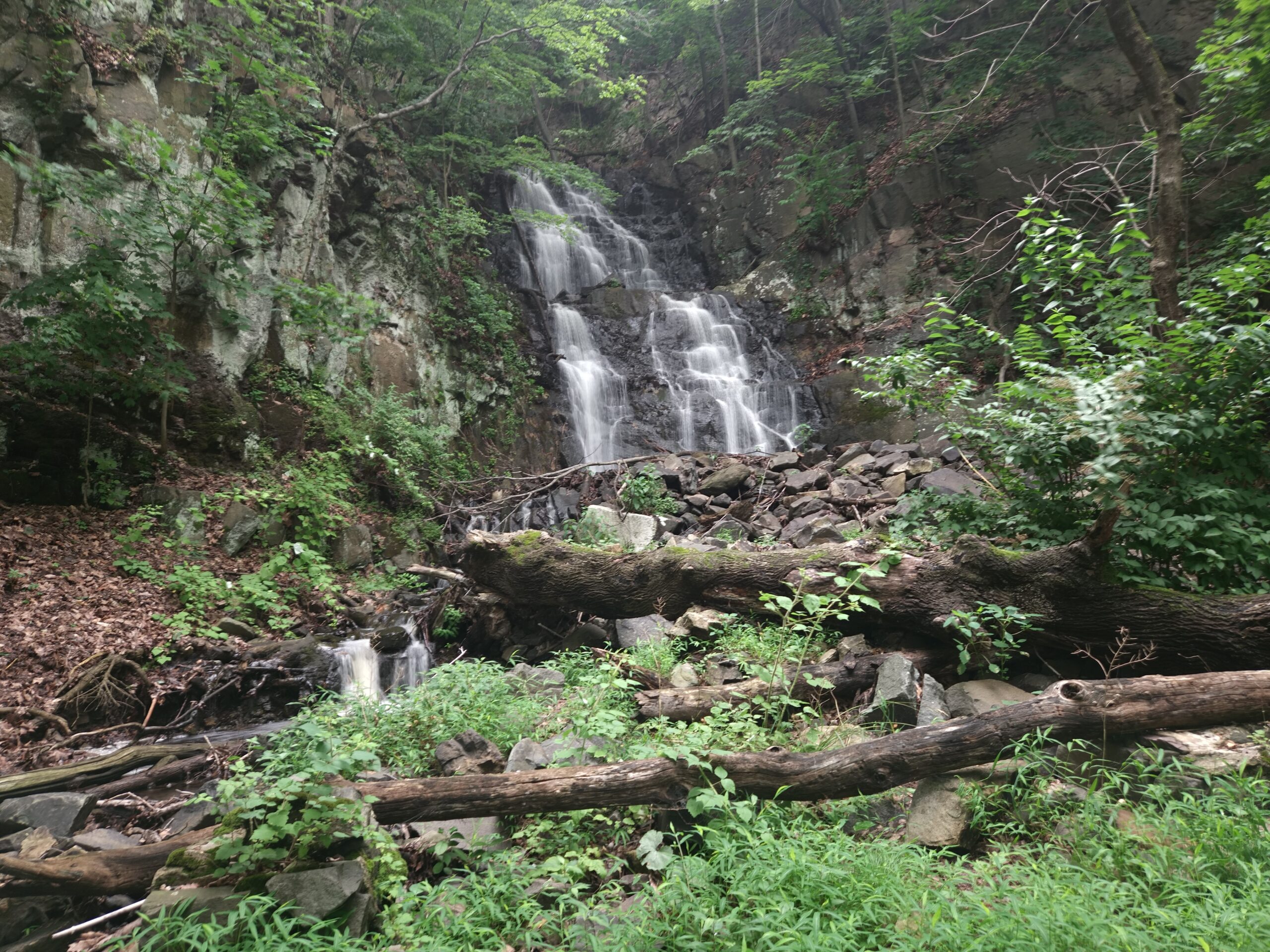
Buttermilk Falls is a scenic waterfall located in Bridgewater’s Washington Valley Park. New Jersey is home to four waterfalls with the same name (the others can be found in Walpack, Mendham, and Wayne). The Buttermilk Falls in Bridgewater tends to fly under the radar compared to the one in Walpack, and to a lesser extent, Mendham. Despite this, it is a scenic waterfall worth visiting. The waterfall is a short walk from the parking lot, but for the best view, you’ll have to climb down into a steep, rocky gorge. While the waterfall is the main attraction, the hike also takes you to a hawk watch with a wide-open view (of a less-than-scenic quarry, unfortunately) and views of the East Branch Reservoir. Continue reading to learn more about hiking to Buttermilk Falls in Bridgewater.
Hike Information
Distance: 1.8
Ascent: ~400
Difficulty: Moderate
Attached is the route as described below for reference. The elevation profile and route were created using AllTrails. Users can download the route to use on their preferred GPS. Click here for information on how to use the GPS routes on your phone.
Parking
Parking access is temporarily unusual due to ongoing park construction. The parking lot is located at coordinates 40.582778, -74.553167 at the end of a newly built, unnamed road that isn’t yet on any GPS devices. Because GPS apps do not yet display this new road, navigation services will direct you via Miller Road instead. Following those directions leads to a road closure that redirects traffic onto a temporary, drivable section of the hiking trail. Follow this detoured route until you return to the paved road. Continue until you reach a fork in the road. There are no signs, but stay right to reach the parking area and trails. If you accidentally turn left, the road dead-ends and you can turn around.
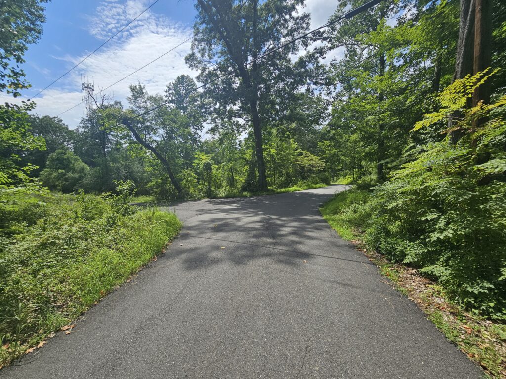
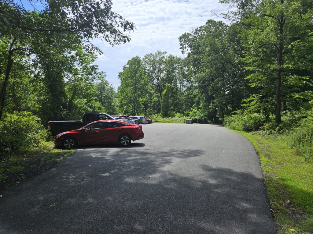
After the fork, you will reach the parking area, which holds about 20 cars.
The Hike
The hike to Buttermilk Falls is moderately difficult because of a few short climbs, rocky terrain, and a water crossing that can be tricky during high water. The full loop is 1.8 miles, though you can hike to the waterfall and back in under a mile if you prefer.
One weird quirk of Washington Valley Park is that the trails in each section are all blazed the same color on the map. In reality, while the primary color is the same, a few trails have secondary colors (such as a yellow blaze with an orange center). This hike is completely in the eastern section and follows the Yellow Trail(s).
Beginning the Hike and the Hawk Watch
To begin the hike, follow the paved Yellow Trail past a gate at the back of the parking lot.
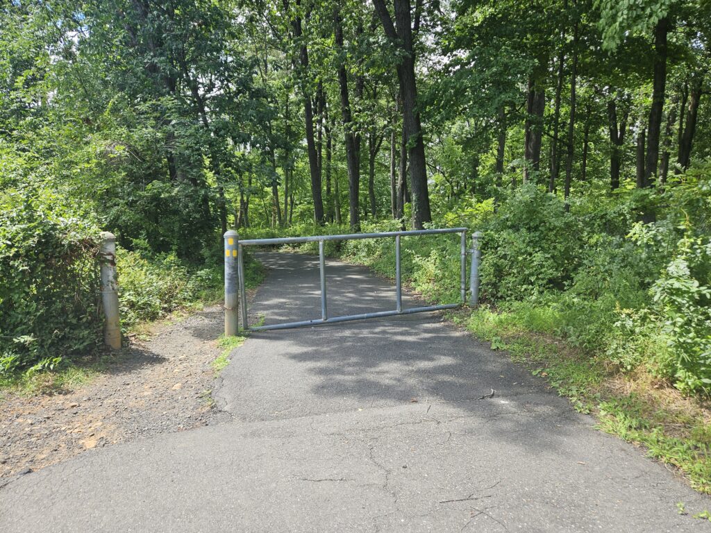
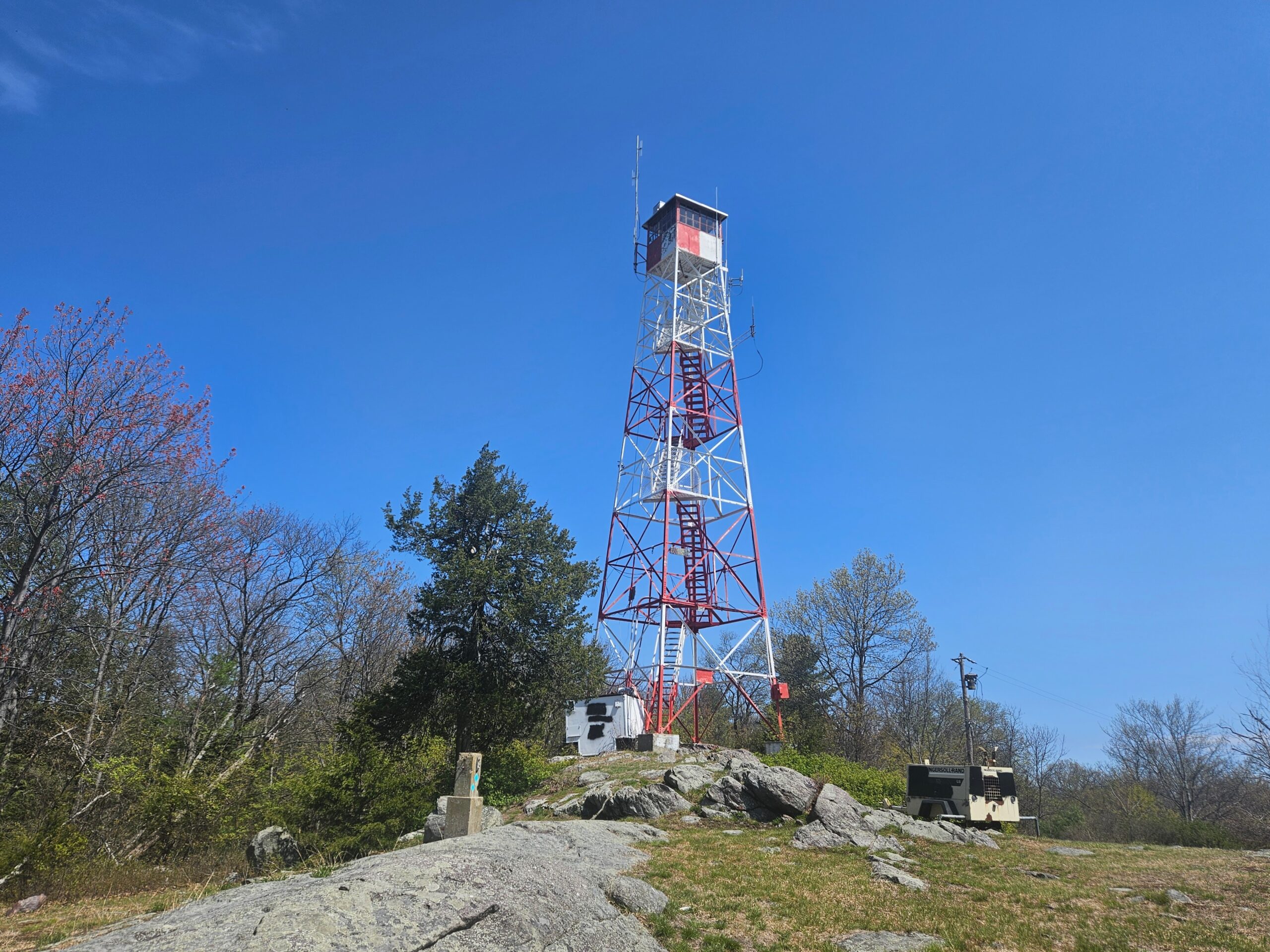
Follow this trail for 0.2 miles until you reach the Hawk Watch.
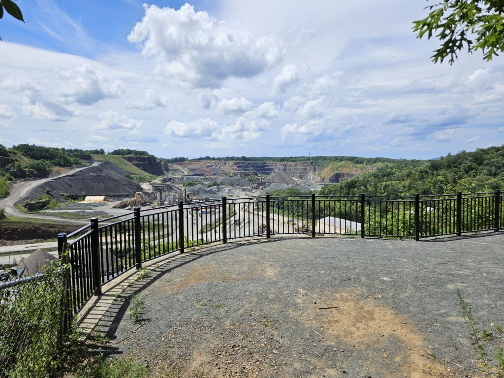
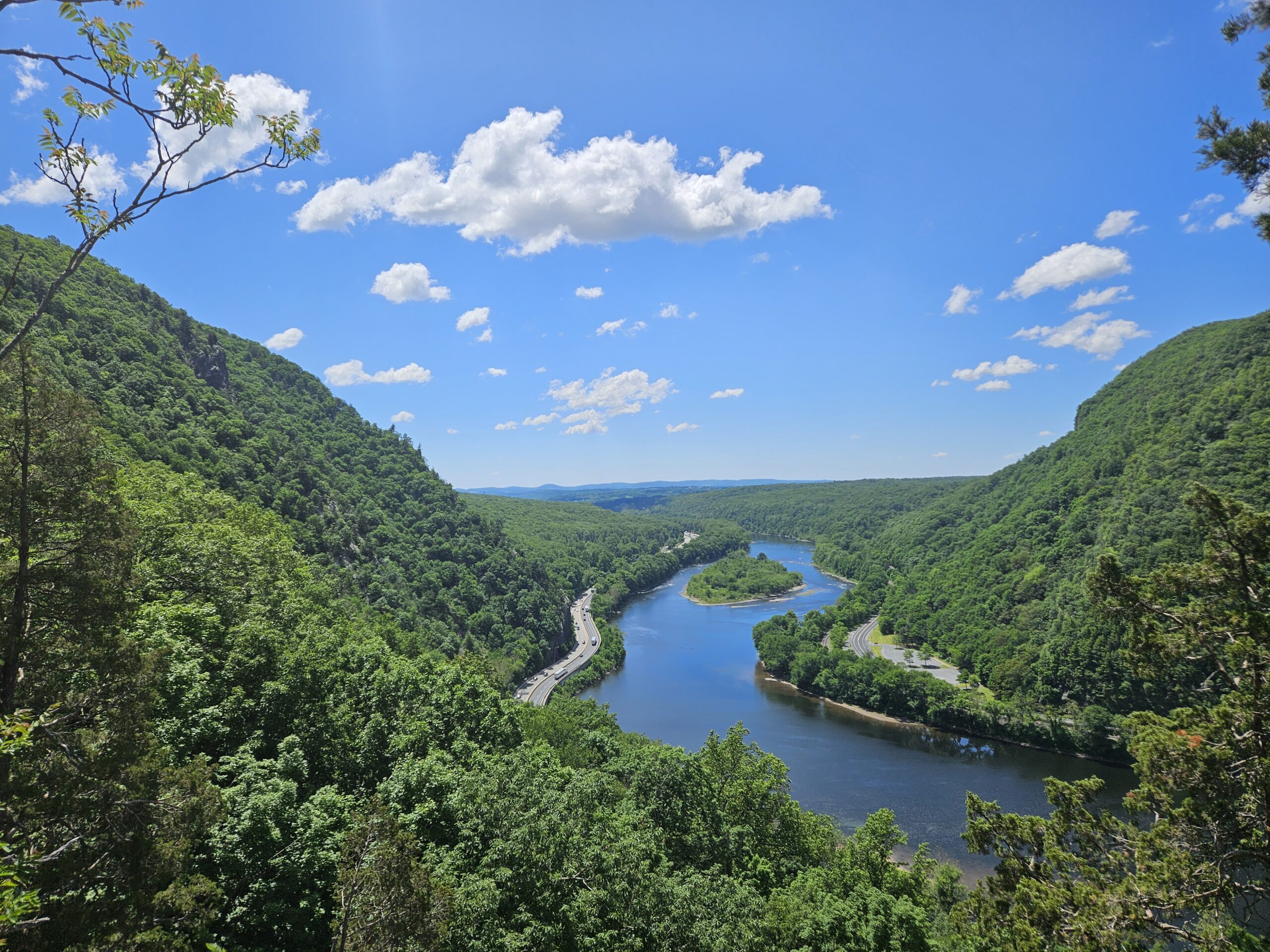
In all honesty, this is one of the worst “Hawk Watches” I’ve ever seen: while expansive, it is mostly a view of the Bound Brook Quarry.

From the Hawk Watch, continue on the trail, which turns into an unpaved road.
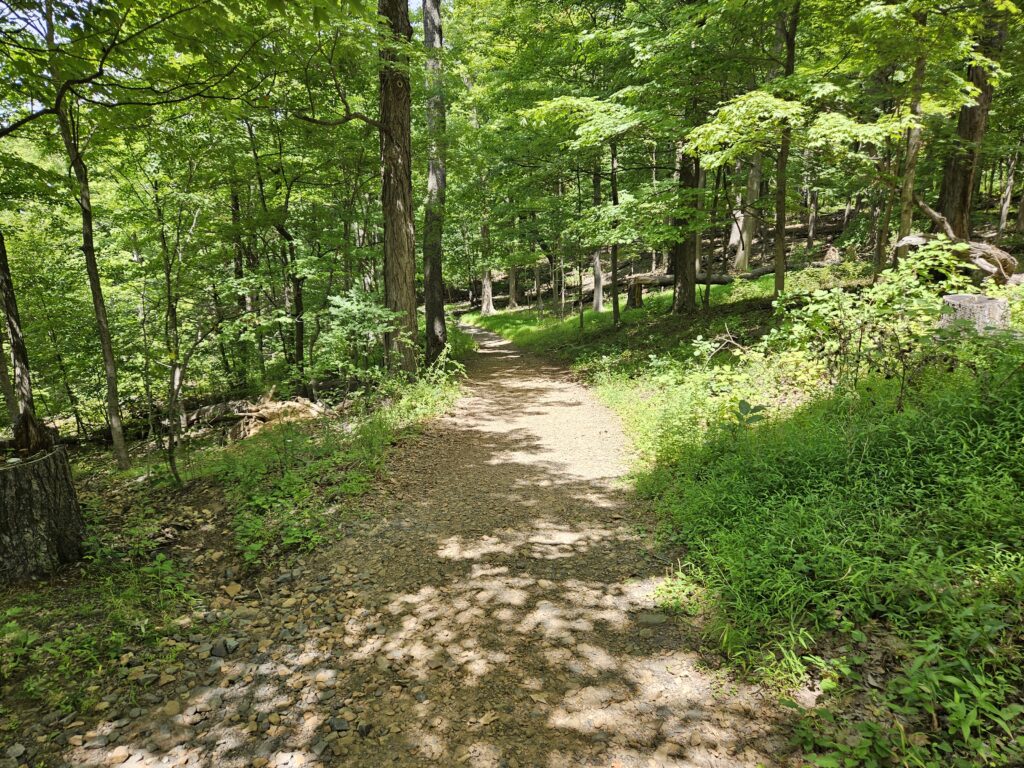
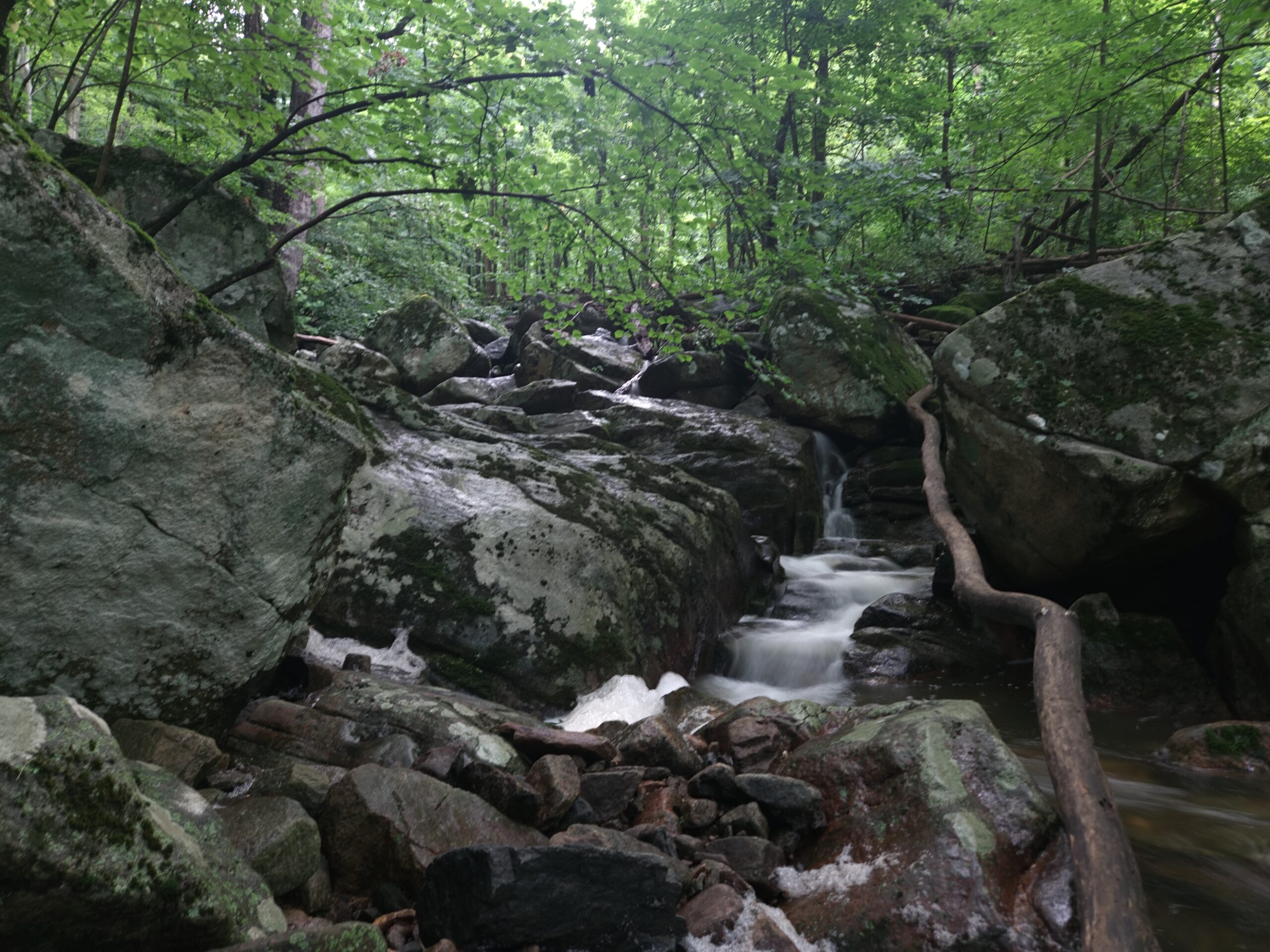
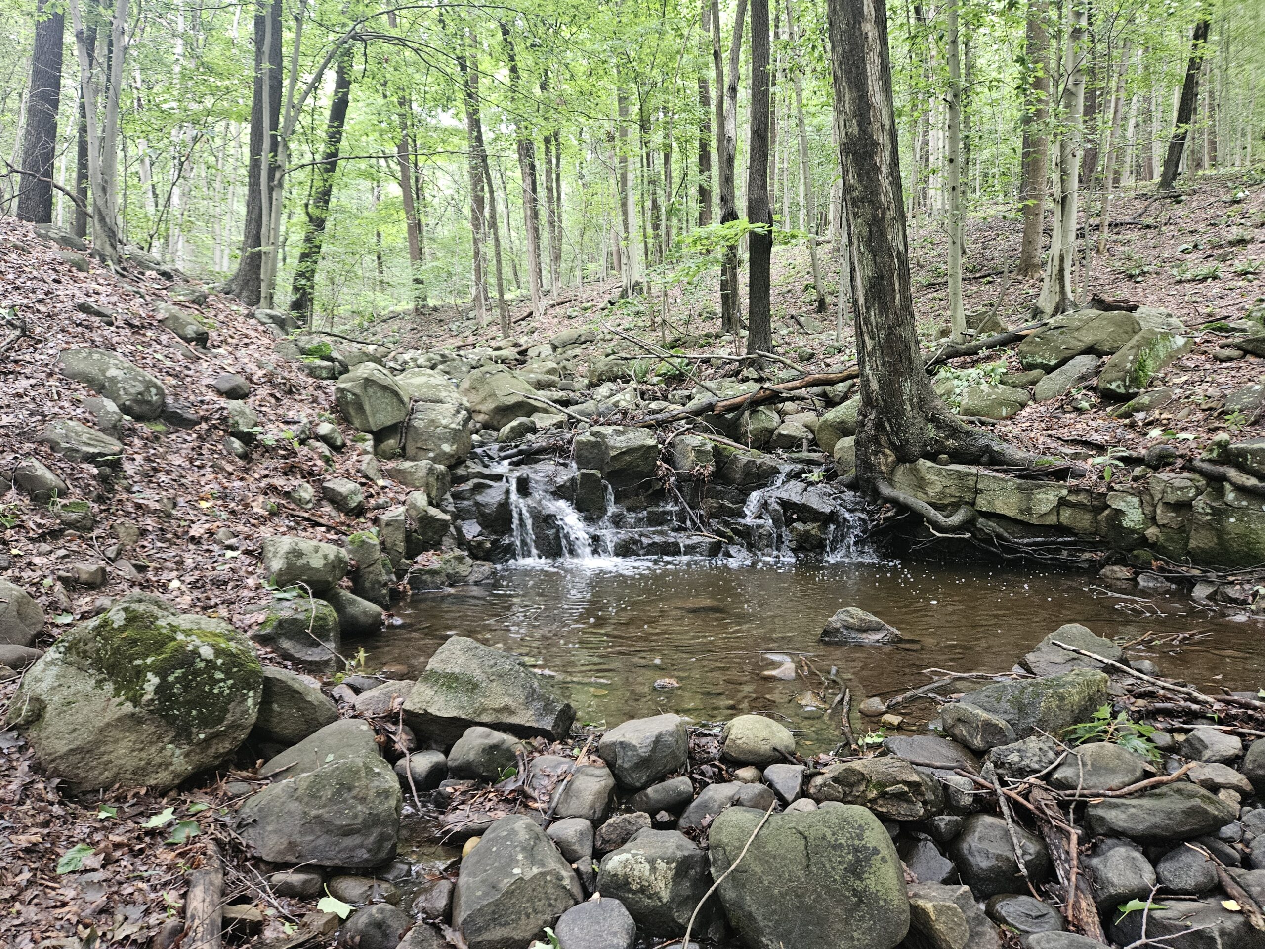
Stay left on the main trail as you head downhill passing a spur trail to the right. You will likely hear Buttermilk Falls from here.
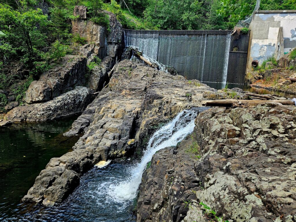
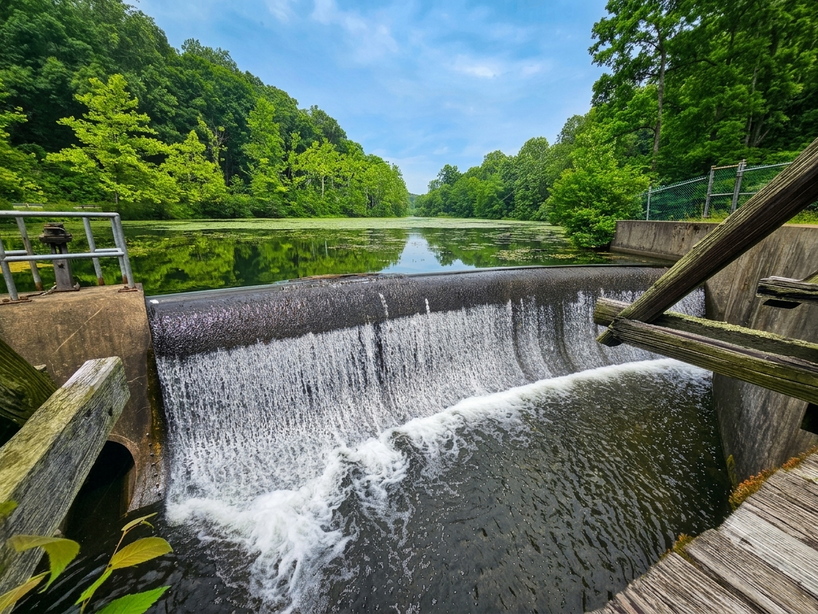
As you approach the falls, you’ll pass a few steep side trails leading to the water. Skip these. Instead, stay on the Yellow Trail until you reach the East Branch Reservoir dam, where a much gentler slope offers an easier descent to the water.
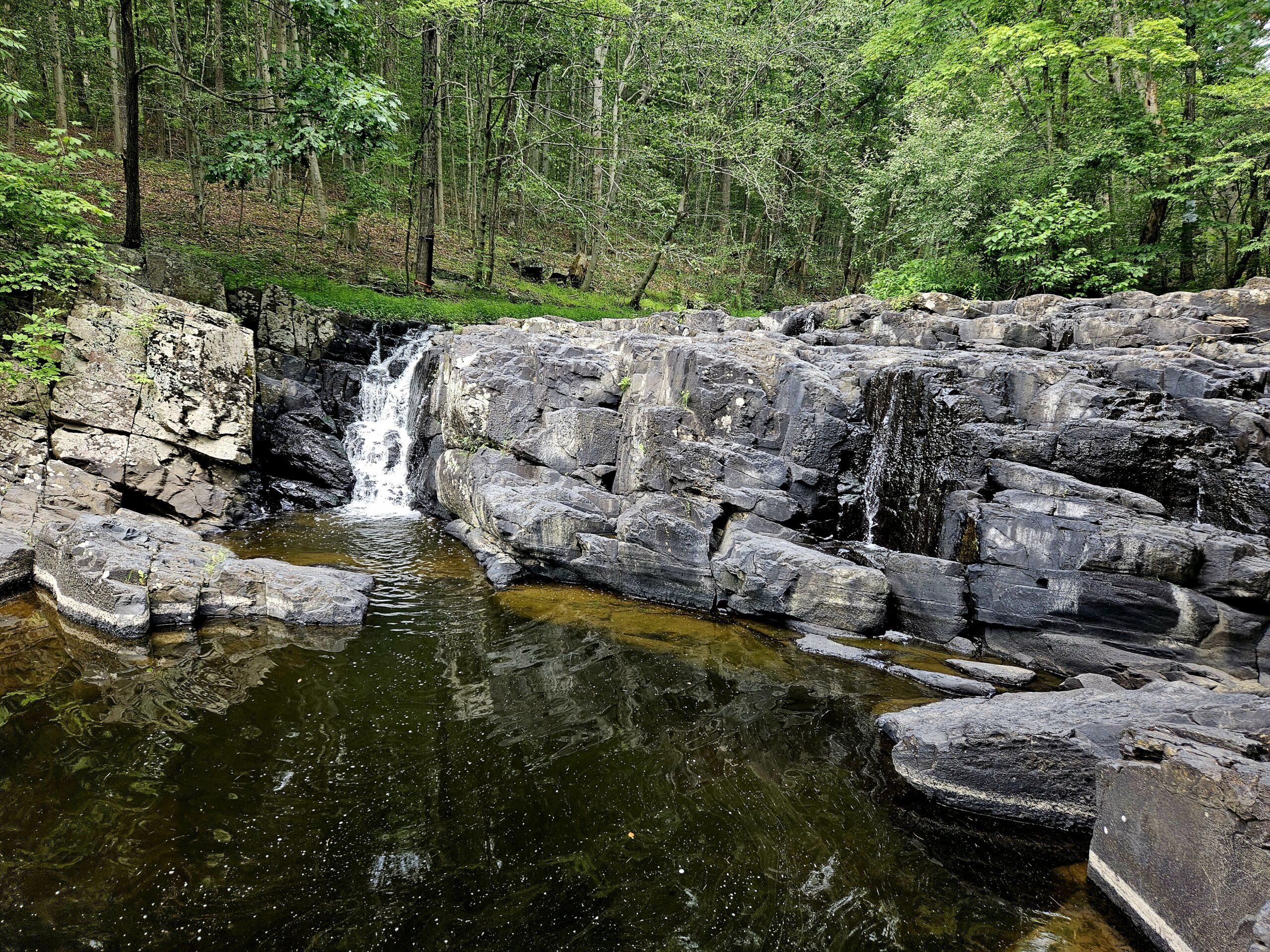
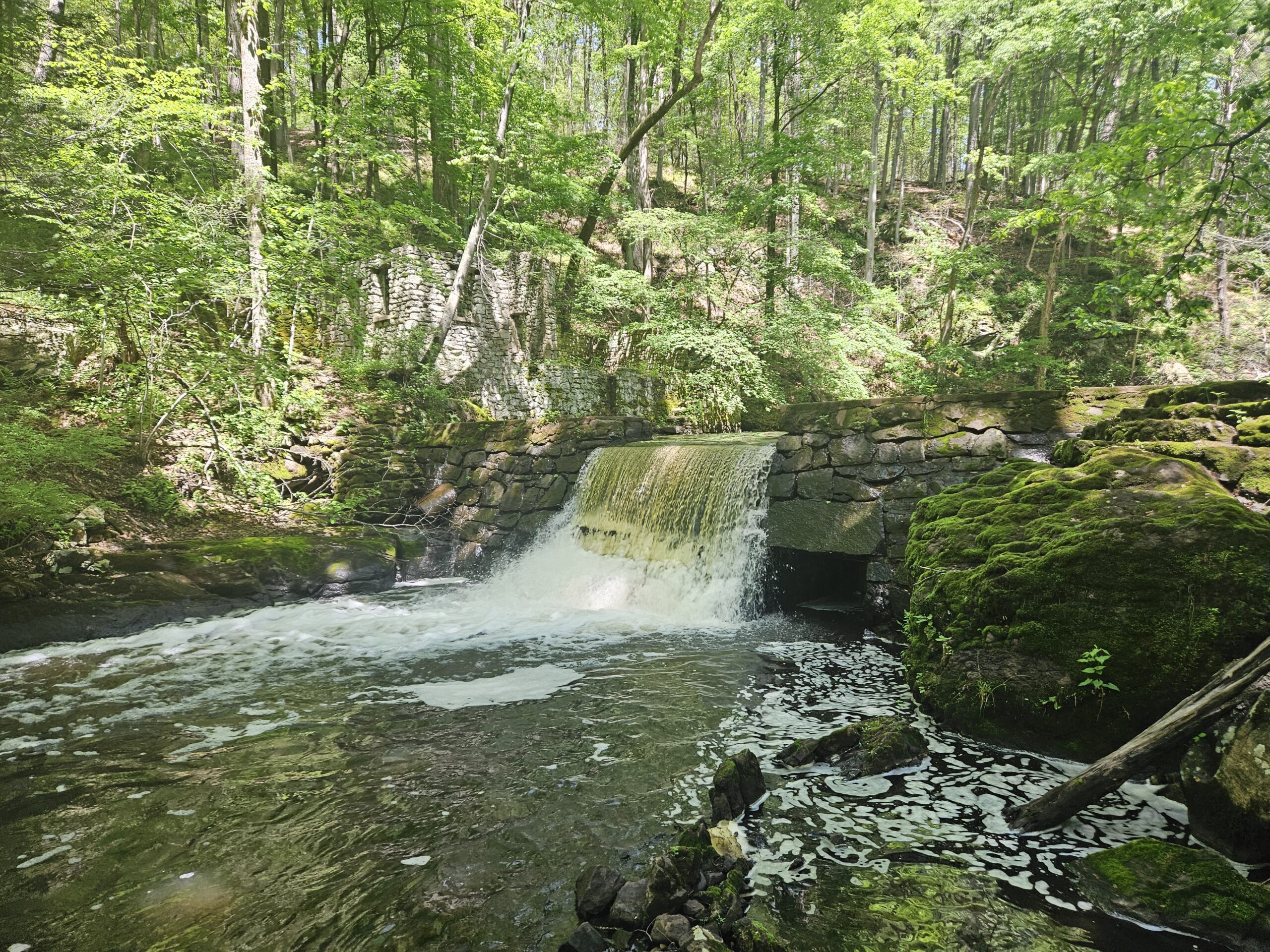
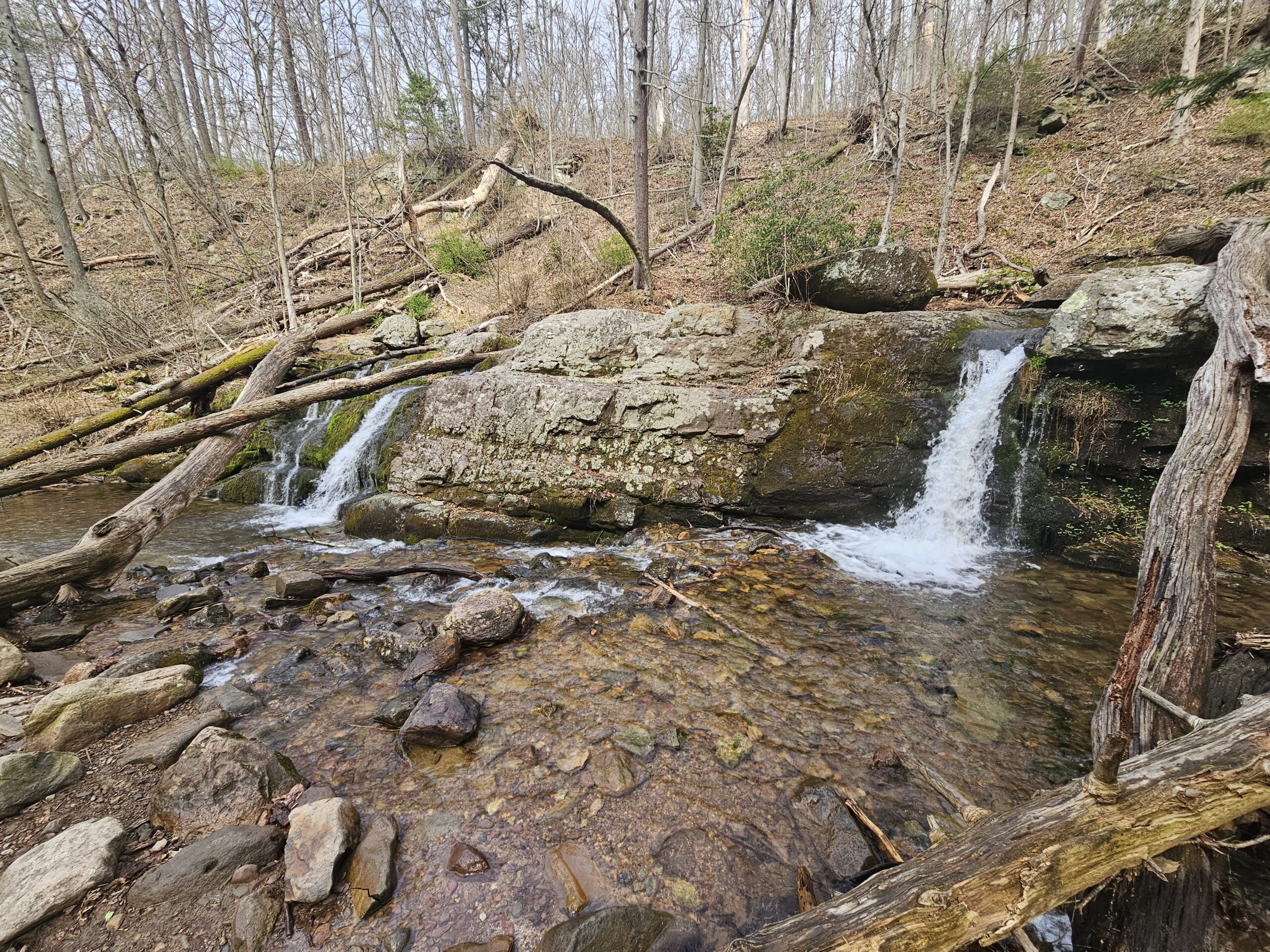
Once you reach the bottom, you’ll get your first view of 22.5-foot Buttermilk Falls. If you came from the dam as recommended, this initial angle isn’t particularly impressive because the dam itself overshadows it. Note that the dam is not part of the waterfall’s 22.5-foot measurement.
Continuing downstream gives you a much fuller view of Buttermilk Falls. For the best perspectives, you can either step out onto the large rock in the middle of Middle Brook or stay along the riverbed. Either option offers great views. From there, the trail continues downstream a little bit further, offering a few more angles of Buttermilk Falls.
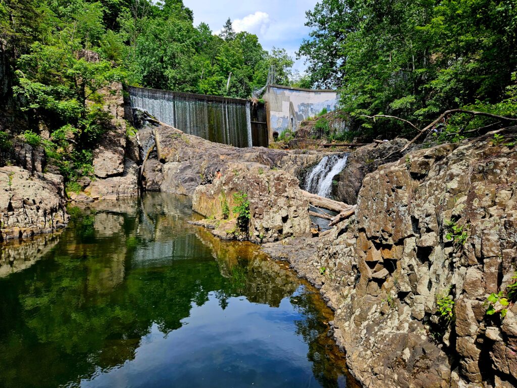
Once you have taken in the views, return to the Yellow Trail at the dam from the same way you came.
Alternate Views Across East Branch Reservoir
At the dam, follow the Yellow Trail about 50 feet to an old water crossing over the reservoir. If the water isn’t too high, you can cross here for additional views of Buttermilk Falls. Only attempt this if you are comfortable on unstable ground, as you will need to step across logs unless the water level is exceptionally low. If you do not feel comfortable with the water crossing, click here to skip this portion.
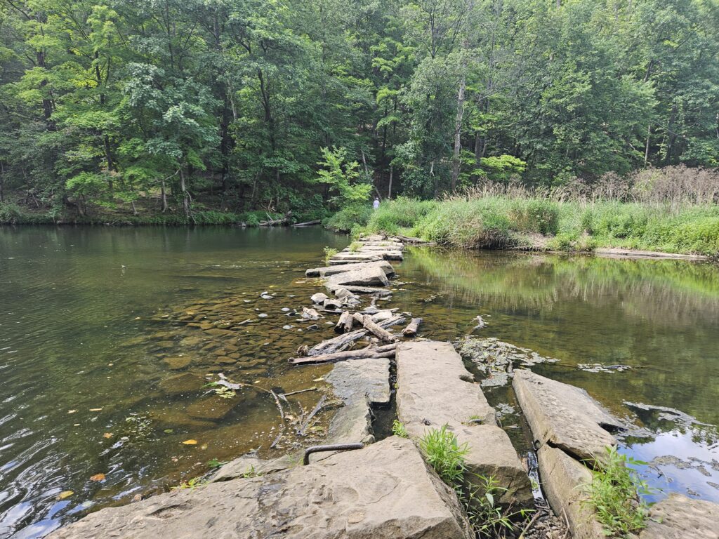
Across the dam you will reach the Orange Trail. Turn left onto the Orange Trail and begin climbing a short hill. Keep your eyes open for a short, unmarked trail to the left on the ascent. This trail is near when the trail curves about 90 degrees to the right.
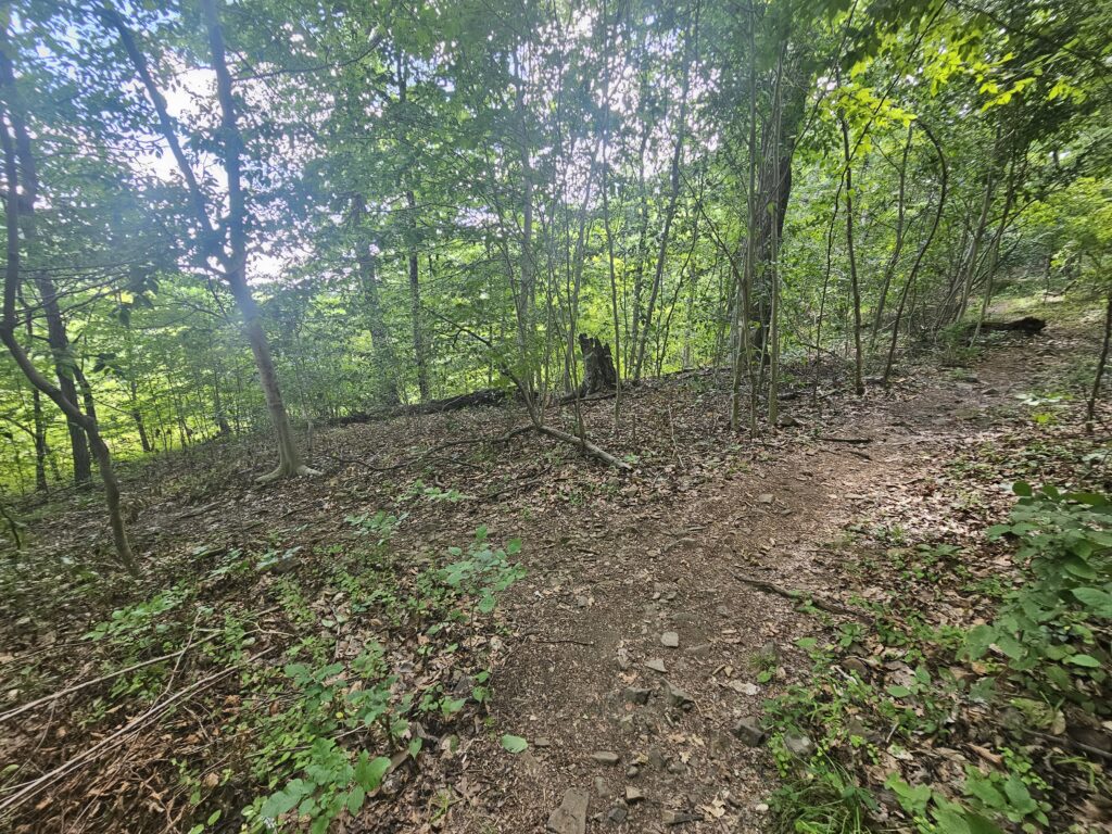
Follow this trail about 50 feet until you reach an alternate view of Buttermilk Falls from above and from the opposite side of Middle Brook.
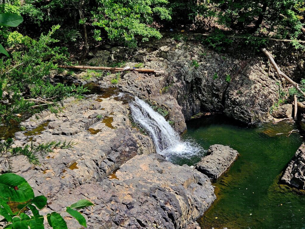
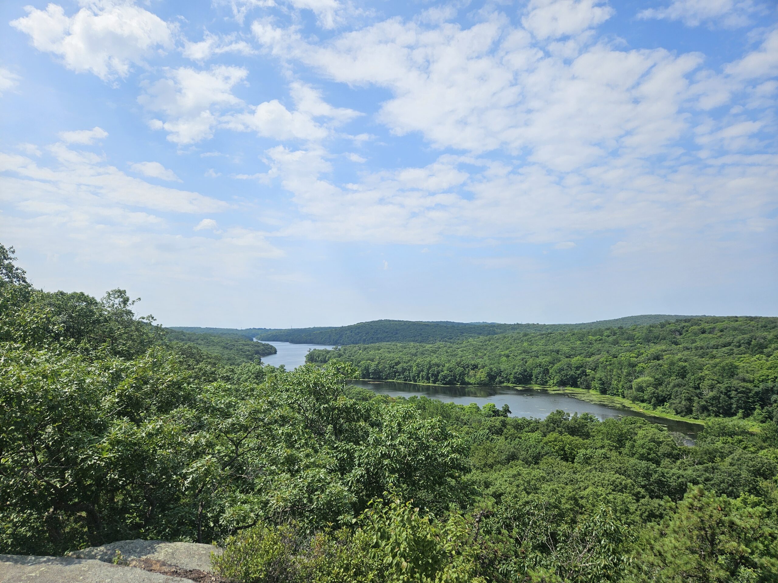
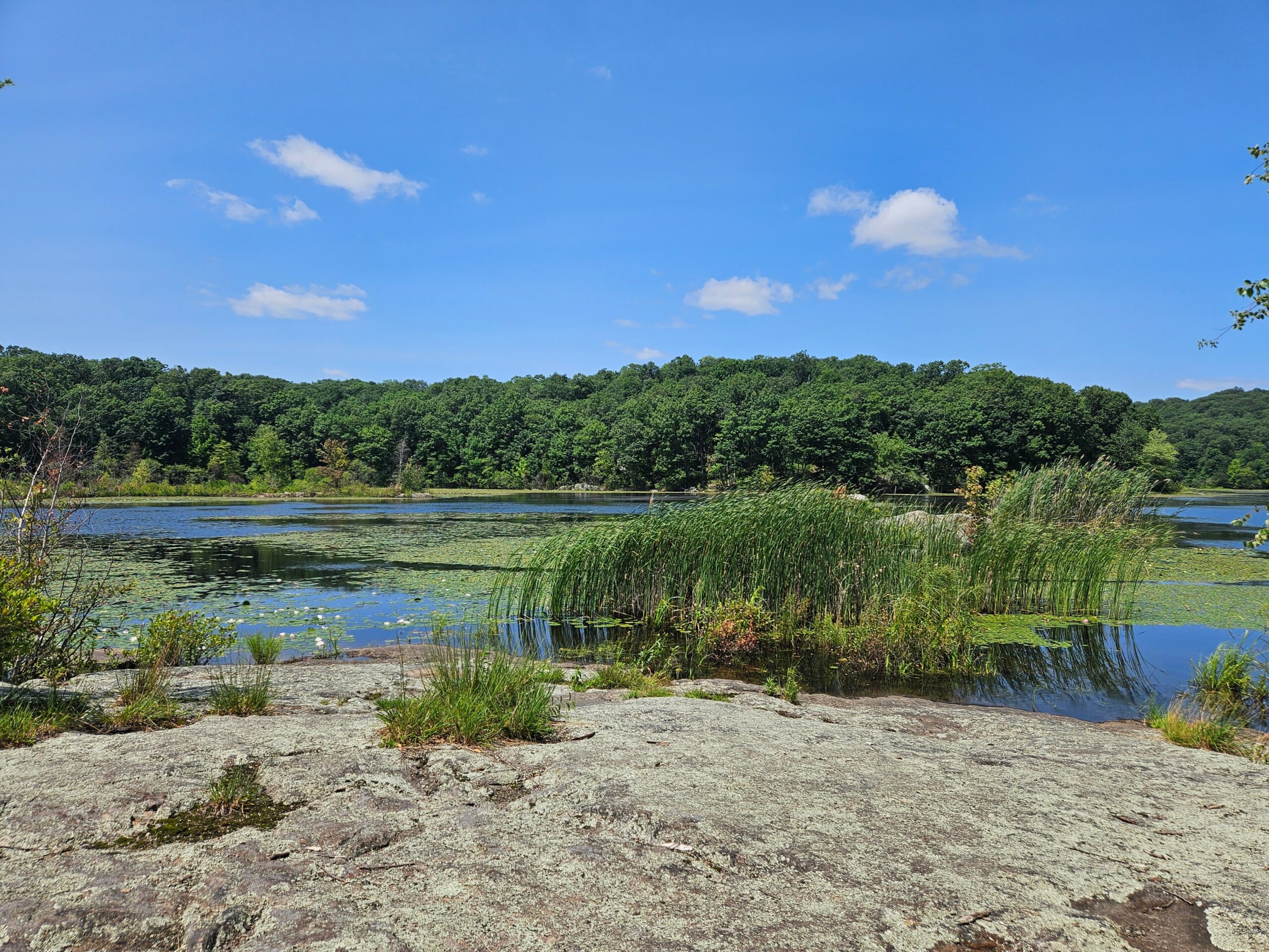
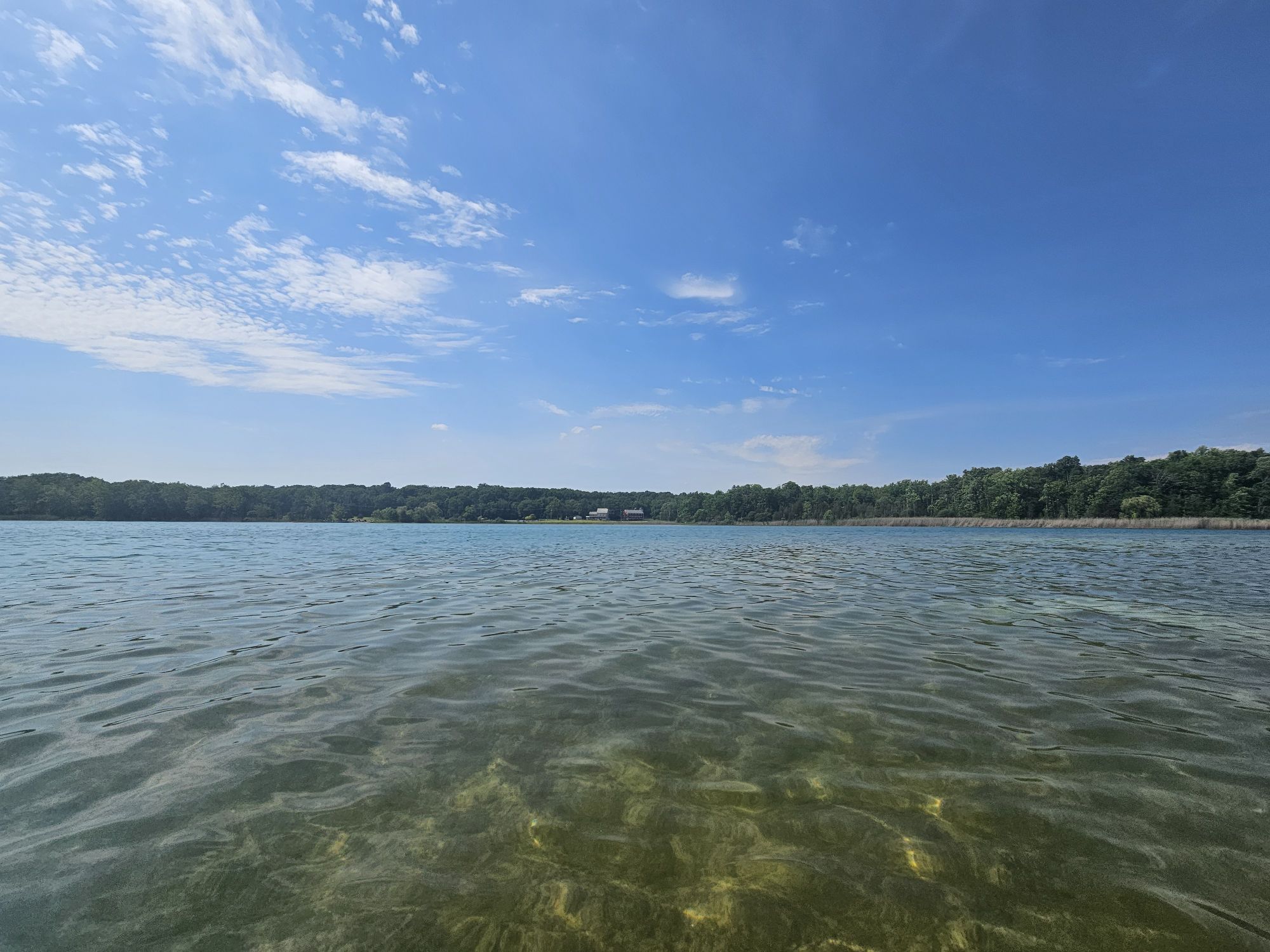
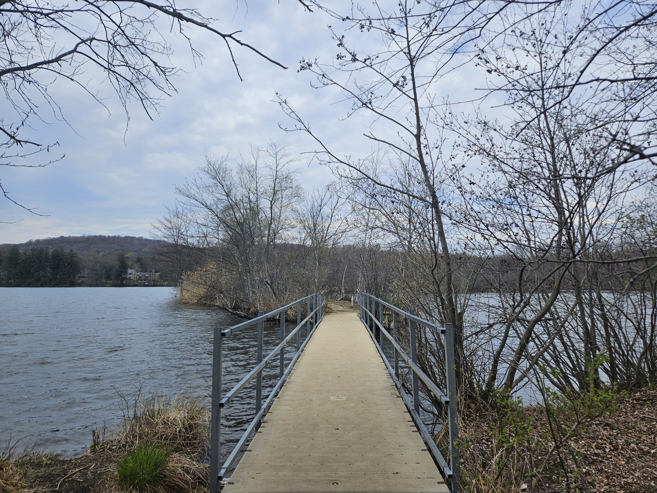
You are also offered a scenic view of the East Branch Reservoir.
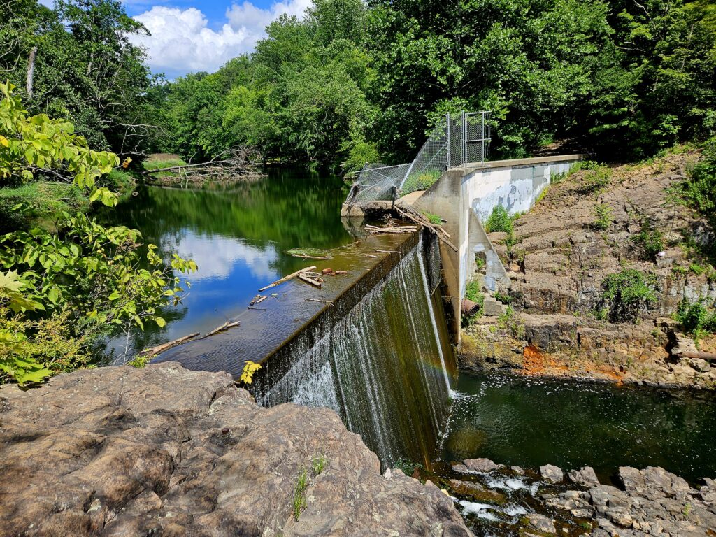
From here, return to the Yellow Trail the same way you came, by crossing the reservoir again.
The Rest of the Hike
Once back across the reservoir, turn left to continue on the Yellow Trail which heads away from Buttermilk Falls. The trail here is significantly rockier than the previous trails.
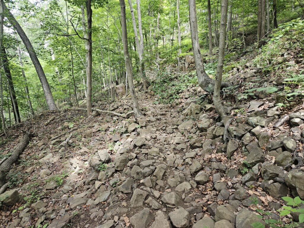
Follow the Yellow Trail for a quarter mile until you reach a fork where it splits in two directions. Unfortunately, all trails in this section of the park are variations of yellow and not distinctly different colors. Turn right at this fork. If you reach a road, you went the wrong way.
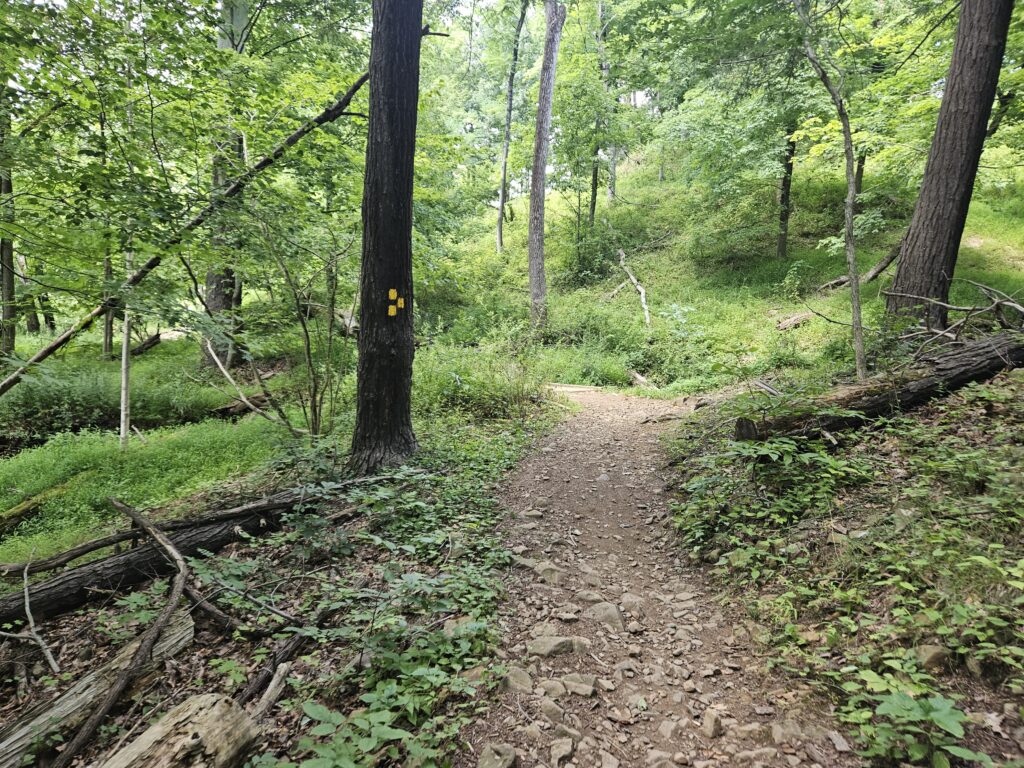
From here, the Yellow Trail climbs a series of switchbacks for the next quarter mile. These switchbacks are designed for easy access for mountain bikes, so it is very gentle for hikers.
After climbing the switchbacks, you will reach a confusing intersection, especially since the map does not show the colors accurately. At this intersection, you will see a Yellow and Orange Trail straight ahead and to the right, and a standard Yellow Trail to the left. Continue straight onto the Yellow and Orange Trail.
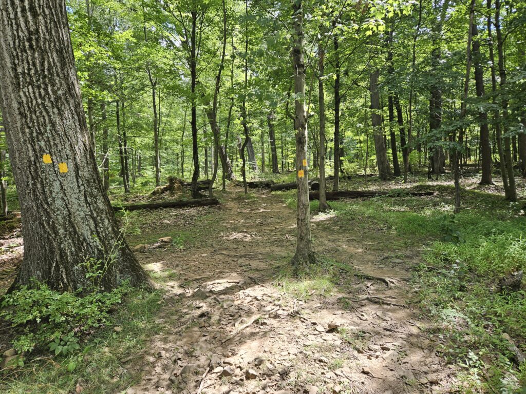
After another quarter mile, you will reach another intersection with multiple Yellow Trails. Continue straight here as well.
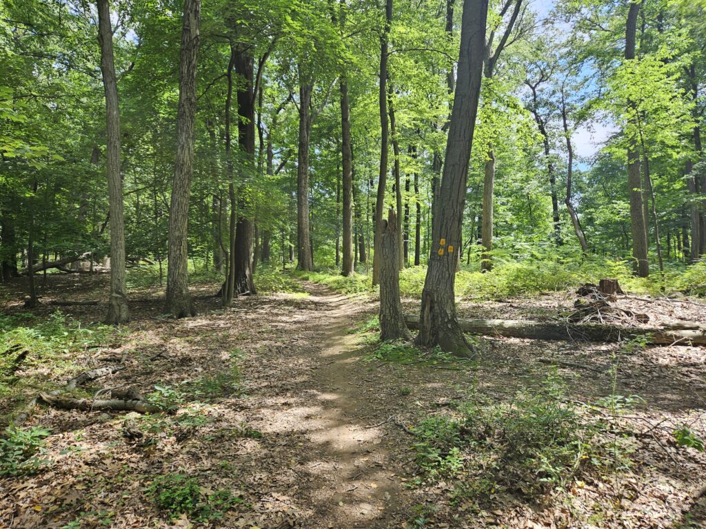
Just after this intersection, you will reach the parking area, completing the approximately 2-mile hike.
Review
Buttermilk Falls is a genuinely nice waterfall and a surprisingly rugged hike for its location. Compared with the other three Buttermilk Falls in the state (Walpack, Mendham, and Wayne), I consider this tied for the best, along with the one in Walpack. While the waterfall is nice, the hawk watch before the waterfall is terrible. While the view is wide and massive, the landscape itself is ugly. I also find the trail coloring system needlessly confusing, which I’m sure has led to lost hikers.

Leave a Reply