Description
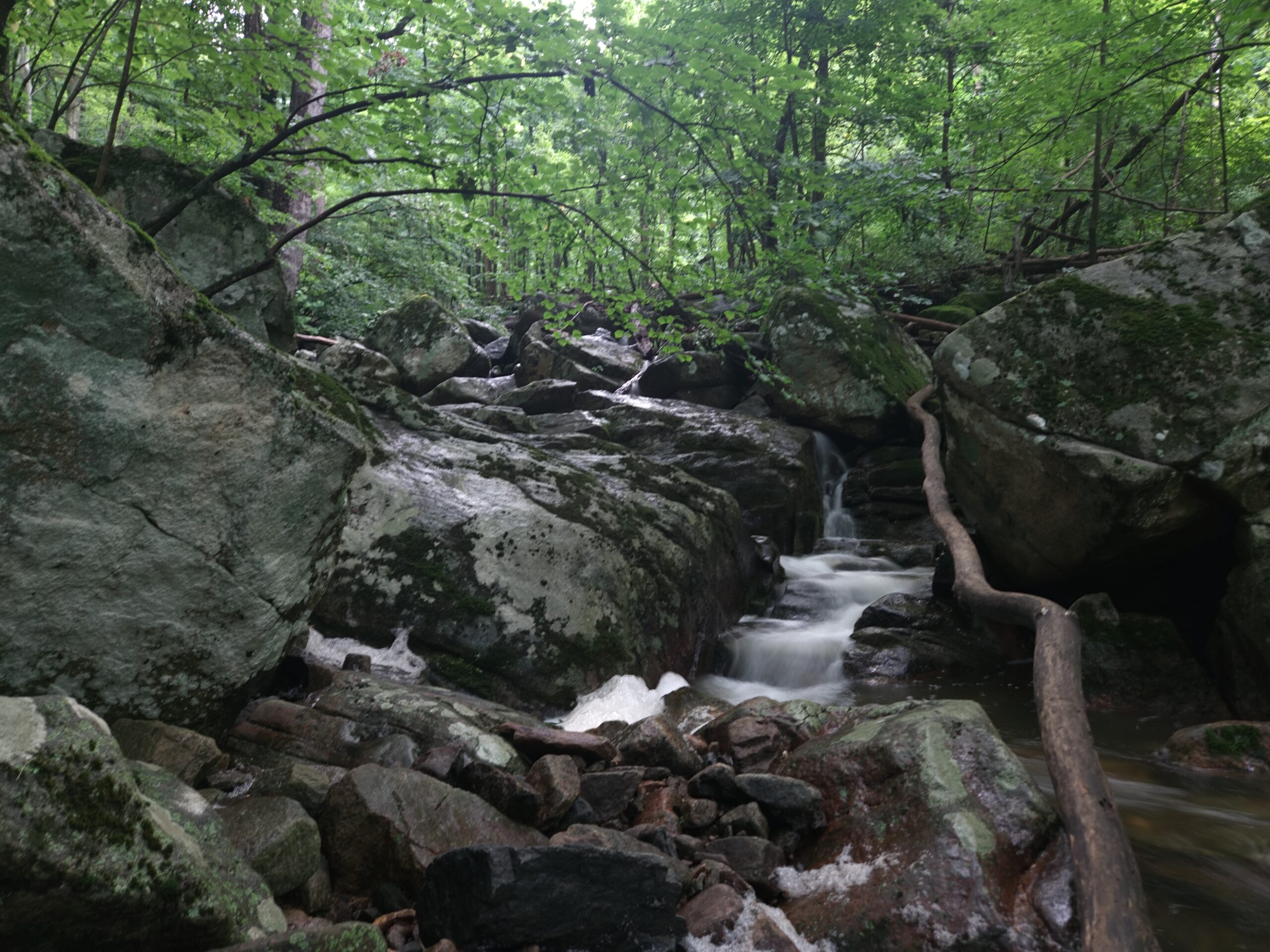
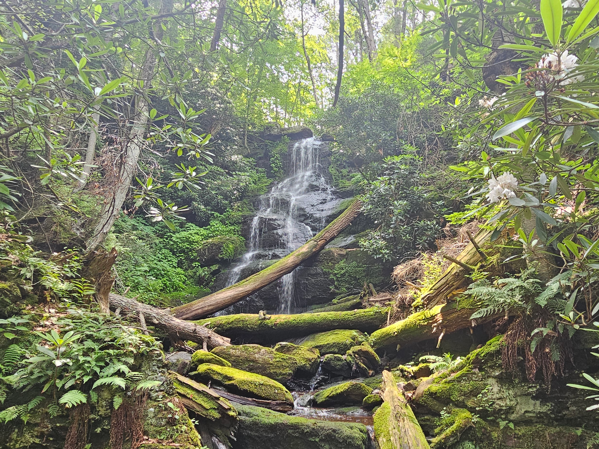
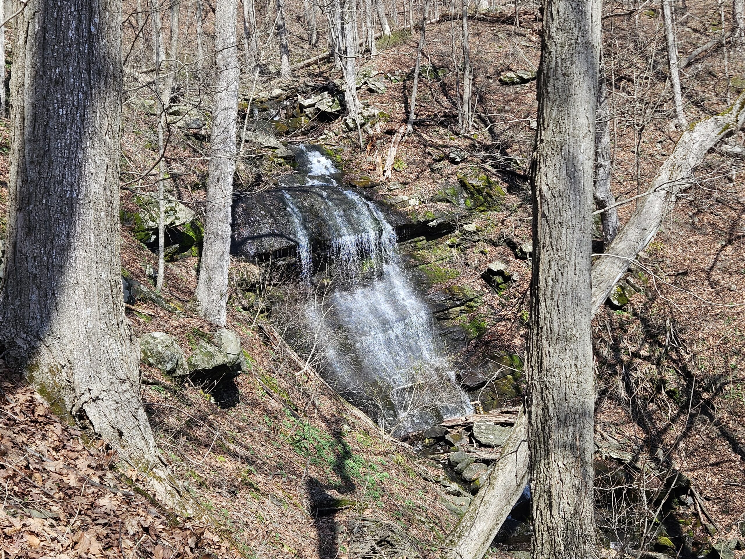
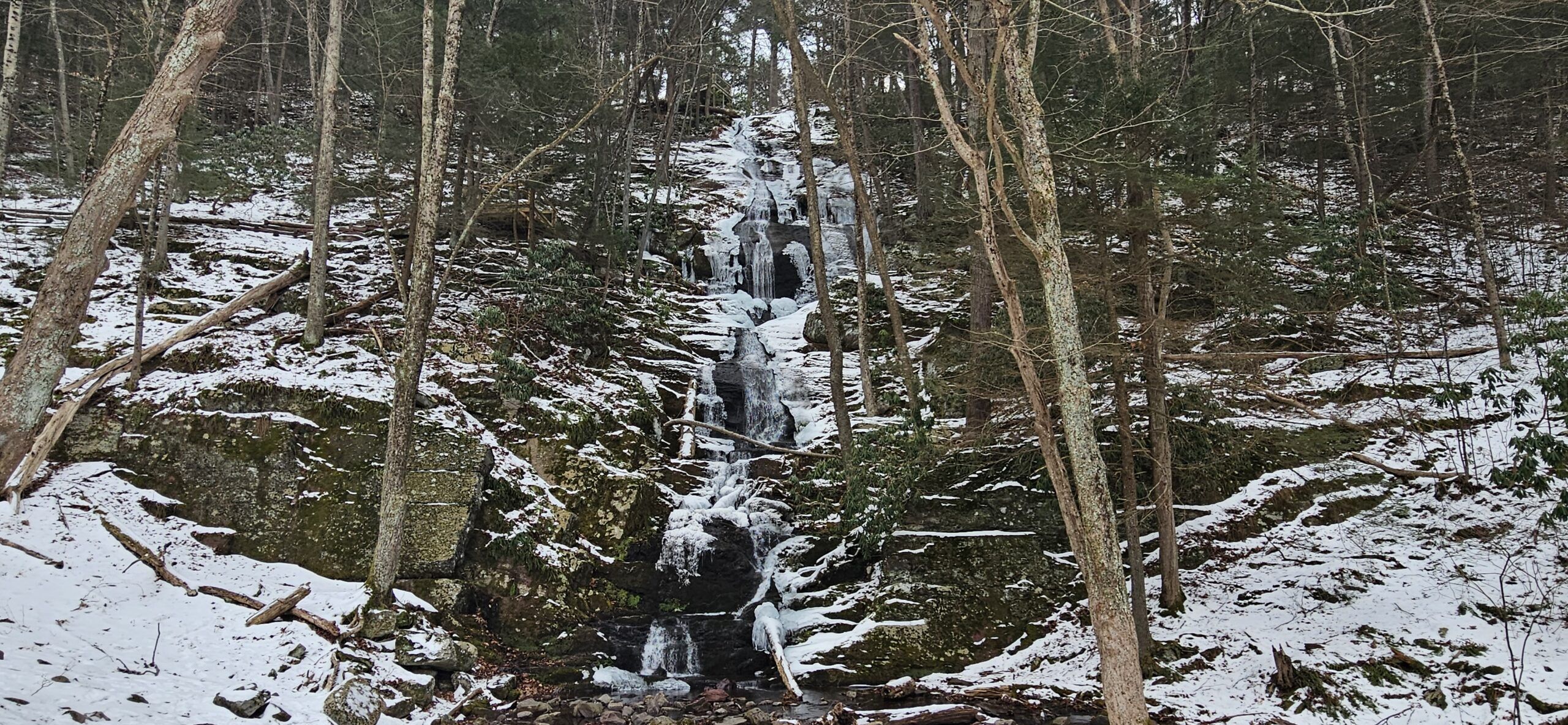
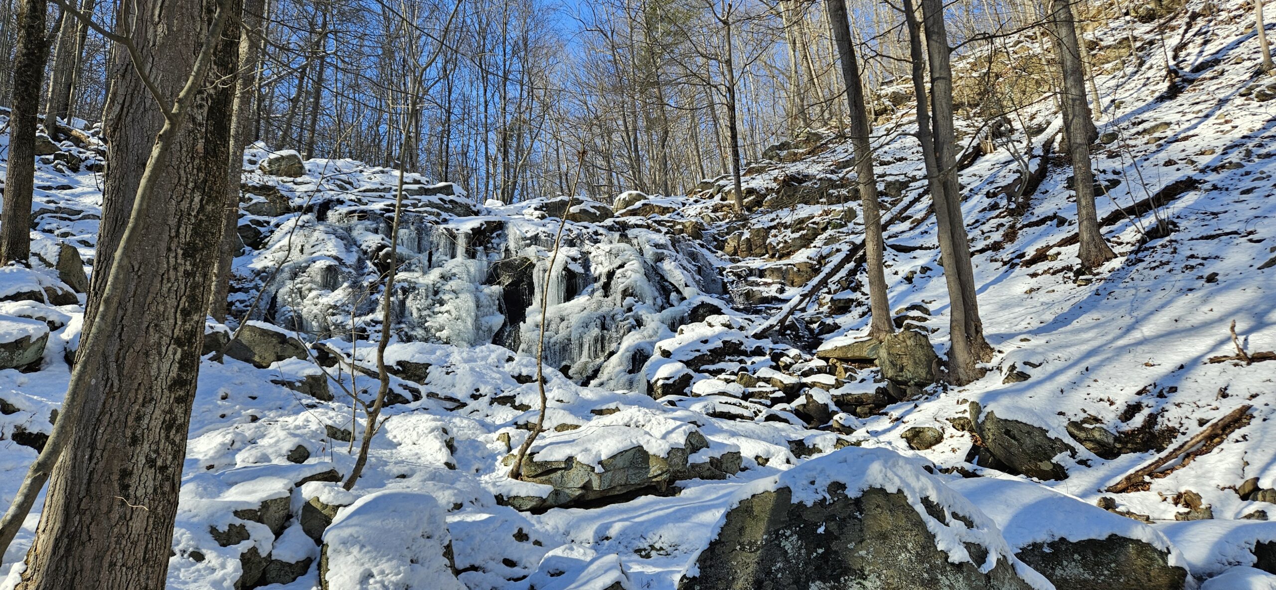
Musconetcong Gorge Falls is a large, multi-tiered waterfall. State geologists with the New Jersey Geological and Water Survey determine its official height at 60.2 feet. Don’t be fooled by this impressive height; the waterfall has a gradual descent, unlike many other waterfalls of similar height, so it’s misleading to think it’s about 60 feet.
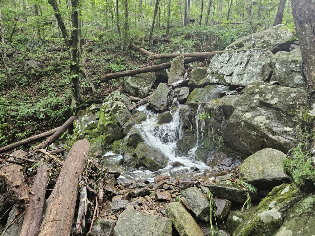
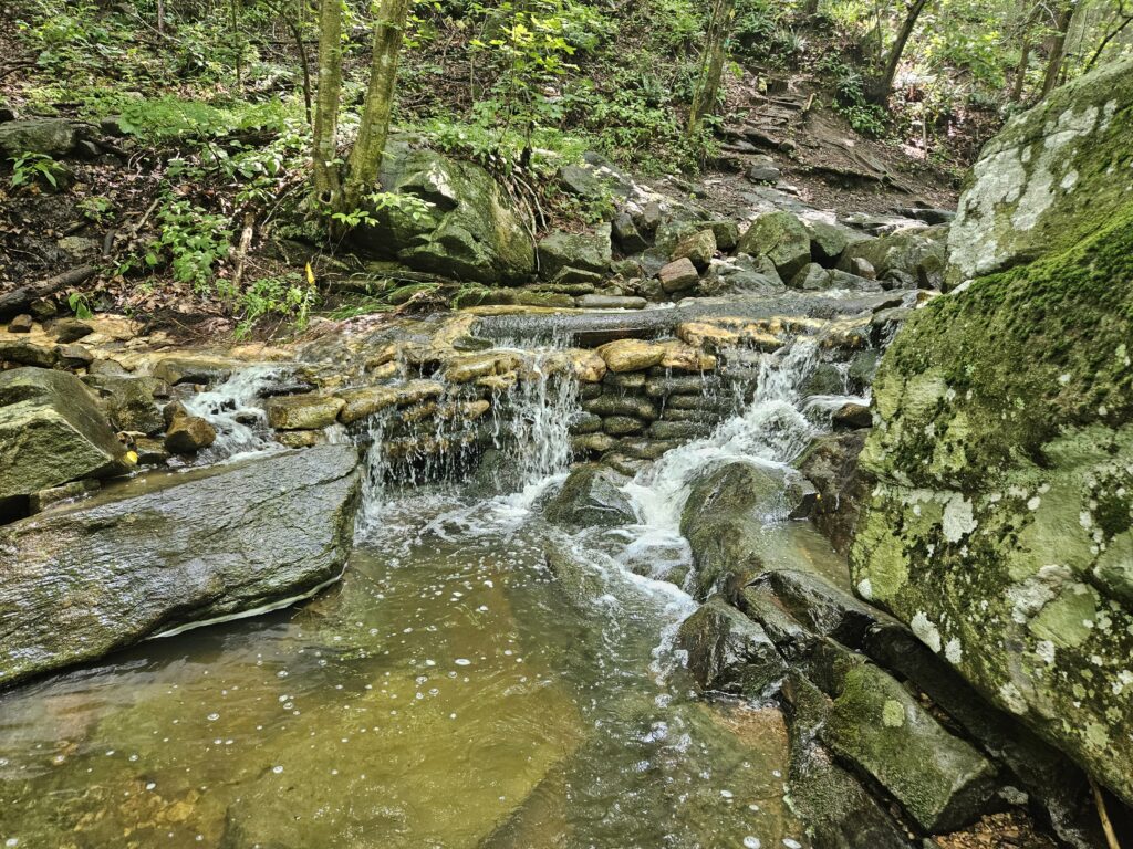
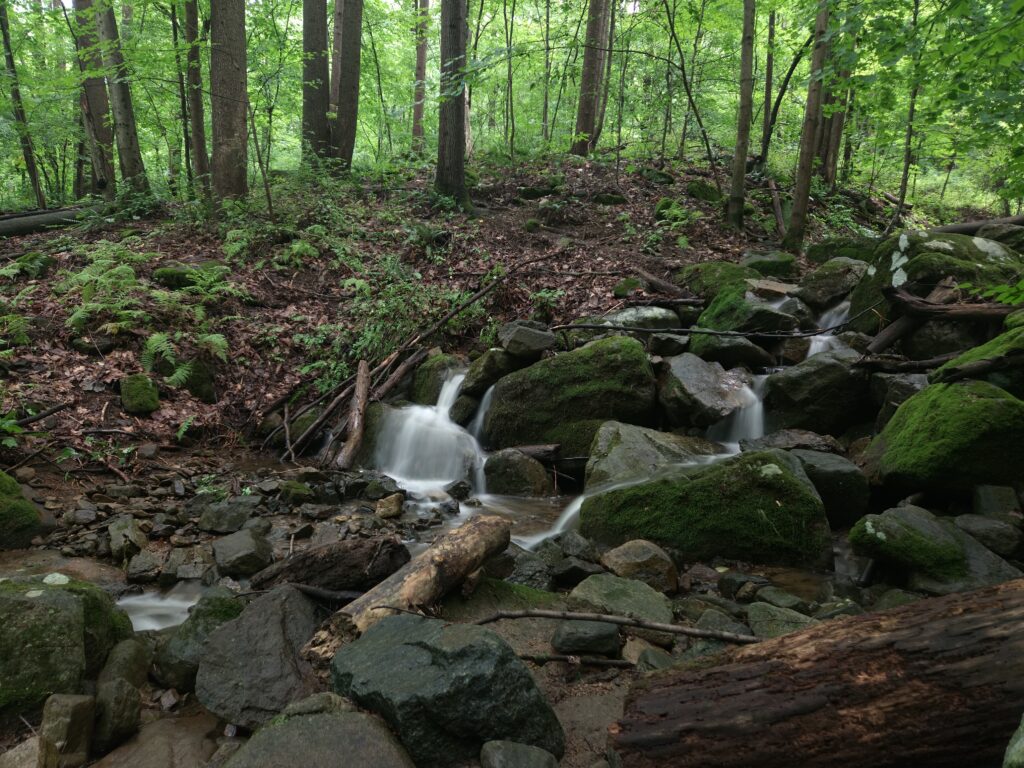
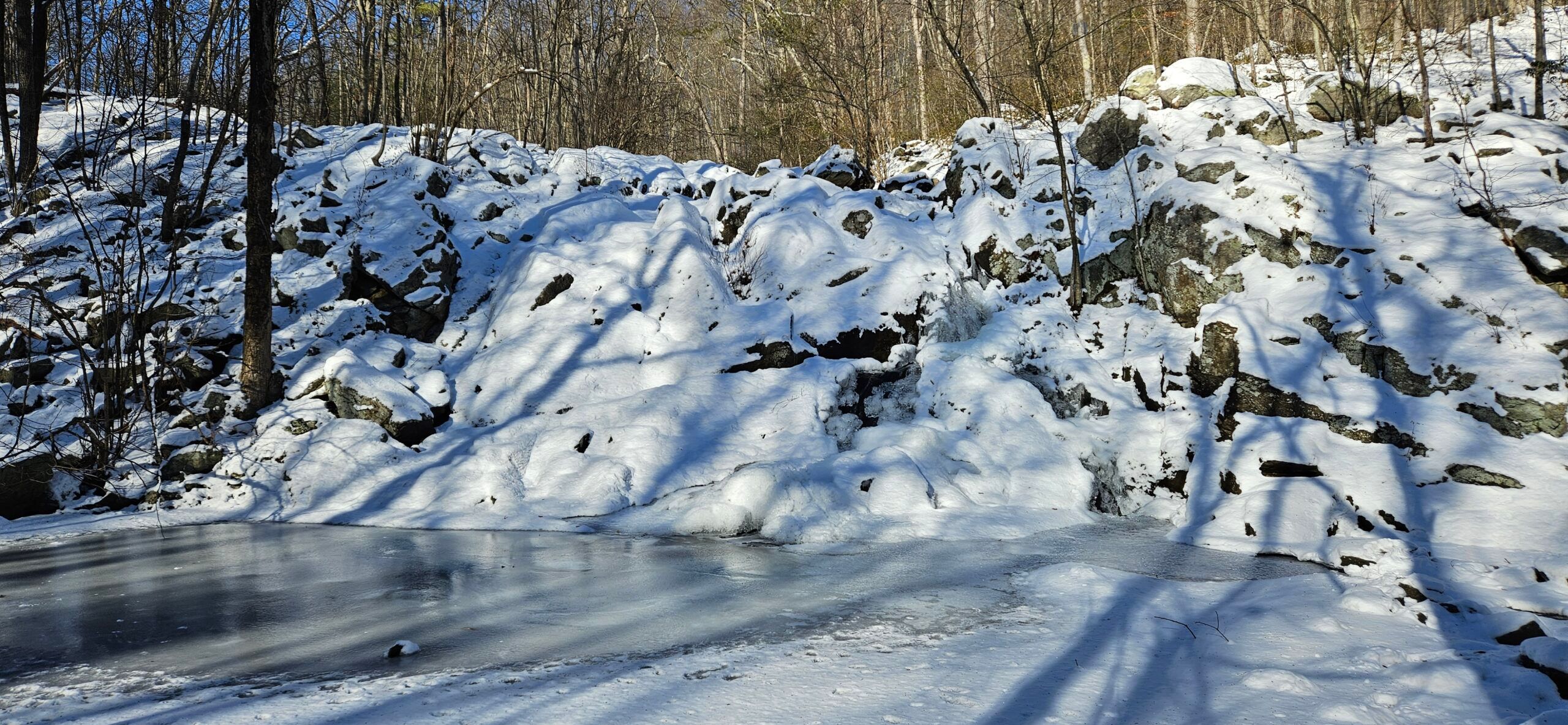
As the waterfall is fairly gentle, it is impossible to see all at once. Fortunately, hiking trails follow Scout Run, offering numerous views of smaller (and arguably more scenic cascades) below the man falls. The best views of these cascades are near the bottom, where Scout Run splits into multiple branches before recombining. All these branches feature small cascades.
The main waterfall is at the top of Scout Run. This is visible from the Blue Trail but is best viewed by going slightly off trail. From the top, there is an obvious side trail offering views of the steeper, main waterfall.
Parking
Parking is available on a switchback on Dennis Road, Bloomsbury, NJ 08804. Dennis Road is a steep, single-lane gravel road. The lower part of the road is occasionally washed out but is passable to most vehicles. If you are concerned about the washout, the road from the top is generally better, as it is not as steep. The parking area is small and can hold only about 8 cars.
Directions
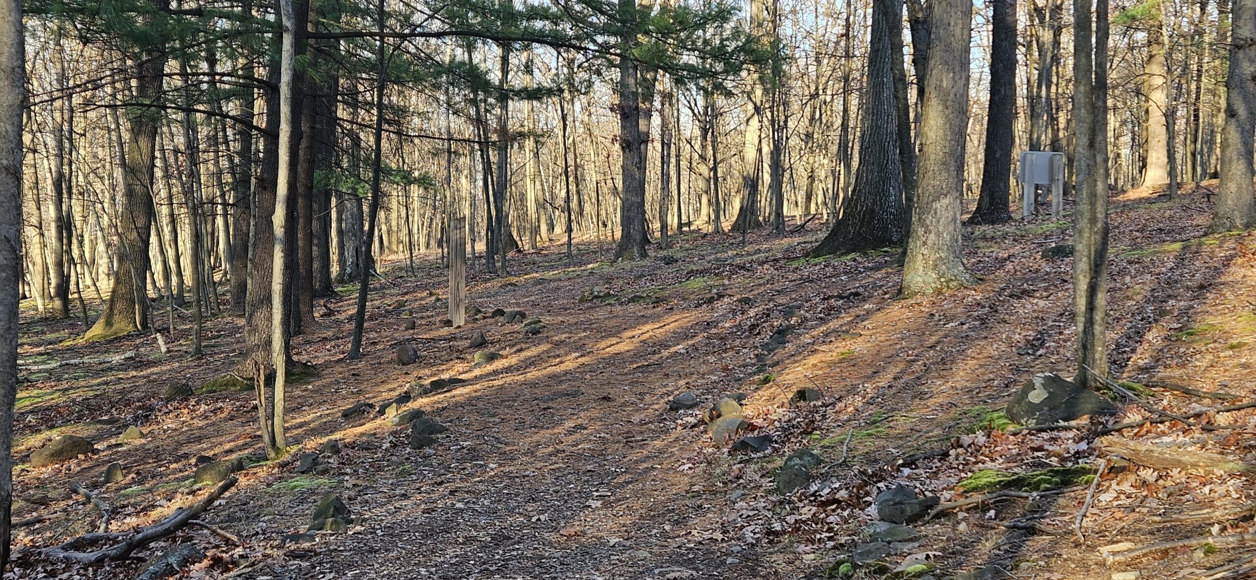
- From the parking area, take the Blue Trail, located past a large wooden map.
- Follow the trail a couple hundred feet until you reach the start of the Orange and Teal Trail straight ahead. Keep right to stay on the Blue Trail.
- Follow the Blue Trail another couple of hundred feet until you reach a split in the trail, with the Blue Trail going in two directions. It does not matter which you take, as they combine shortly. The trail to the right is slightly more direct, however.
- Once the trail remerges, continue for a quarter mile until you reach the lower cascades.
- Cross Scout Brook and continue on the trail until you reach an old woods road. Turn right and start the Orange Trail for more views.
- Eventually, the Orange Trail ends, returning to Blue. Keep climbing uphill for more views until you reach the top at another water crossing.
Musconetcong Gorge Falls Information
Click here for explanations on the information below
| Waterway | Scout Creek |
| Drainage Area (square miles) | 0.97 |
| Drainage Area Size | Small |
| Height (feet) | 60.2 |
| Latitude and Longitude | 40.628981 -75.128144 |
| Location | Holland Township, Hunterdon County |
| Type | Cascade, Multi-Step |
| Best Time to Visit | Spring |
| Property Type | Public-Musconetcong Gorge Preserve |
| Ease of Access | Easy – Moderate |
Posts Featuring Musconetcong Gorge Falls
No results found. Stay tuned
Gallery



Leave a Reply