
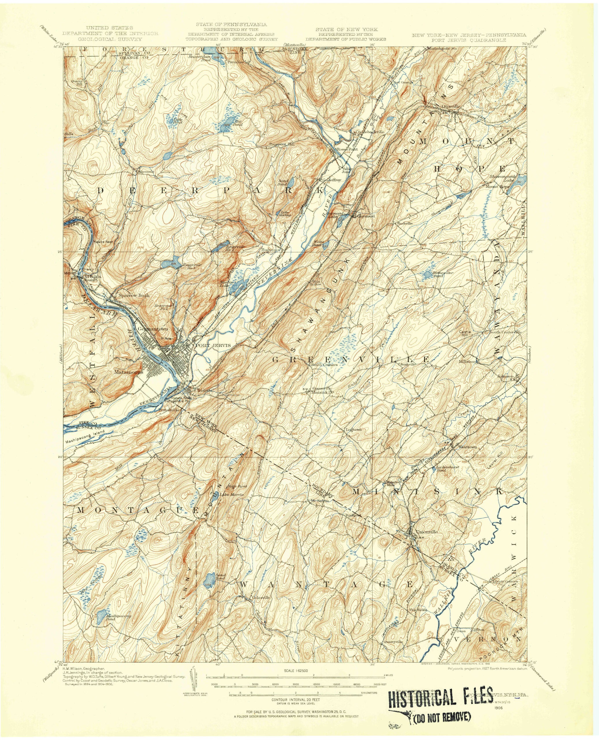
High Point State Park, located at the northern tip of New Jersey, is best known for featuring the highest point in the state, marked by a 220-foot obelisk at an elevation of 1,803 feet above sea level. What many people don’t know is that there is actually a series of substantial waterfalls hidden within the park.
It’s easy to see why these falls aren’t well known: while they aren’t impossible to find, they do require taking unmarked trails, and the largest of the cascades requires a challenging downhill scramble just to catch a glimpse. This effort is well worth it, however, as hikers are rewarded with complete solitude and three impressive waterfalls. Continue reading to learn how to get to these secret waterfalls in High Point State Park.
High Point State Park
Parking: Appalachian Trail Parking, NJ-23, Wantage, NJ 07461 (41.303389, -74.666722)
Price: Free*
Other Attractions: High Point Monument, Lake Marcia
*Everything south of Route 23 (where this hike is) does not require an admission fee. Everything north of Route 23 requires an admission fee from Memorial Day to Labor Day.
Hike Information
Distance: 4.7 miles
Ascent: ~300 feet (Add about 100-200 feet if descending to the lower waterfall depending on how far you go)
Difficulty: Easy (Difficult if trekking to the lower waterfall)
The Hike
The hike is overall easy, comprising of obvious woods roads and double-track trails, with only a few small rolling hills. Although half the hike is on unmarked trails and woods roads, these trails are very obvious and easy to follow. The exception to the above is getting to the lower waterfall. Reaching this waterfall is completely off-trail down a steep hillside. I only recommend attempting this for experienced hikers. Unfortunately, this is also the most impressive waterfall on the hike.
This is a loop hike that begins and ends at the Appalachian Trail parking lot on Route 23. I recommend doing this hike clockwise for two reasons: First, the first part of the hike is on unmarked trails, and while these trails are very easy to follow, it is easier to follow going in this direction. Second, there is a very short section of the trail that passes by an unwelcoming park neighbor. While the trail is entirely on state park land, some people may be uncomfortable hiking through this section. If that is the case, hikers can turn around after the waterfalls and return to the car in the same way they came. This is not possible if going counterclockwise.
Beginning the Hike
As mentioned above, the first part of the hike is on an unmarked trail. Fortunately, this is a very easy-to-follow mowed path. To find the trail, locate a gate next to the maintenance building adjacent to the Appalachian Trail parking lot.

Follow this trail around the building to where you reach a fork. Turn left at the fork onto a similarly obvious mowed path.

After about 0.4 miles, you will reach a T-intersection with an unmarked woods road. Straight ahead, you will find what appears to be the remains of a quarry. Unfortunately, I have been unable to find any information on what this area was once used for.

Turn right onto this road and follow it for about a mile until you reach Lake Rutherford.
Lake Rutherford and the Waterfalls
You will soon reach Lake Rutherford, the drinking water source for Sussex Borough. Before being dammed and expanding into the current Lake Rutherford, the water body was known as Sand Pond. The water here is impressively clear, which makes sense as this is the source of Sussex Borough’s drinking water. As tempting as the clarity might be, since this is drinking water, the lake is restricted and you cannot enter.


The trail continues around the lake before soon reaching the lake’s dam. Cross the dam, which offers some more impressive lake views.
On the other side of the dam, you will find a small trail leading downstream of the outflow. Rutherford Falls is located on the dam outflow of Lake Rutherford. Although the lake is partially man-made, the waterfalls are natural, as the dam outflow follows the same historical path as the pond outflow.

A short distance ahead, this unmarked trail splits. Continuing straight will take you to the top of Upper Rutherford Falls. However, the view from this point is not good. Instead, I recommend taking the trail to the right.
Upper Rutherford Falls
Height: 15 feet
Waterfall Coordinates: 41.28379, -74.66544
The trail winds around a small rock ledge before Upper Rutherford Falls come into view. Unlike the lower waterfalls, you can get a good view of the upper cascade. This waterfall is also fairly easy to reach the bottom of, though this requires going off the unmarked trail.

The New Jersey Geological and Water Survey classifies this waterfall as 15 feet. I’d argue this waterfall is half that height. It is still a scenic waterfall, but likely closer to 7 or 8 feet tall. There are a few cascades below the main drop that may be counted toward that 15-foot number.
Middle Rutherford Falls
Height: 15 feet
Waterfall Coordinates: 41.283750, -74.664540
From Upper Rutherford Falls, return to the unmarked trail and follow it a short distance until it ends on a rock ledge overlooking Middle Rutherford Falls. The view here is decent, but it is hard to take in because you are about 20-30 feet above the waterfall, which is nearly directly below you. It is possible to get a better view of the waterfall from below, but from this point onward, the terrain becomes much steeper, and there is no trail. I found the easiest way to descend (and later ascend) is to go outwards, away from the creek, and then come back, which negates the steep slope to some extent.
If you choose to descend, you are greeted with a good view of the two-tiered waterfall, the first tier a short slide before dropping over a ledge. Unique among most New Jersey waterfalls, it is possible to crouch down and go behind this waterfall, though, unlike Bridal Veil Falls, you cannot to do so and stay dry.

Lower Rutherford Falls
Height: 35 feet
Waterfall Coordinates: 41.28331, -74.66380
The third and final waterfall is Lower Rutherford Falls. This is easily the tallest and most impressive waterfall of the group. Lower Rutherford Falls drops 35 feet down a near-vertical slide. As with the previous two waterfalls, this one is very difficult to get close to. Fortunately, you can see it easily from a distance on the side.

If you want a more head-on view, you can descend further, but be aware that the terrain gets steeper the closer you get to the water.

From this point, the lake outlet drops approximately another 100 feet before reaching the base of Kittatinny Mountain. Looking at topographic maps, there do not appear to be any additional waterfalls beyond this point. Any subsequent cascades appear to be a more gradual descent.
From here, carefully return to the man trail at the dam.
The Return Hike
From the dam, you have 2 options: return the way you came, or continue on the woods road to create a loop hike. As mentioned at the beginning, this does require you to go through a section bordering private property with some unwelcoming signs.
For those choosing to complete the loop, continue ahead on the woods road. The road here, unfortunately, stays just a bit too far from Lake Rutherford to provide any views, but numerous unmarked trails access it for those interested.
In about a half mile, you will reach numerous “No Trespassing” signs as the trail skirts private property and gets fairly close to a house. Though it appears that there is a bypass on another woods road, this road actually dead-ends at Lake Rutherford. According to numerous property maps, the trail is entirely on state park land. Nevertheless, it is a good idea to pass through this area quickly.


Once through the area bordering private property, you will reach the red-blazed Iris Trail. Turn right onto this trail and follow it for just over two miles. This trail is easy, but otherwise uneventful. Despite appearing to pass Lake Rutherford on the map, the trail does not actually go to the lake itself, but you can see it through the trees.

Once you begin to hear road noises, keep your eyes open for the blue-blazed Appalachian Trail Connector to the right (note: you never actually step foot on the Appalachian Trail on this hike). This trail is very lightly blazed, but is obvious.

Take this short trail back to the parking lot, ending your nearly 5-mile hike.
GPS Route
Attached is the route as described above for reference. Additionally users can download the route to use on their preferred GPS. How to use the GPS routes on your phone.
Review
These waterfalls are a real hidden gem, perfect for hikers seeking a secluded, off-the-beaten-path experience. While the middle and lower falls are arguably the most difficult to reach in the state, the lower drop is well worth the trek for those willing to brave it.
Unfortunately, the trail itself is somewhat lackluster. Aside from the falls, the only other notable feature is Lake Rutherford just upstream, creating a brief, high-density stretch of scenery stuck between lackluster sections. While the waterfalls are great, I would recommend this hike only to those comfortable navigating steep terrain and off-trail sections, as the non-waterfall sections are not very interesting even for those wanting a secluded hike.
A much easier (and often quiet) waterfall hike nearby is Stony Brook and Stepping Stone Falls at Stokes State Forest.


Leave a Reply