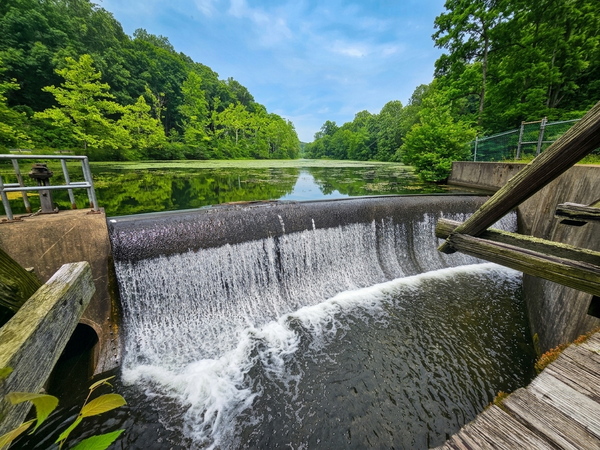
Tucked away at the far southwestern end of Swartswood Lake lies the Gristmill Trail, a short 1.1-mile route at the lake’s southwestern edge. While most of the park’s routes are located near the main day-use area and the Swartswood Natural Area, the Gristmill Trail stands alone. For years, this secluded loop has intrigued me. In July 2026, I finally decided to check it out for myself.
When I first launched Explore North Jersey, I did so to highlight the best outdoor activities across northern New Jersey from the perspective of someone who actually visits the sites, and to explore lesser-known destinations that lack online information.
Overall, exploring virtually unknown public destinations has led to some pleasant surprises like Rutherford Falls. Unfortunately, the Gristmill Trail was not one of these surprises. That isn’t to say it’s a bad hike, but it is a disappointment. While many websites might choose to skip writing about lackluster trails altogether, I still believe it is important to share disappointing hikes for others who may be interested in hiking at the location in question.
Continue reading below to learn about the Gristmill Trail and why I consider it disappointing.
Swartswood State Park
Parking: 932 Co Rd 521, Newton, NJ 07860
Price: Free; however, other areas of the park do charge parking fees
Other Attractions: Swartswood Lake
Hike Information
Distance: 1.1 miles
Ascent: ~100 feet
Difficulty: Easy
Background
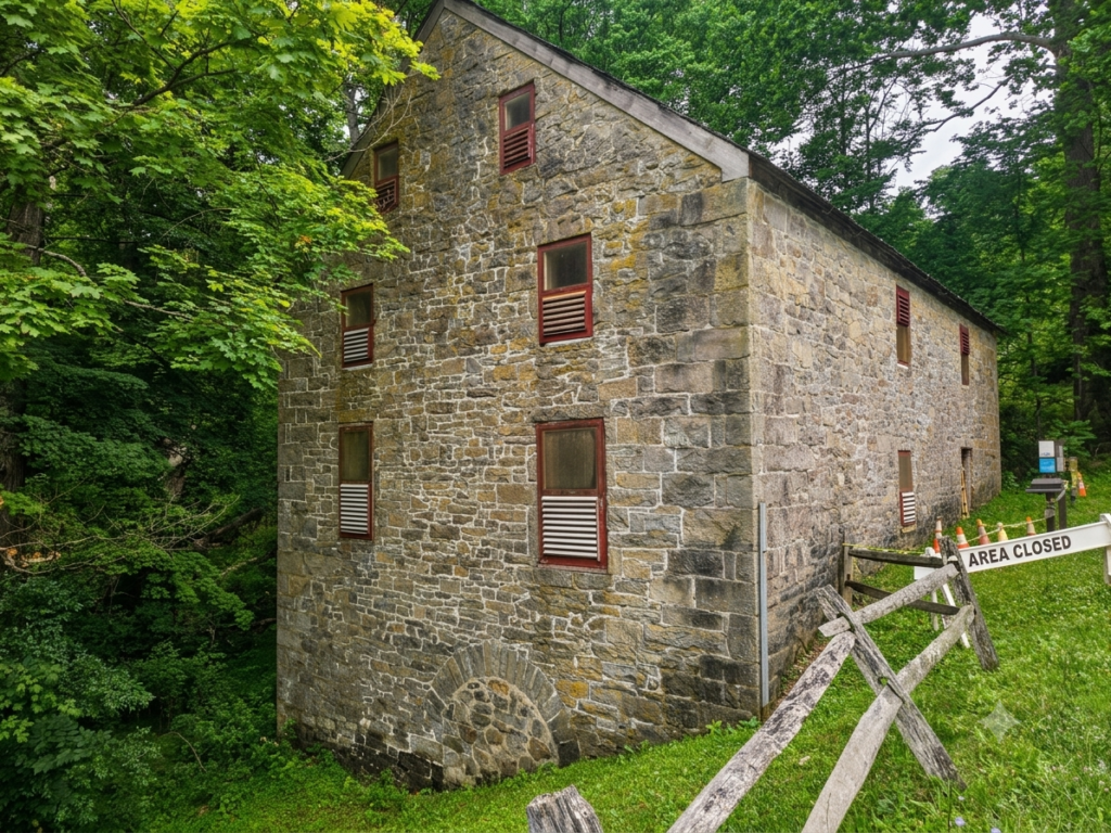
The hike is at the outlet of Swartswood Lake, next to Keen’s Mill, a historic gristmill. The current mill was built in 1838, though the site historically housed a mill prior to the Revolutionary War.
The Hike
The Gristmill Trail is relatively easy, covering 1.1 miles and featuring an ascent of just under 200 feet. While the trail is well marked and easy to follow, some sections are overgrown with encroaching pricker bushes, so you may want to wear pants.
Parking
The Gristmill Trail features a small but typically empty parking area next to Keens Mill. As of July 2026, Keens Mill is currently undergoing renovations and is surrounded by “area closed” police barriers. The parking area and Gristmill Trail are both open, though the barriers do make the entire area appear closed.
Description
From Keens Mill, locate the bridge crossing the outlet to Swartswood Lake.
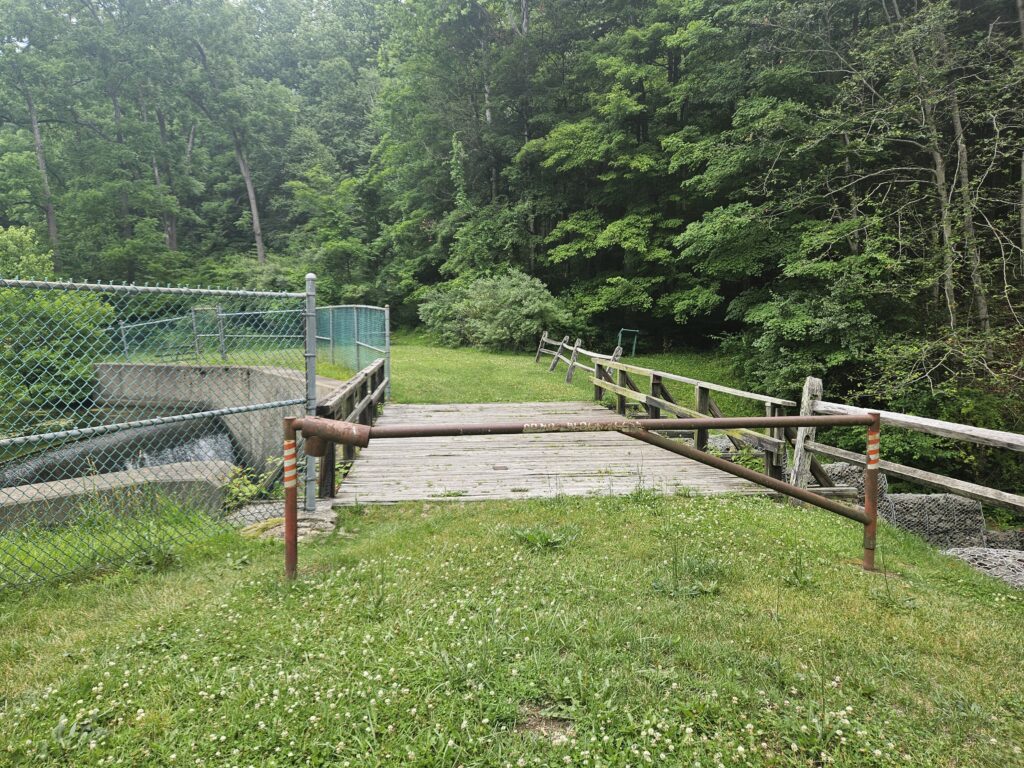
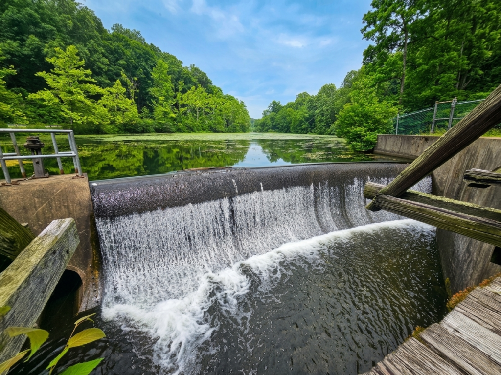
This bridge carries guests over the outlet of Swartswood Lake and is located just below the lake dam. This bridge also offers one of the only views on the entire hike: a view of the lower end of Swartswood Lake. This dam is at the far end of the lake after it narrows and bends slightly. As such, you do not get to actually see most of the lake. It is still a nice view, though.
Once across, you have two options: left or right, as the Gristmill Trail is a loop. I recommend taking the trail clockwise, as you end on the most scenic part of the trail. To do so, go left past some picnic tables until you see the trailhead sign.
The trail is generally level and clear for this first part. Unfortunately, despite being near the shoreline, there are no actual views of the water. At times you can even hear people launching their boats just a few hundred feet away, but still no view. To me, this is the most disappointing part of the trail.
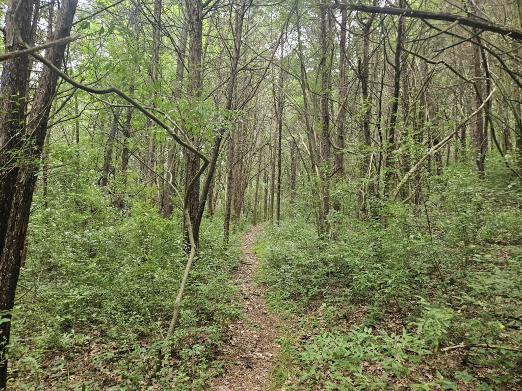
Eventually, the trail will turn right and head up a hill. Unfortunately, once you reach the top, you reach the second main problem: overgrowth.
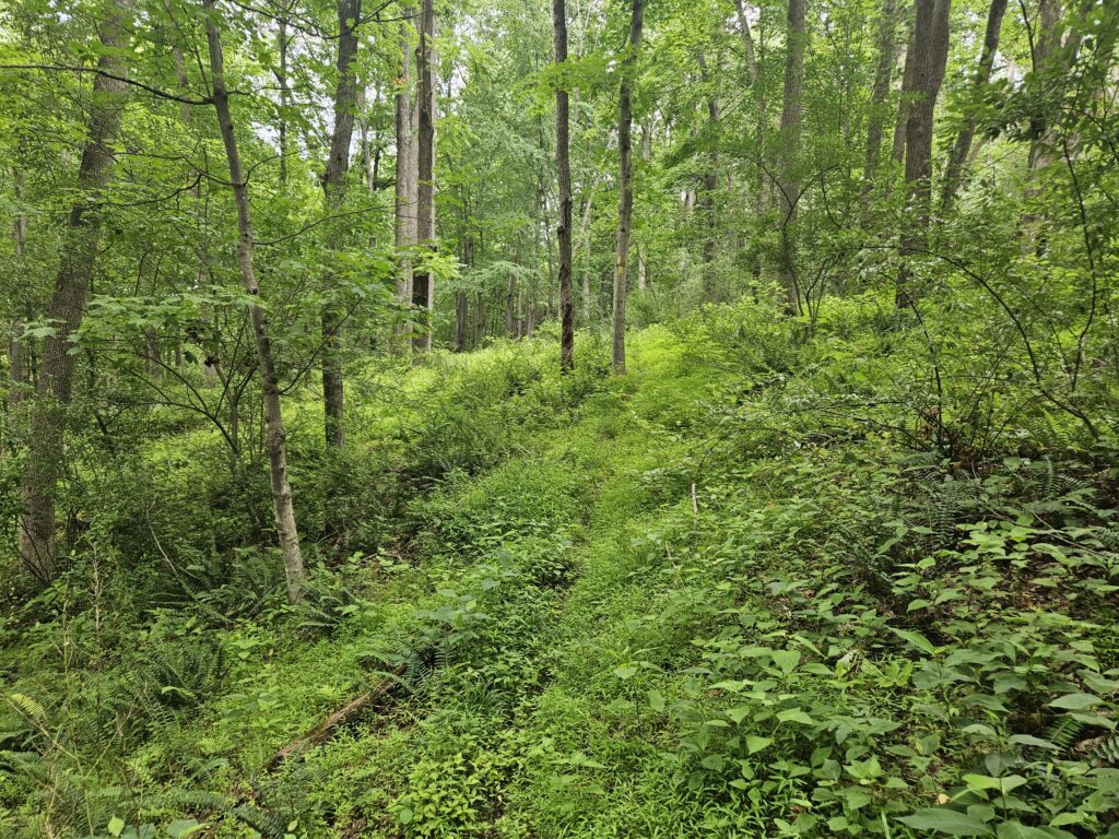
The trail remains obvious, but very overgrown, unfortunately with a lot of pricker bushes. Most of the higher section of the trail is like this.
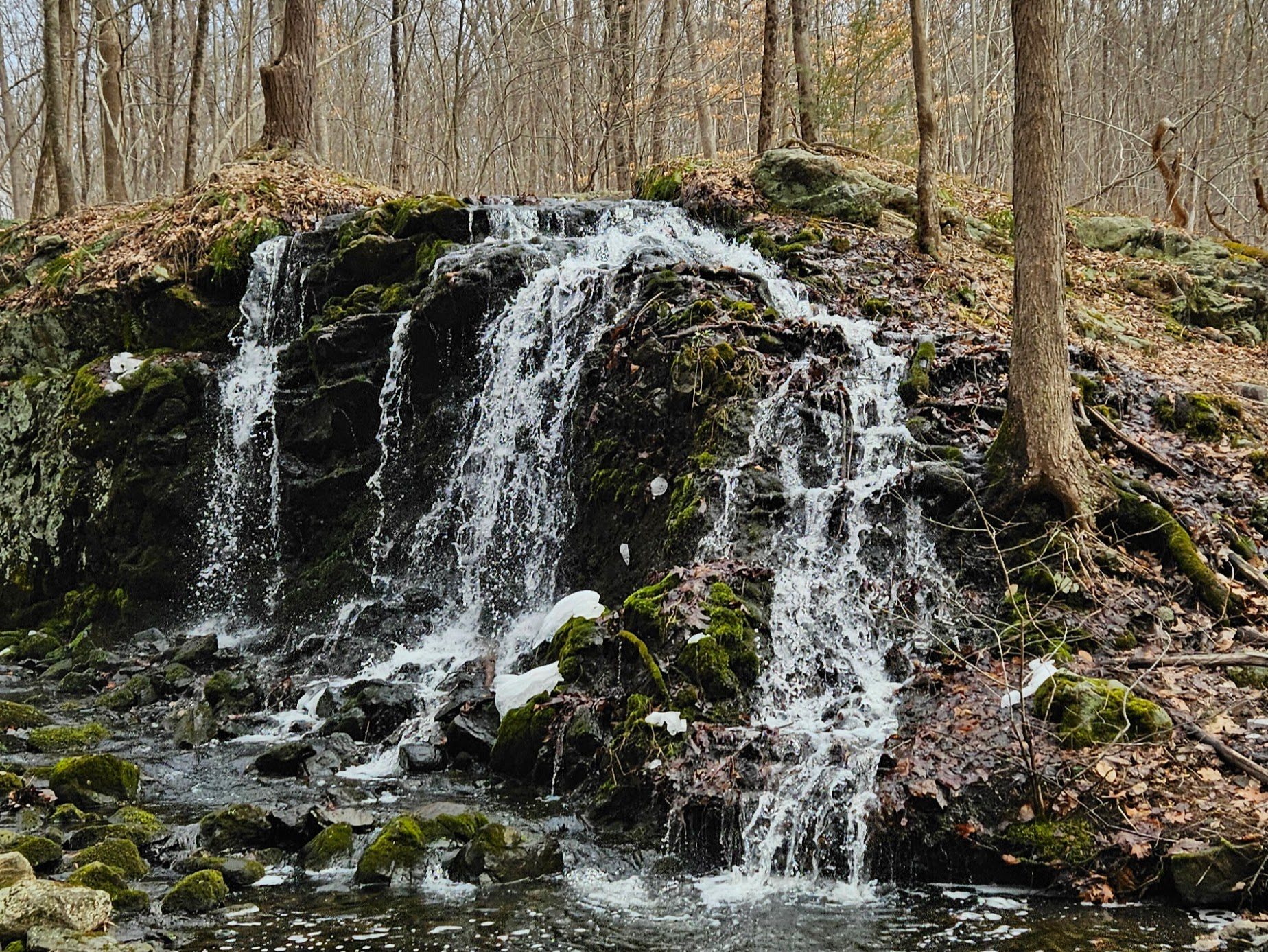
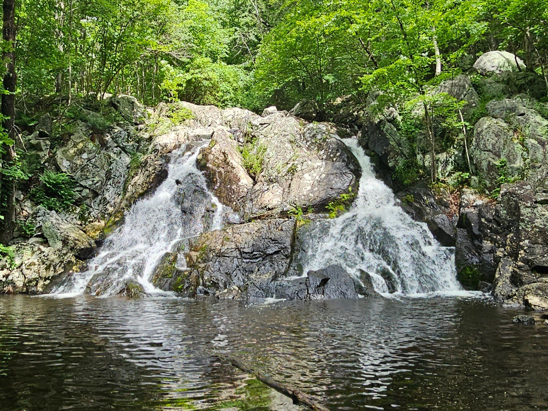
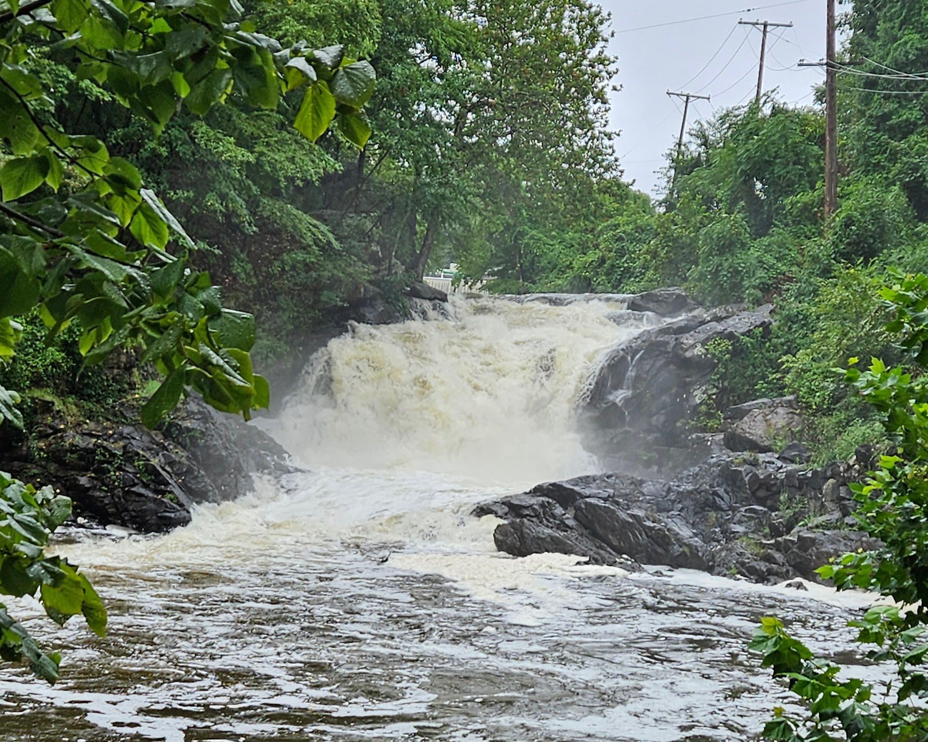
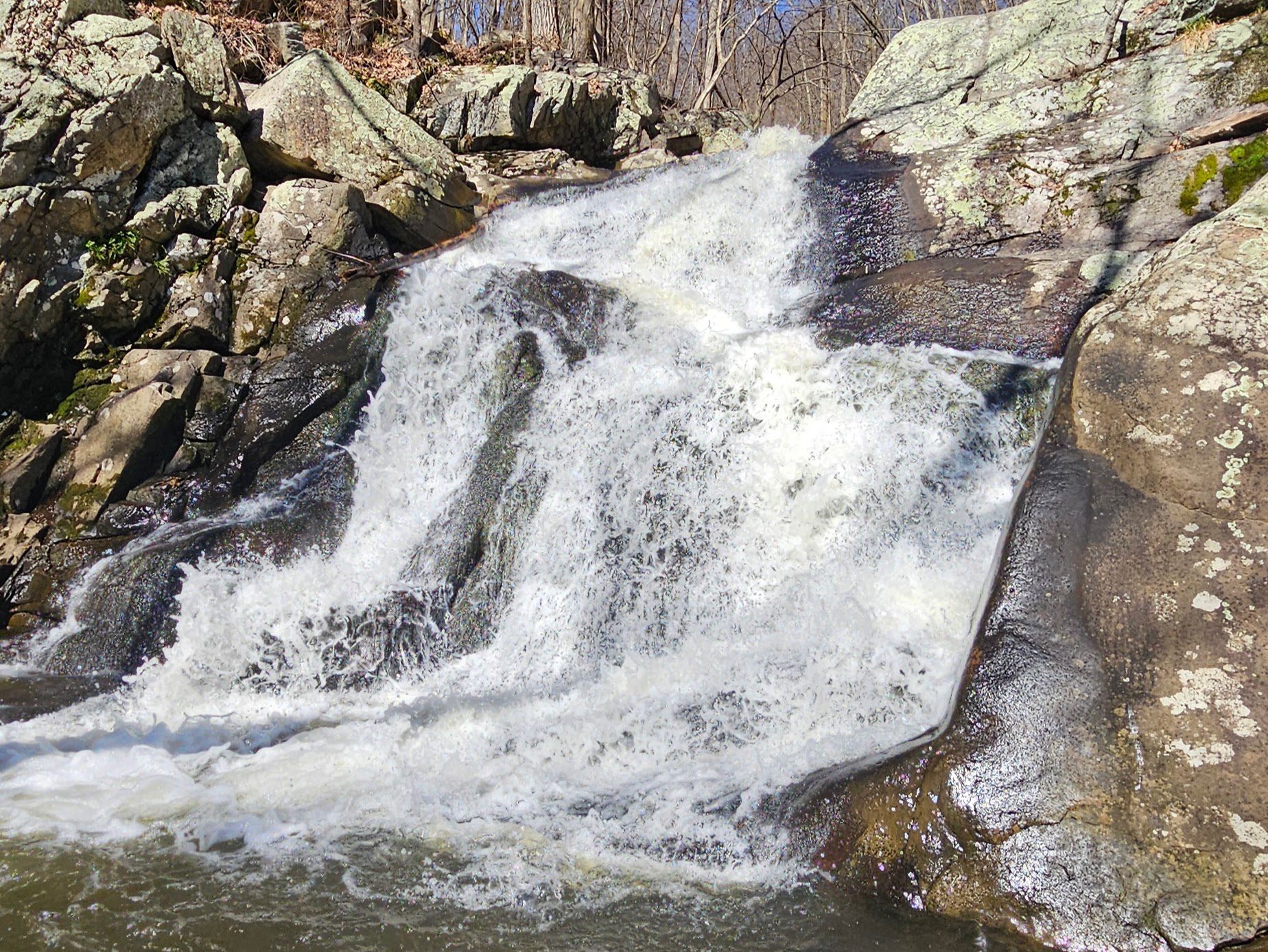
Eventually, you begin to descend again, leaving the overgrowth for good. At the bottom of the hill, the trail makes a right turn, offering some great views of the outflow of the lake.
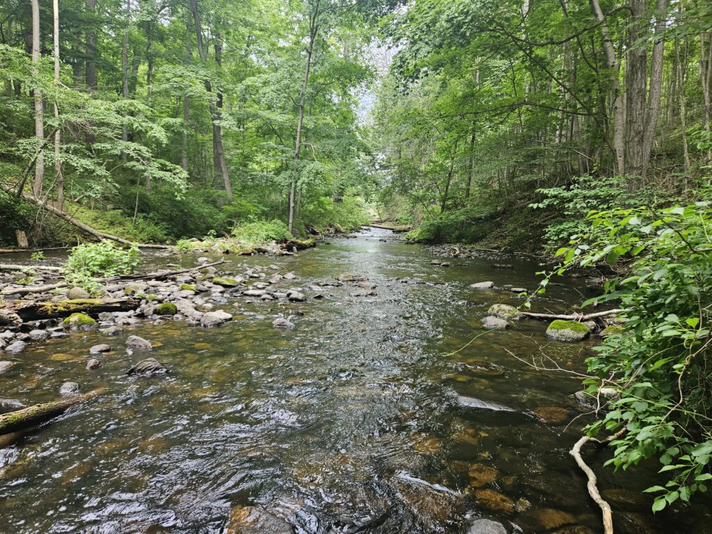
Continue just a short distance further, and you will reach the end of the trail, returning to the bridge to and from the parking lot.
GPS Route
Attached is the route as described above for reference. Additionally, users can download the route to use on their preferred GPS. How to use the GPS routes on your phone.
Review
As mentioned above, the Gristmill Trail ultimately disappointed me, mostly because it has the potential to be so much more. The two defining issues here are the lack of views and the overgrowth.
The lack of water views is especially frustrating given that the state owns the land between the trail and Swartswood Lake. The area isn’t a flood zone, and there are no other obvious reasons for the trail to avoid the water entirely. What’s weird to me is that the trail clearly had a lot of thought put into its design; it is well-marked and features multiple sets of both stone and wooden steps to help with the ascents and descents.
The second major issue, the overgrowth, is likely a byproduct of low foot traffic. While the parking lot is open, you are immediately greeted with multiple “Area Closed” signs for Keens Mill, which likely dissuades hikers from exploring further. Additionally, the lack of scenery means very few people return for a repeat visit. Without regular traffic, nature has quickly reclaimed the path.
Ultimately, the only real highlights are the brief views of the lake at the very beginning of the trail and the stream at the end.

Leave a Reply