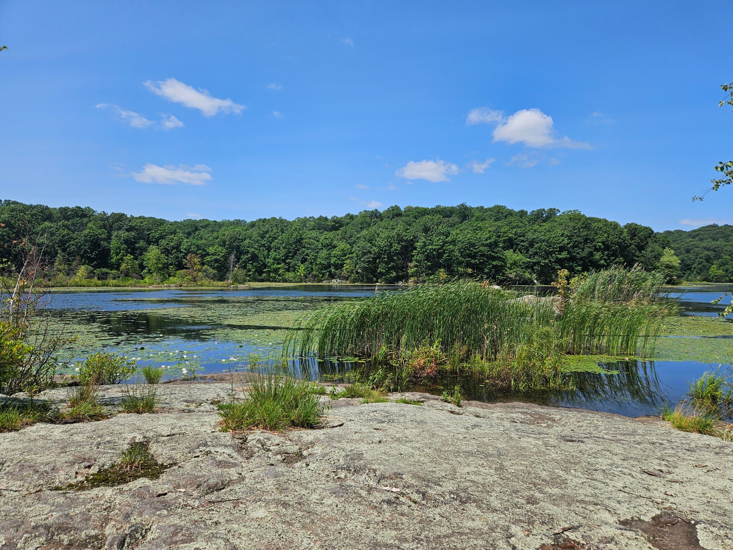
Located in West Milford, New Jersey, the Red Loop at Apshawa Preserve is an excellent hike around the Kathleen M. Caren Reservoir (formerly Butler Reservoir). This easy-to-moderate 4-mile trail climbs from the main parking area before circling the 40-acre lake, offering great water views throughout the loop along with passing two active beaver ponds. Continue reading to learn more about this underrated New Jersey hike.
Hike Information
Distance: 4 miles
Ascent: ~400 feet
Difficulty: Easy-Moderate
Attached is the route as described below for reference. The elevation profile and route were created on AllTrails. Users can download the route to use on their preferred GPS. Click here for information on how to use the GPS routes on your phone.
The Hike
The hike is easy to moderate and about 4 miles long. There are some moderate hills, most notably on the White Trail, but overall, there are no significant climbs. The trail begins and ends on the Blue Trail, which connects the parking area to the rest of the trails. Unfortunately, the Blue Trail is kind of boring, but the hike is much better near the reservoir. As the Blue Trail is the main connector, the return is also not very exciting as you have to take the trail again.
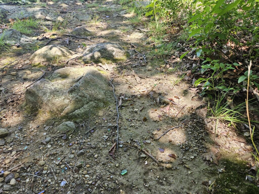
Glass Warning
Unfortunately, I noticed a good amount of glass throughout the preserve. Most of the glass was found around the rocky lake overlooks and the optional peninsula. These spots appear to be late-night party spots, though I also saw some near the start of the trail just outside the gate. While most of the trail is fine and will not impact most hikers, dog owners should be extra cautious, especially around the reservoir.
Starting the Hike
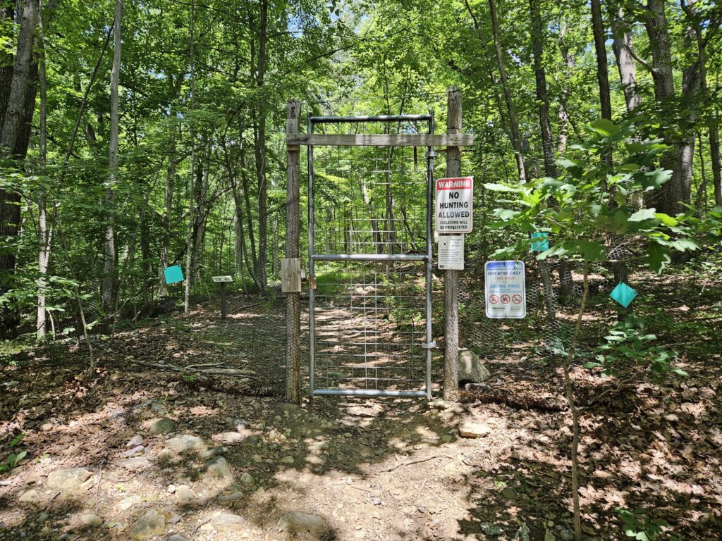
The trail starts on the other side of a deer fence, which can be entered via a gate accessed from the parking area.
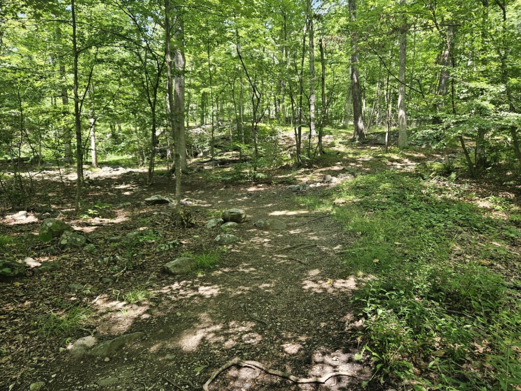
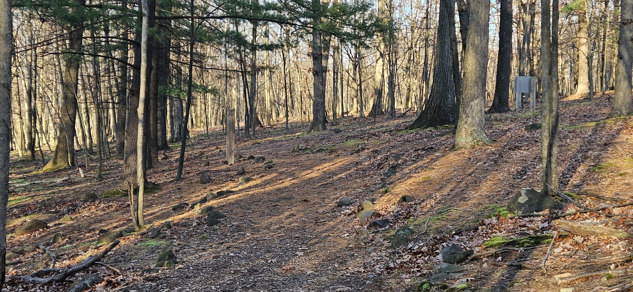
Past the gate, take the Blue Trail (the only option). The hike begins as a gentle gravel road path, before quickly transitioning to an all-natural surface.
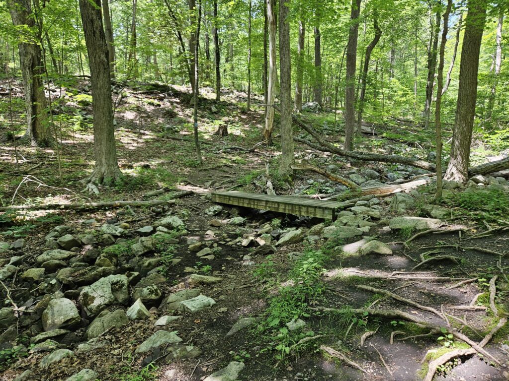
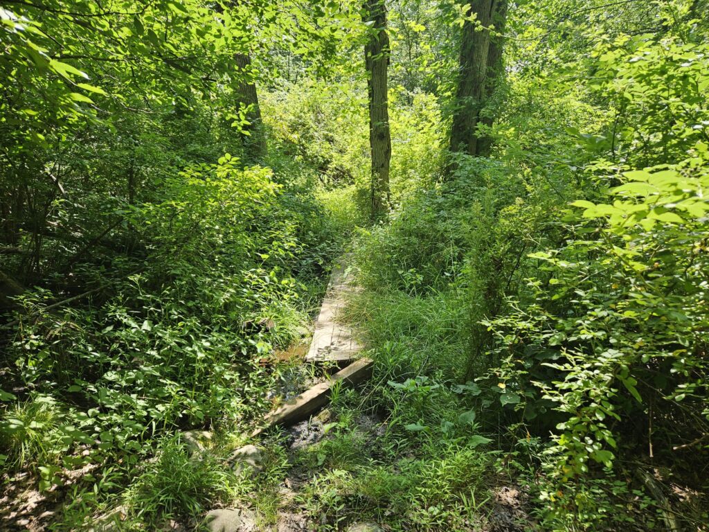
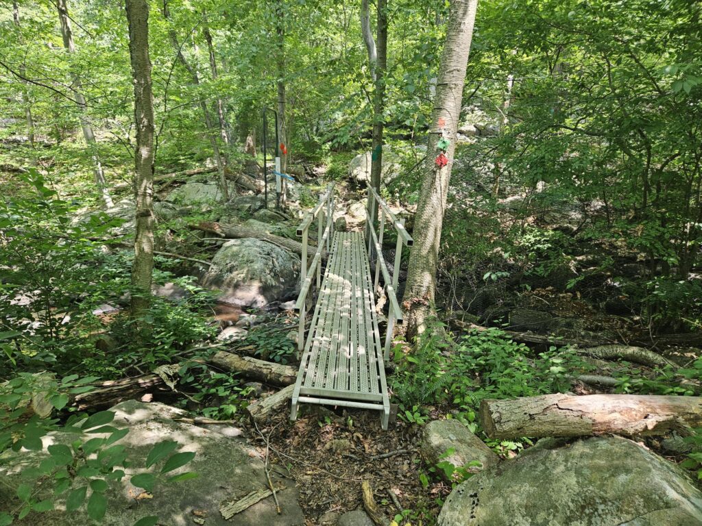
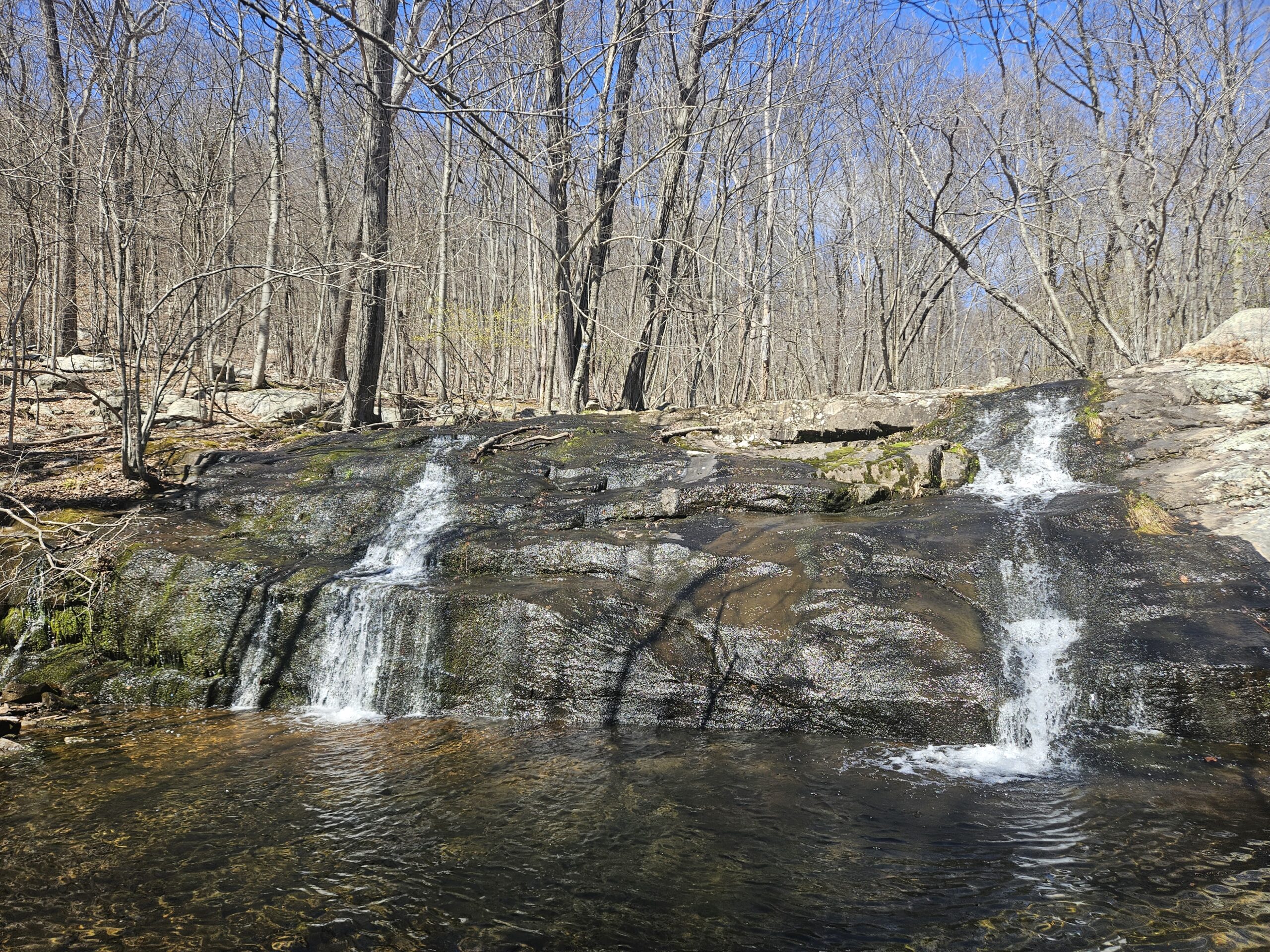
The first half of the trail crosses a few seasonally wet areas and streams. Unfortunately, these streams seem to be largely seasonal as well. Each of these areas does feature small boardwalks or bridges, if there is ever water, though that seems to be rare.
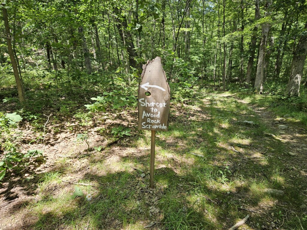
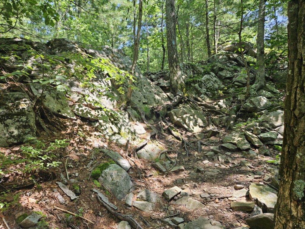
After about 0.3 miles, you will reach a fork for the new Black Trail. A handmade sign (complete with a typo) points towards the trail, labeling it as a shortcut around a rock scramble. In all honesty, the scramble is not that challenging.
You have to return on the Blue Trail, so I recommend trying both directions: the side with the scramble and the shortcut for variety. As the Blue Trail with the scramble is ever so slightly longer, I recommend doing that side first while you still have energy but note that the scramble is downhill from this direction. As mentioned already, it is not particularly challenging.
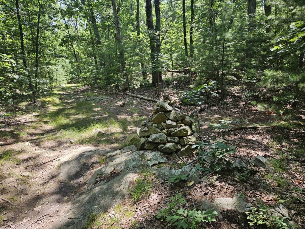
Just past the scramble, you will reach a large cairn marking the start of the White Trail. This is also where the Black Trail rejoins the Blue Trail. Turn right to start the White Trail.
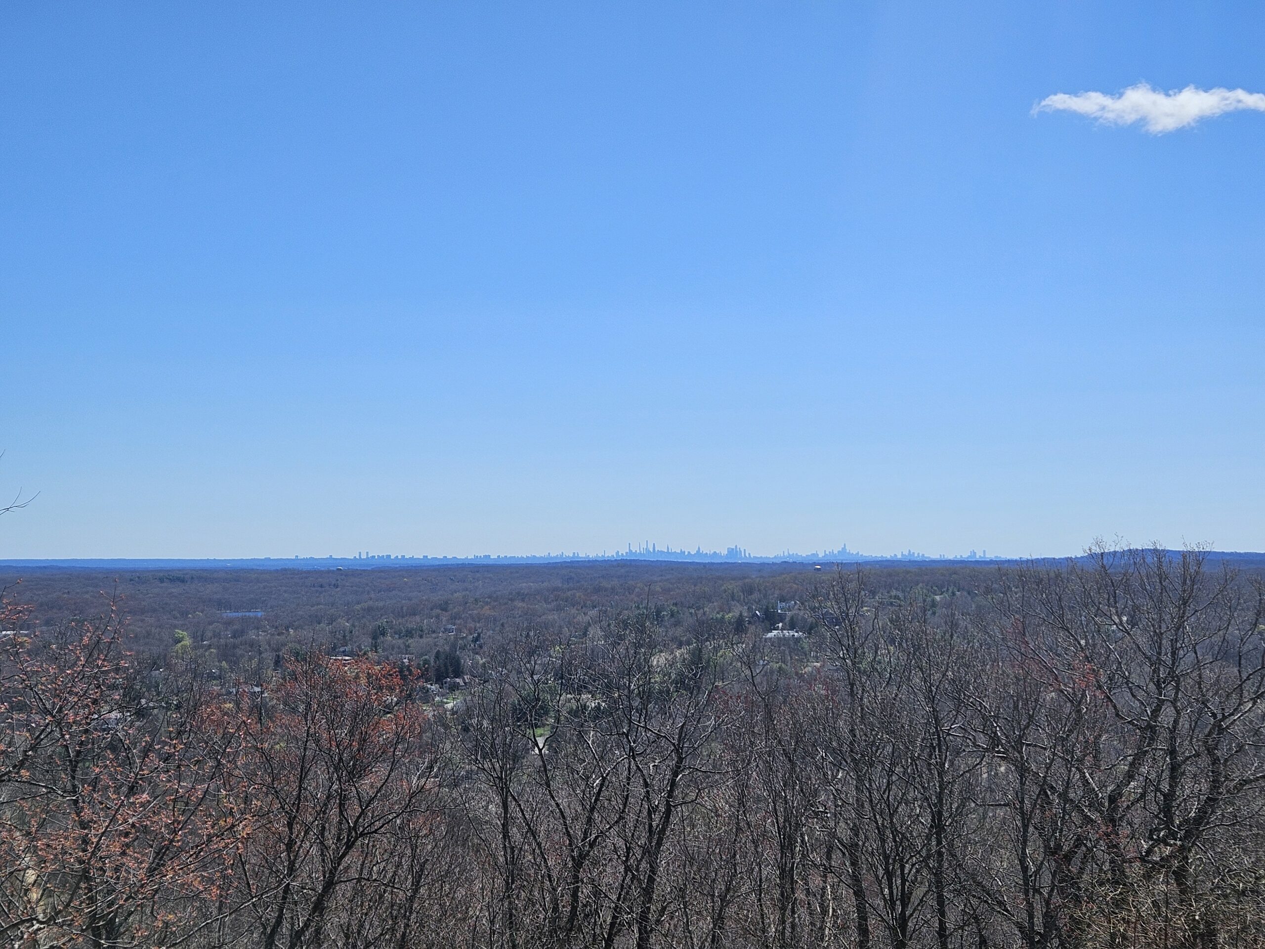
The White Trail is one of the more challenging trails in the preserve but should be manageable for most visitors. It rises to the top of a small hill, then gradually winds its way across the summit. After 0.3 miles on the trail, you will reach a west-facing overlook. While it is nothing spectacular, consisting solely of gentle hills in the distance, it is a nice view.
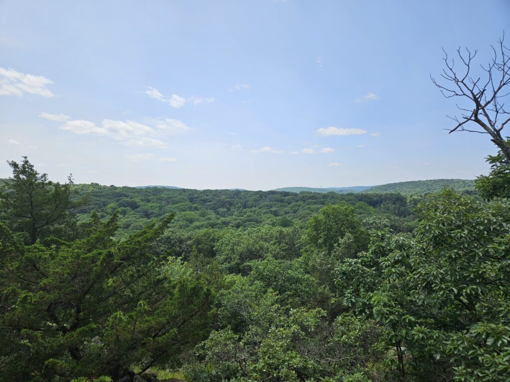
From the overlook, continue on the White Trail for 0.1 miles until you reach another deer fence gate. Walk through the gate, ending the White Trail at the Red Trail. The Red Trail is a loop, and you can take it either direction; turn right for the better hike.
Reservoir
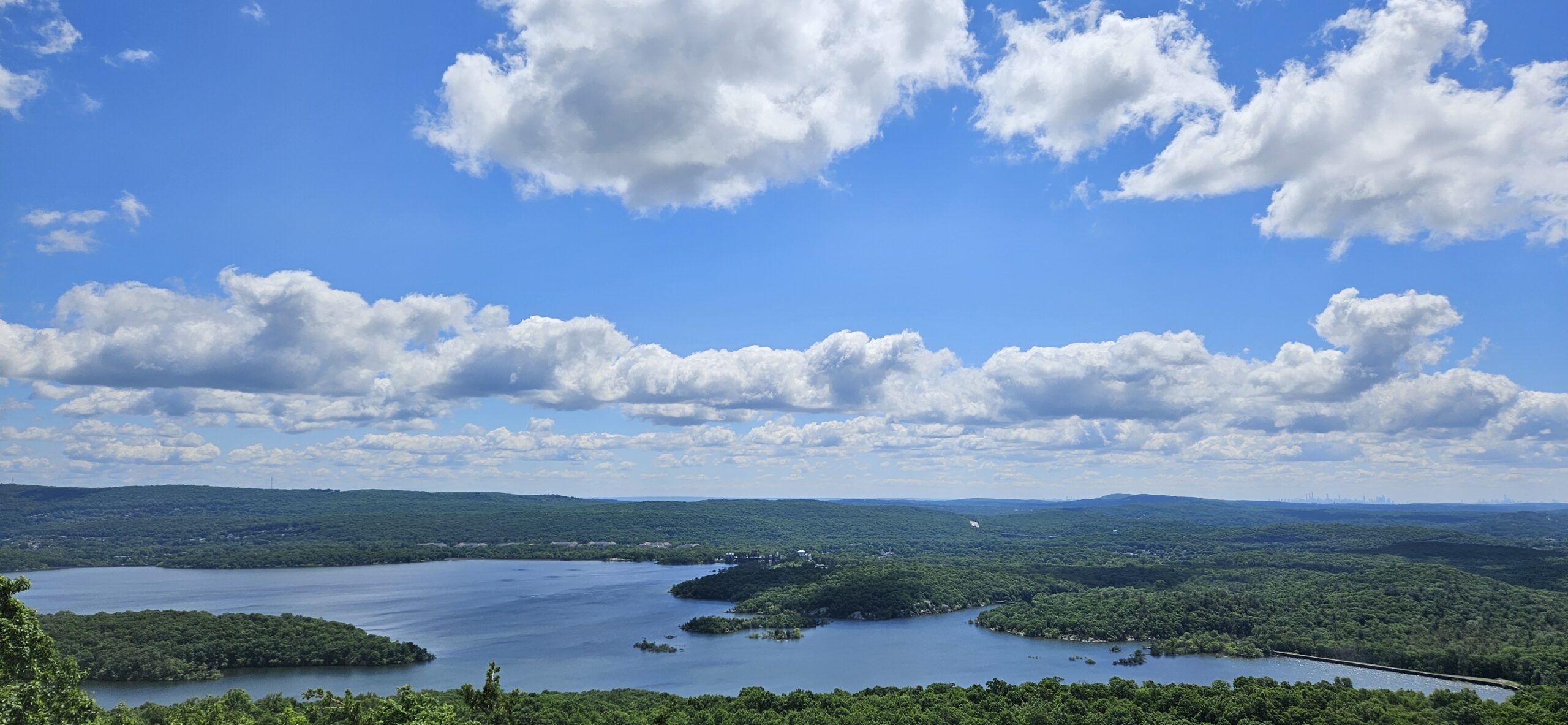
Almost immediately, you will reach the first of many reservoir views. This view is straight ahead of a rocky peninsula, which you will reach towards the end of the loop.
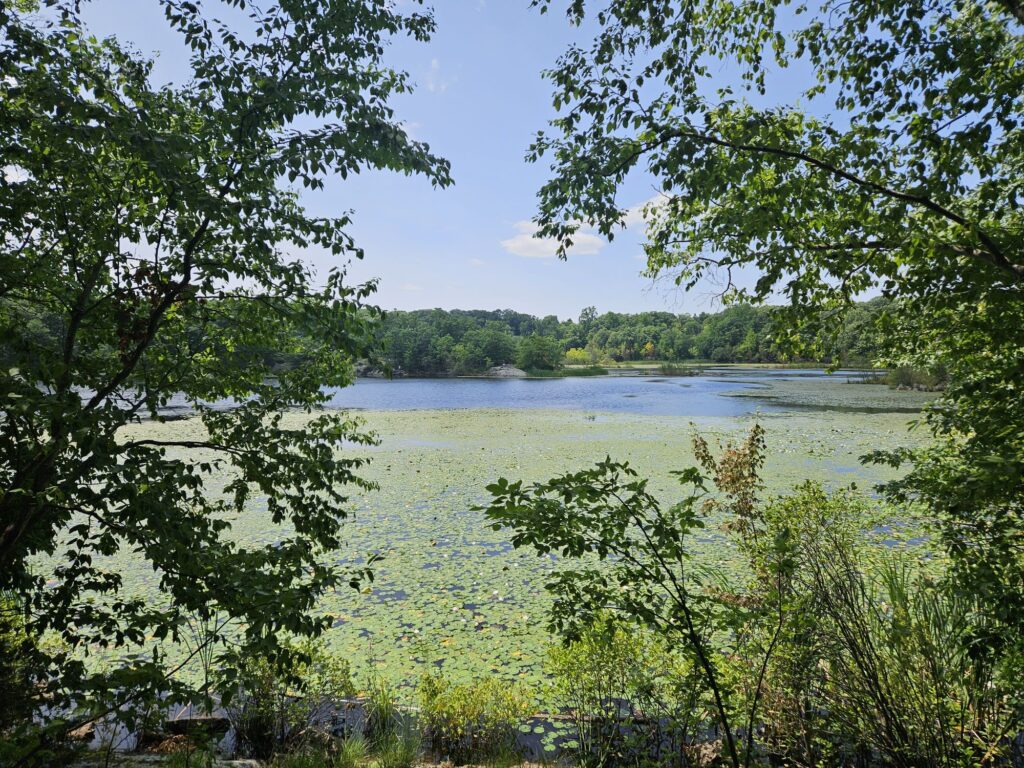
From the first view, continue on the Red Trail, leaving the water for a more wooded walk. After 0.3 miles, you will reach a recent change to the trail. Previously, the trail continued straight to cross a beaver dam. Today, the trail crosses a small stream connecting a beaver pond to the main reservoir via a rock hop. This change is clearly marked.
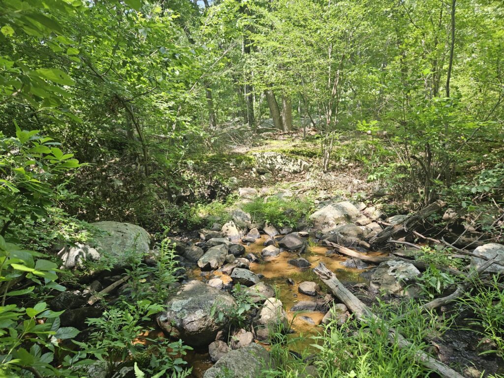
After crossing the stream, continue on the Red Trail, crossing over another stream before reaching an excellent view of the Beaver Pond.
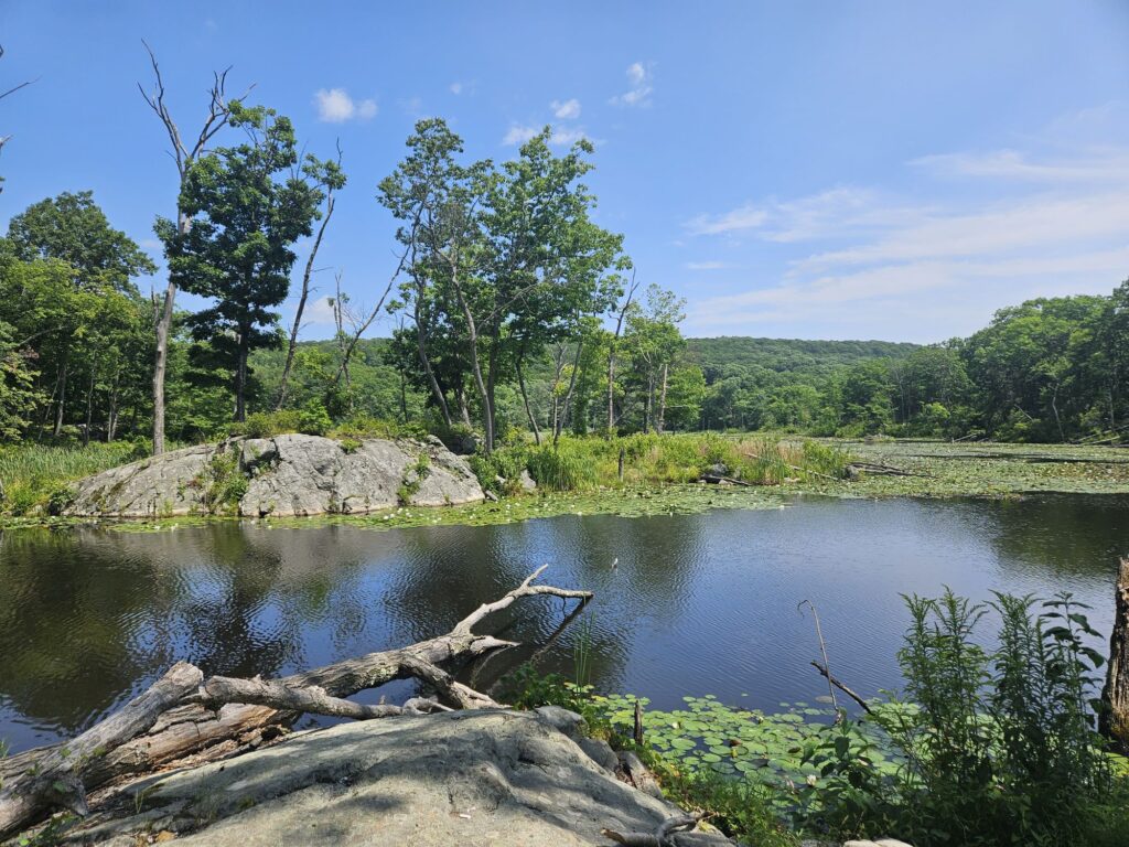
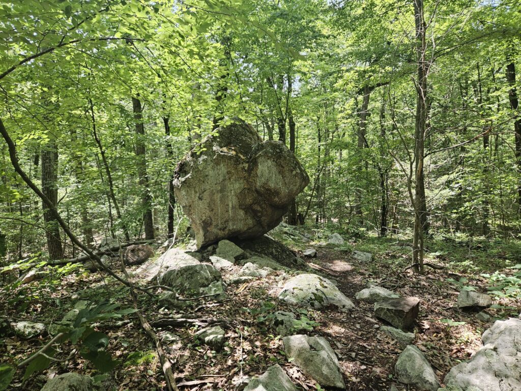
From the overlook, turn slightly around and continue following the Red Trail, crossing over yet another stream. From here, you will enter a lengthy wooded section. Along the way, you will take another recently rerouted section of the trail. As of August 2026, this trail does not appear to be updated on any phone GPS; however, the blazes are clear here. Along this reroute, you will pass a large, rounded glacial erratic balancing at the edge of a small hill.
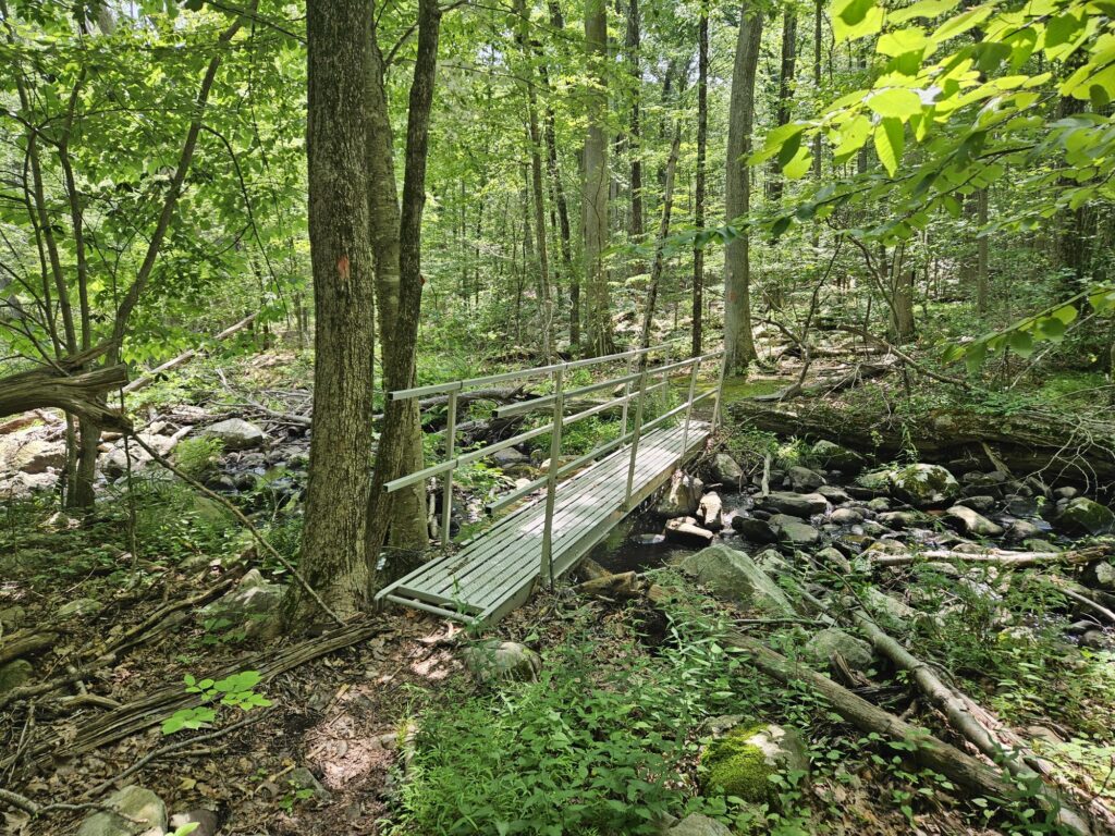
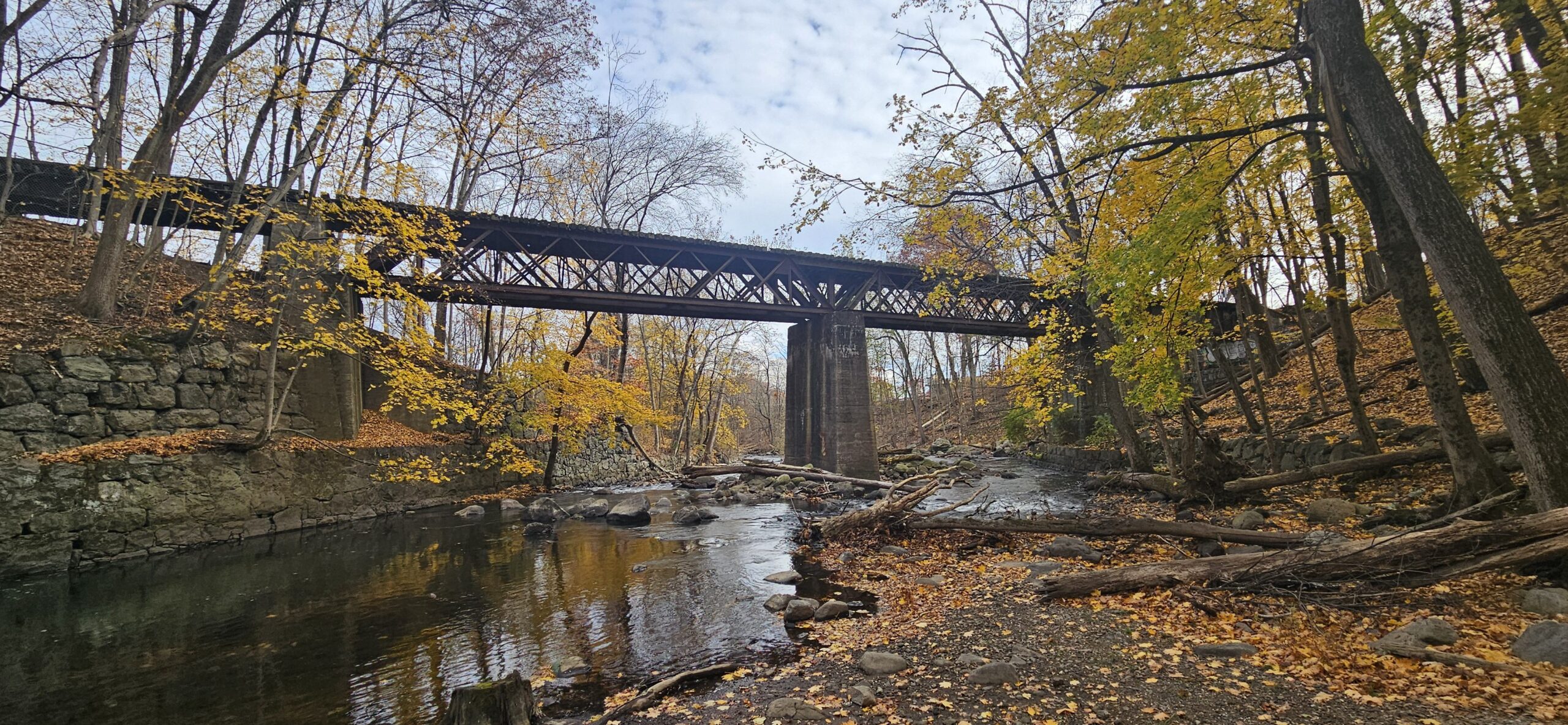
After the glacial erratic, the trail works its way down to water level again and crosses a bridge over Apshawa Brook.
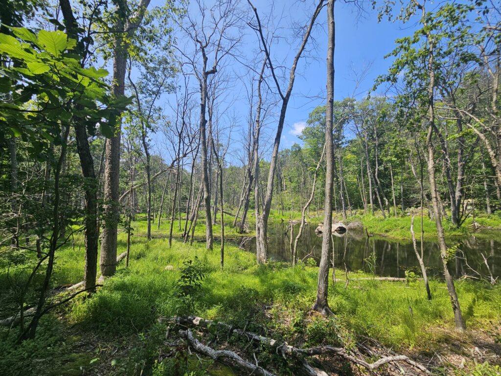
After crossing the brook, you will pass by a newer beaver pond. Here, you can see many dead, but upright, trees which were killed by beaver flooding. Occasionally, you can also see old markers for the old Red Trail in the middle of the new pond.
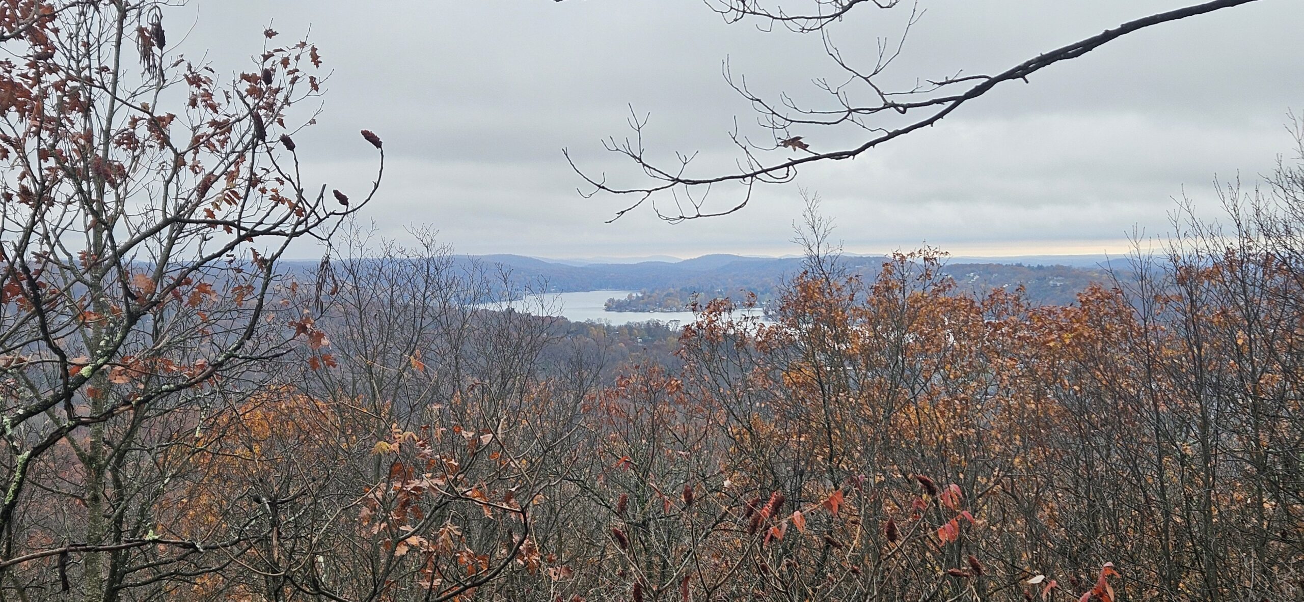
Just past the beaver pond, you reach yet another view of the reservoir.
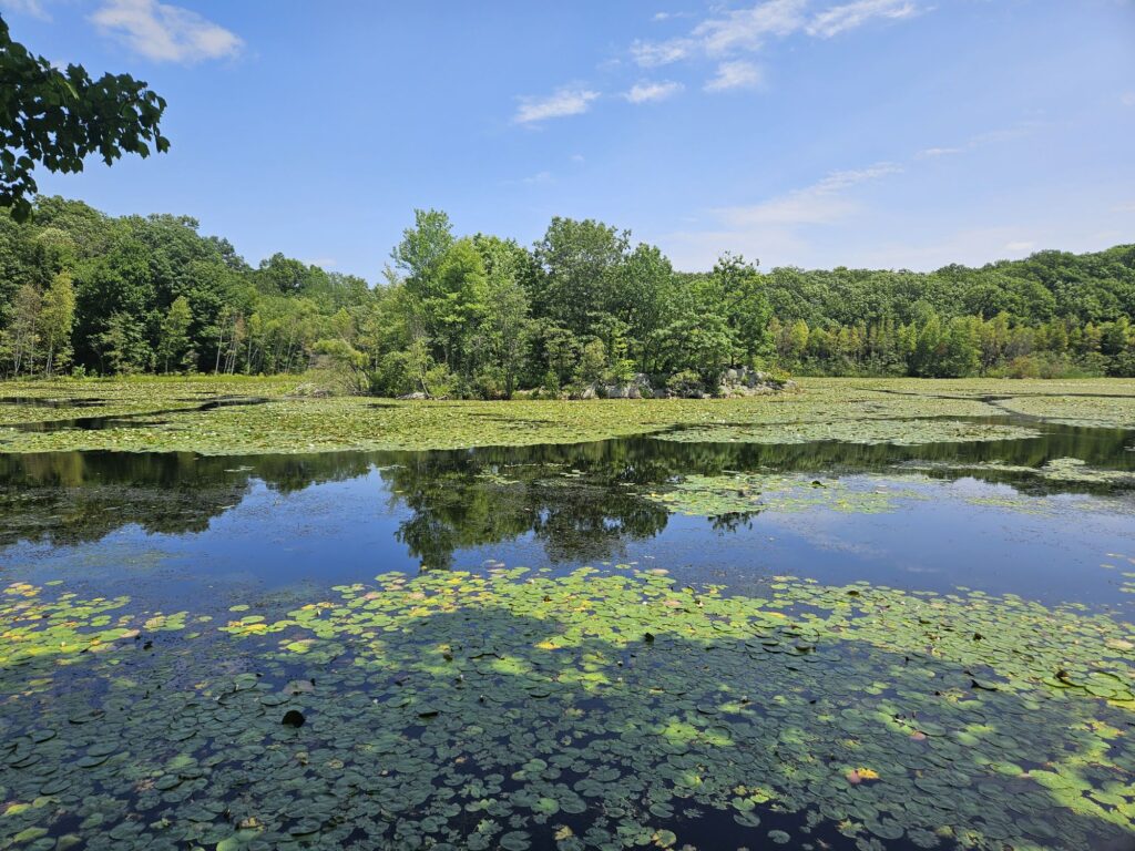
This section is much closer to the water and passes by several trees felled by beavers. There are also occasional lodges visible in the water.
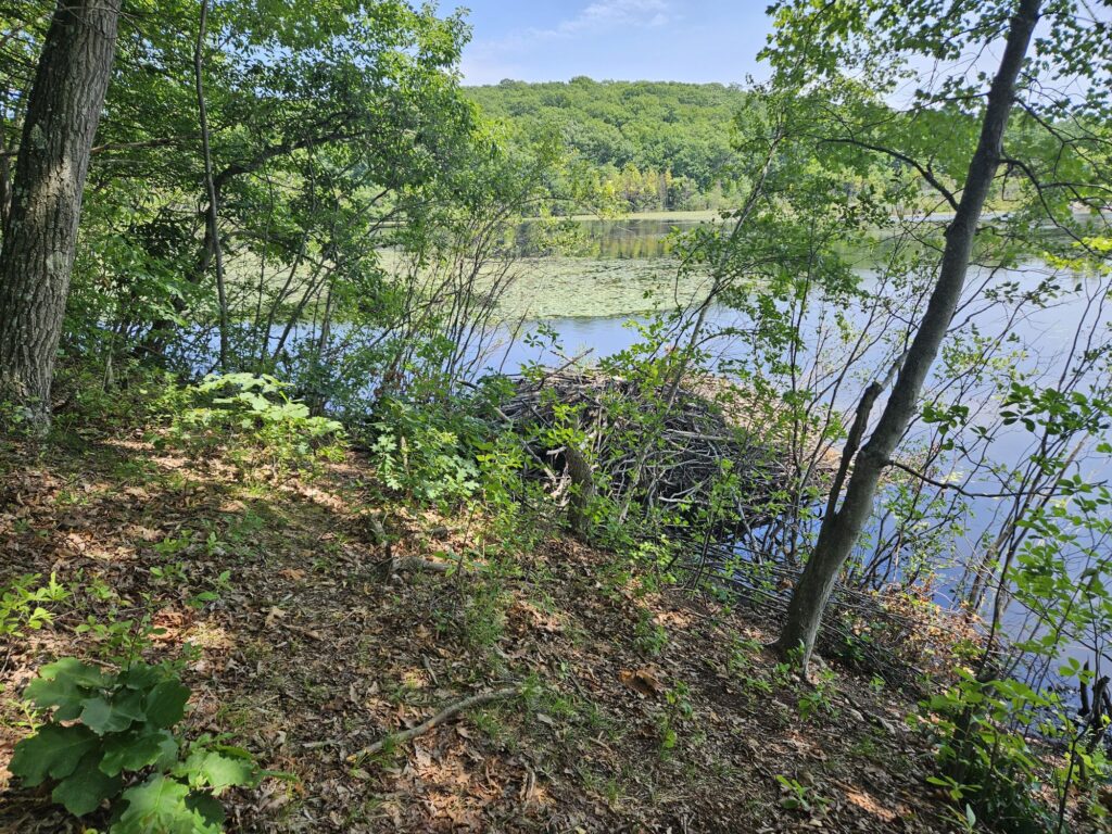
At one point, you will reach a small rocky outcrop, featuring yet even more views.
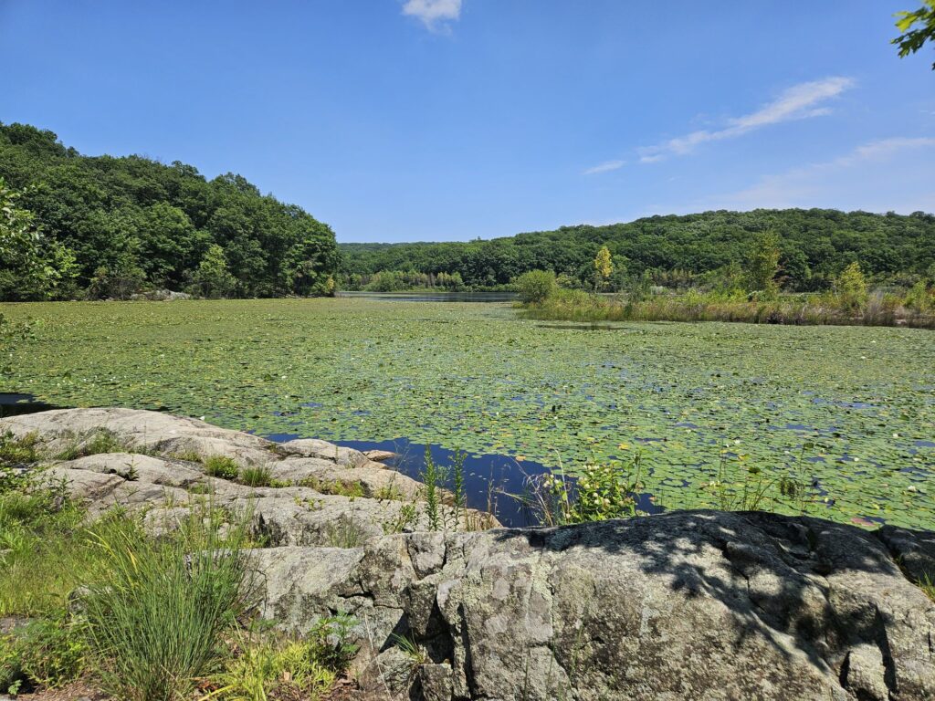
After this view, the trail gets a little swampier. Fortunately, there are small wooden planks around some of the wet spots, but the trail can be muddy. Luckily this is brief.
Soon you will reach a gravel access road for the reservoir. Turn left onto the road and follow it for 0.1 miles.
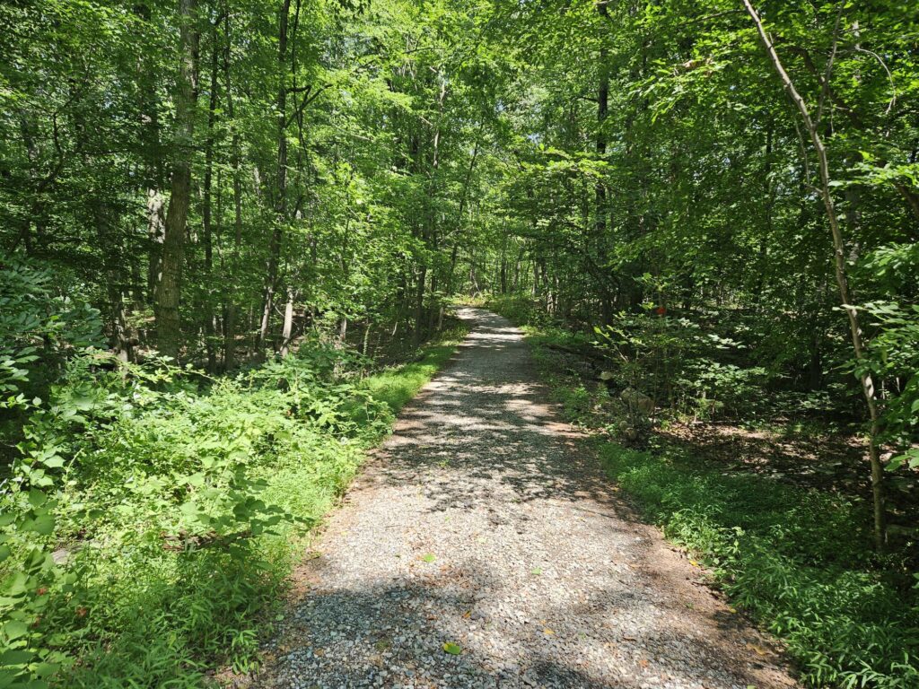
At this point, the Red Trail (along with the Green Trail, which is briefly co-blazed) exits the road to the right.
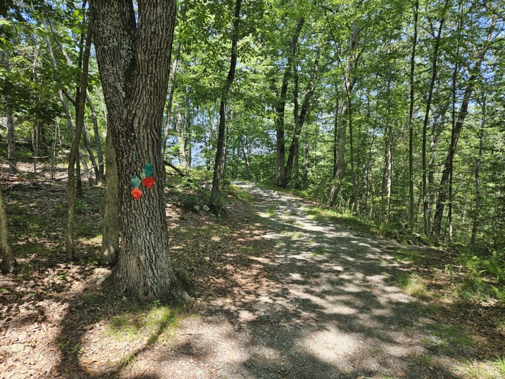
If you have the energy, there is still one last view to take in. Continue straight on the road, reaching a seemingly random official sign for the reservoir.
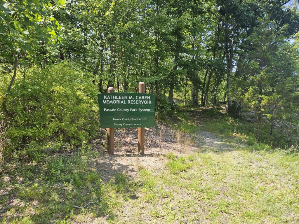
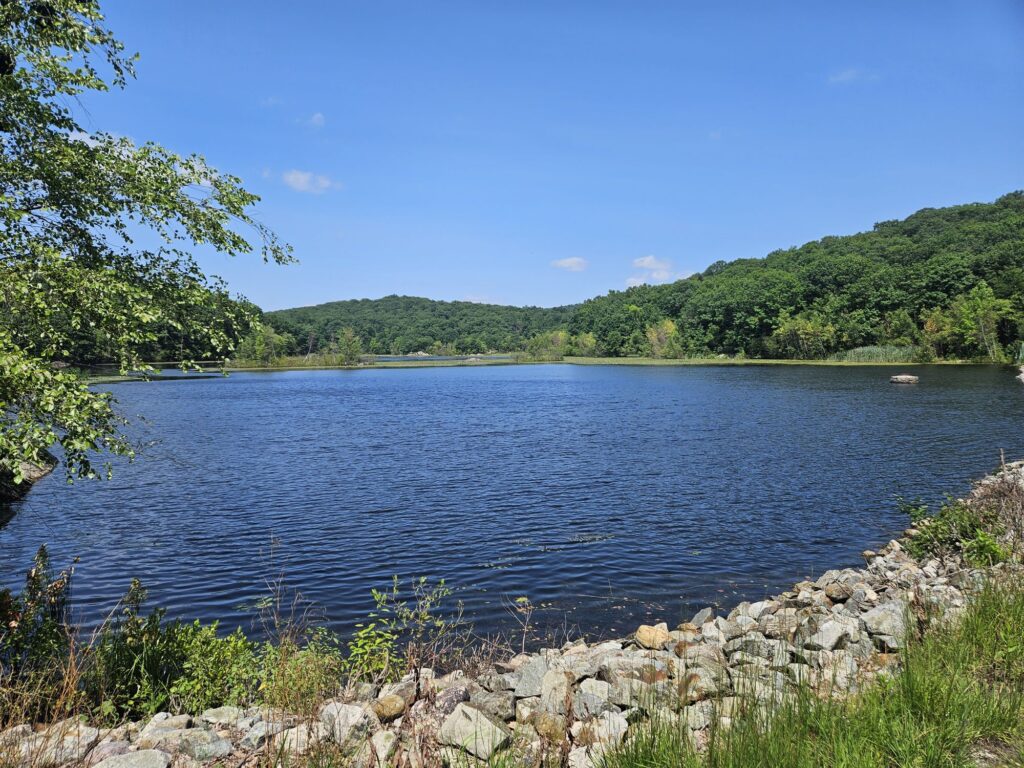
To the right is a decent view from the dam.
Walk past the sign and follow the trail. While there are still red markers, these are occasional and not as clear, though they are not really needed; simply keep the water to your right as you hike onto the small peninsula you saw at the first reservoir view. Soon enough, you will reach a wide rocky clearing with some of the best views in the preserve.
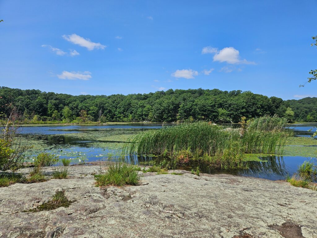
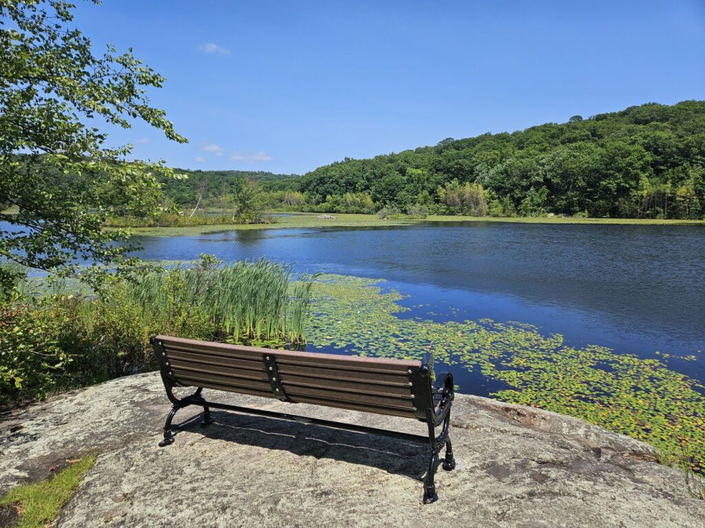
Nearby is a nice bench offering a nice place to sit and watch the water. As with the previous sign, this bench seems weirdly out of place as it is literally the only bench in the preserve, and even taking the most direct route, it is still more than a mile from the parking area.
From this overlook, return to the turnoff you passed earlier and turn left onto the co-blazed Red and Green Trail. After a couple of hundred feet, you will cross another metal bridge over Apshawa Brook from below the dam for the reservoir.
Immediately after the bridge, turn right onto the Green Trail. Soon after the Blue Trail starts to the left. Take the Blue Trail, which begins your journey back to the parking area. Unfortunately, the journey back is fairly mundane. If desired, you can also continue on the Red Trail for a short distance until you reach the White Trail again, then take that trail back. This is slightly shorter, but more challenging. I always prefer taking different trails back whenever possibly for the change in scenery.
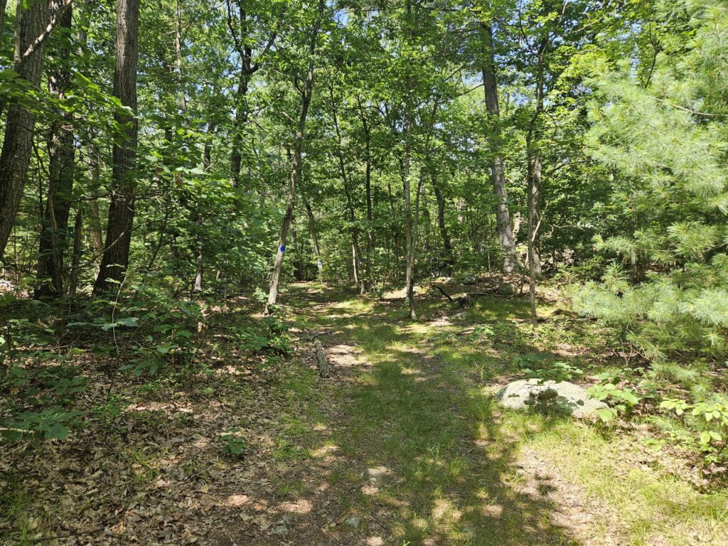
Follow the trail for 0.7 miles until you reach the other end of the shortcut trail passed earlier.
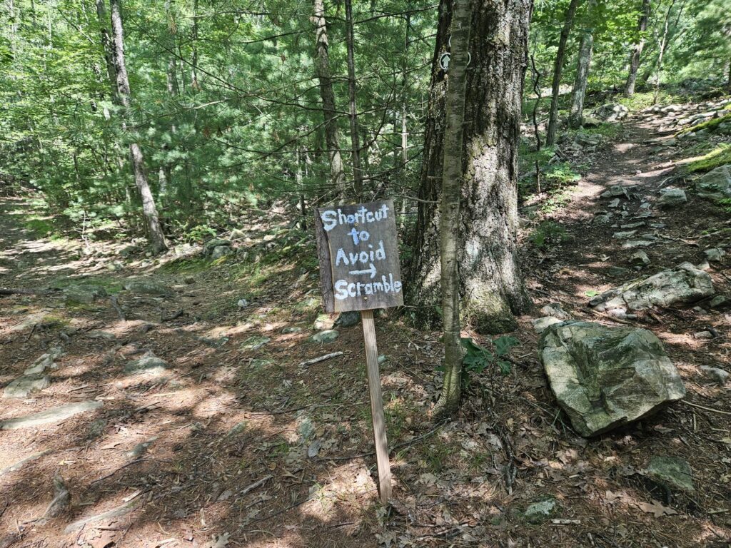
To make the return slightly more varied from the ascent, I recommend taking the shortcut trail. Once the shortcut is complete, you are back on the Blue Trail. Follow it for 0.3 miles, tracing the original part of the hike until you are back in the parking area.
Review
The hike around the reservoir is severely underrated and really deserves more traffic than it receives. While the neighboring Norvin Green State Forest is always busy, Apshawa Preserve is typically empty. This is a shame because the trail around the reservoir is legitimately great thanks to the varied shoreline and interesting beaver ponds. If you are looking for a nice hike with multiple water views that is not too challenging, definitely visit Apshawa Preserve.



Leave a Reply