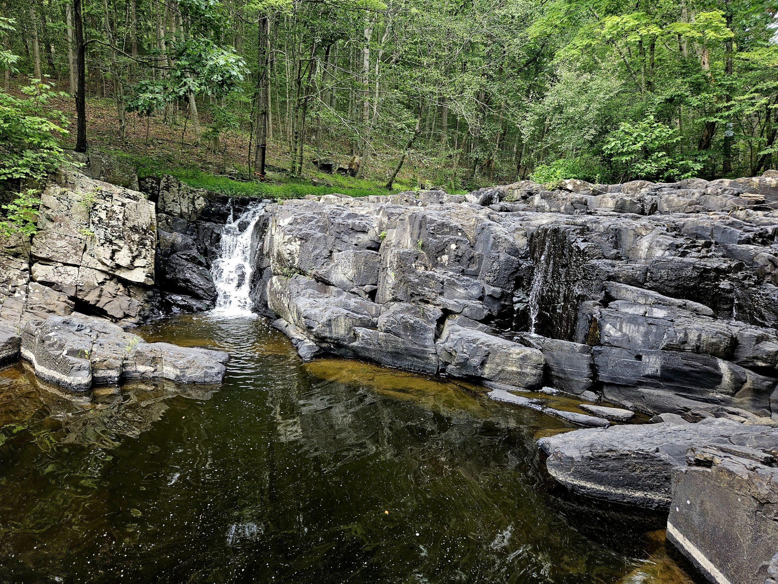
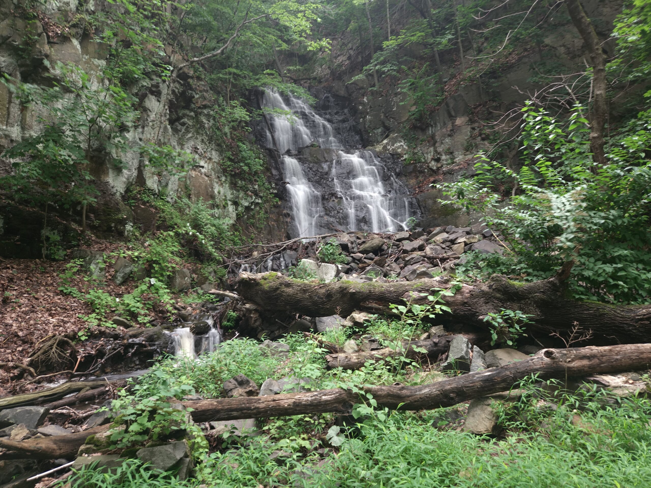
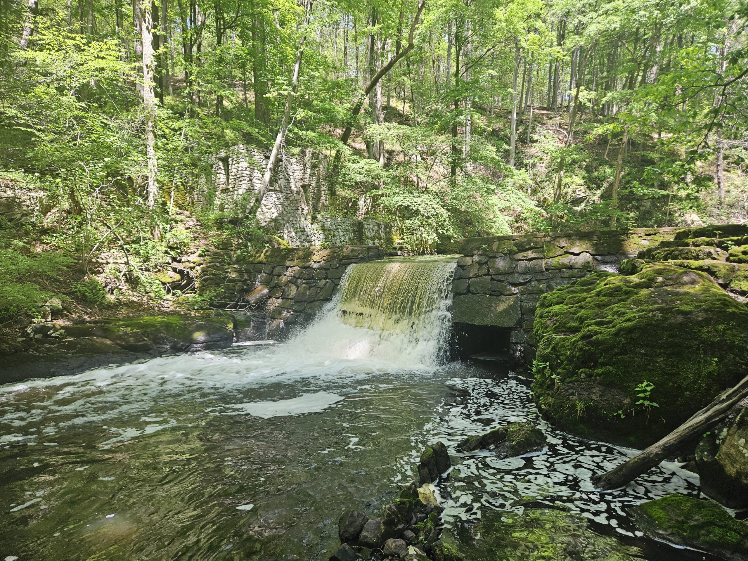
Located in Kingwood Township in southern Hunterdon County (an area of the state with limited waterfalls), the impressive 12.5-foot Lockatong Falls stands out. While not the tallest, this waterfall is impressive as it spans the wide Lockatong Creek. Hiking to this waterfall is easy, with a simple, flat one-mile hike each way. As a bonus, a smaller, relatively unknown waterfall can be found by hiking a half mile up Lockatong Creek. Continue reading to learn more about this excellent waterfall and everything you need to know, from the rough access road to why you should hike it as an out-and-back.
Lockatong Wildlife Management Area
Parking: See below
Price: Free
Trail Map: N/A
Hike Information
Distance: 1.8 miles (add an extra 0.6 miles if visiting Upper Lockatong Falls
Ascent: ~220 feet
Difficulty: Easy
The Hike
The hike to the Lockatong High Falls is relatively easy and only 1.8 miles round trip. If you want to see the smaller upper falls, it becomes a 2.4-mile hike, which is still doable for most people. Most of the trail is flat, packed dirt. If you come after heavy rain (when the waterfall is at its highest flow), the trail can be muddy, especially at the start. The only rocky section of the main trail is at the High Falls themselves, where you have the option of scaling down to Lockatong Creek.
The add-on hike to the Upper Lockatong High Falls is a little rougher, featuring rocky terrain and some overgrowth. The overgrowth becomes extreme after the Upper Falls, so it is best to turn around once you reach it. For most hikers, the standard out-and-back to the main High Falls is enough, and the Upper Falls aren’t necessary, since they are much less impressive. More information is provided below for those interested in seeing both waterfalls.
Parking
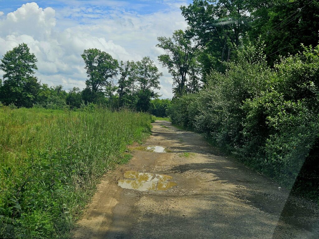
The only parking area is at 235 Kingwood Stockton Rd, Stockton, NJ 08559. The parking lot is at the end of a poorly maintained, quarter-mile dirt road. The road is littered with large potholes, so I recommend coming in a high-clearance vehicle if possible. At the end of the driveway, a crude clearing serves as a parking lot that holds about 10 cars, though the exact number depends on how other visitors park.
Beginning the Hike
From the parking area, locate the trailhead to the left of where you drove in. The trail is between two cut logs with the park rules posted. Cars can and do park directly in front of the trail, which can make it hard to find.
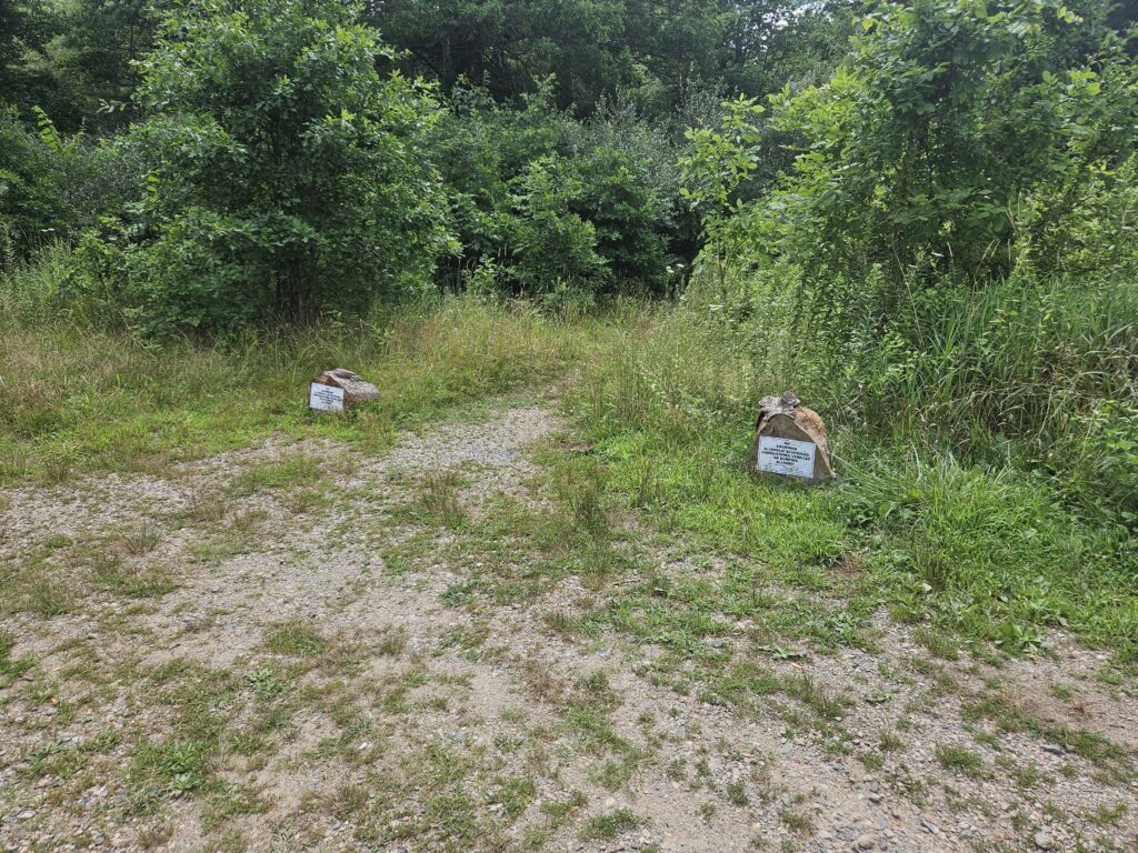
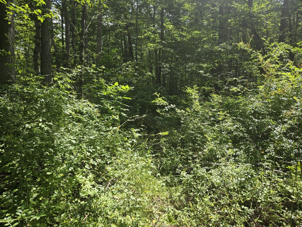
The first hundred or so feet of the trail are slightly overgrown, but past that, it significantly opens up and becomes easy to follow. Officially, the trail is blazed white, but these markings are few and far between. These are not needed as the trail is very obvious.
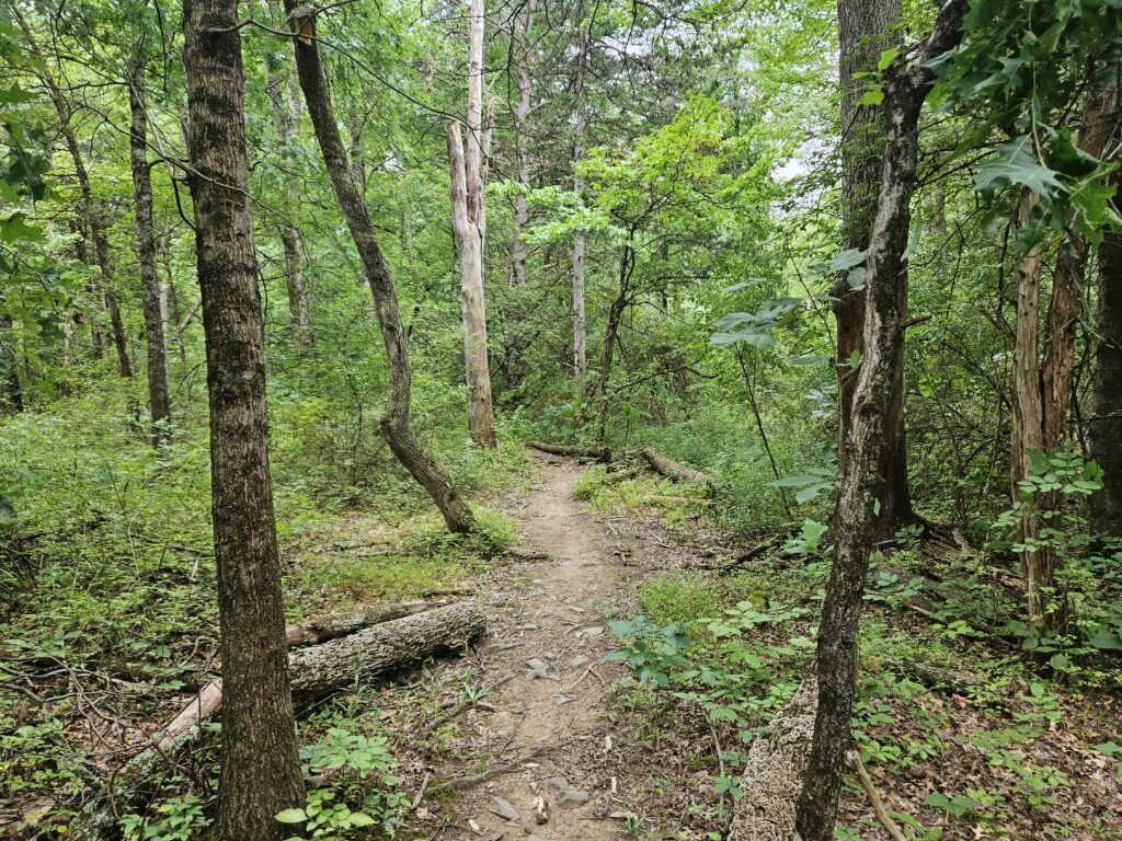
Follow this generally level trail for 0.9 miles until you reach the High Falls.
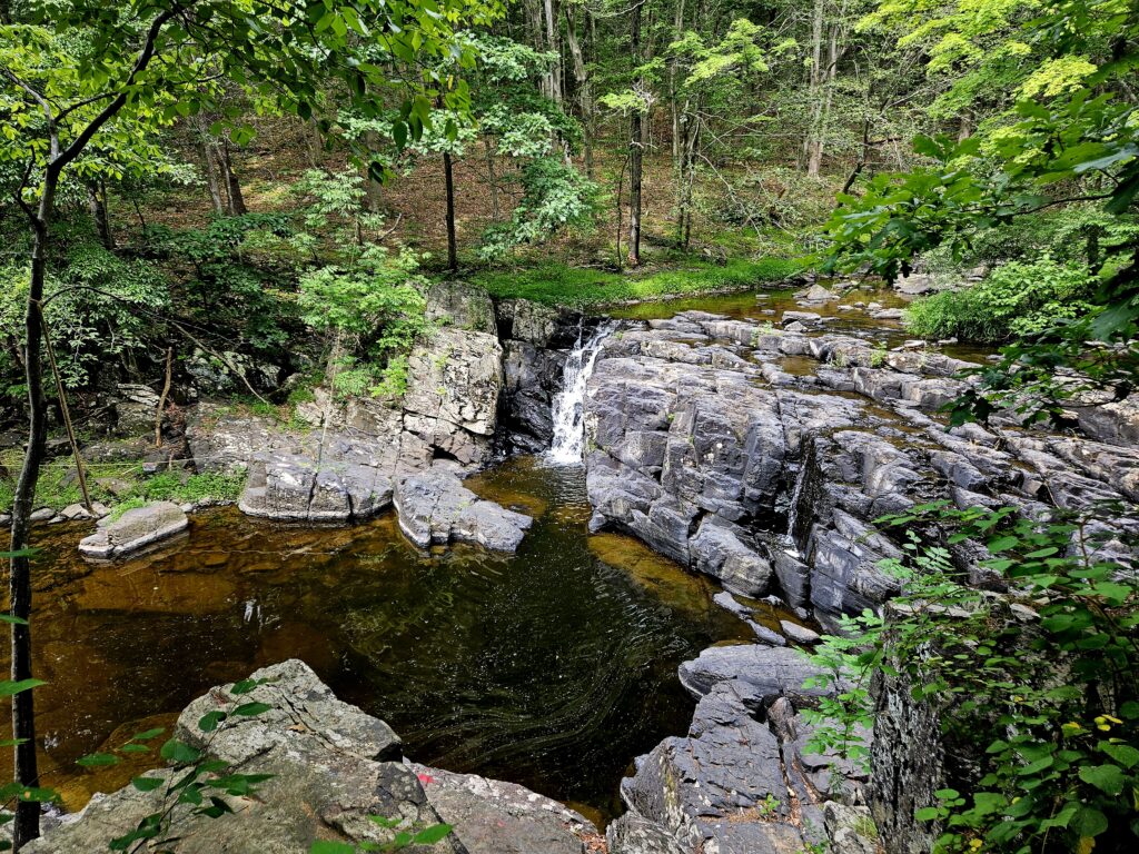
The trail itself ends overlooking the falls, but it is possible to climb down to get a closer look at the waterfall.
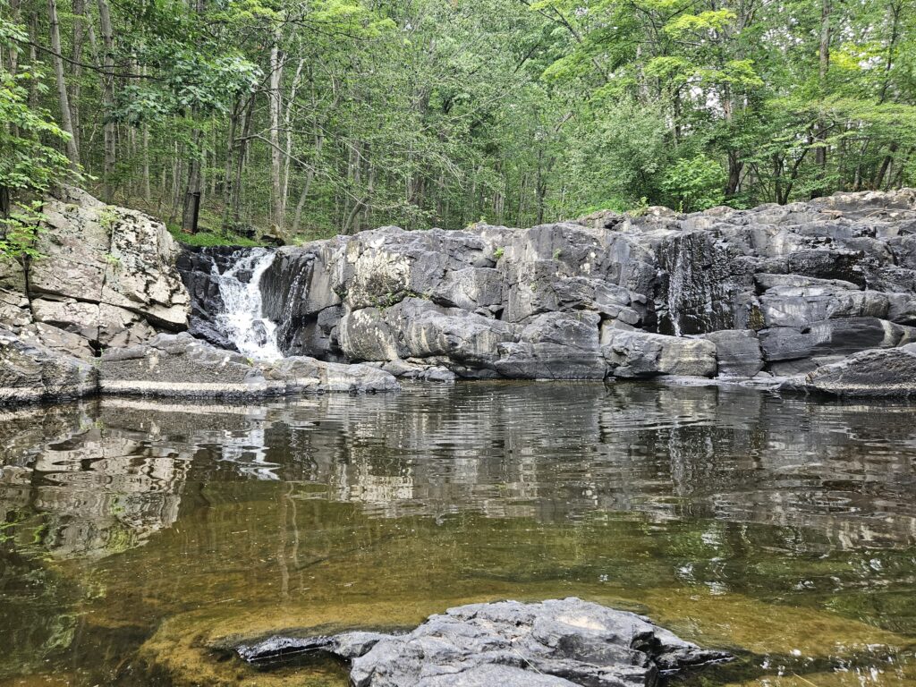
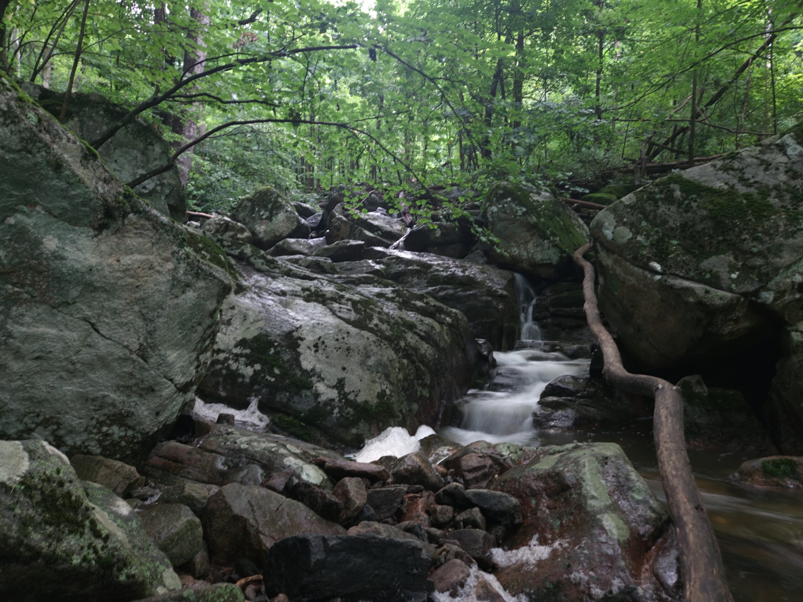
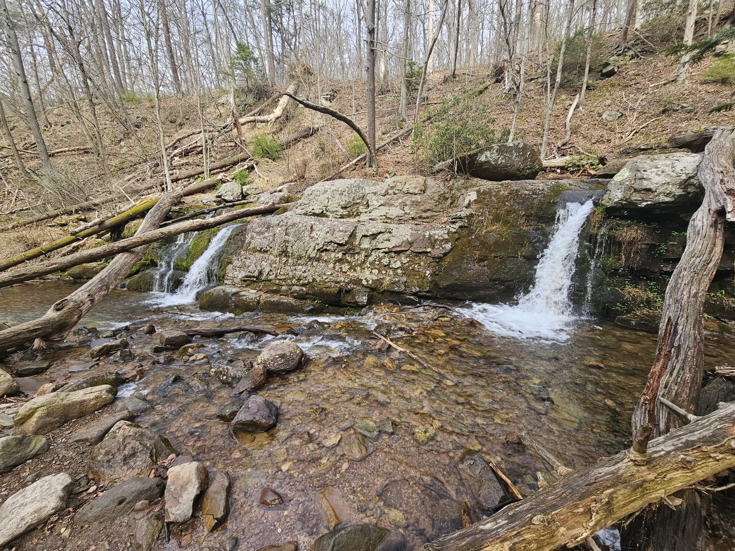
During times of high water, the waterfall extends across Lockatong Creek. Typically, though, water primarily flows off the far-left side. Reportedly, the first half of the hike is prohibitively muddy during those conditions. The waterfall is still scenic as is.
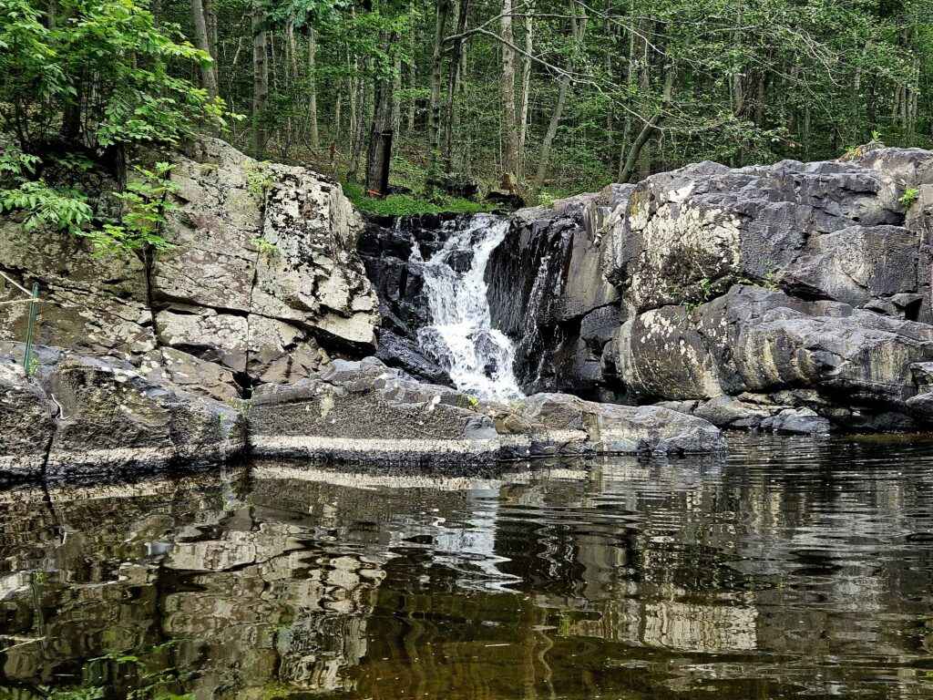
To the far right is a small, narrow channel where water cascades down, though it receives much less water than the main cascade to the left.
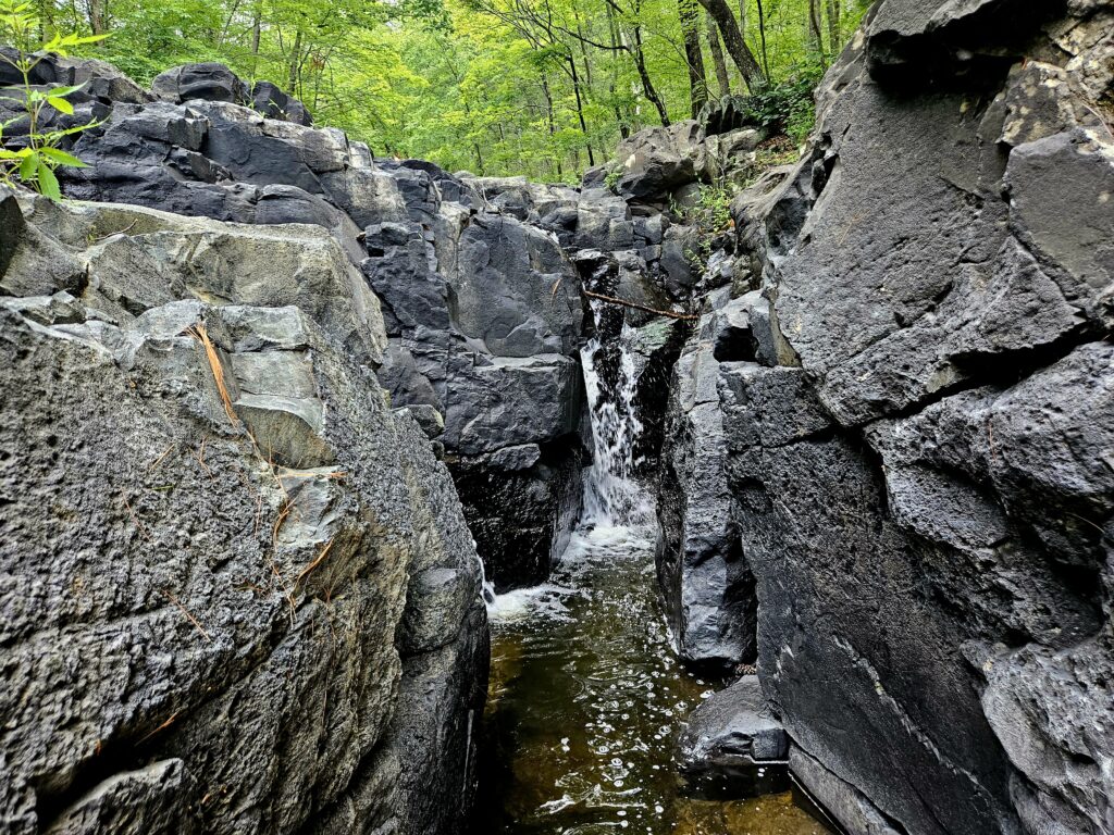
Private Property
While the waterfall and the natural surroundings are nice, one big detractor from the experience is private property. Immediately below the waterfall, on the opposite side of Lockatong Creek, is a very conspicuously posted section of private land. I also counted 4 trail cameras (with more likely) covering the land.
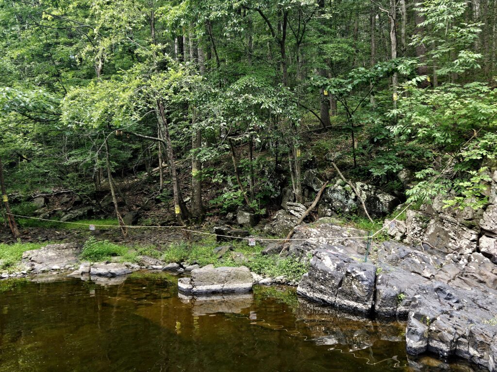
The property owner seems very protective; in 2025, there was a report online of a man who is likely the neighbor threatening people on that piece of land with a machete. While you can still enjoy the waterfall, the abundance of private property signage is an eyesore.
From here, you can either return the way you came or head upstream to a smaller waterfall. While the extra waterfall is nice, the main waterfall is much better. For most people, the initial High Falls is sufficient.
Bonus Blue Trail Hike to Upper Waterfall
If heading to the additional waterfall, locate the seemingly unofficial Blue Trail.
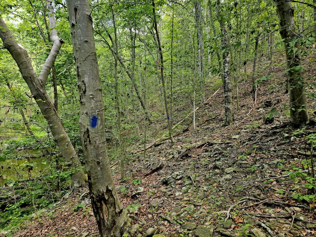
This trail is much rockier than the previous one and clearly less well-traveled. It can be a bit hard to follow at times, but it is easy enough to stay on course, since you have to follow Lockatong Creek upstream.
After about a quarter mile you will reach Upper Lockatong High Falls.
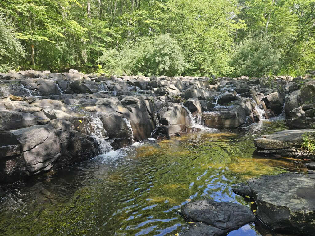
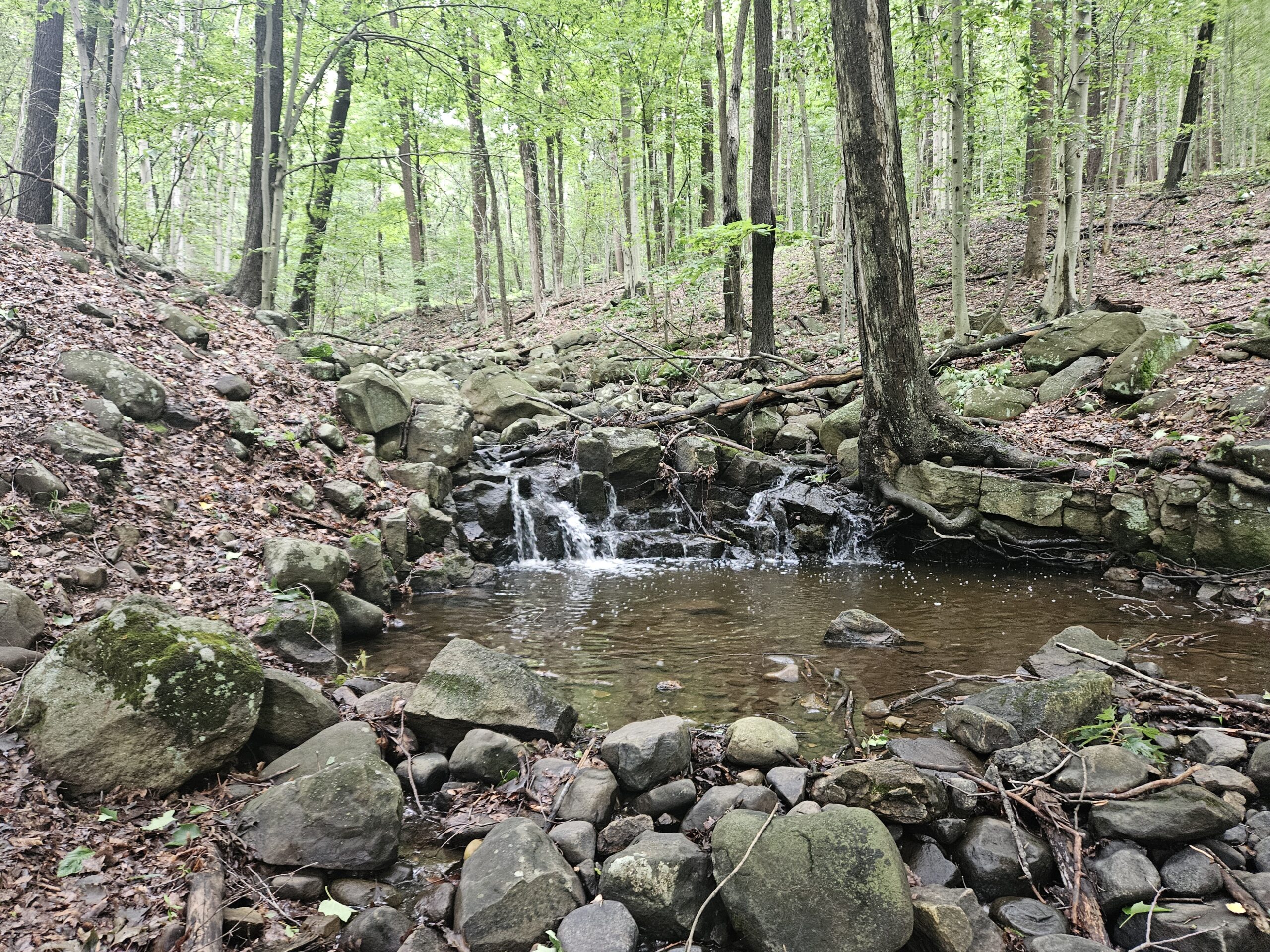
Upper Lockatong Falls is much smaller than the main falls downstream, at only about 6 feet high, but is still scenic. As with the main falls, Lockatong Creek is fairly wide, so while the waterfall isn’t tall, it is very wide. Interestingly, the waterfall runs diagonally across Lockatong Creek and, fortunately, faces toward the side of the creek where the trail is.
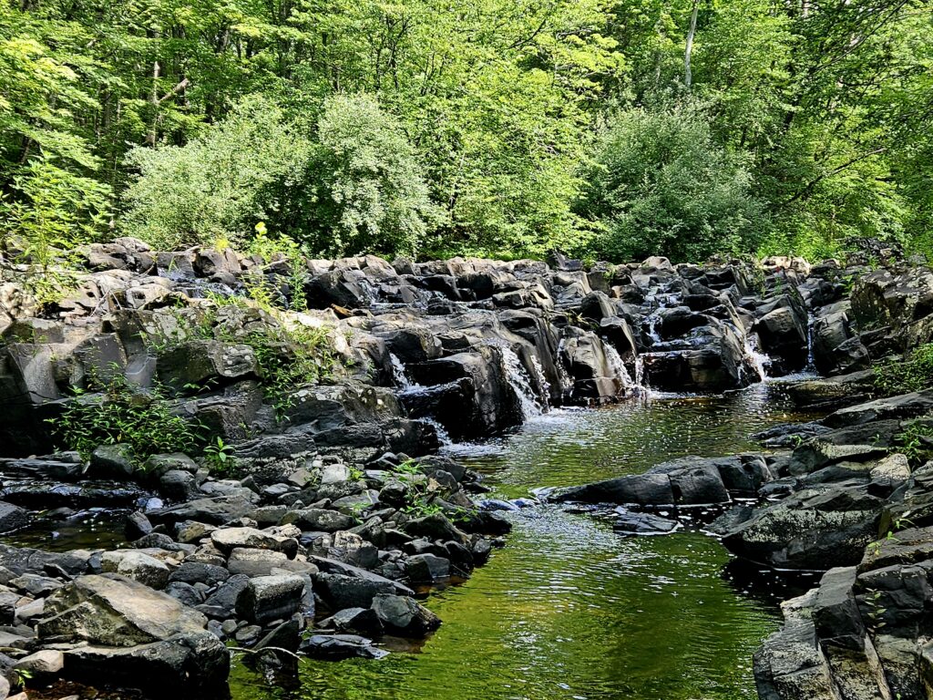
From here, I highly recommend returning to the parking lot in the direction you came. While the Blue Trail continues and eventually returns to the parking area, it becomes very overgrown and hard to follow. Despite being technically shorter to continue on the Blue Trail, returning the way you came will likely be quicker and will definitely be far more enjoyable.
GPS Route
Attached is the route as described above for reference. Additionally users can download the route to use on their preferred GPS. How to use the GPS routes on your phone.
Review
On its own, Lockatong High Falls is very nice and should be visited by fans of waterfalls, but there are numerous things that detract from the experience, including right at the start. First, the driveway to the parking area is rough and prevents potential hikers from visiting. Second, the amount of “Private Property” signs around the waterfall is a real eyesore. And third, the Blue Trail is absolutely terrible, requiring an out-and-back hike as opposed to a loop.

Leave a Reply