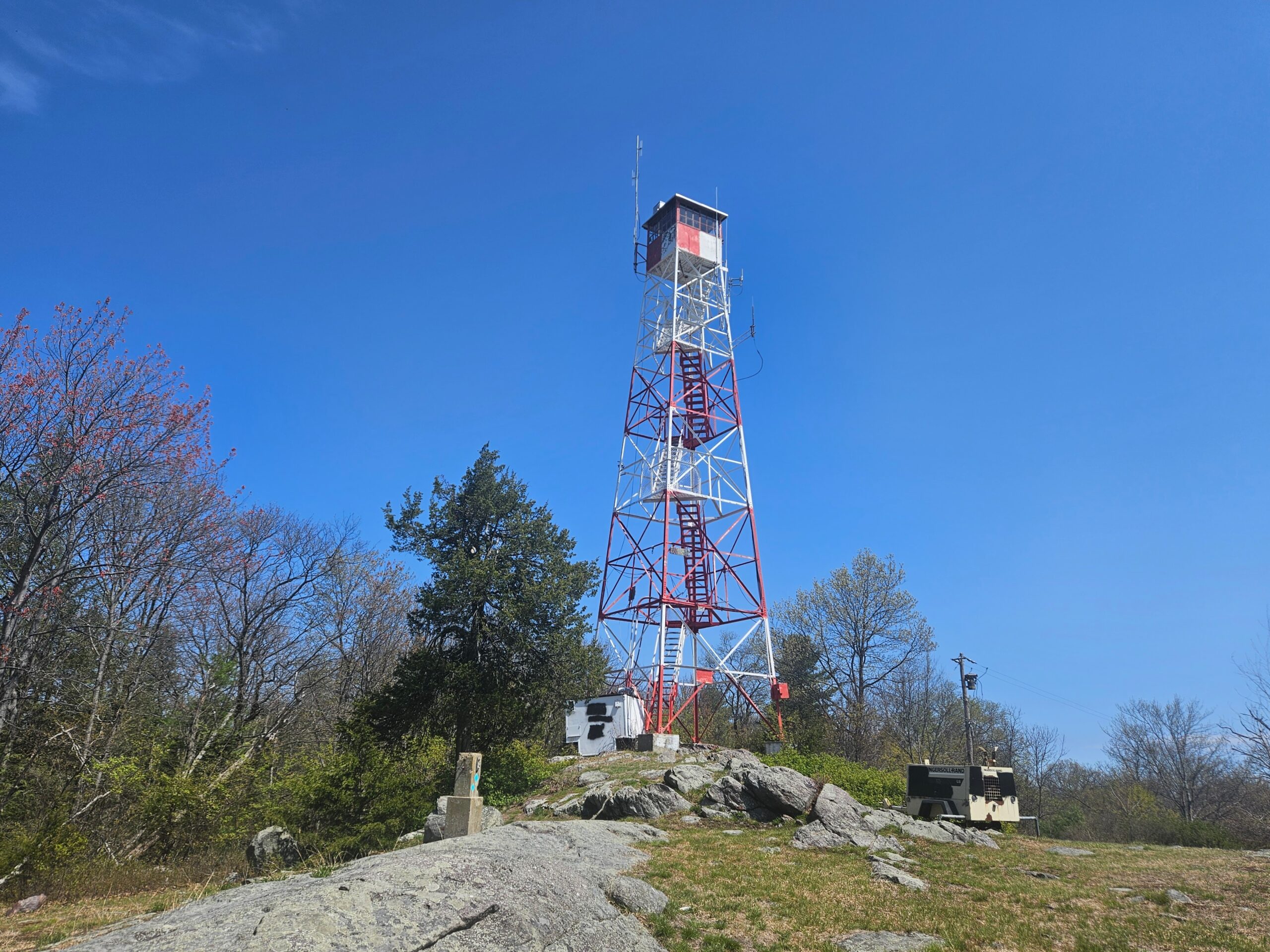
Located in Morris County’s Mahlon Dickerson Reservation, the Milton Fire Tower stands 80 feet tall and is one of the state’s 21 active fire towers. A moderate hike leads visitors to the tower’s base, where adventurous hikers can climb to the top. Along the trail, you’ll pass the remains of Snow Bowl, a small ski area that closed in the 1970s. Continue reading to learn more about visiting the Milton Fire Tower.
Mahlon Dickerson Reservation
Location: Jefferson, Morris County
Restrooms: Occasionally, there is a portable toilet on site
Hike Information
Distance: 3.1 miles
Ascent: ~500 feet
Difficulty: Moderate
Attached is the route as described below for reference. The elevation profile and route were created on AllTrails. Users can download the route to use on their preferred GPS. Click here for information on how to use the GPS routes on your phone.
Background
Milton Fire Tower
The Milton Fire Tower is one of 21 active fire towers located throughout New Jersey. Trained forest fire observers staff these towers during peak fire season, which typically runs through the spring months of April and May and the fall months of October and November. According to the State of New Jersey, observers in these towers spot half of all forest fires across the state.
The Civilian Conservation Corps built the Milton Fire Tower in 1937, a public relief program created to combat high unemployment during the Great Depression. Standing 80 feet tall, it is the second tallest fire tower in Division A, which covers northern New Jersey. The New Jersey Forest Fire Service notes that observers at Milton can see all seven other towers in Division A on a clear day, though we cannot confirm this based on our own visits to the site.
Snow Bowl
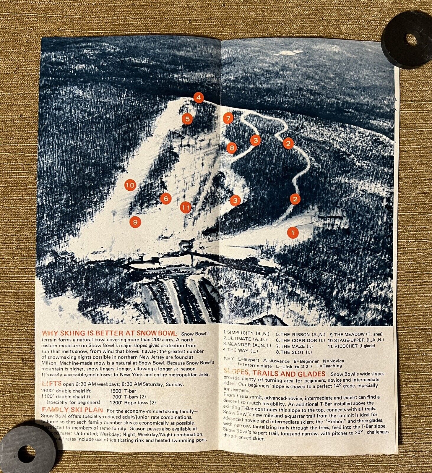
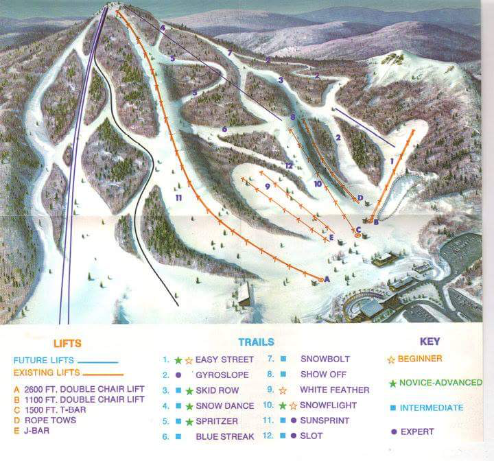
Snow Bowl was a short-lived ski area located on Bowling Green Mountain, slightly west of the Milton Fire Tower. Operating from 1964 until 1974, the hill offered a 470-foot vertical drop and eleven marked trails (although only a handful provided a true continuous route down the mountain).
To accommodate guests, the facility featured two chairlifts, a T-bar lift, snowmaking, night skiing, and ambitious expansion plans. Despite this, Snow Bowl struggled and closed after just a decade in operation due to competition from larger nearby mountains such as Vernon Valley and Great Gorge (now known as Mountain Creek) and unusually warm winters in the early 1970s.
The Hike
The hike to the Milton Fire Tower and back spans 2.6 miles and features nearly 500 feet of elevation gain. By adding an extra half mile with minimal additional elevation, hikers can also explore the Snow Bowl Trail. The route consists mostly of gravel and dirt roads, remaining relatively level for the most part except for a significant climb up Bowling Green Mountain. Although this ascent follows an “easy” ski trail, it is still somewhat steep.
Those who want to explore the remnants of the Snow Bowl Ski Area will find no marked trails in that section. The old ski runs vary in condition, ranging from relatively clear paths to rocky and heavily overgrown terrain.
The Hike to the Fire Tower
From the parking area, go around the gate and follow the obvious gravel road. There are no traditional markers on the trail, but there are occasional “Fire Tower Trail” signs along the route.
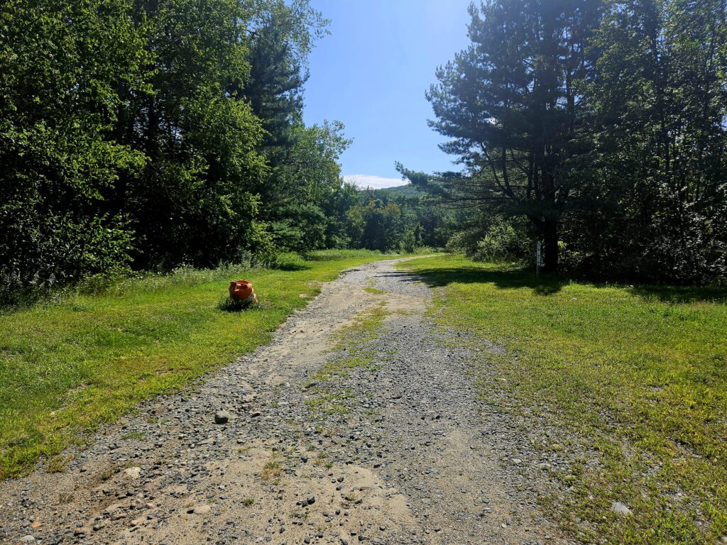
Continue following this trail until it enters the woods. After about a quarter mile, the trail begins to rise up Bowling Green Mountain.
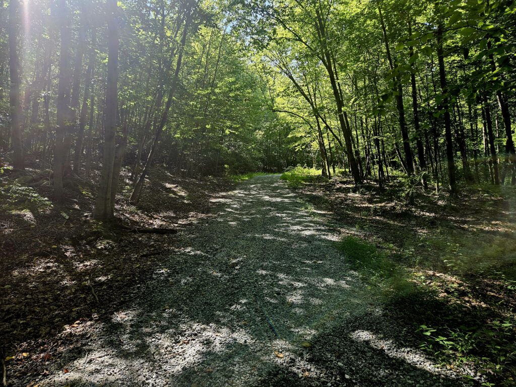
Although it follows the former “easiest” trail from the summit (the Meander Trail), it’s surprisingly steep. It’s not challenging, but it’s steeper than expected.
At the top of the road, you will reach a fenced-off radio tower.
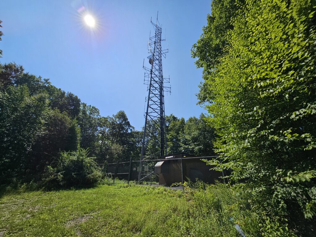
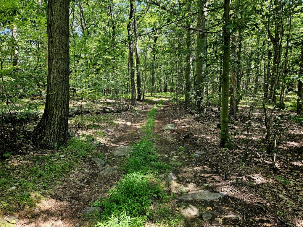
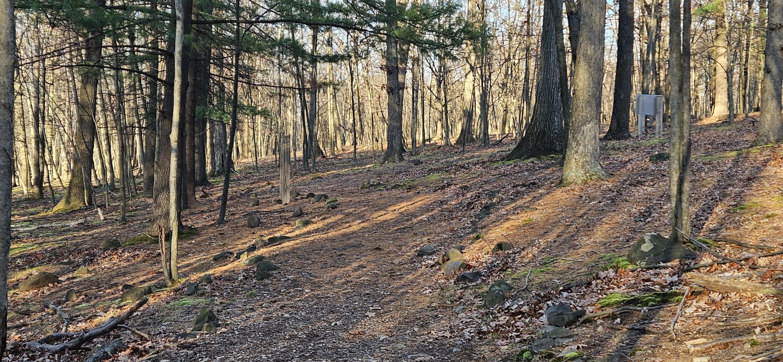
After the radio tower, the road transitions from gravel to dirt, though it still is still very easy to follow. The trail is also nearly completely flat from this point to the tower.
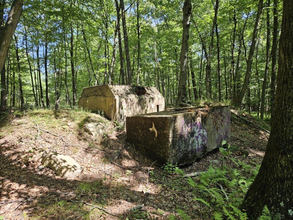
Just after the radio tower, you will reach the summit of Bowling Green Mountain and the former top of the Snow Bowl ski area. There is no view here; the only markers are tree clearings from former trails and a large concrete block (a counterweight) that was part of the old chairlift.
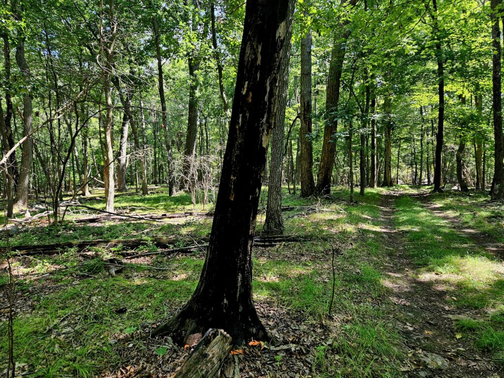
From the top of the old ski area, it is a half-mile walk to the base of the fire tower. If you are wondering whether a fire tower is really needed in this part of New Jersey, the trail passes through an area that a small forest fire burned.
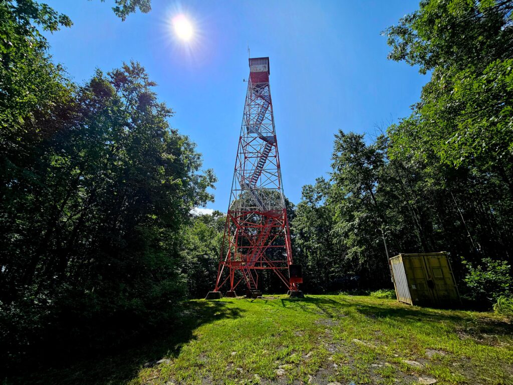
1.3 miles from the parking area, you will reach the Milton Fire Tower.
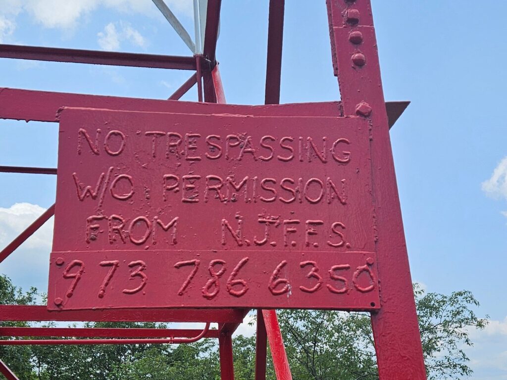
As with all fire towers in New Jersey, there is a small and not-very-obvious “No Trespassing” sign. There is no other gate or barrier to entry besides the locked top cabin. I have never heard of any issues climbing any tower in New Jersey, and if staff are present, they typically let you enter the cabin at the top.
At 80 feet, the Milton Fire Tower is the second tallest in northern New Jersey (after the Greystone Tower, which you cannot hike to). If you’ve climbed other nearby fire towers, you’ll notice the Milton Fire Tower is taller; it feels like it never ends.
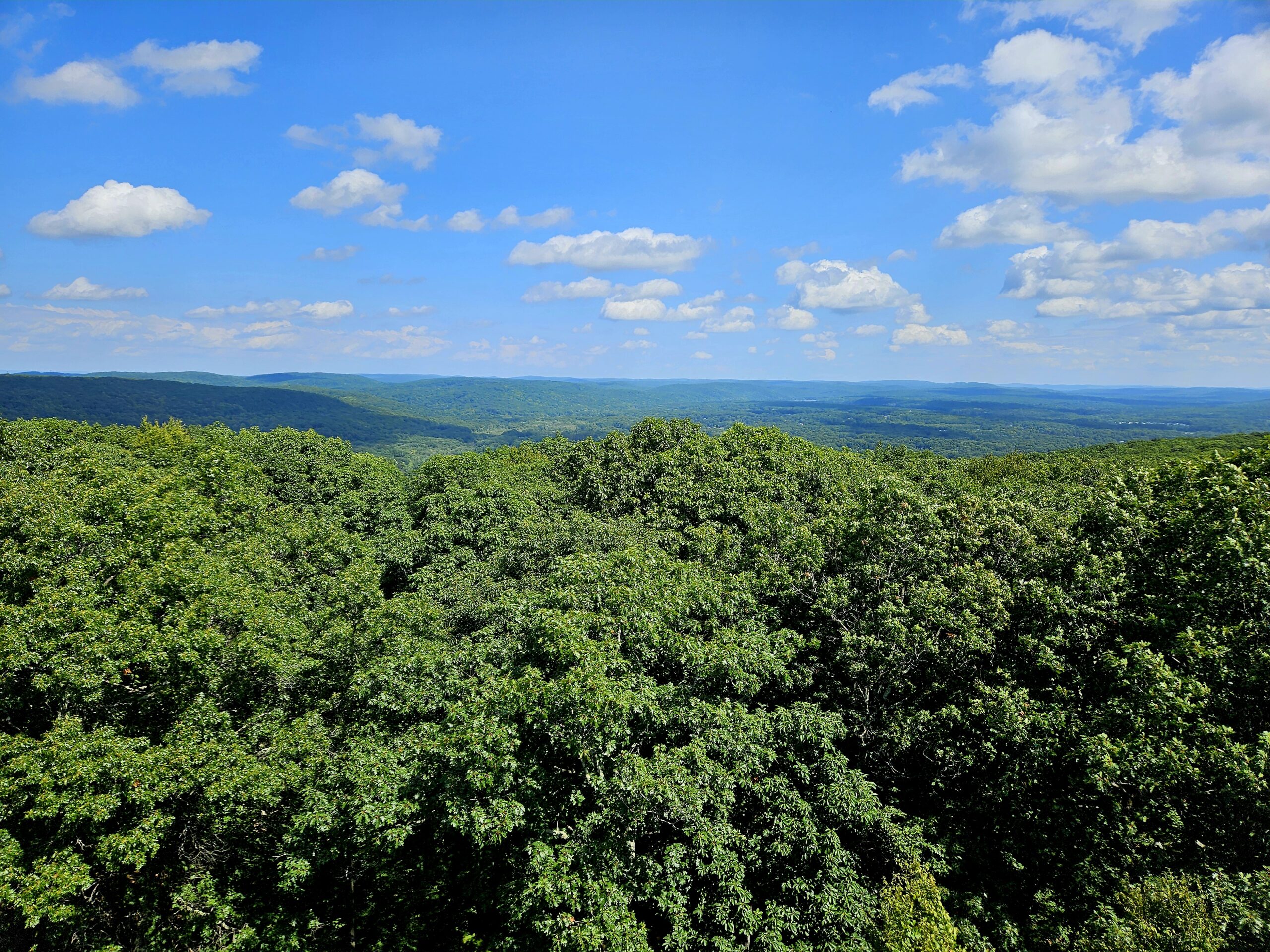
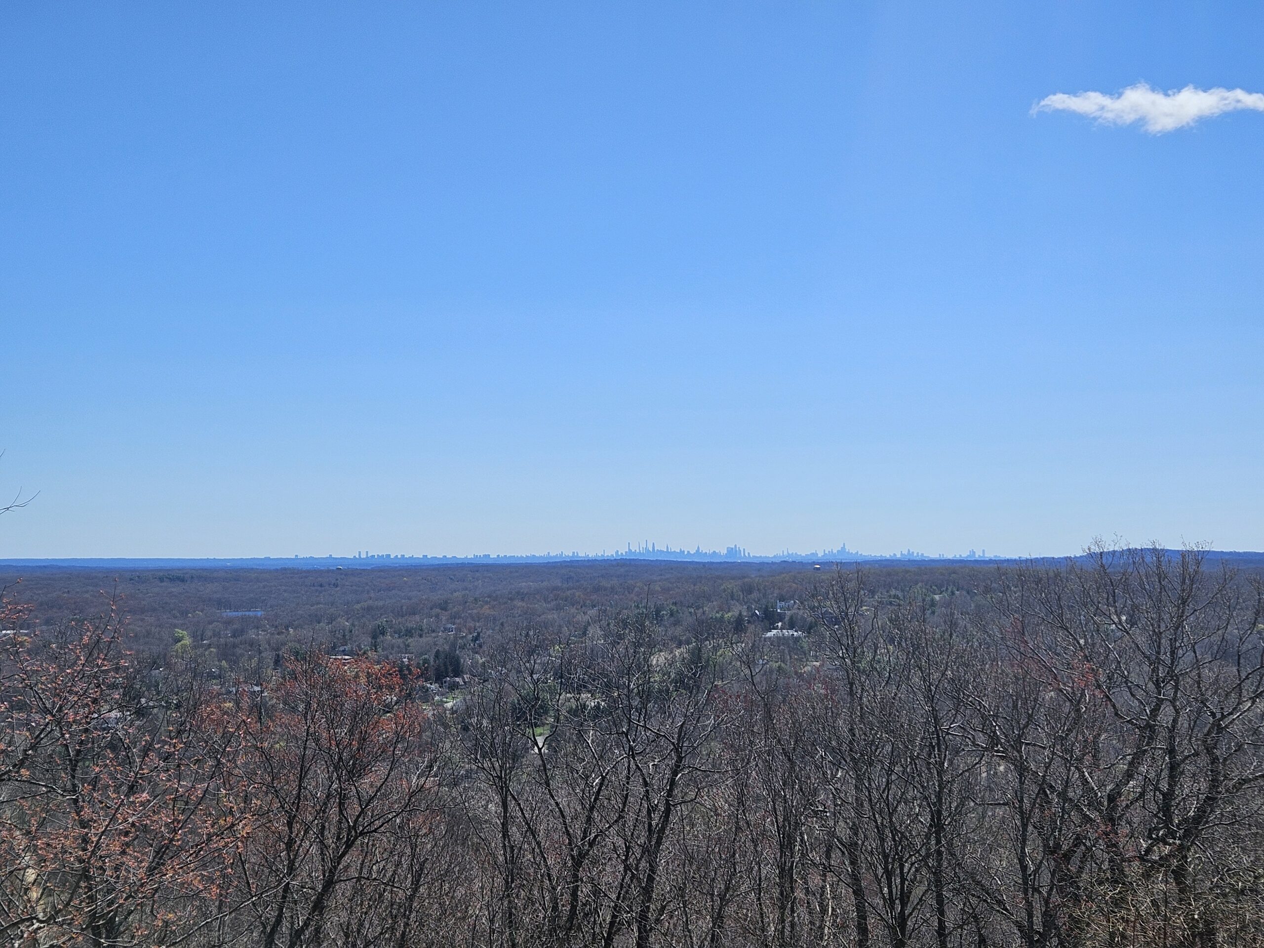
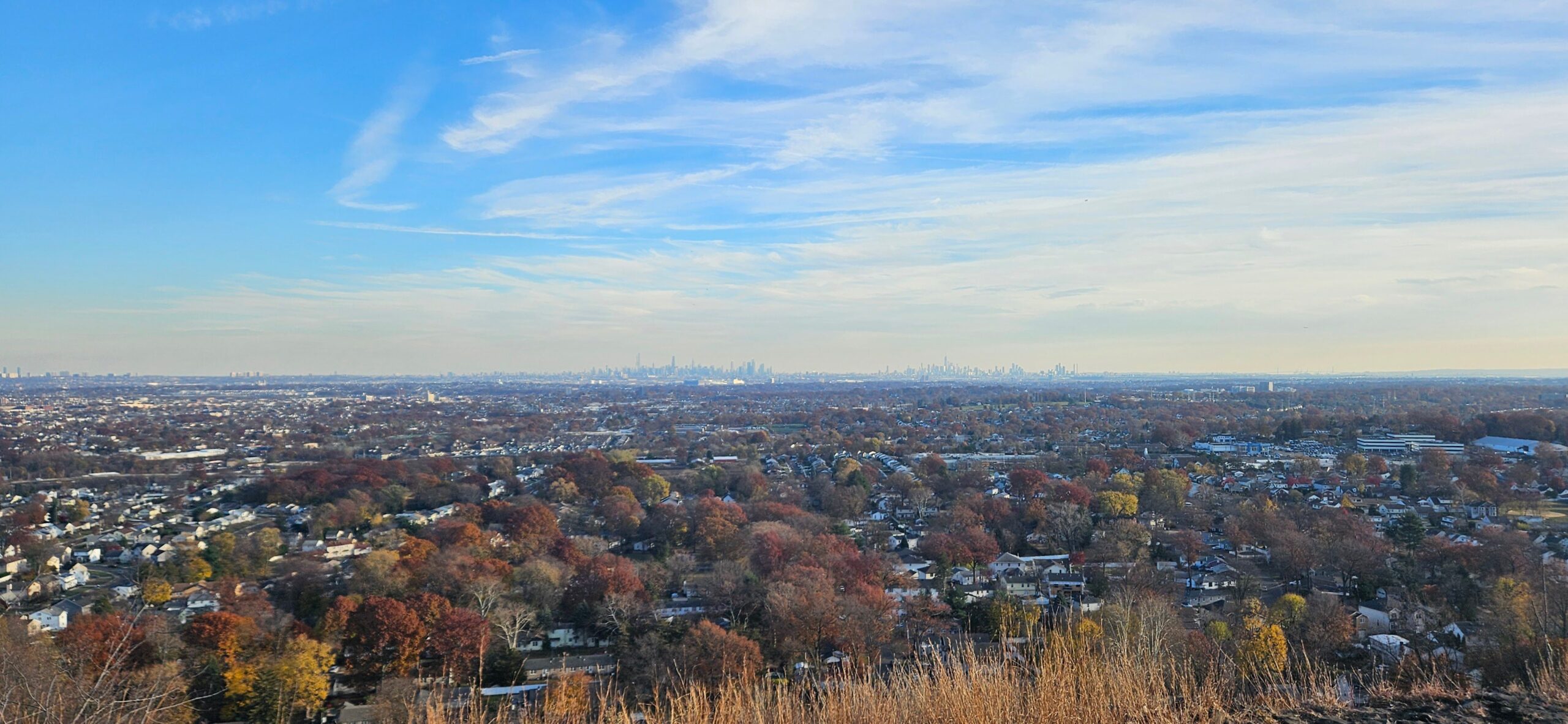
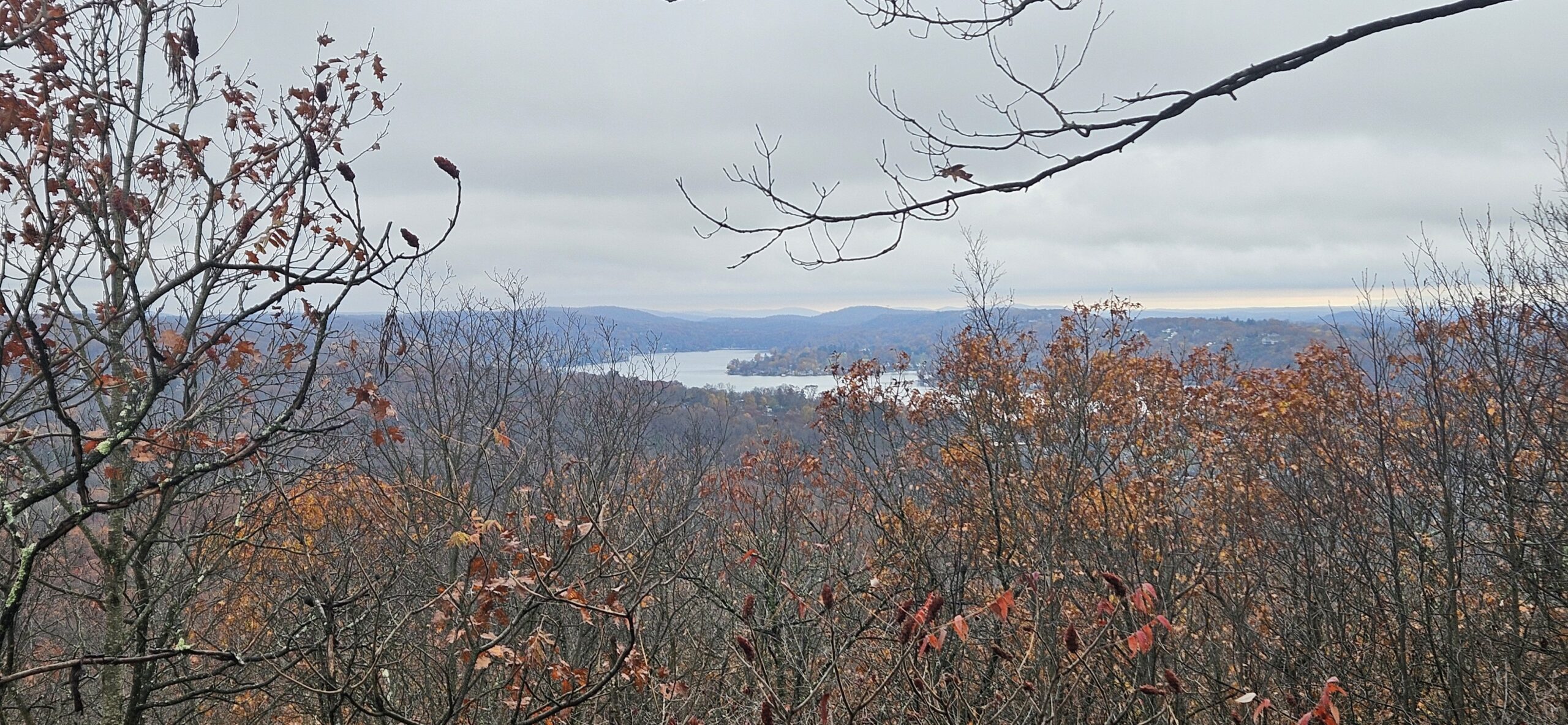
Once you reach the top, the extra height becomes clear: even at 80 feet, the tower feels barely above the treeline. This also means the view isn’t as good as from other towers in the state.
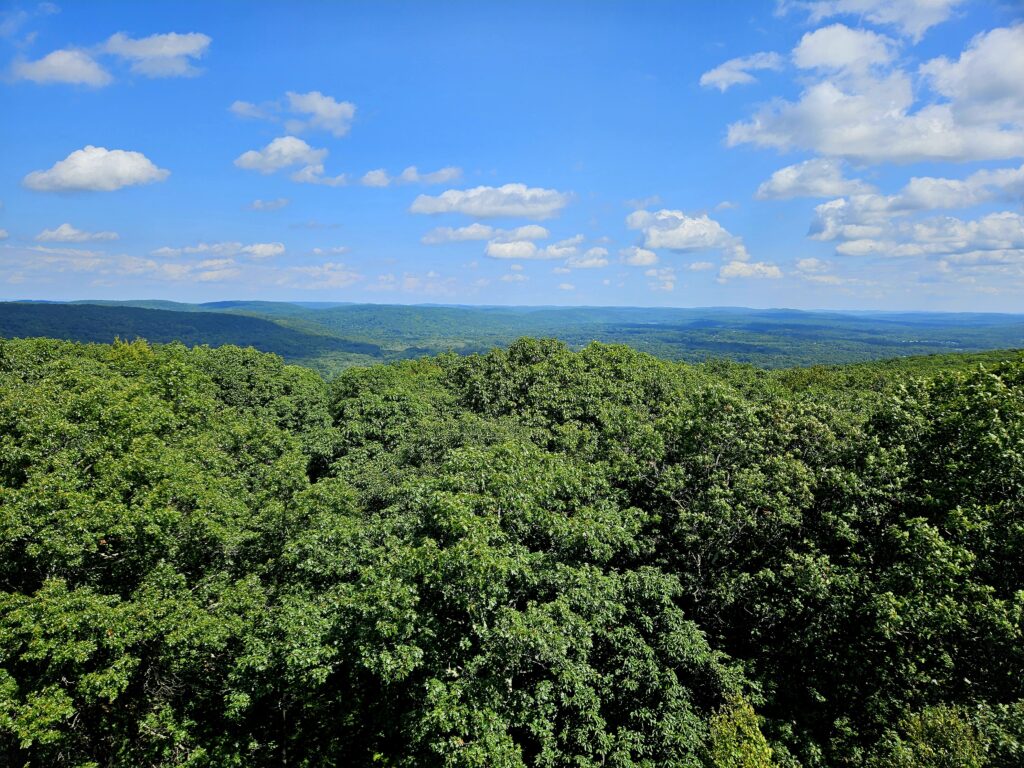
From this perspective, the surrounding topography appears relatively flat, and the foreground consists of the aforementioned tall trees.
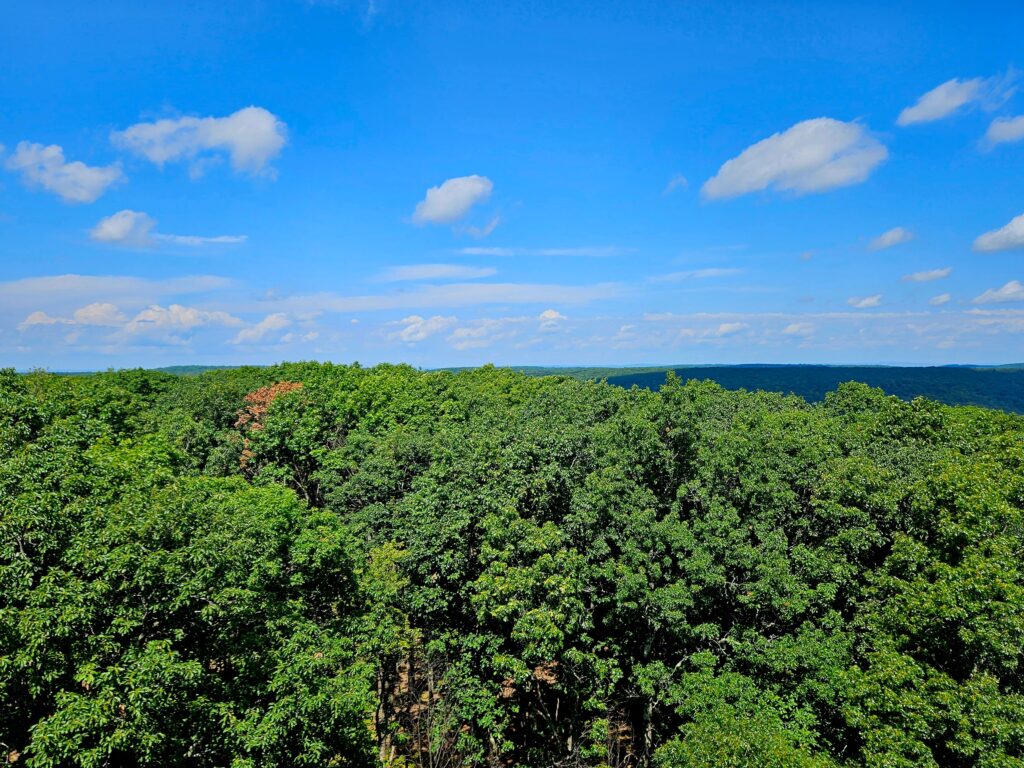
When you’re done taking in the view, work your way down the tower. As with the climb up, you can tell it’s definitely taller than most in the area. If you are afraid of heights, I’d recommend skipping the climb, since the way down is much worse.
Once at the bottom return the way you came, as there are unfortunately no other marked trails in the area. When you pass the top of Snow Bowl, you can either return on the road you arrived on or explore the ski area ruins.
Snow Bowl
Since the Snow Bowl closed over 50 years ago, in 1974, little remains today. Some of the cut trails remain, though none are marked. From the top of the former lift, you can hike down to remains of the “Stage” trail.
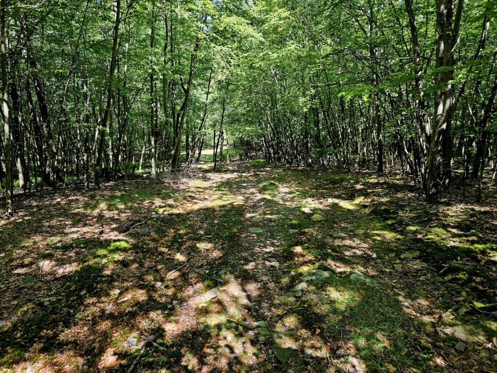
You might notice that some of the trails are in surprisingly decent condition and free of growth. Some people unofficially maintain the trails for the rare events when New Jersey gets enough natural snow. The trails are very rocky, and I would not attempt skiing or snowboarding here unless there is an excessive amount of snow.
Surprisingly, some of the trails actually feature small cliffs.
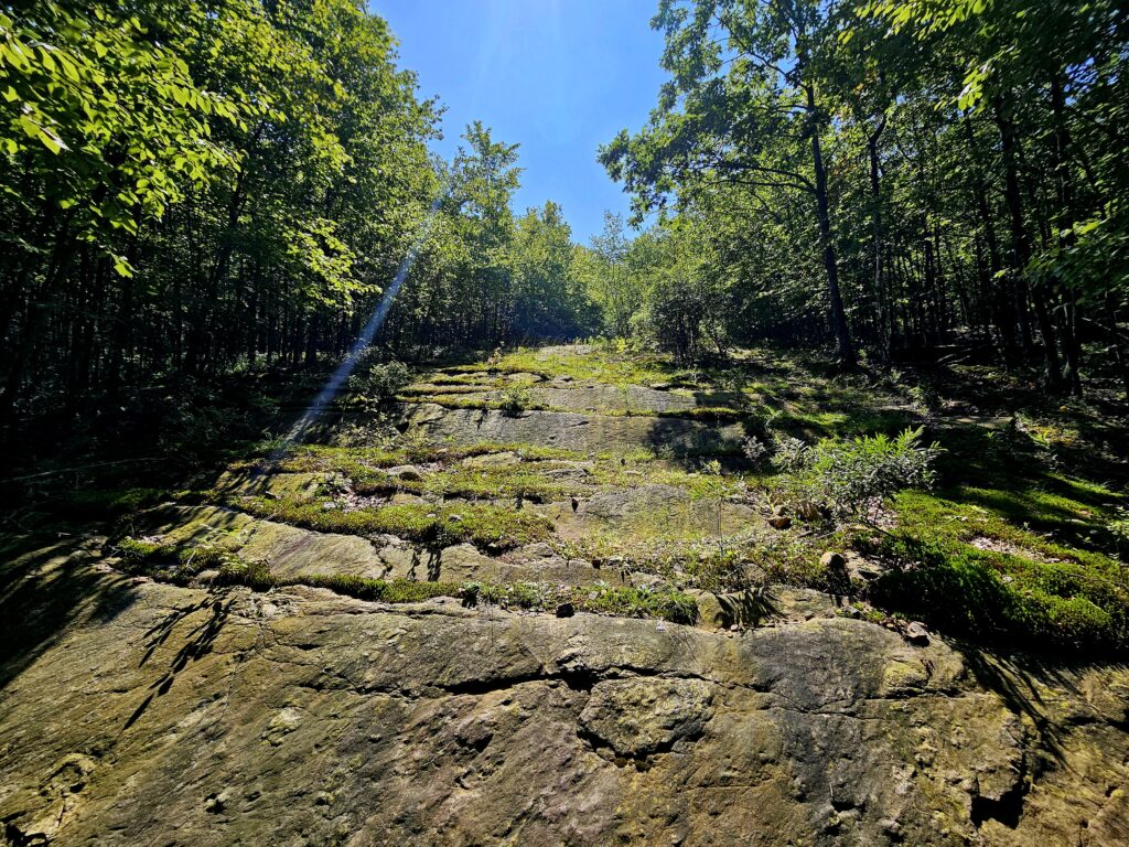
If you follow the former lifeline for the chairlift, you can really appreciate how much time has passed. The former route is now full of moderately sized trees.
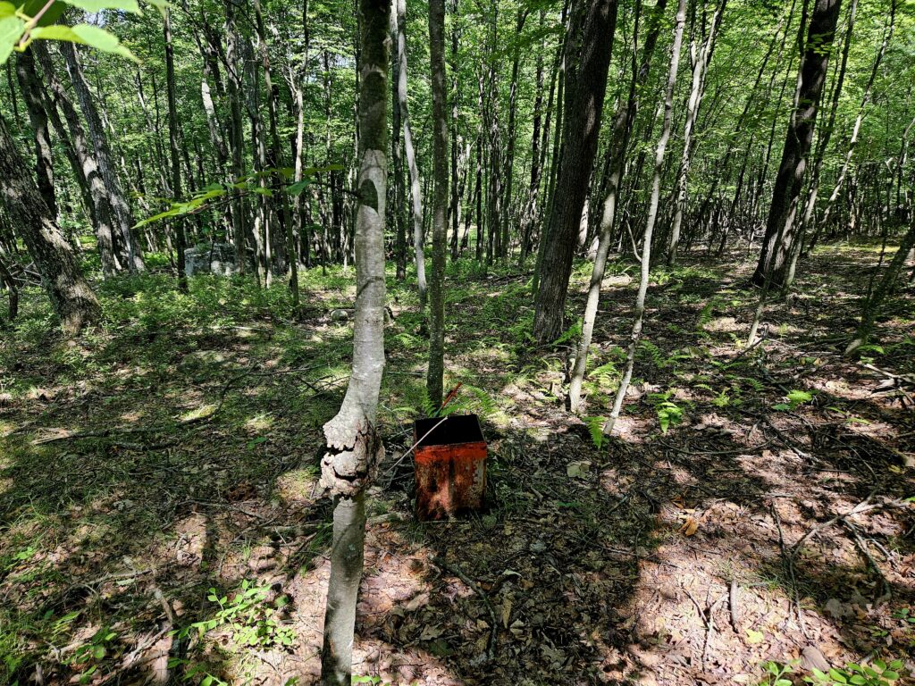
Unlike the trails, the base of Snow Bowl is a little overgrown. Even with the overgrowth, you can find the remains of multiple lifts, and it is still worth exploring.
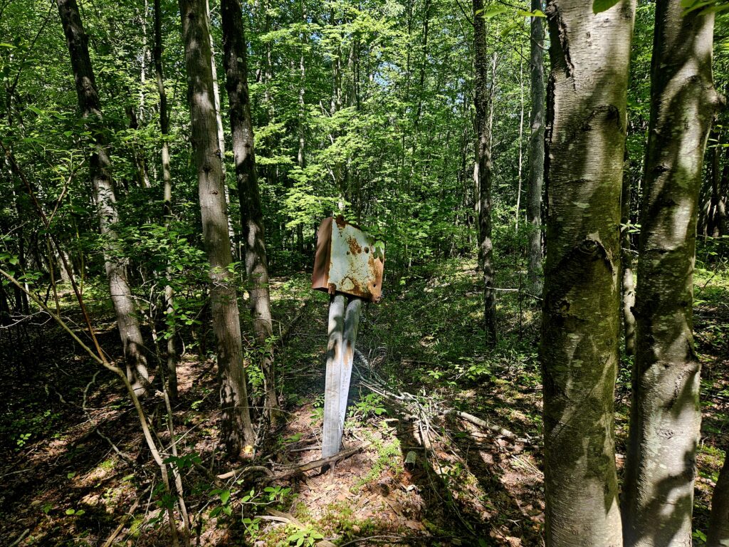
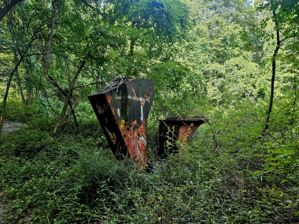
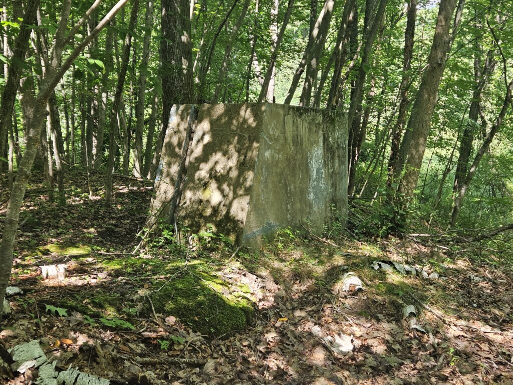
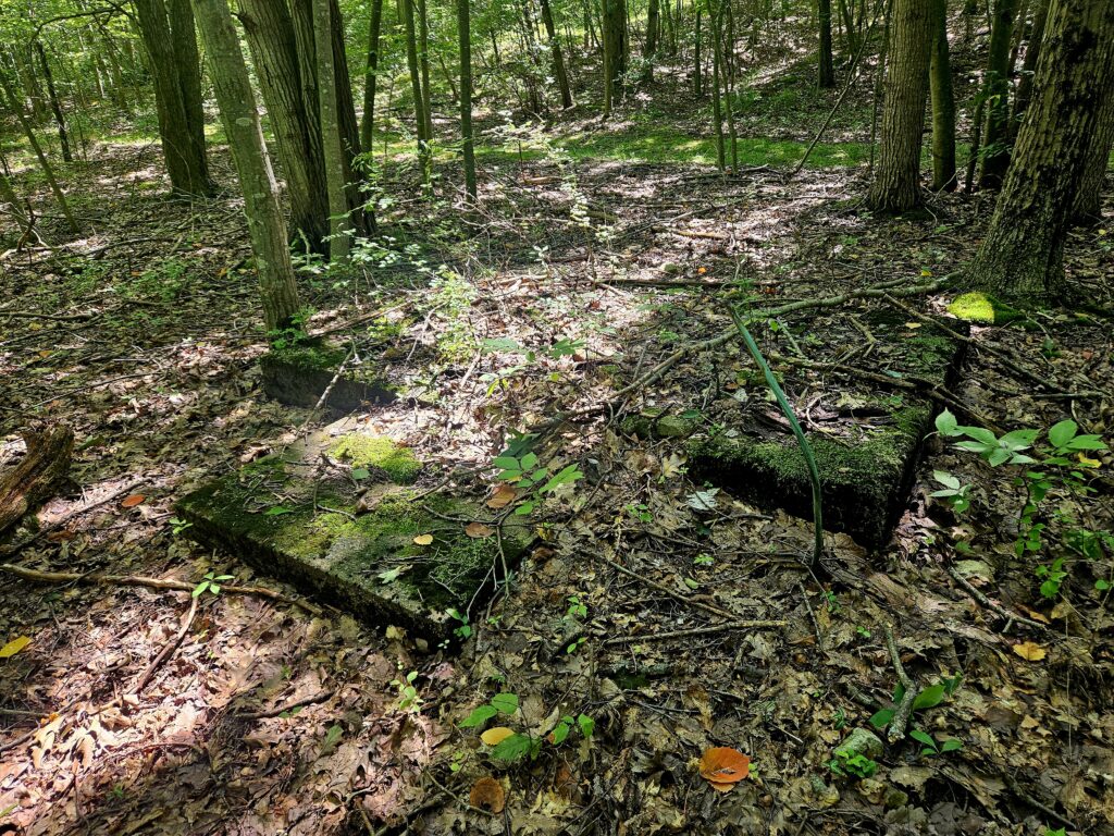
Unfortunately, aside from the points mentioned above, very little remains of Snow Bowl today.
Near the base, you can find the gravel cross-country track for Jefferson High School. When you get there, turn left (if descending the ski trails), and you will soon reach the Fire Tower Trail.
Snow Bowl Trail
At the base of the mountain, on the Fire Road Trail, you will see the Snow Bowl Trail to the left (when returning to the parking area). Despite the name, this trail does not go through the old Snow Bowl ski area. This trail is an alternate route to the parking area. Turn left to begin the trail (or simply return to the parking area the same way you came).
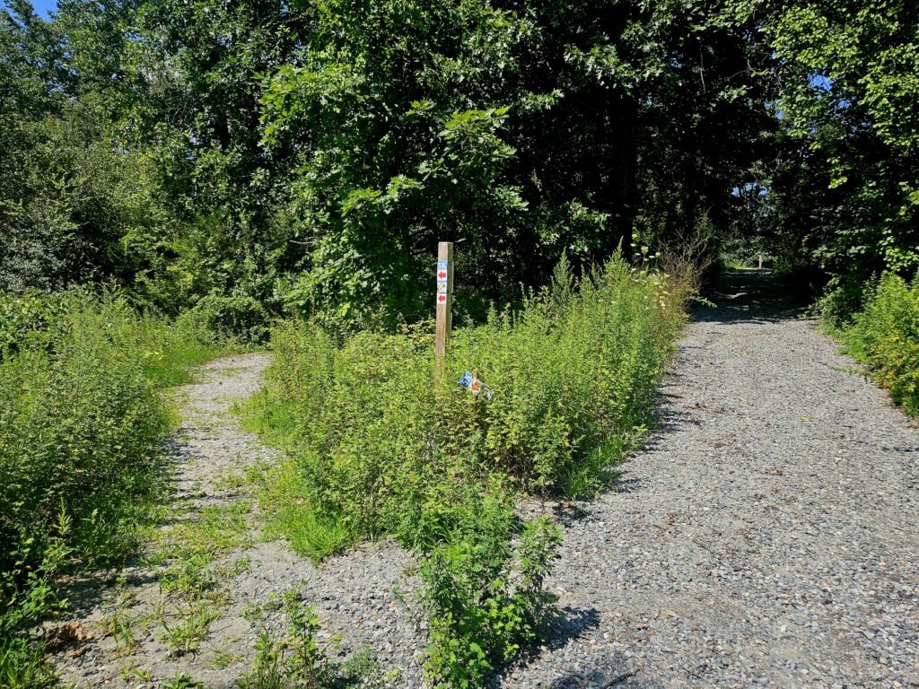
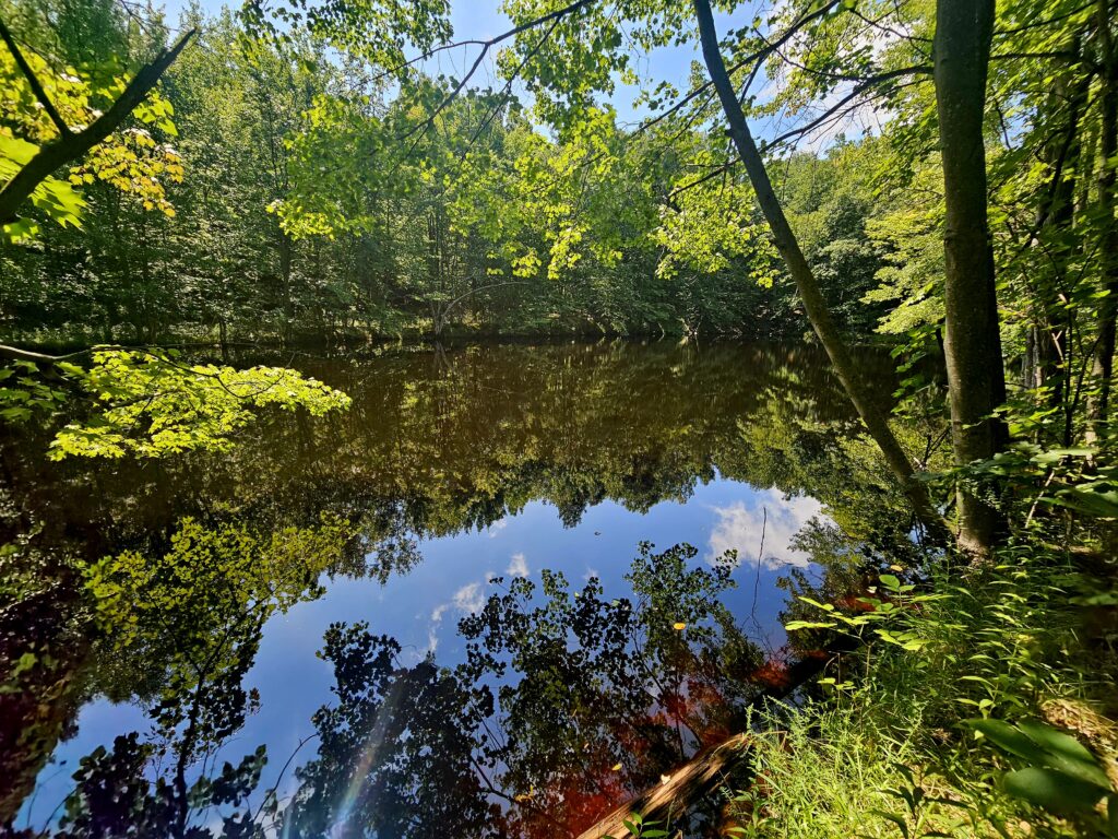
After a couple hundred feet, you will reach the only remnant of the ski area on this trail: a snowmaking pond. This pond held water for snowmaking in the winter.
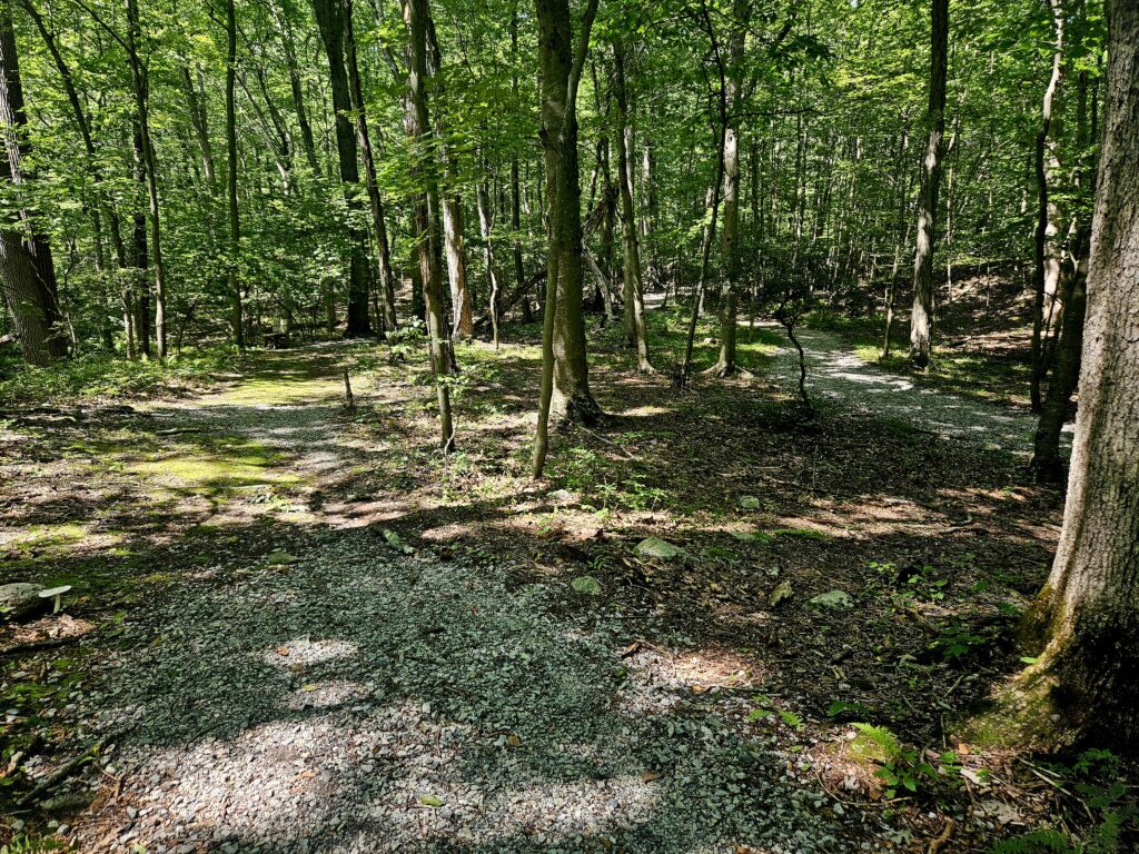
This trail is also used as part of the Jefferson High School Cross Country Course. Unfortunately, that means that the trail needs to be long enough to be used for a 5K (3.1 mile) race. You will find the trail exceptionally windy to bump up the distance.
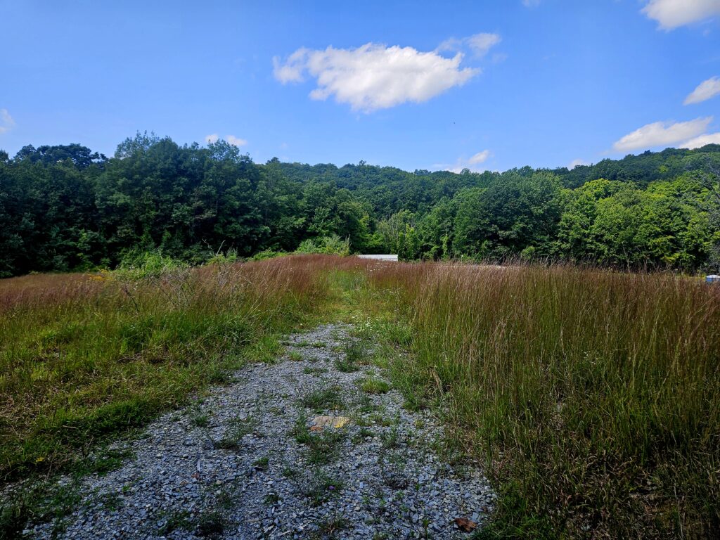
After winding you way through the woods, you will reach a large meadow, which the trail winds through.
The trail ends at another weird quirk of the park: a remote-control car track.
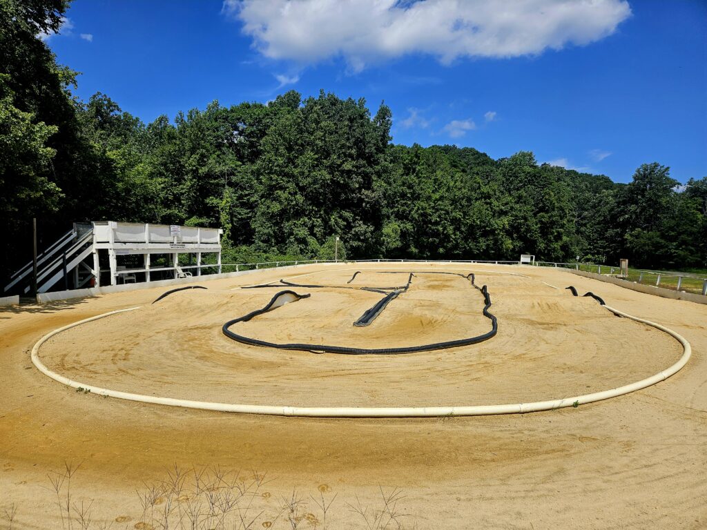
Unfortunately, this large track is for private use only despite being in a county park. Information of the track can be found at dirtrunners.com.
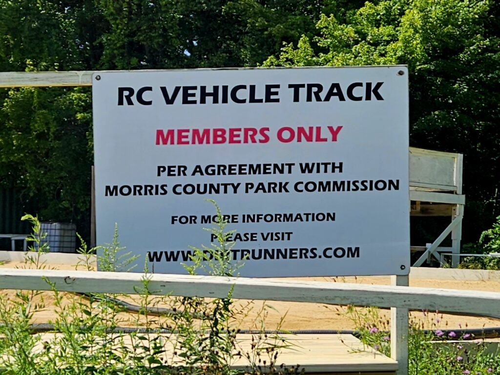
From the track, it is only about 500 feet to the car, ending the hike.
Review
The climb up to the Milton Fire Tower is quite enjoyable. While the view from the top is underwhelming compared to other New Jersey fire towers, climbing the structure is still fun. Also, though very little remains, it is still interesting to walk through the remnants of the Snow Bowl ski area. For more impressive fire tower views, we recommend the Bearfort, Culver, or Catfish Towers.


Leave a Reply