Description
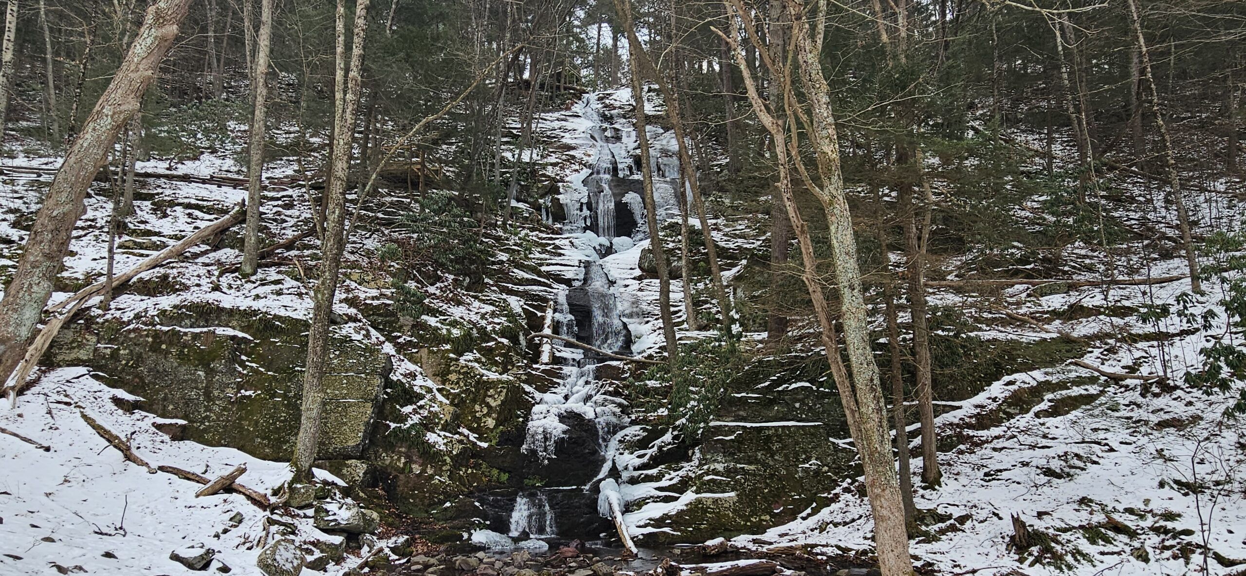
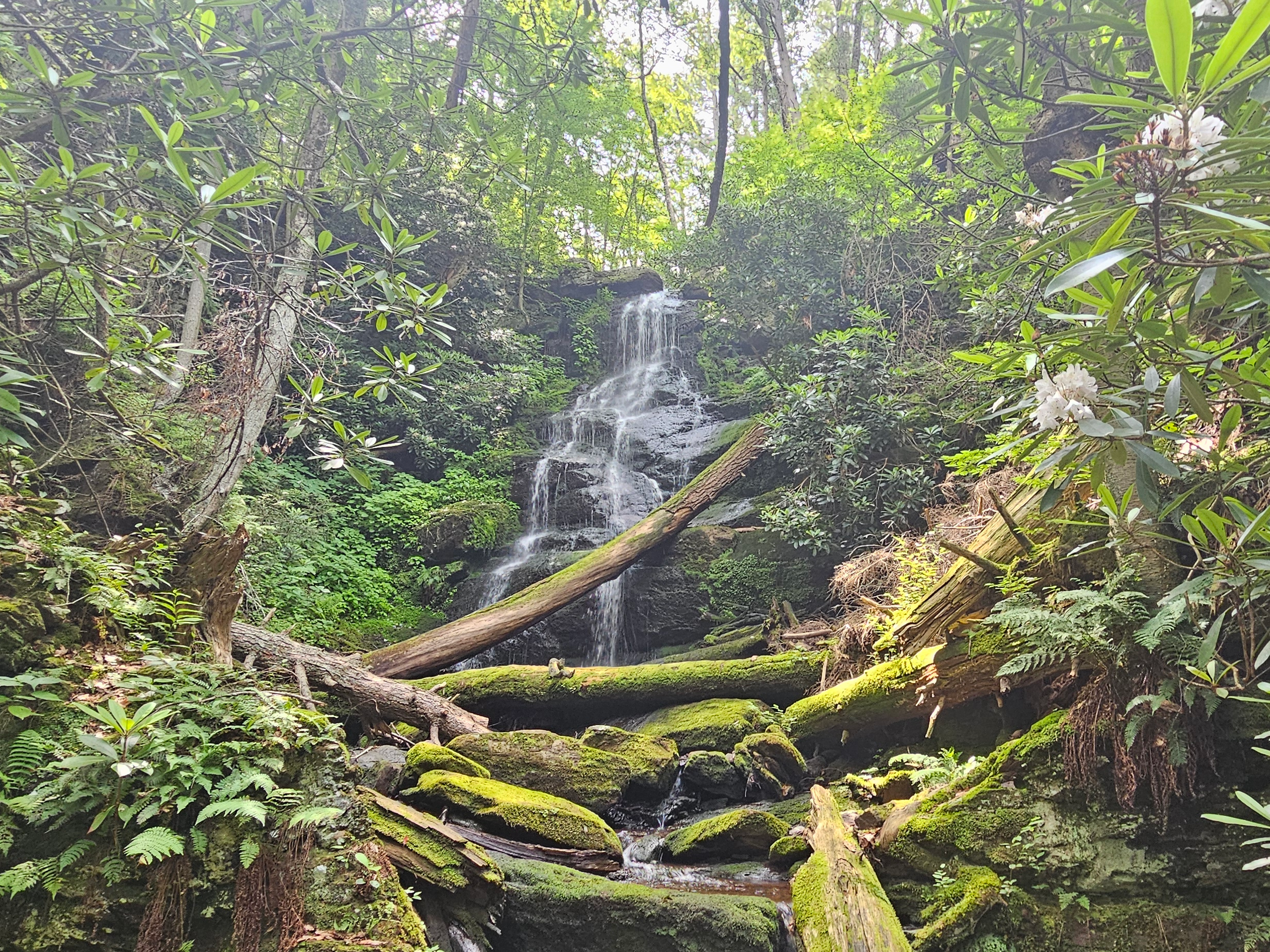
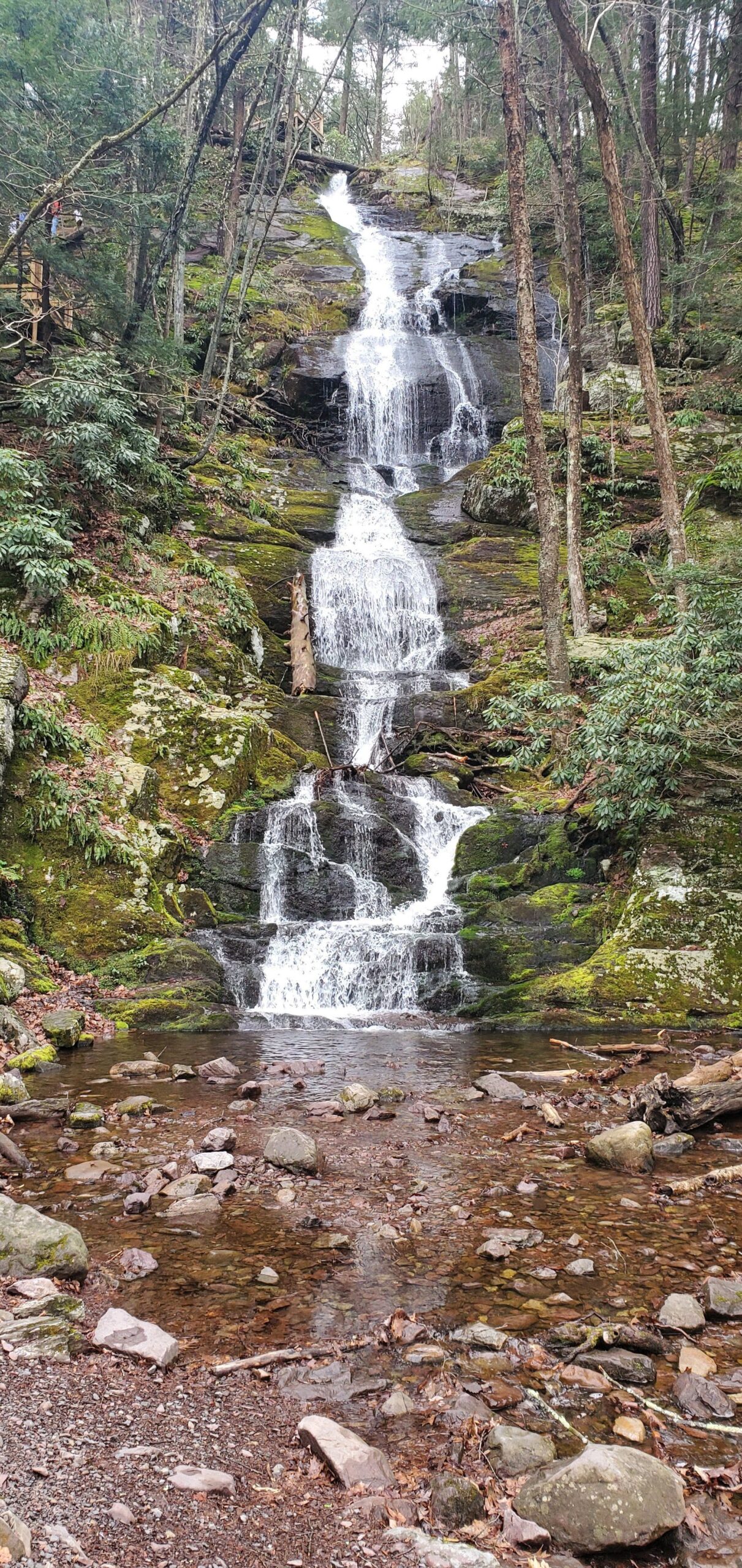
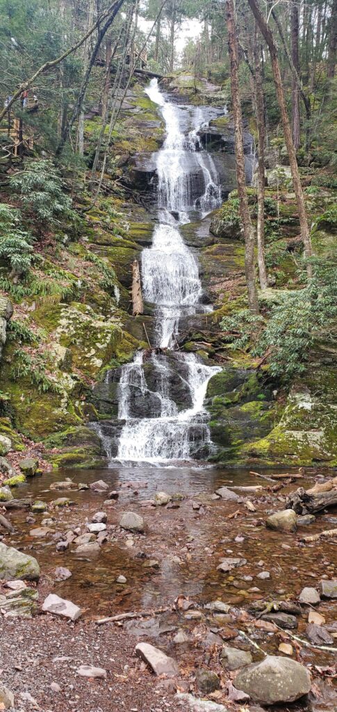
Buttermilk Falls is a tall waterfall in northwest New Jersey. At 130 feet, it is often called the tallest in the state. While that is not entirely true (in reality, the honor goes to Greenbrook Falls), this is still an impressive waterfall.
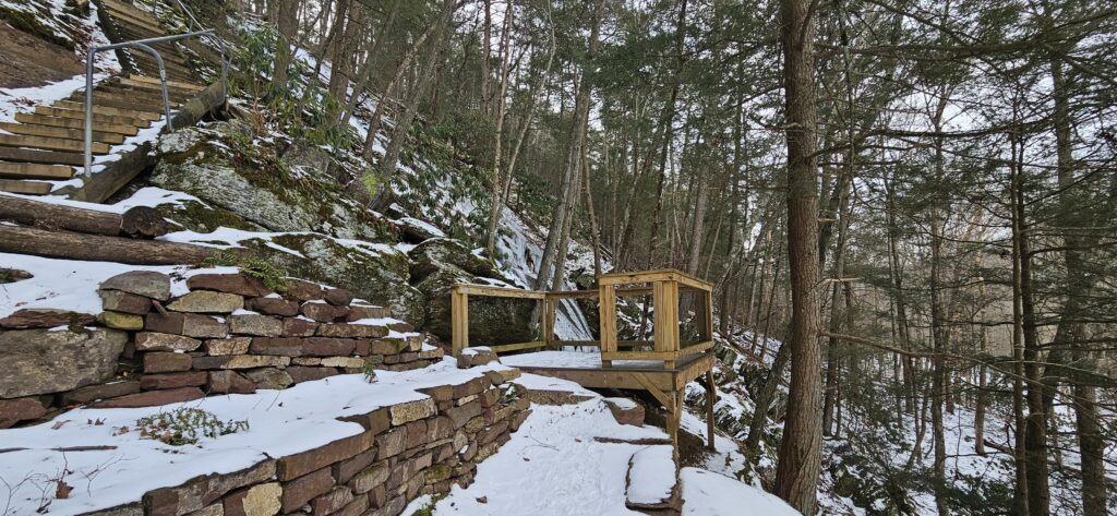
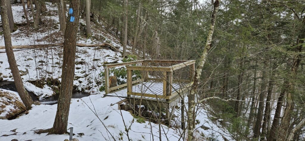
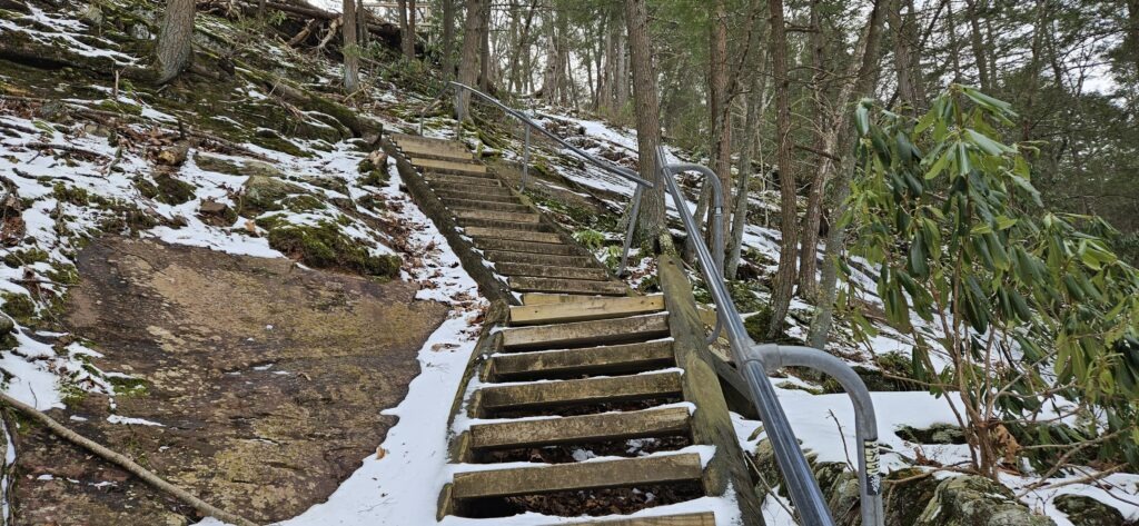
The waterfall is roadside (seasonally) and completely visible from the parking area. For those wanting an alternate view, a steep set of steps climbs up the side of the waterfall to two observation decks, though the view from the base is the best.
Buttermilk Falls is located on a ridge and features a small drainage area. For this reason, it is best to visit after prolonged or heavy rain, just note that the road to the waterfall will be covered in puddle-filled potholes during these times.
Directions
Unfortunately, road closures plague the area around Buttermilk Falls. Some of these closures are seasonal, while others are indefinite. While it is possible to reach Buttermilk Falls year-round, it is only accessible by car during the warmer months. Because Buttermilk Falls is in one of the least populated sections of the state and is surrounded by underfunded state and national parkland, don’t expect these roads to be repaired anytime soon, if at all.
As a result, reaching Buttermilk Falls is annoying and challenging despite the falls themselves being roadside. There are still a few ways to reach the waterfall; the easiest two are described below. Be advised that many GPS devices provide incorrect information, labeling Mountain Road as closed in the summer. The directions below are correct as of June 2026.
Driving (April 16-January 1 and when there is no snow on the ground):
- Turn onto Struble Road from Route 23, which is slightly across the street from the main entrance to Stokes State Forest.
- Follow the road for 5 miles until you reach a four-way intersection. This is the only such intersection on the road.
- Turn left at the intersection onto Mountain Road. Note: This is a poorly maintained dirt road. If you do not feel comfortable driving it, there are pull-off parking spaces before the road becomes unpaved.
- Follow Mountain Road for 2 miles until you reach a parking area for Buttermilk Falls on the right, where you will find the waterfall.
Haney Mills (year-round)
- Park at one of the pull-off parking spaces on Haney Mills Road.
- Walk down Haney Mills Road until you reach a bridge over Flat Brook.
- Hike on the road for 1.4 miles until you reach Buttermilk Falls
Buttermilk Falls (Walpack) Information
Click here for explanations on the information below
| Waterway | Unnamed Tributary |
| Drainage Area (square miles) | 0.55 |
| Drainage Area Size | Very Small |
| Height (feet) | 130 |
| Latitude and Longitude | 41.13700, -74.88908 |
| Location | Walpack Township, Sussex County |
| Type | Cascade |
| Best Time to Visit | Spring |
| Property Type | Public – Delaware Water Gap National Recreation Area |
| Ease of Access | Easy |
Note
This is one of four waterfalls named Buttermilk Falls in New Jersey. The other waterfalls are located in:
Posts Featuring Buttermilk Falls (Walpack)

The 10 Best Waterfalls in New Jersey
Did you know that New Jersey is home to over 80 incredible waterfalls? With that many waterfalls, it can be hard to determine which ones are the best and most worthwhile to visit. For that reason, we have compiled the 10 best waterfalls in New Jersey, ranging from easy-to-reach roadside waterfalls to others involving a…

Winter Hiking Buttermilk Falls: One of New Jersey’s Tallest Waterfalls
Located at the end of winding back roads, Buttermilk Falls sits in one of the most remote and off-the-grid corners of New Jersey. Standing at an impressive 130 feet tall, it is one of the tallest waterfalls in New Jersey, and arguably the most impressive. During the warmer months, visitors can drive all the way…

Buttermilk Falls: How to Visit One of New Jersey’s Tallest Waterfalls
Hidden along the back roads of the Delaware Water Gap National Recreation Area is Buttermilk Falls, one of the tallest waterfalls in the state at 130 feet. The waterfall itself can be seen from the parking lot itself, but visitors can climb to the top to get closer to the waterfall. Despite being a roadside…
Gallery

Leave a Reply