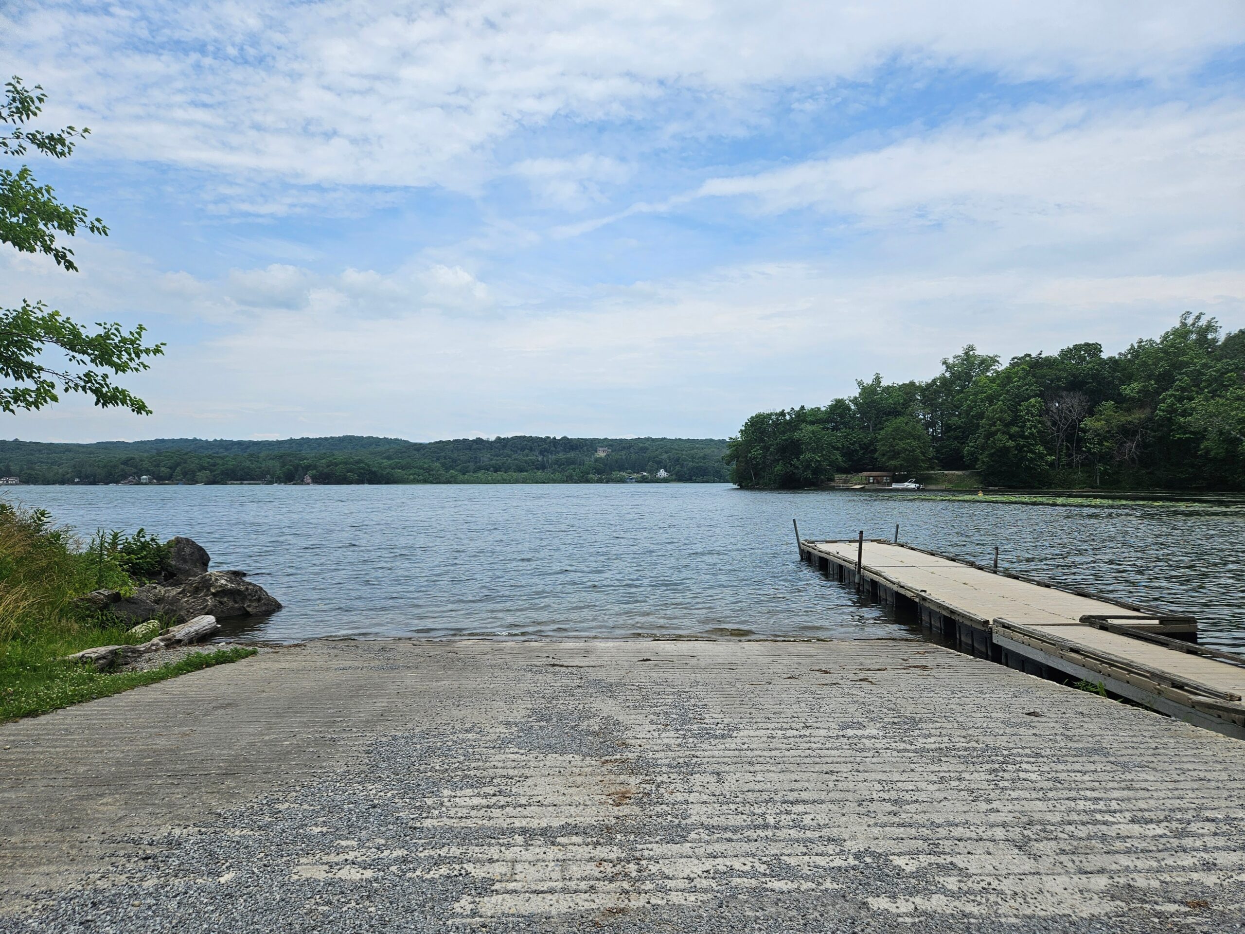
Swartswood Lake is New Jersey’s third-largest natural lake and its first state park. While often overlooked in favor of more popular boating destinations, it still offers an enjoyable experience, complete with a handful of quiet coves and a varied shoreline. Interestingly, the shoreline is surprisingly developed considering this is New Jersey’s oldest state park. This is because the majority of the parkland is actually the water itself, while the land-based sections are limited to fragmented parcels and a larger section at the northern end featuring swimming, camping, and hiking. Continue reading to learn more about paddling at this relatively forgotten state park.
Swartswood State Park
Location: Stillwater Township, Sussex County
Website
Restrooms: Only in the paid area
Background
Swartswood State Park was New Jersey’s first state park, established in 1915. The park centers around Swartswood Lake, which was purchased by the State of New Jersey in 1914 to ensure that public access to the water remained free. Today, access to the lake remains mostly free, with fees charged only for those utilizing the designated swimming area or campgrounds. Multiple free boat launches are still available for public use.
As with many lakes in the immediate area, Swartswood Lake’s formation began when the underlying dolomite and limestone bedrock dissolved to form sinkholes. The lake continued to take shape during the Wisconsin glaciation, which ended roughly 10,000 to 12,000 years ago, as the moving ice sheets further scoured the landscape and plugged the sinkholes (which previously allowed for water to drain into the ground). These glaciers later filled the basin with water. Although a dam was constructed at the far southern end of the lake to power a gristmill, the lake’s overall topography remains largely natural.
Swartswood Lake
The Launches
There are numerous public boat launches throughout the park, primarily on the eastern shore. The five public launches are listed below.
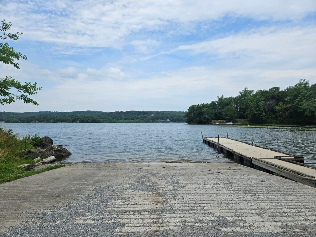
My personal recommendation is the East Shore Boat Launch, located just outside the main park entrance. This launch features by far the largest parking area, the only paved ramp, and a dock. It is located directly next to the swimming area, but unlike the swimming area, there is no fee to park or launch from this ramp. Note: I do not fish; other ramps may be better for fishing, especially considering the swimming area next door.
Boat Launch Details (expand)
| Cartop Launch | Trailer Launch | Address | Characteristics | |
|---|---|---|---|---|
| East Shore Boat Launch | Yes | Yes | 41.071306, -74.824194 | The largest launch, directly next to the swimming area. Paved trailer launch |
| Campground | Yes | 41.078361, -74.821250 | Primarily used by campers. Inside the admission fee area of the park. | |
| West Shore Boat Launch | Yes | 41.063056, -74.852861 | Small launch. Lots of lily pads and algae, but also the only launch on the west shore of the lake. | |
| East Shore Drive Boat Ramp | Yes | Yes | 41.067667, -74.834333 | Moderately sized launch featuring a dirt boat ramp. 400 feet from East Shore Drive Boat Launch |
| East Shore Drive Boat Launch | Yes | 41.066972, -74.832833 | Moderately sized parking area. The parking area is a mix of grass, mud, and potholes. 400 feet from East Shore Drive Boat Ramp |
The Lake
Swartswood Lake is unique among most New Jersey State Parks in that its shoreline is mostly developed. The state park features disjointed land surrounding the lake, but many houses and buildings are located along the shoreline. This is not necessarily a complaint, but it is an important note if you are used to the more tranquil state park lakes in the area, such as Lake Aeroflex, Lake Wawayanda, or Monksville Reservoir, which are all virtually surrounded by continuous woods. It is akin to a much smaller Lake Hopatcong, another highly developed state park.
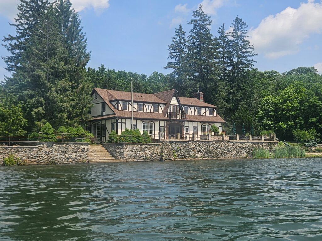
The highlight here is looking at the houses on the shoreline, as the natural beauty is definitely lacking in some places. Again, this is not necessarily a bad thing, just different. If you are looking for the most scenic area of the park, stick to the northern end of the lake, which features the park campground and is much more wooded. Additionally, the views here across the lake are some of the best.
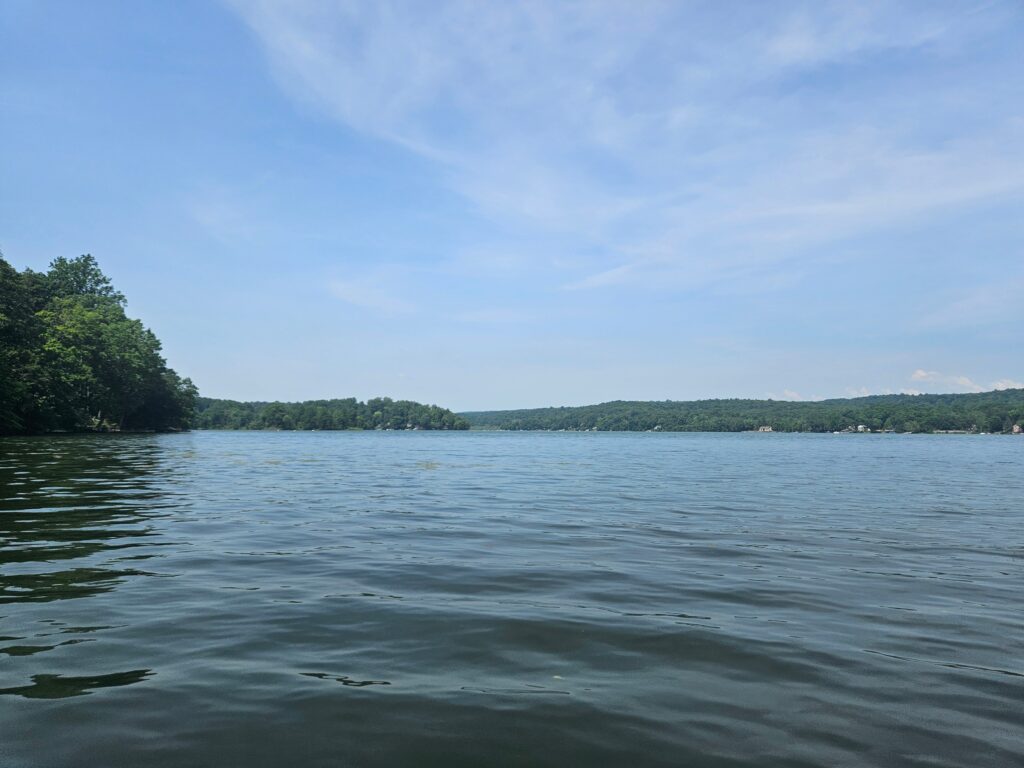
The official park map also lists three different points of interest on the lake: Dove Island, Snake Island and Pike Rock.
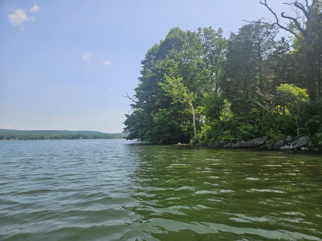
Dove Island is a small island on the eastern shore of the lake. There is no access to the island itself, as it is undeveloped and fairly grown in.
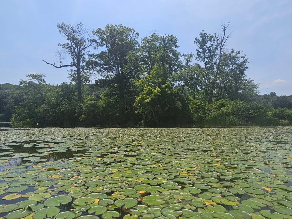
Snake Island is at the far southern end of the lake, near the West Shore Boat Launch. This tiny island is surrounded by lily pads and algae growth and is even more overgrown than Dove Island.
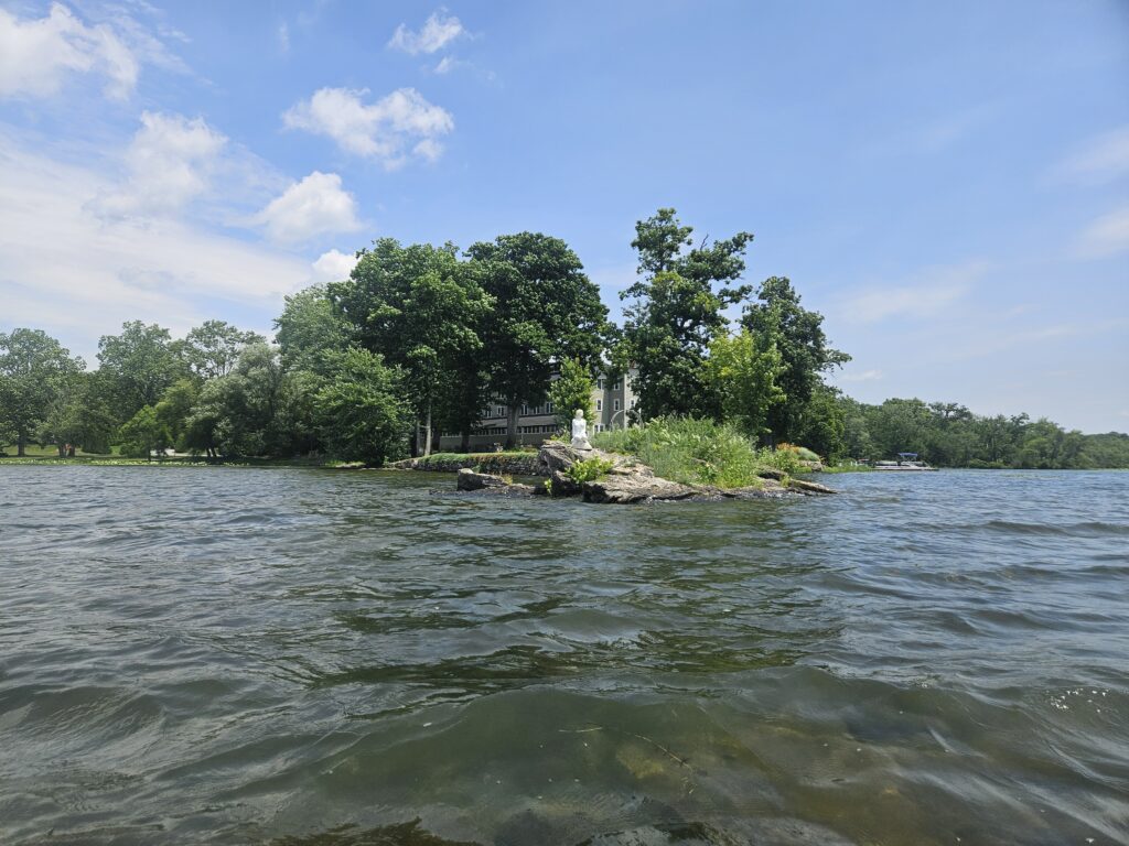
The final point of interest is Pike Rock. This small rock is located at the end of a small peninsula housing the North Shore House, an event venue. While the picture below makes it appear attached to the peninsula, it is actually detached, though you may get stuck trying to go between them depending on the water level.
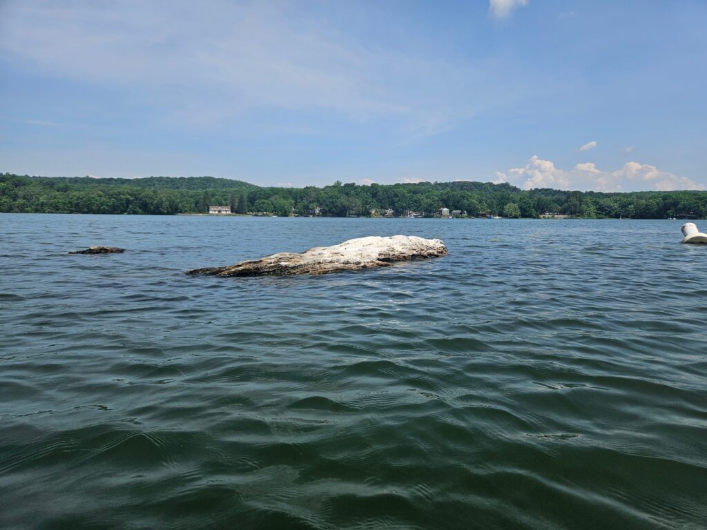
Another rock not on the park map is the one I call “Poop Rock” because the excessive bird poop has stained it white. This rock is located off Hendershot Point, another much larger peninsula on the eastern shore south of Dove Island.
Little Swartswood Lake
Just north of Swartswood Lake is the much smaller, 84-acre Little Swartswood Lake. Little Swartswood Lake is actually connected to Swartswood Lake by the very short Indian Creek; however, it is not possible to paddle between the two without portaging. Unlike at Swartswood Lake, there is only one public boat launch, located on Swartswood Road (County Route 622). This launch is much smaller and can accommodate only a handful of cars. For those using a trailer, some of the concrete for the launch is lifting, creating a small lip.
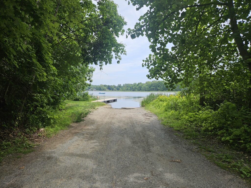
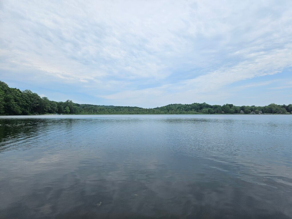
The paddling experience is very similar to the main lake, featuring a few small coves, some houses on the shore, and unfortunately, more algae and weeds, especially in the shallower areas.
Review
Swartswood Lake is okay. As mentioned above, it is not as natural as many state park lakes in New Jersey, but the surrounding houses are interesting to look at, especially since many of them are nice. Unfortunately, the lake does have an algae problem, likely worsened by the very nice lawns surrounding the water, since fertilizer use is closely tied to algae growth.
The main selling point for me is the size of the lake; at 502 acres, it is one of the larger lakes in the state, and the numerous small coves allow some decent exploring. For scenery, I’d go elsewhere, such as Monksville Reservoir or Splitrock Reservoir, which are arguably the most scenic in the region (though neither is necessarily close).

Leave a Reply