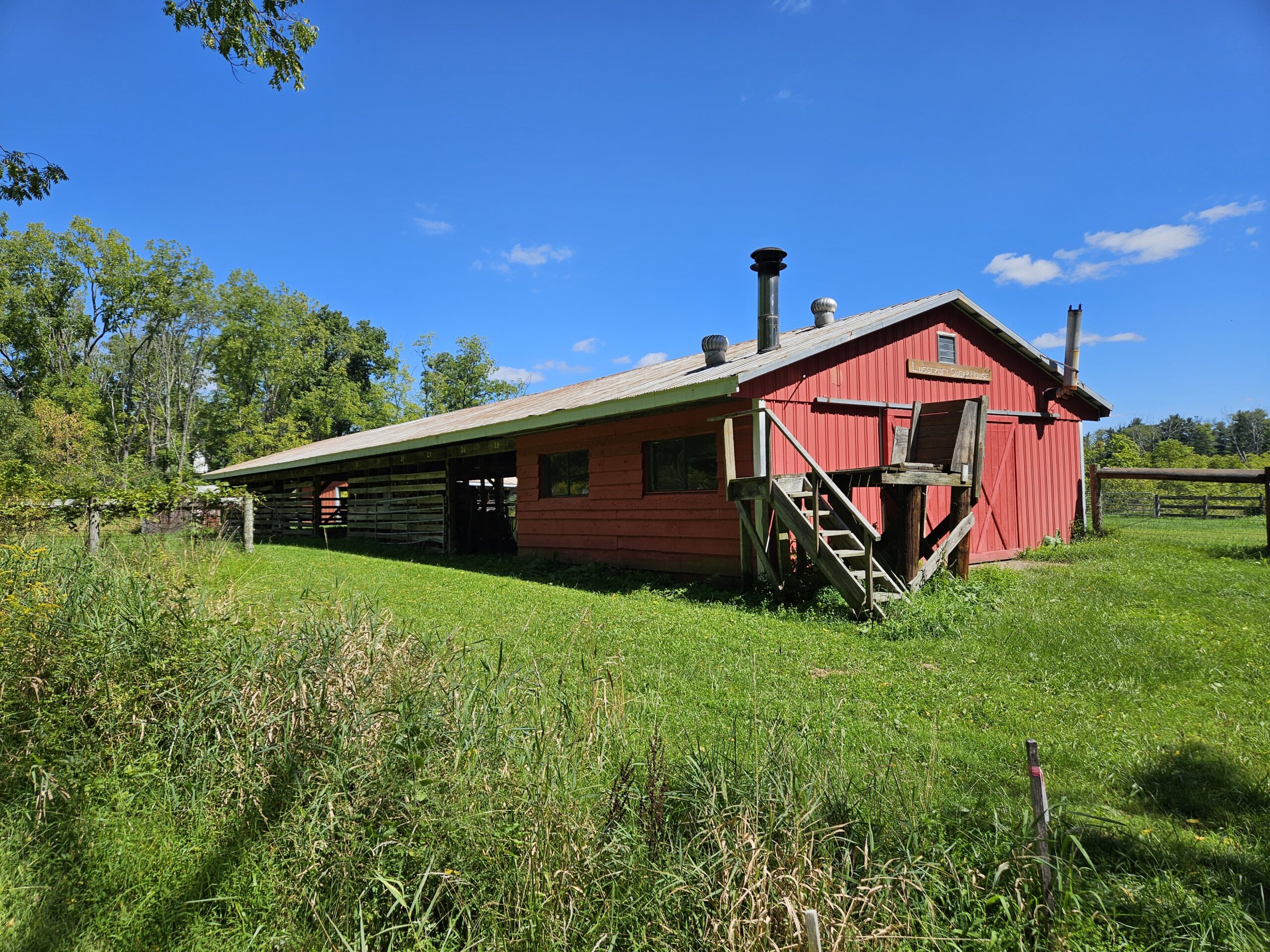
High Point State Park is one of New Jersey’s most popular outdoor destinations. Most visitors don’t know, however, that a distinct, lesser-known corner of the park lies below the main mountain: Lusscroft Farm. A historic former dairy operation, Lusscroft Farm offers a network of scenic trails split into two distinct sections: The Ridge and The Valley. The Ridge Trails offer traditional wooded hikes along the slopes of Kittatinny Mountain and around some large building ruins; the Valley Trails wind around historic farm structures and active maple sugaring operations. Continue reading to learn more about this underrated hiking destination.
Lusscroft Farm (High Point State Park)
Hike Information (full route, shorter options possible)
Distance: 3.85 miles
Ascent: ~700 feet
Difficulty: Moderate
Attached is the route as described below for reference. The elevation profile and route were created on AllTrails. Users can download the route to use on their preferred GPS. Click here for information on how to use the GPS routes on your phone.
Background
Lusscroft Farm was established in 1914 as a model dairy farm. In 1931, the property, with all its livestock and machinery, was donated to the State of New Jersey. It operated as the North Jersey Dairy Branch of the State Agricultural Experiment Station, a state research facility. Research was conducted on animal feeds, artificial hay drying, forage crops, pasture fertilizers, milking methods, and artificial insemination.
From 1973 to 1996, the facility served as a 4-H outdoor education camp. In 2002, the farm was transferred to the New Jersey Department of Environmental Protection and the State Agriculture Development Committee. Today, it is managed as part of High Point State Park. While the trails are mostly self-contained, the Appalachian Trail connects them to the main park.
The Heritage and Agriculture Association, Inc. works in partnership with the State of New Jersey to restore and preserve the farm’s historic buildings and grounds. The association hosts events year-round, including barn sales, nature hikes, and an annual holiday benefit, and more to fund ongoing restoration projects. As of writing, the association is fundraising for a new barn roof.
The Hike
The full loop around the property is just under 4 miles. Lusscroft Farm is split into two main areas: The Ridge and The Valley. The Ridge features more rugged terrain on the side of Kittatinny Mountain. The Valley features more rolling hills and trails that wind around and through the farm. Trails on both sides are generally moderate, with some hills but no rocky or exceptionally steep terrain.
Because the parking area is located between The Ridge and The Valley, it is possible to hike one side without hiking the other. If you hike both, it is recommended to start with The Ridge. For this reason, the guide below begins on The Ridge. To skip to The Valley, click here.
Ridge Side
The best way to hike the ridge side is to start with the Blue Explorer Trail. To start, exit the parking lot and turn left onto Neilson Road. Follow Neilson Road for a couple hundred feet until you see a woods road and a gate to the left. The trail (and all the trails) is also marked with a nice, labeled sign.
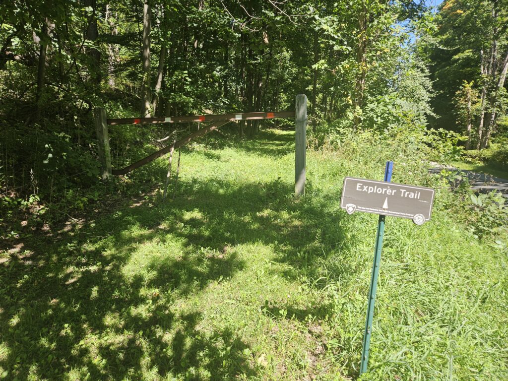
The Blue Explorer Trail immediately begins a moderately steep climb up the ridge. After 0.15 miles, you will reach a fork with the Purple Tenderfoot Trail. On a map, you will see two marked locations you can reach from either direction at this fork: the Spring House and the Outlook Lodge. I recommend remaining on the Blue Explorer Trail to reach the Outlook Lodge and visiting the Spring House Later.
Outlook Lodge
After a few hundred feet, you will see the Outlook Lodge peeking through the trees. The Outlook Lodge is an abandoned hunting lodge built in 1930.
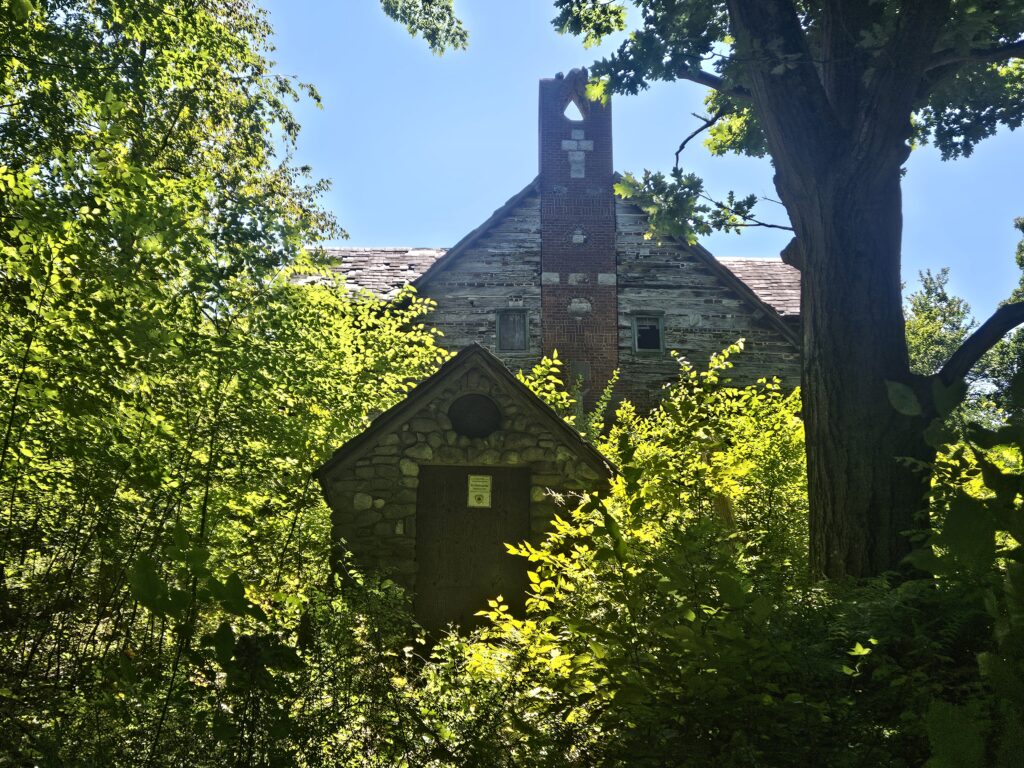
At first, it may seem like there is no way to reach the lodge, but if you keep going on the trail, a faint path through the brush leads to the front of the building. Here you will find the (barricaded) front entrance.
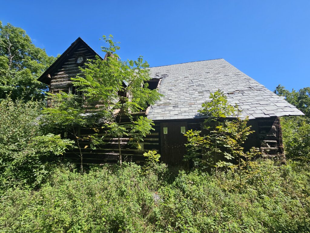
Unfortunately, despite being named “Outlook Lodge,” there is no view.
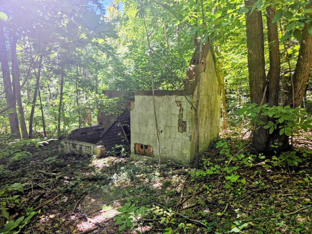
From the lodge, continue on the Blue Explorer Trail, where you will soon pass another set of ruins. These ruins are much smaller than the lodge and are not labeled on the map. I haven’t been able to identify what this structure once was, but it appears to have been a small building.
Spring House
Soon after the ruins, you’ll reach an intersection with the Purple Tenderfoot Trail again. To visit the Spring House, turn right here and follow the trail for 0.15 miles. If you are not interested, turn left.
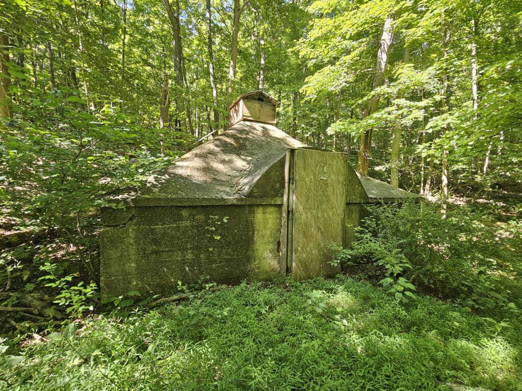
The Spring House is a low-to-the-ground concrete building built over a spring. The cool water from the spring and the concrete structure provided refrigeration. Today, the building is also sealed shut, but appears to be in good condition and is likely quite chilly inside.
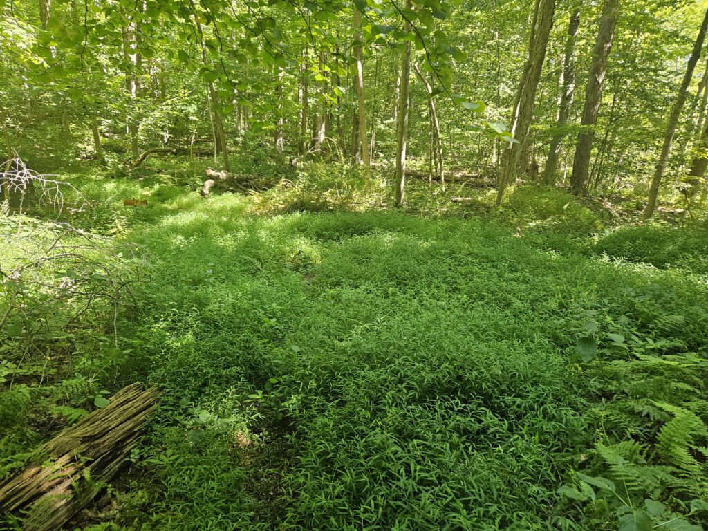
As the Spring House is built over a natural spring, the surrounding area can be wet, which supports plant growth. Although the area isn’t swampy, it can be overgrown.
After exploring the Spring House, return to the previous intersection and continue on the Blue Explorer Trail.
Very soon, you will reach an intersection with the Yellow Old Swenson Farm Trail. Here, the Explorer Trail makes a sharp right turn where you will see a sign reading “Caution Steep Hill.”
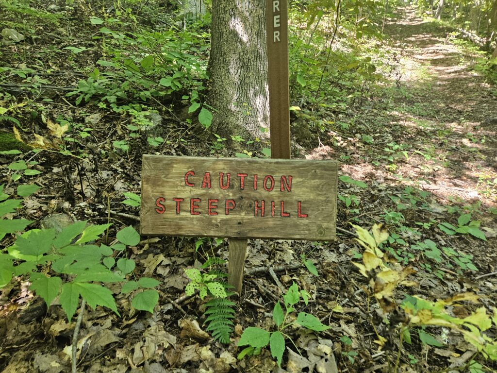
While this hill is steep, I don’t find it too bad: it’s fairly short at only about 200 feet in length and features a smooth surface. If you’ve made it this far, you should be fine on this hill.
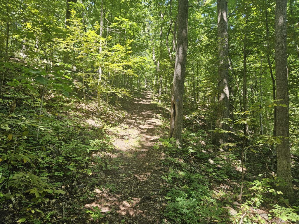
At the top of the hill, you will reach yet another fork, this time with the Pink Nacho Trail to the right. I recommend staying on the Blue Explorer Trail for simplicity; however, I will still describe the Pink Trail as it has two sites that could be interesting under different circumstances. If you are staying on the Blue Explorer Trail as recommended, click here to skip ahead.
Spanish Overlook
About a hundred feet into the Pink Nacho Trail, you will reach the Red Spanish Overlook Trail. Turn right here to take the short, dead-end trail to the overlook. Unfortunately, the overlook is fully overgrown, and there is no view. Weirdly, the trail map was released in 2024, and the picture below was taken in 2026. The trees would not have grown in to this extent in just 2 years.
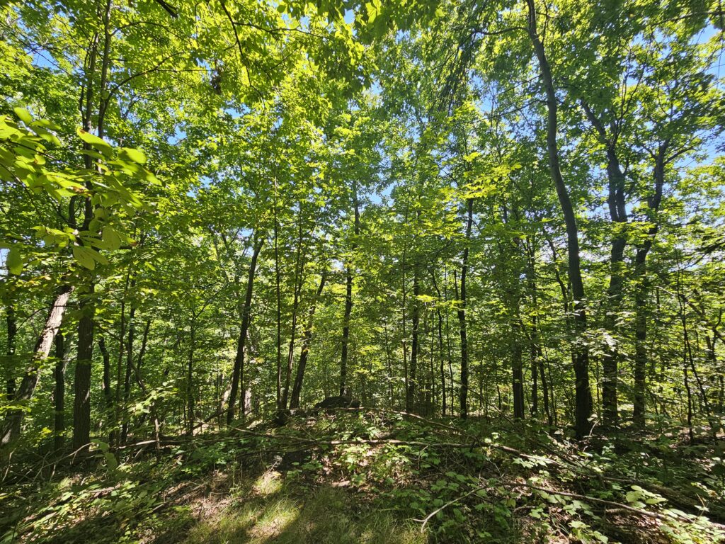
Once done taking in the “overlook,” return to the Pink Nacho Trail and turn right to continue ahead.
Plane Crash
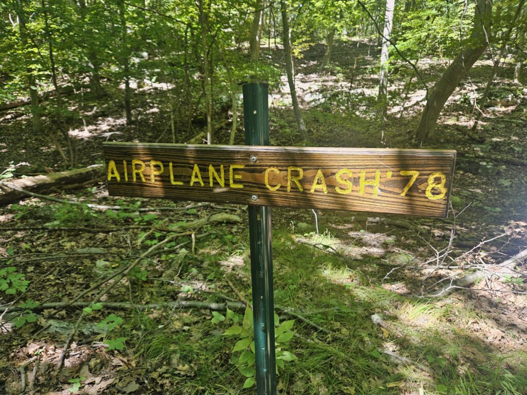
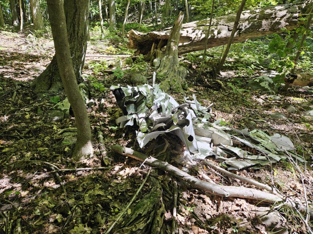
Just after returning to the trail, you will see the site of a 1978 plane crash. Apparently, the Kittatinny Mountains have a long history of plane crashes; however, I couldn’t find any information about a 1978 crash.
While pieces of the crashed plane are technically still present, much has disappeared over the years. All that remains is a small pile of metal.
The Pink Nacho Trail returns to the Blue Explorer Trail shortly after the plane ruins.
You will soon reach yet another fork, this time with the Green Unity Trail to the left. You also have two options: continue on the Blue Explorer Trail to the top of the ridge, or take the Green Unity Trail, a shortcut that cuts off 0.7 miles. I recommend staying on the Blue Explorer Trail. While there are no notable sites, it is still a pleasant walk. If you choose to take the Green Unity Trail shortcut, click here to skip ahead. Note that the Green Unity Trail is a little overgrown.
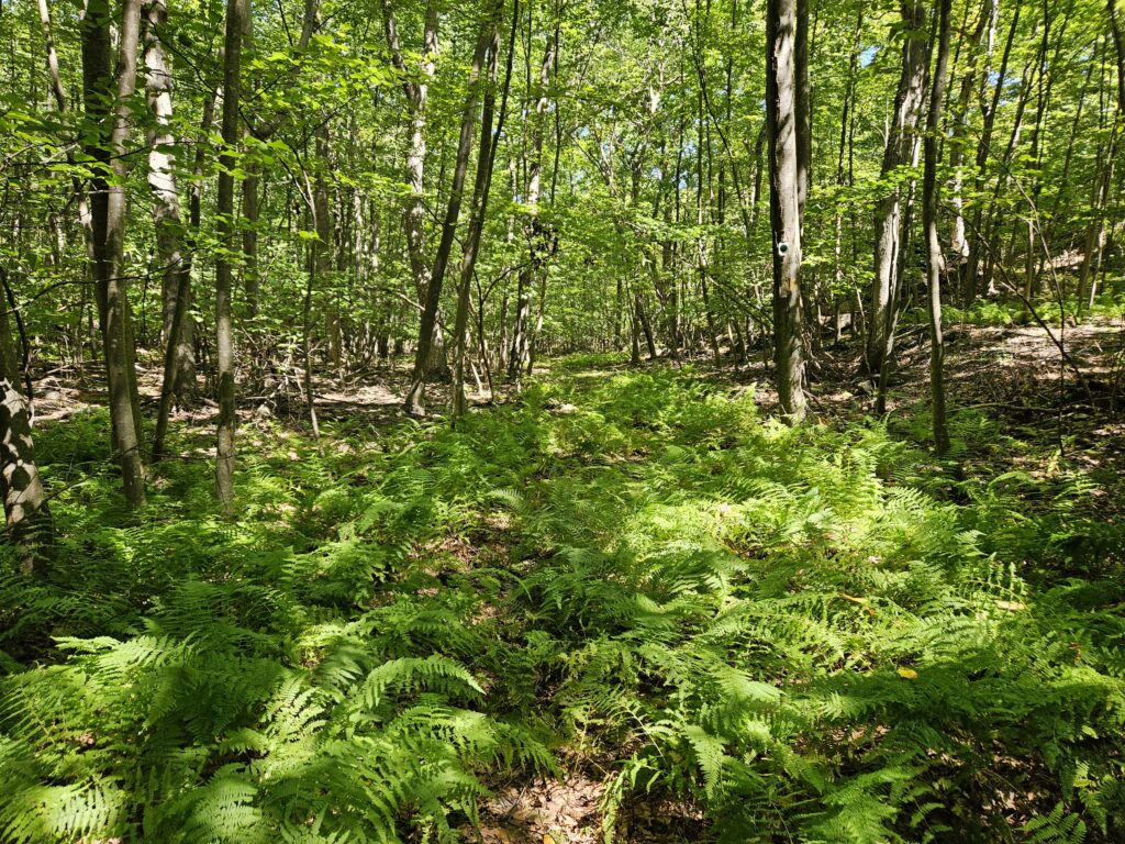
Upper Explorer Trail Loop
After the fork, the Blue Explorer Trail gently rises to an old road. At the road, the trail turns right and reaches the ridge top. While there are no views, the trail is generally level.
You will soon reach a fork where the Blue Trail splits. The trail here creates a lollipop loop, where both trails return to the same point.
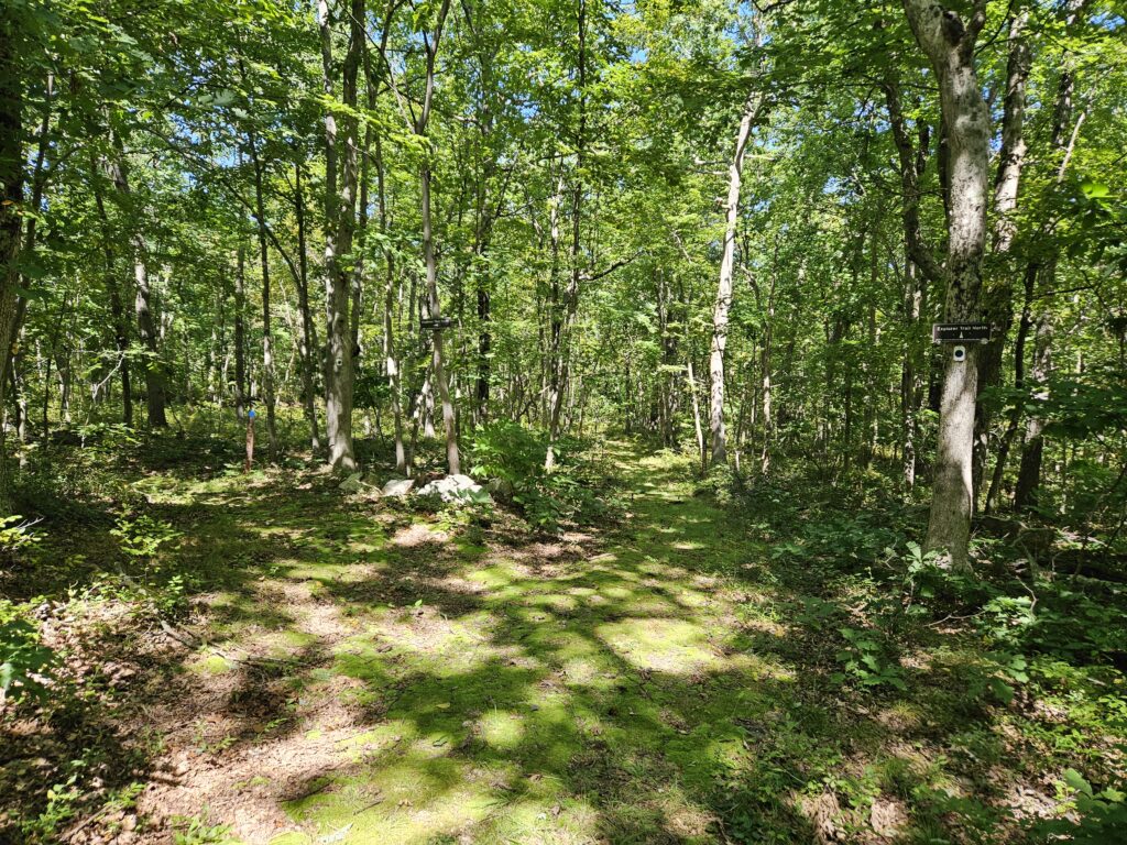
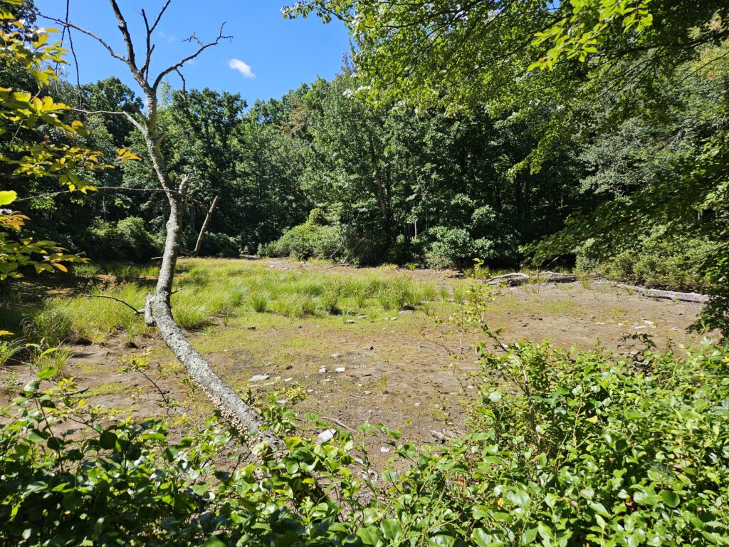
I recommend staying right here, where you will soon pass two seasonal ponds. Even in a wet summer, these ponds were completely dry when I visited.
Just after the ponds you will reach the White Appalachian Trail. Turn left onto the Appalachian Trail and follow it for about a hundred feet.
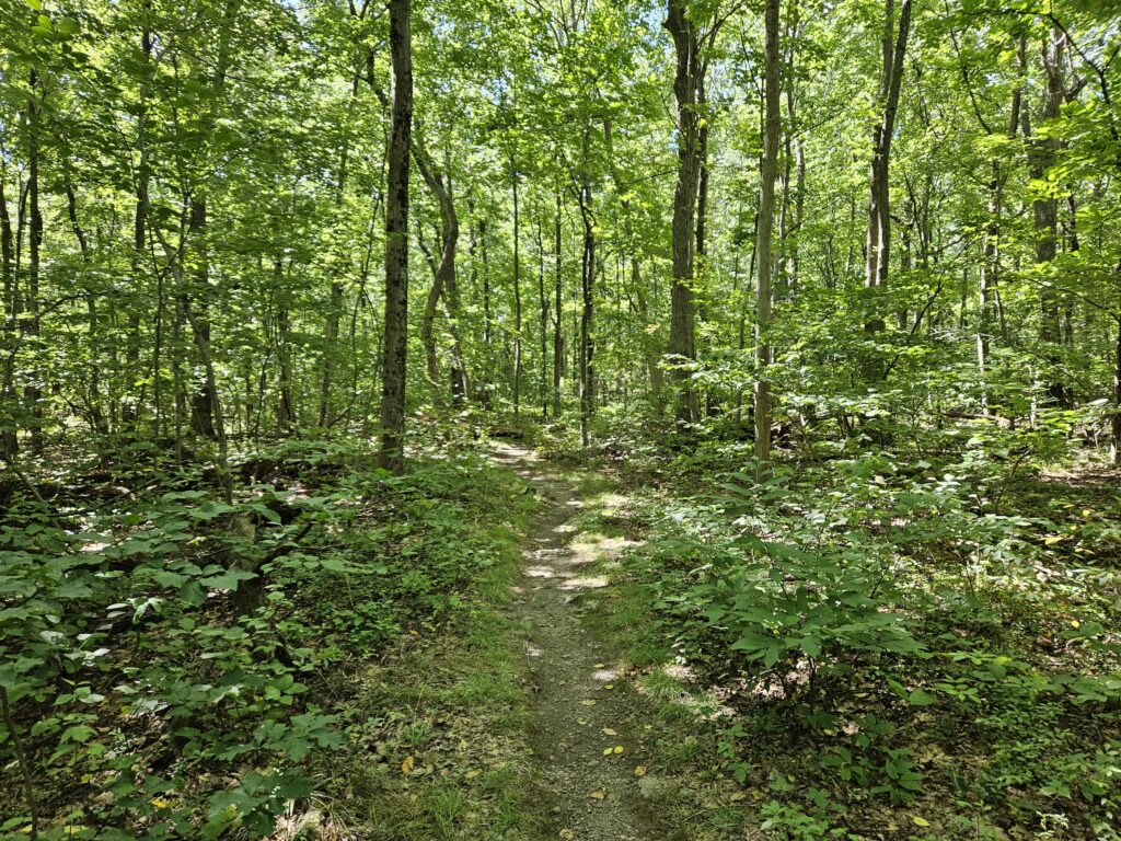
Keep your eyes peeled; the other side of the Blue Explorer Trail will be on your left. This is the only poorly marked turn in the entire park. Unfortunately, the Appalachian Trail lacks blue blazes, which makes this turn harder.
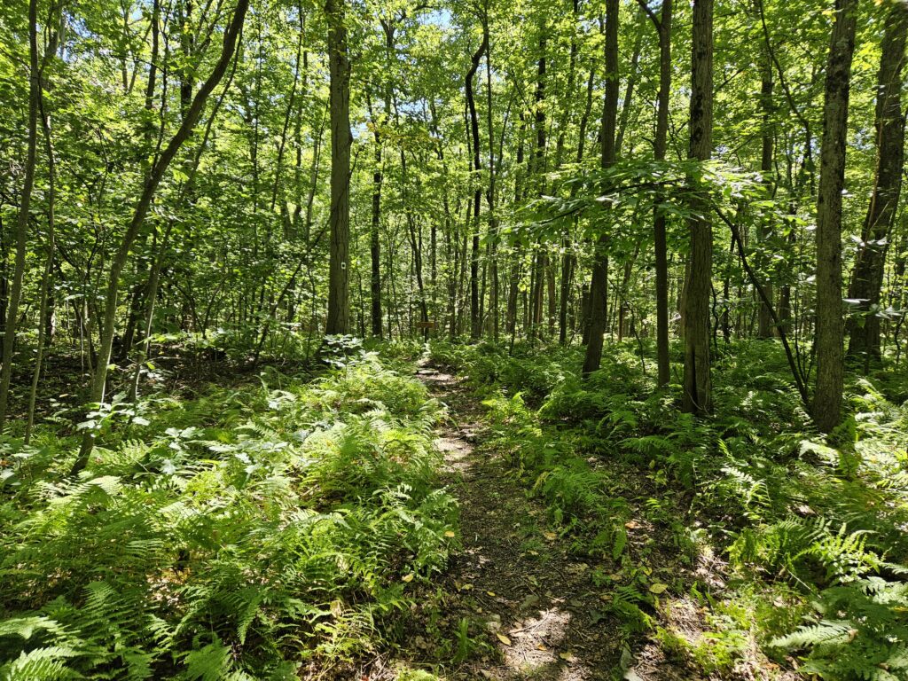
Follow the trail to the point where the Blue Explorer Trail previously split. Follow the initial trail to the lollipop until you reach the Light Blue Americorps Mountain Trail straight ahead. Continue straight on this trail, where you will soon see the Green Unity Trail to the right. This is where those taking the shortcut will return to the main trail.
Just after the Green Unity Trail, you will see the Orange Short Cut Trail to the left. You can stay on the Light Blue Americorps Trail back to the base, but it goes through wet areas and is typically overgrown, so I recommend that you take the Orange Short Cut Trail.
Follow this trail, which winds its way down the ridge for 0.4 miles until you reach Neilson Road. One thing to note: near the start of the trail, one section has unusually colorless blazes. While you might think you made a wrong turn onto the Yellow Old Swenson Farm Trail, you are in fact on the Orange Short Cut Trail.
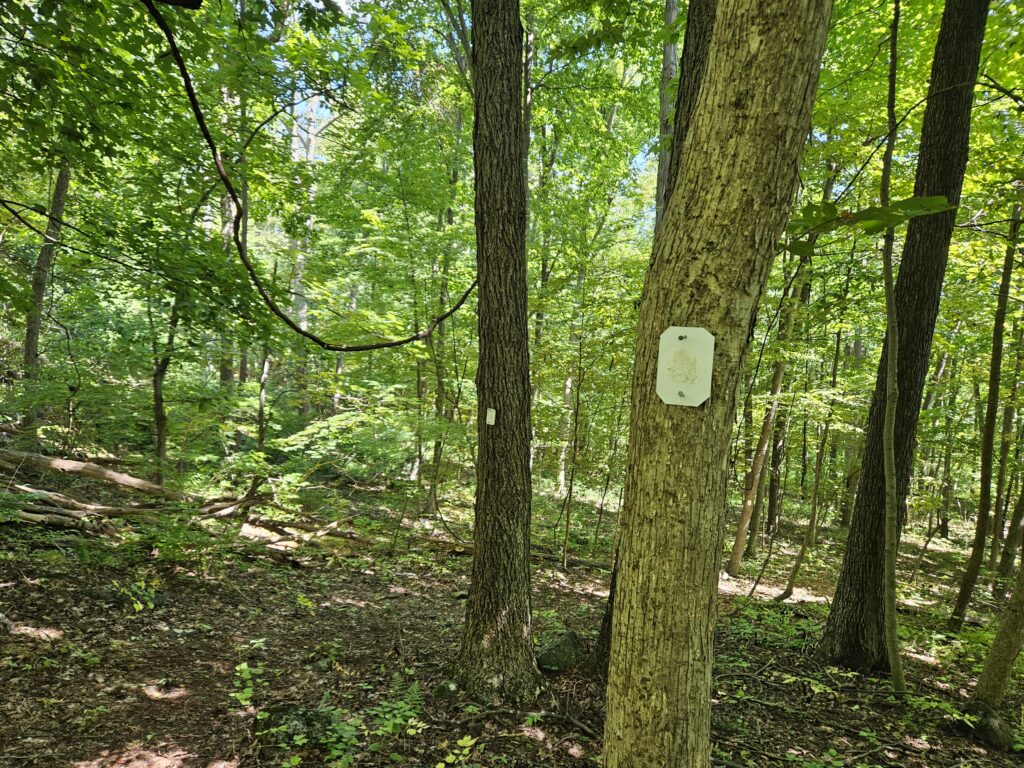
Once at Neilson Road, you can either turn left to return to the parking area, or continue straight to The Valley.
Valley Trails
If you’re coming from Ridge Trails, access is just across Neilson Road. If you are starting from the parking area, turn right onto Neilson Road and hike 0.2 miles to the Sugarbush Trail on the left, which begins the Valley Trails.
The trail starts off scary because of extensive overgrowth. Fortunately, it clears up almost immediately.
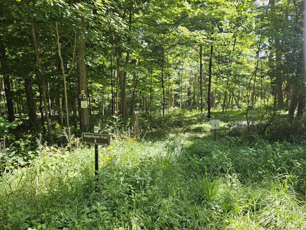
The “Sugarbush” name becomes obvious quickly as the trail passes through a maple sugaring operation (a sugarbush is a stand of maple trees). On either side of the trail, a web of tubes transports the tapped sap. These tubes continue on and off throughout the entire valley section.
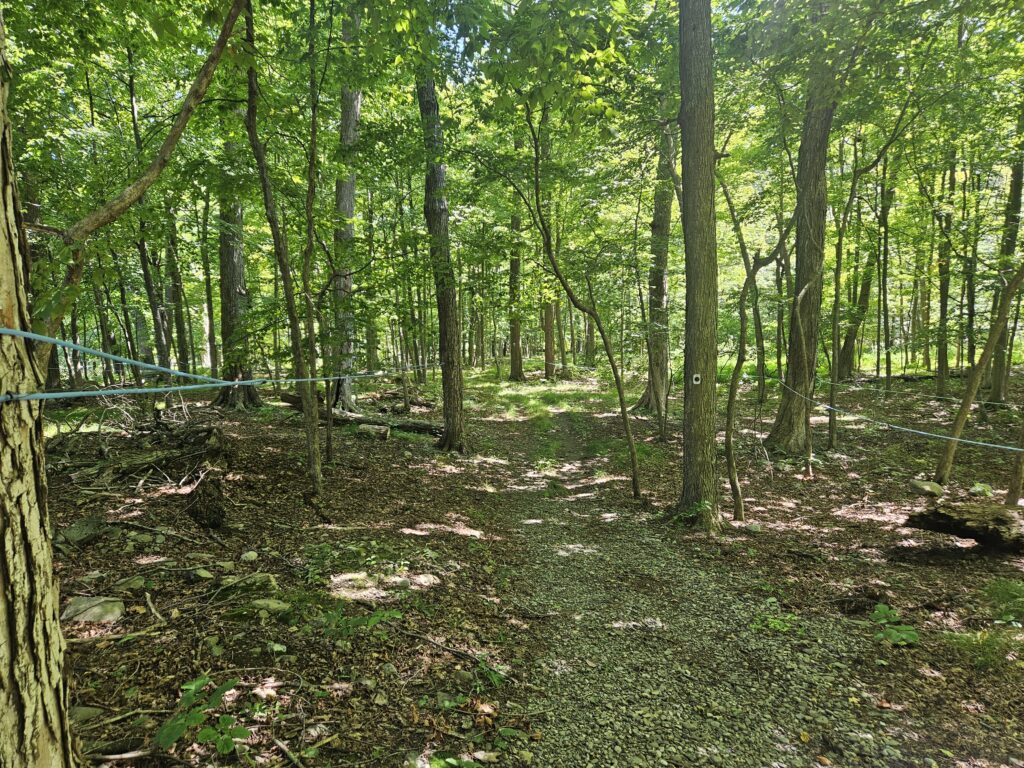
You will soon reach a clearing with a pair of barns.
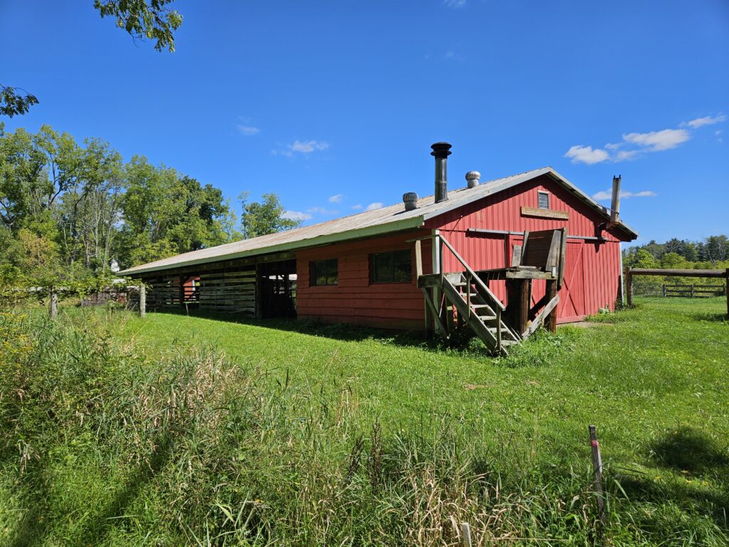
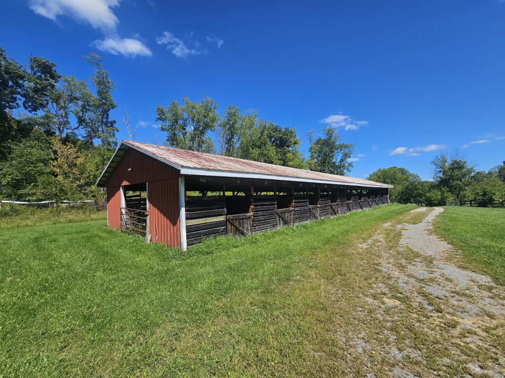
From the barns, return to the woods and continue hiking until you reach an intersection at the end of the Brown Sugarbush Trail. The map differs slightly from the actual trail here. The map lists this intersection as the start of both the Yellow JEMA Trail and the Green Leprechaun Trail, which turn left and right, respectively. In reality, both directions are the Green Leprechaun Trail. No matter which way you go, the trails reconnect after 0.2 miles.
I highly recommend turning right. Both trails are overgrown in spots, but the trail to the right is much better. This does miss the small ice pond, which is now just algae-filled.
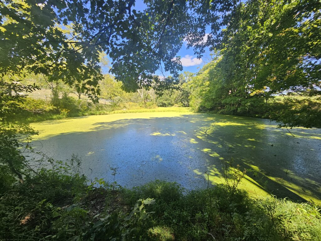
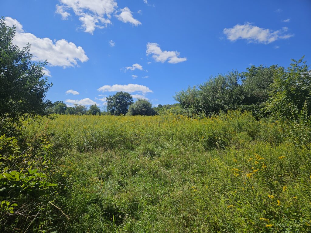
If you turn right as recommended, you will reach an intersection with the Yellow JEMA Trail, where the Green Trail continues before dead-ending at the Wyker Farm Meadow. The view of the Meadow is not very good, and the trail is very overgrown. Start the Yellow JEMA Trail.
You might notice that the signage for the Yellow JEMA Trail does not say “JEMA.”
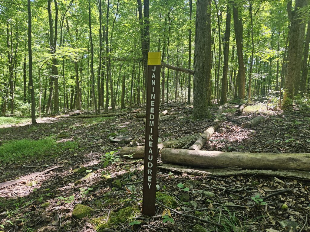
“JEMA” is short for “JAININEEDMIKEAUDREY.” It took me way too long to figure out that it is the names Jainine, Ed, Mike, and Audrey. I think JEMA works better.
Follow the Yellow JEMA Trail until you reach the Pink Connector Trail on the right, which crosses a small brook immediately.
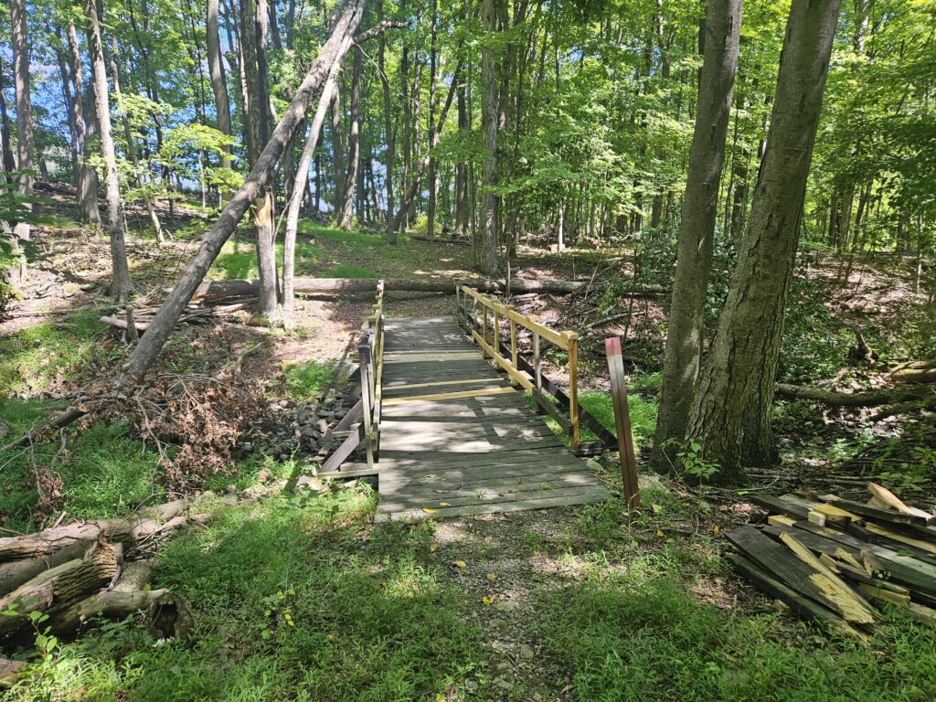
This short trail takes you to the Red Great Trail. The Red Great Trail is a loop that connects to both the Purple Forgotten Trail and the Blue Americorps Valley Trail. I recommend continuing straight (skipping the red blazes to the right) to head to the Purple Forgotten Trail, as weirdly despite what the name implies, the Forgotten Trail is very well-kept and not overgrown, unlike the Americorps Valley Trail.
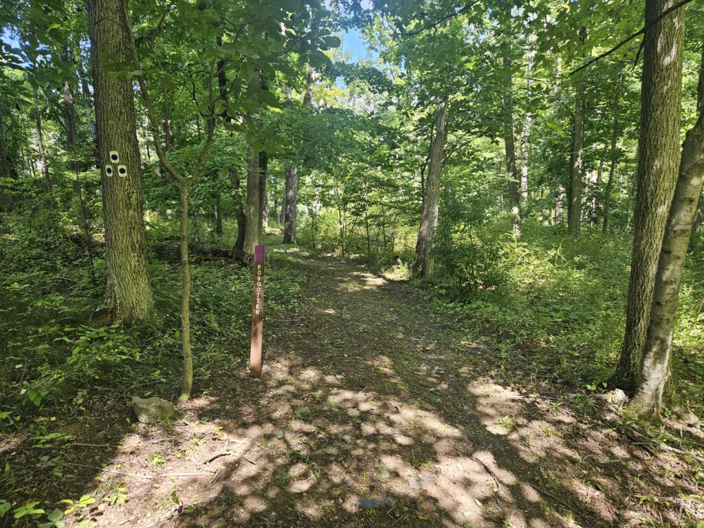
Follow the Purple Forgotten Trail to its end at the Blue Americorps Valley Trail. Here you will pass more maple sugaring. The trail then passes along the edge of a large field.
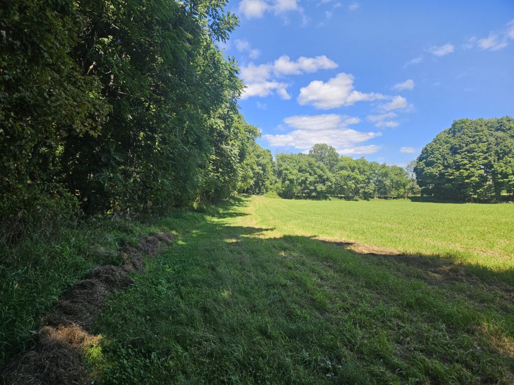
At the other end of the field is a private-access driveway for the farm. It may seem like you need to hike up the road, but the trail actually quickly turns right onto the road, then takes a quick left off the road.
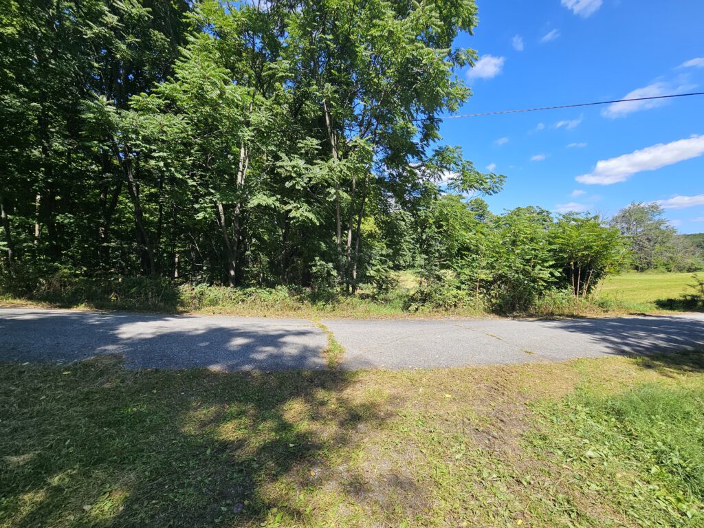
The trail goes through yet another area of maple sugaring before reaching Brink Pond. This pond unfortunately also has a lot of algae in it.
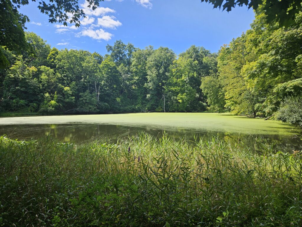
Continue following the Blue Americorps Trail past the pond. Just past the pond, the trail appears to turn right into a large field, but it actually turns left. This turn is well marked if coming from the opposite direction, but could be better marked from the direction you are coming from.
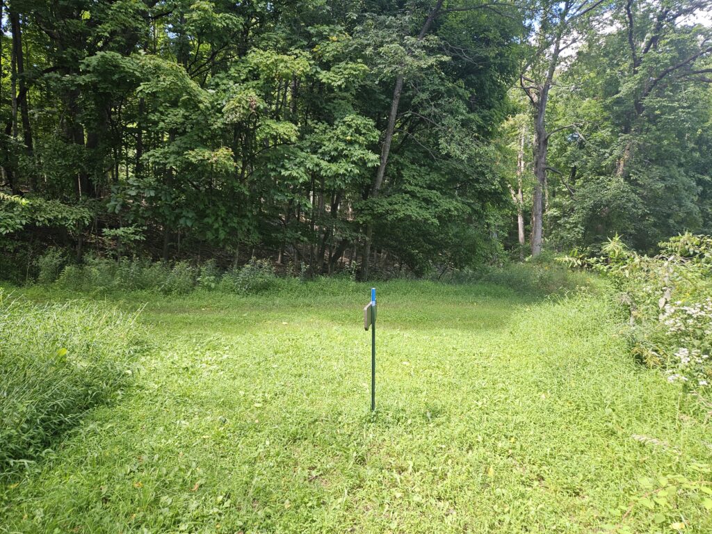
The trail then makes another quick right, though this is well marked. From here, it is a short distance back to Neilson Road. Turn left onto the road to return to your vehicle. Crossing the road straight ahead will take you to the Blue Explorer Trail and The Ridge.
Review
Lusscroft Farm is very underrated and features numerous interesting sites. The property shows clear management effort, with active maintenance on some bridges and excellent blazing throughout. Unfortunately, the park sees very few visitors, leaving some trail sections overgrown. If more people visited and stomped down the understory, Lusscroft Farm would be great.




Leave a Reply