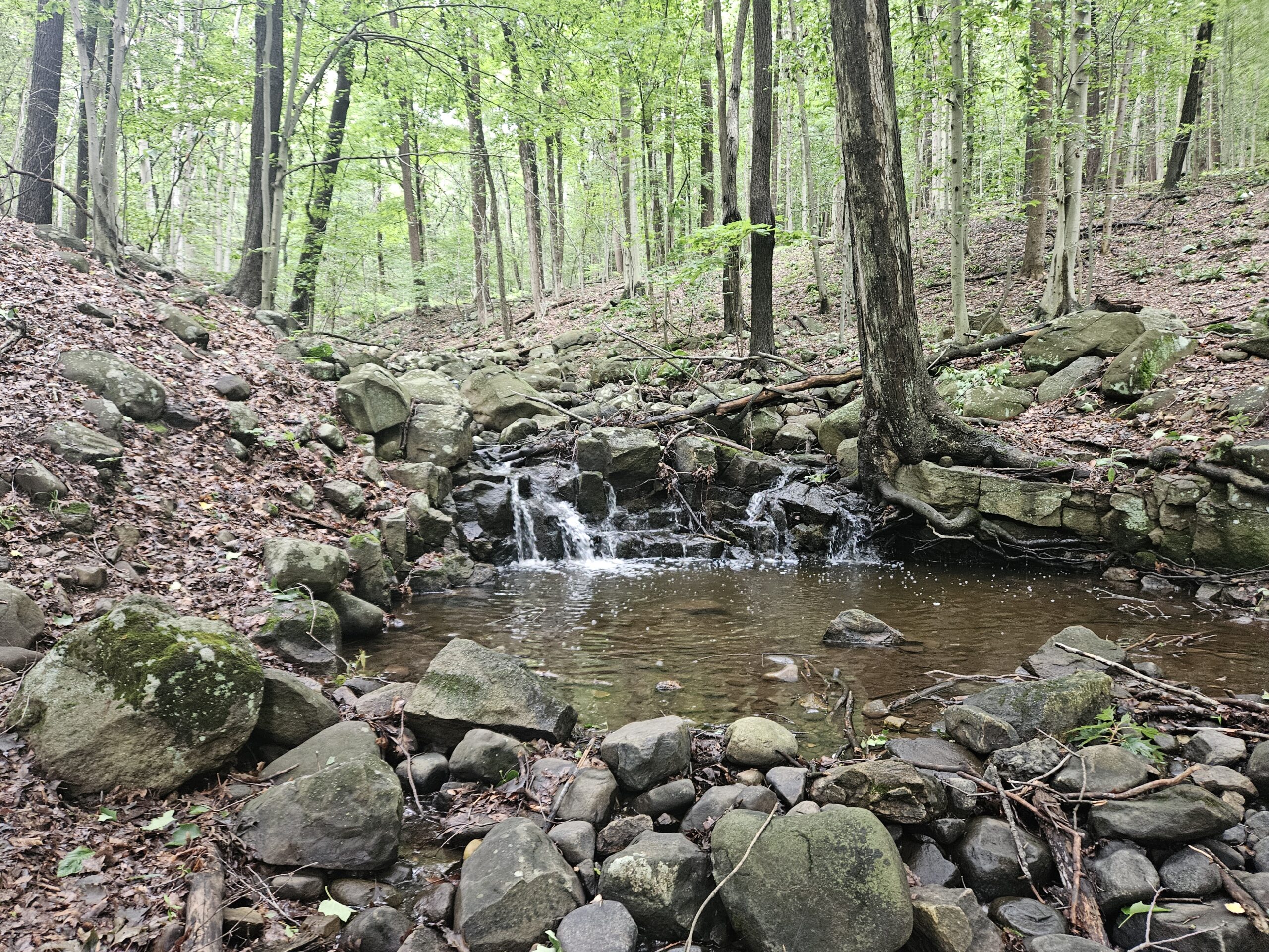
Located in the far northeastern corner of New Jersey are the small Rockleigh Woods Sanctuary and Lamont Reserves. Virtually unknown to those outside the immediate area, these two adjoining parks feature a nice, well-maintained collection of trails. Highlights include a set of cistern (water storage basin) ruins and the small Roaring Brook Falls. While this is not a park to travel far for, it is a pleasant, easy walk for those in Bergen County or Rockland County, New York, as it sits just a five-minute walk from the state border.
Rockleigh Woods Sanctuary/Lamont Reserve
Location: Rockleigh/Alpine, Bergen County
Website: N/A
Restrooms: None
Hike Information
Distance: 2.25 miles
Ascent: ~400 feet
Difficulty: Easy
The Hike
The hike through Rockleigh Woods Sanctuary and Lamont Reserve is about 2.25 miles. While this hike does traverse two parks, the Rockleigh Woods Sanctuary and the Lamont Reserve, they are essentially the same thing. The name difference exists solely because you cross municipal lines, and these are municipally owned properties. The route below passes by all the major sites in the park, including an (overgrown) overlook, Lamont Rock, cistern ruins and Roaring Brook Falls. The two parks are very well maintained and are hiked in tandem. All trails are well marked and easy to follow, though I recommend taking a map as there are many intersections.
Parking
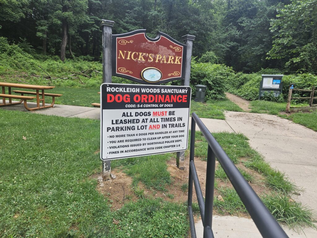
Parking for Roaring Brook Falls is easy but somewhat hidden. It is located behind the Rockleigh Borough Municipal Building at 26 Rockleigh Rd, Rockleigh, NJ 07647, and shares a parking lot with it. While there are no signs in front of the building for trail access, it is obvious you are in the right place once you park, as you will find a formal “Nick’s Park” sign. While the name might be confusing, Nick’s Park is just the strip of land before the woods. There is also a large “Dog Ordinance” sign for Rockleigh Woods to confirm you are in the right place. Unfortunately, this sign seems to be largely ignored: of the 4 dogs I saw, only 1 was leashed.
Beginning the Hike
From the parking lot, walk straight past the directory onto the Blue Trail. Aside from a triple blaze marking the start, there are no other obvious blazes at this point. This is not an issue, as the trail is incredibly obvious.
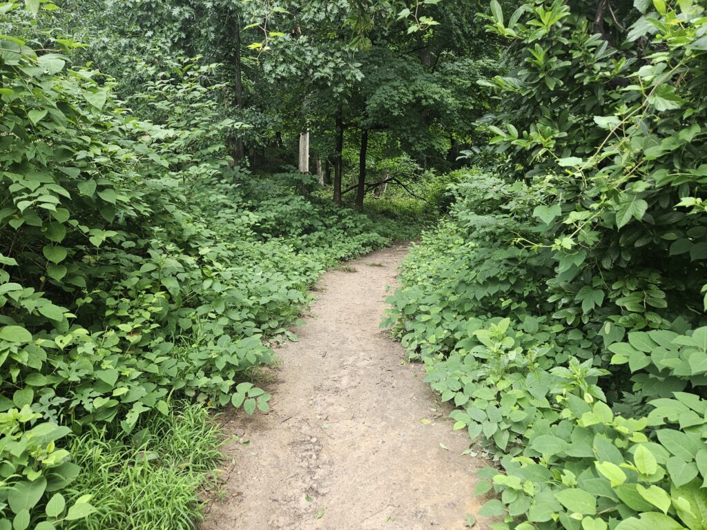
Almost immediately, you will reach a fork and the start of the Yellow Trail, which goes in both directions. Bear left to take the co-blazed Blue and Yellow Trails. In another short distance, the Yellow Trail leaves the Blue Trail to the left. Turn left to stay on the Yellow Trail.
You will soon cross the first of many easy yet unbridged water crossings.
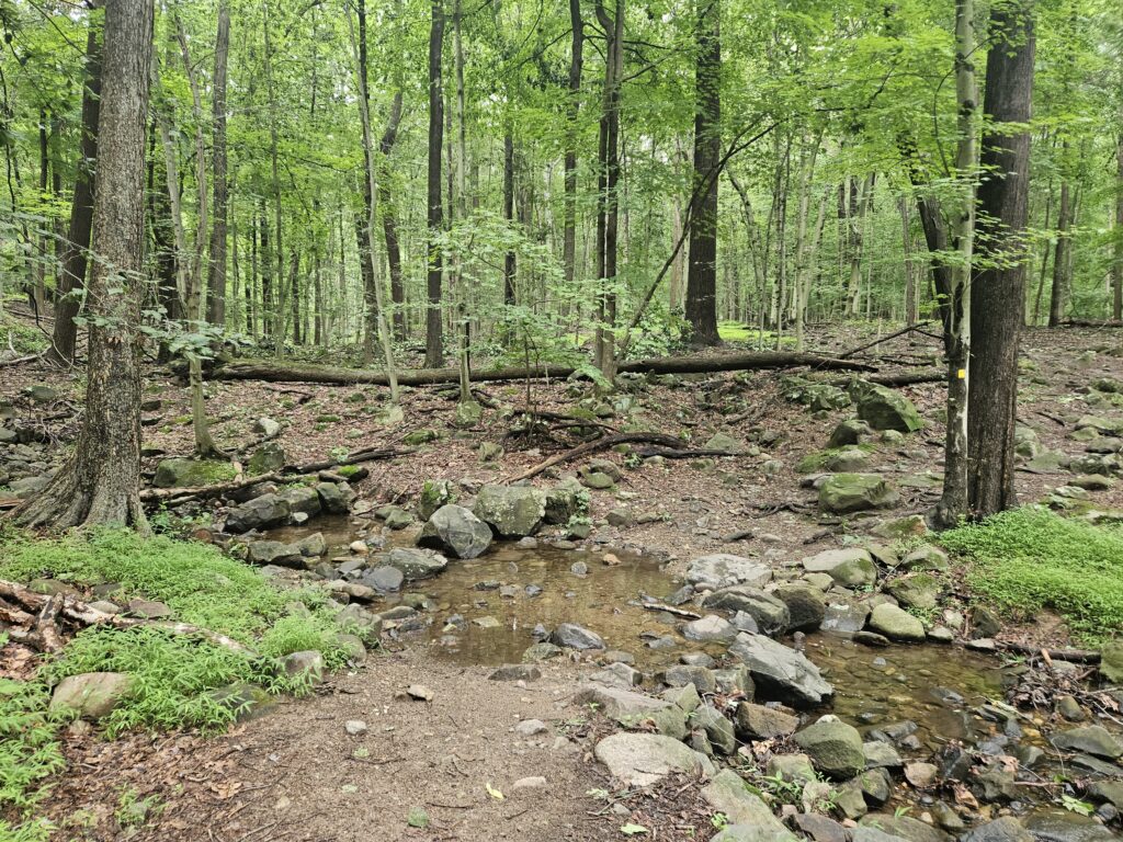
Follow this trail for about a half mile as it gradually rises uphill until it crosses Roaring Brook.
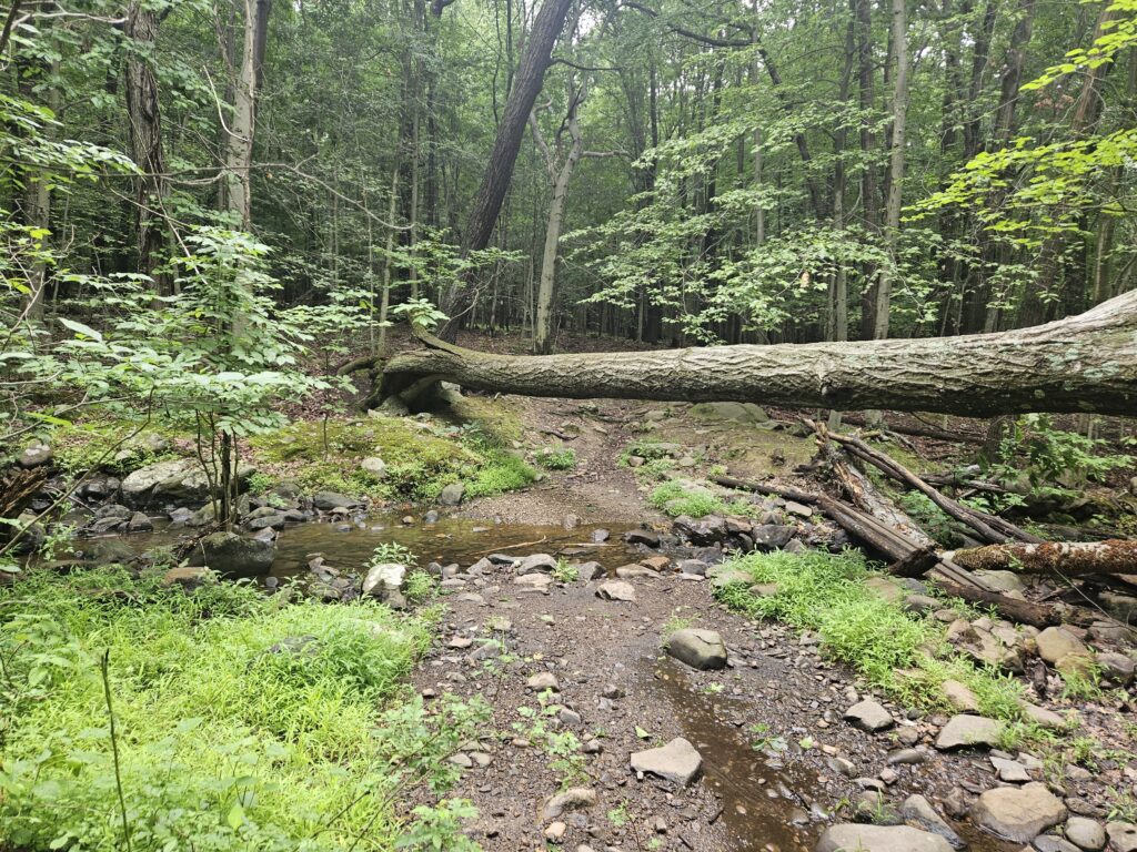
After crossing Roaring Brook, locate the White Trail, which crosses the Yellow Trail. Turn left on the White Trail. Follow the trail for 0.2 miles until you reach the overlook labeled on the trail map. This overlook has grown in, and there is nothing to see here. Just past the overlook is another point of interest: Lamont Rock.
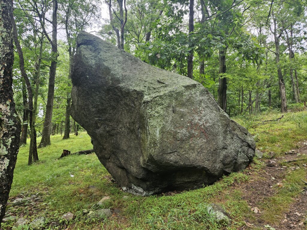
Lamont Rock is a large glacial erratic. A glacial erratic is a rock or boulder transported by glaciers; in this case, the Wisconsin Glacier, which retreated between 10,000 and 20,000 years ago. The most famous glacial erratic in New Jersey is Tripod Rock, at the top of Pyramid Mountain.
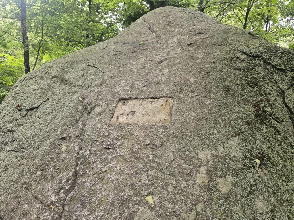
On one side of the rock, there is a large flat area that appears to have once held a plaque or historical marker. Today, there is nothing to signify this as Lamont Rock, other than the fact that it looks very out of place, as do most large glacial erratics.
From here, follow the White Trail for about a quarter mile as it winds down the hillside. Soon, you will reach a warning sign for open water basins ahead.
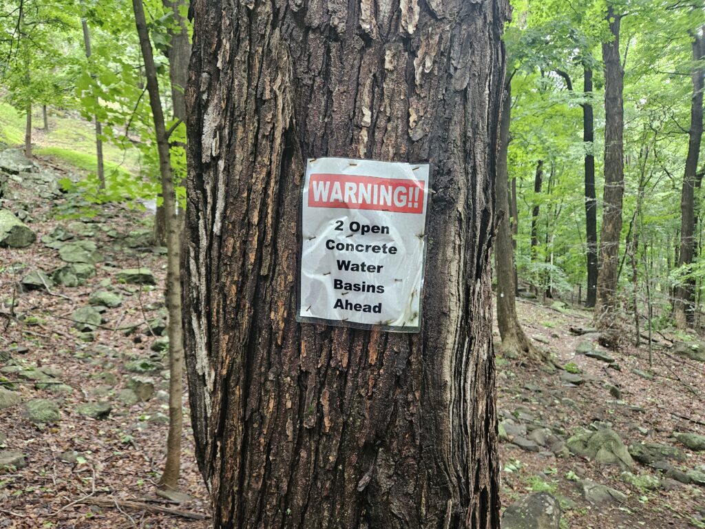
Just past the signs are the ruins of two cisterns. Despite the warning sign, these appear fairly shallow, as both have been breached. Still, it’s probably a good idea to avoid the water.
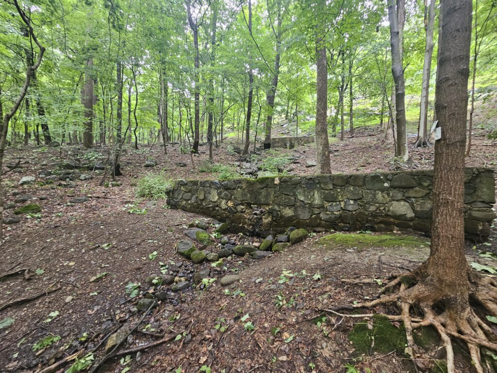
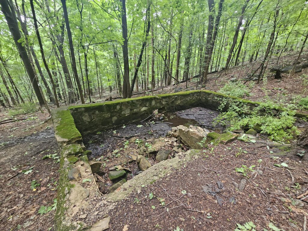
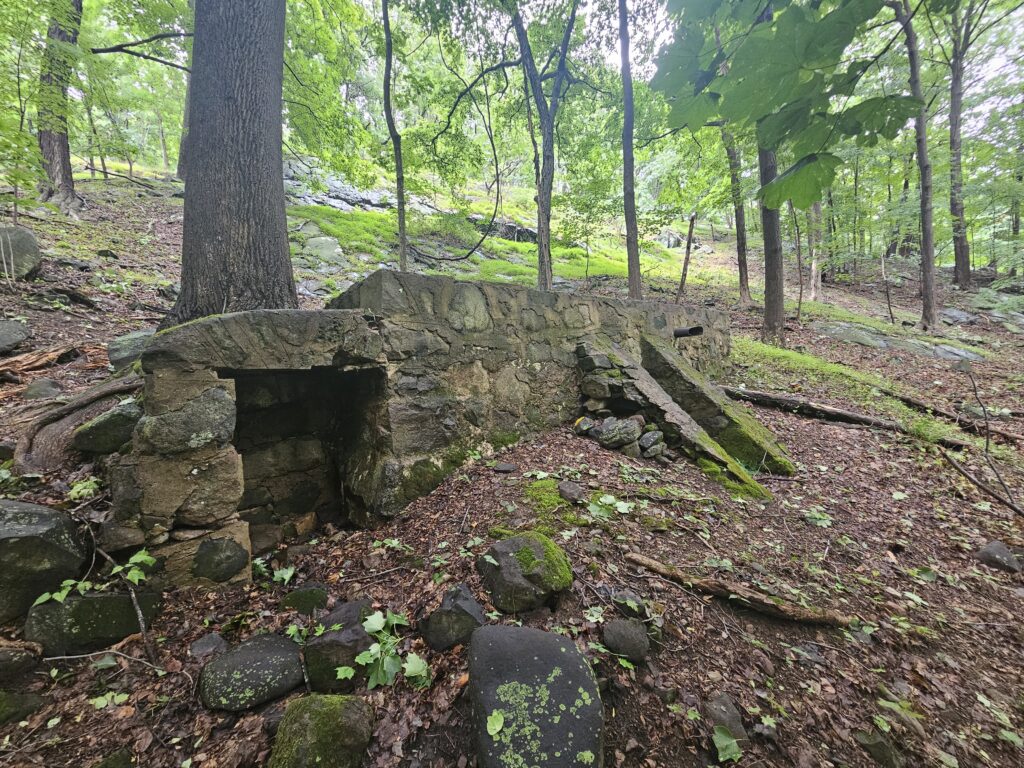
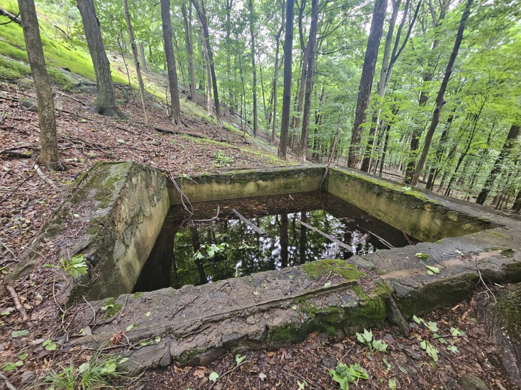
Just past the cisterns, the White Trail crosses the Yellow Trail and also becomes co-blazed with the Blue Trail. The Yellow Trail leads to the same destination but takes a more roundabout route. Continue straight on the White and Blue Trail before the two trails split. Stay to the left to continue on the Blue Trail.
In about a quarter mile, you will reach Roaring Brook again, this time the lower portion. Here, another water crossing carries both the Yellow (which has looped back) and Blue Trails.
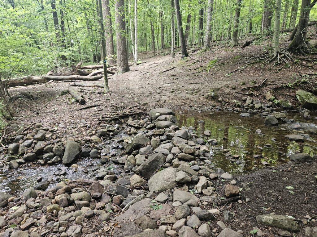
Immediately after the crossing, the Yellow and Blue Trails once again split. Keep right to stay on the Blue Trail, then almost immediately make another right to start the Red Trail.
Follow the Red Trail gradually uphill for 0.1 miles until you reach Roaring Brook Falls.
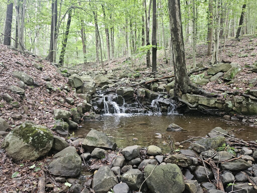
Roaring Brook Falls is a small cascade along the trail. While visible from the trail, a very short, gentle, unmarked trail leads to a small pool below the falls.
From here, I recommend returning to the Blue Trail. This is because, while the Red Trail appears to hug Roaring Brook on the trail map, the water is not visible for most of the trail, and the sections that are visible are underwhelming. The same is true for the Orange Trail across the brook.
Once back at the Blue Trail, turn right and follow it 0.3 miles back to the parking area. You may notice a spot labeled as Snedens Ice Pond on the map; this pond is very overgrown and not visible from the trail.
GPS Route
Attached is the route as described above for reference. Additionally users can download the route to use on their preferred GPS. How to use the GPS routes on your phone.
Review
As mentioned in the introduction, this is a nice and well-maintained park, but it is best for locals looks for a quick walk. Unlike many municipal-run parks, maintenance here is very good and it is clearly cared for rather than an afterthought. Everything in the park is good, but nothing is worth driving more than 10-15 minutes for.

Leave a Reply