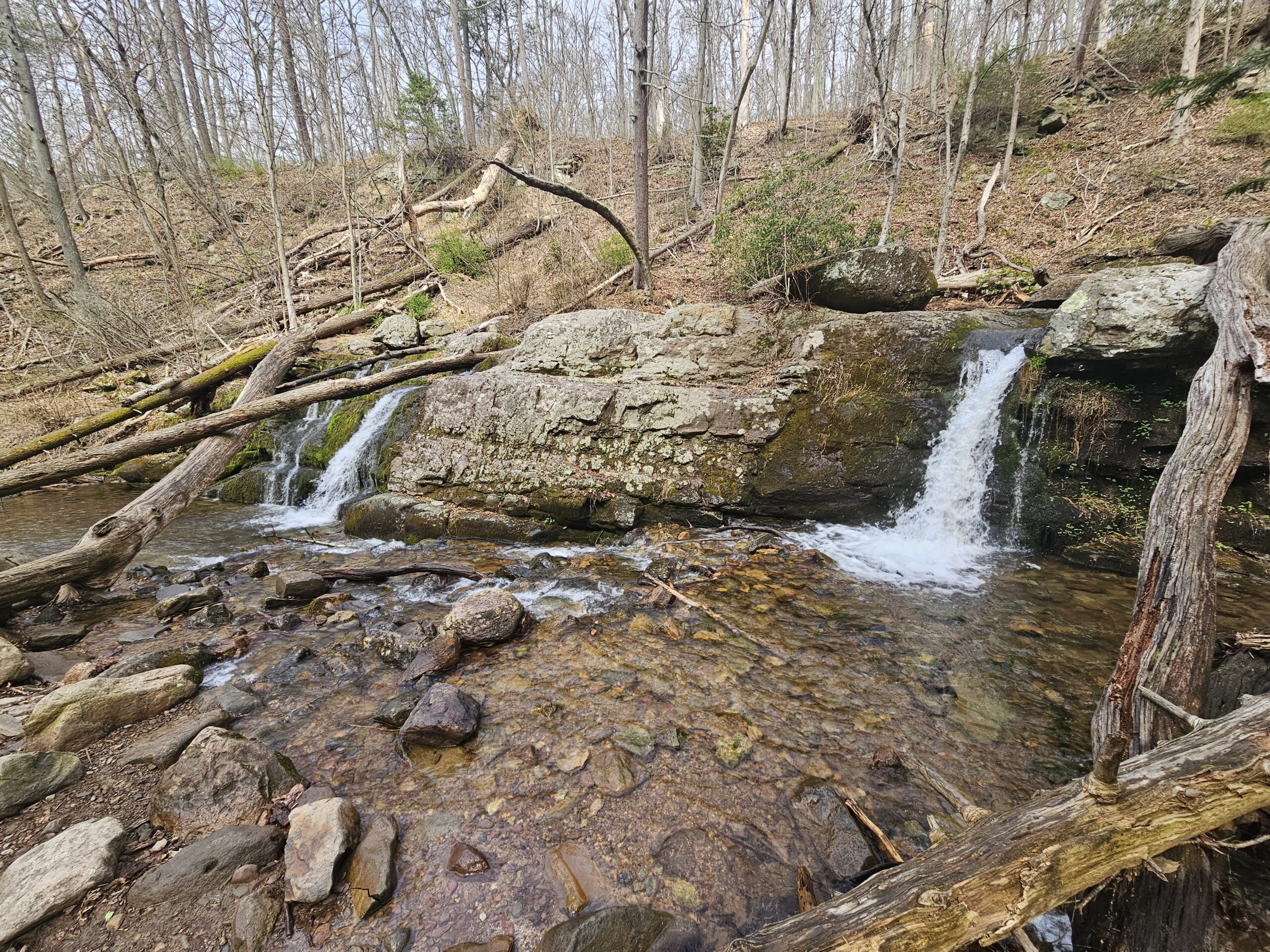
Located in Worthington State Forest in the Delaware Water Gap, the hike from Dunnfield Creek to Sunfish Pond is one of New Jersey’s most scenic trails. This hike follows the Green Dunnfield Creek Trail up the creek of the same name, past numerous cascades, including the notable Dunnfield Falls. The climb up concludes at the scenic Sunfish Pond, a glacial lake atop the Kittatinny Ridge. This trail is perfect for those looking for a long but rewarding hike.
Worthington State Forest
Location: Hardwick Township, Warren County
Restrooms?: Yes – portable toilets in the parking area
Other Attractions: Mount Tammany, Laurel Falls
Hike Information
Distance: 7.6 miles
Ascent: ~1,200 feet
Difficulty: Difficult
Attached is the route as described below for reference. The elevation profile and route were created on AllTrails. Users can download the route to use on their preferred GPS. Click here for information on how to use the GPS routes on your phone.
Background
Worthington State Forest and Delaware Water Gap
The hike is entirely within Worthington State Forest and within the Delaware Water Gap. The Delaware Water Gap a large geologic formation where the Delaware River cuts through the Kittatinny Mountains. This formation creates Mount Minsi in Pennsylvania and Mount Tammany in New Jersey. While this hike does not take you up Mount Tammany, you begin the hike at its base, and you do climb the Kittatinny Ridge along Dunnfield Creek.
Natural Areas
This hike passes through two separate natural areas: Dunnfield Creek and Sunfish Pond. According to the New Jersey Office of Lands Management:
The New Jersey Legislature established the Natural Areas System in 1961 to provide special protection for state lands that remain in a natural condition, including areas that support rare species. The Legislature then added to these protections through additional legislation enacted in 1975, designating the initial lands comprising the System and prohibiting the lease, sale or exchange of System lands or consumption of resources without authorizing special legislation. The Natural Areas and Natural Areas System Acts created a kind of Noah’s Ark for species, and the ecologically significant natural features and ecosystems of the state
Dunnfield Creek Natural Area comprises the majority of the hike and covers 1,085 acres. This area features a hemlock ravine and chestnut oak forest, and is a native trout habitat.
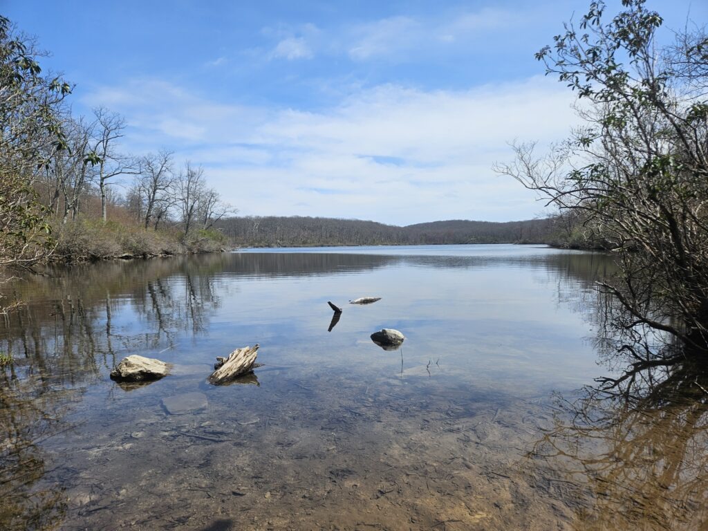
Sunfish Pond Natural Area features the namesake pond and covers 258 acres. Sunfish Pond is a 41-acre pond created by the Wisconsin Glacier located atop Kittatinny Mountain. A sign along the trail states that, due to the lake’s natural acidity, only a few hardy species, such as Pumpkinseed Sunfish and Yellow Perch, survive.
Sunfish Pond is also designated as a National Natural Landmark:
The National Natural Landmarks Program recognizes and encourages the voluntary conservation of sites that contain outstanding biological and geological resources. Sites are designated by the Secretary of the Interior for their condition, illustrative character, rarity, diversity, and value to science and education
While I have argued that some sites are not worthy of designation as a Natural Area (namely Ramapo Lake), both of these sites meet the state’s criteria and are worthy destinations.
The Hike
The hike is 7.6 miles and features a 1,200-foot ascent. You can add an extra 1.5 miles and 100 ascent by hiking around Sunfish Pond. The hike is rated as difficult due to its length and elevation gain, but is otherwise not too challenging. The ascent parallels Dunnfield Creek and mostly rises gently up. The only exceptions are one moderately steep, rocky section just before reaching Sunfish Pond and a few water crossings.
You will want to park in the circular Dunnfield Creek parking area. This is the second parking lot you see from the “Dunnfield Creek and Appalachian Trail” exit on 80 West. If you are parked on 80 East (the river side of the highway), locate the underpass to reach the circular lot. This is a very popular destination, and you may have trouble finding parking; if you arrive later in the day, you will likely have to park on the other side of the highway.
Beginning the Hike and Reaching the Waterfalls
From the circular parking lot, locate the White Appalachian Trail. Take this trail, which quickly crosses Dunnfield Creek via a long bridge, one of the few on the trail. This begins the half-mile-long section of trail featuring numerous small waterfalls in near succession.
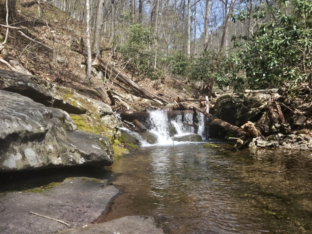
Almost immediately after crossing Dunnfield Creek, you will reach the first waterfall to the right.
Unnamed Waterfall on Dunnfield Creek 1
Height: 6 feet
Waterfall Coordinates: 40.97416, -75.12608
The first waterfall is a 6-foot cascade into a shallow pool. Unlike many of the waterfalls along Dunnfield Creek, it is easy to get close to this waterfall via a small, level, unmarked trail. If you do not wish to get close, it is also very clearly visible from the official trail itself.
Almost immediately after this first waterfall, you will reach a second unnamed waterfall.
Unnamed Waterfall on Dunnfield Creek 2
Height: 6 feet
Waterfall Coordinates: 40.974306, -75.125639
This second waterfall is a long and mostly flat chute, covering more horizontal distance than vertical distance. The end of the chute fans out before dropping into a shallow pool.
Unlike the first waterfall, this waterfall is fairly difficult to see from the trail, though it is still visible. If you want a closer view, there are unmarked trails at both the top and bottom of the chute. These trails are very steep and feature loose soil; you will likely need to use your hands to make it down and back up.
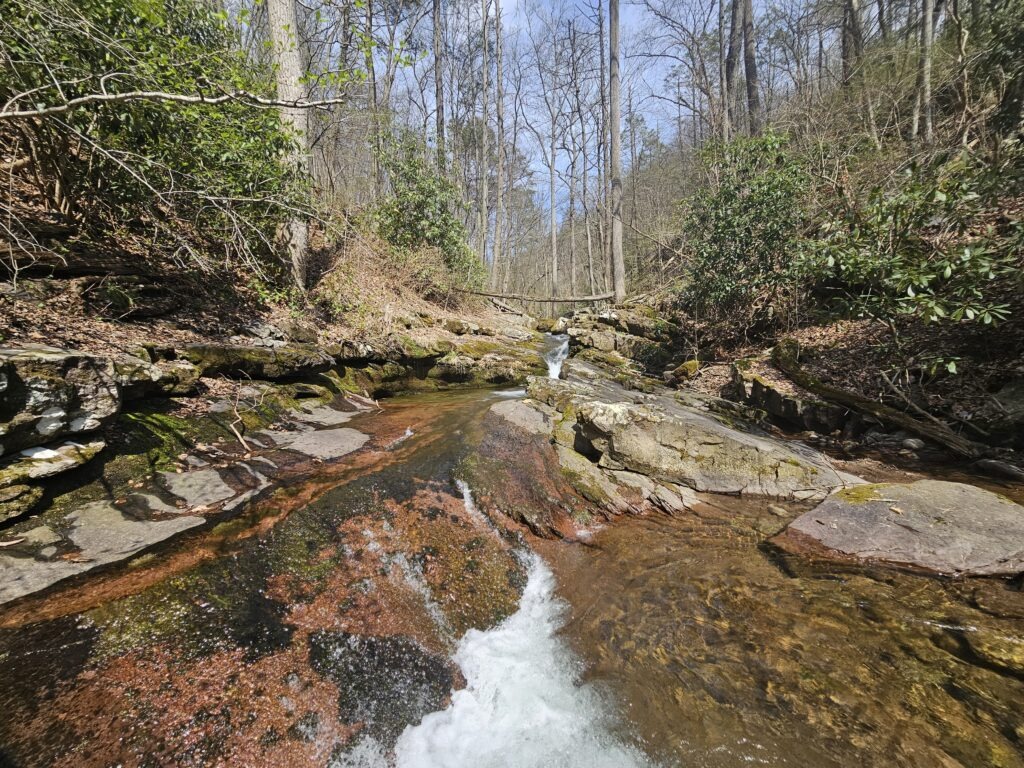
Since the waterfall is so long and flat, it is hard to see at once.
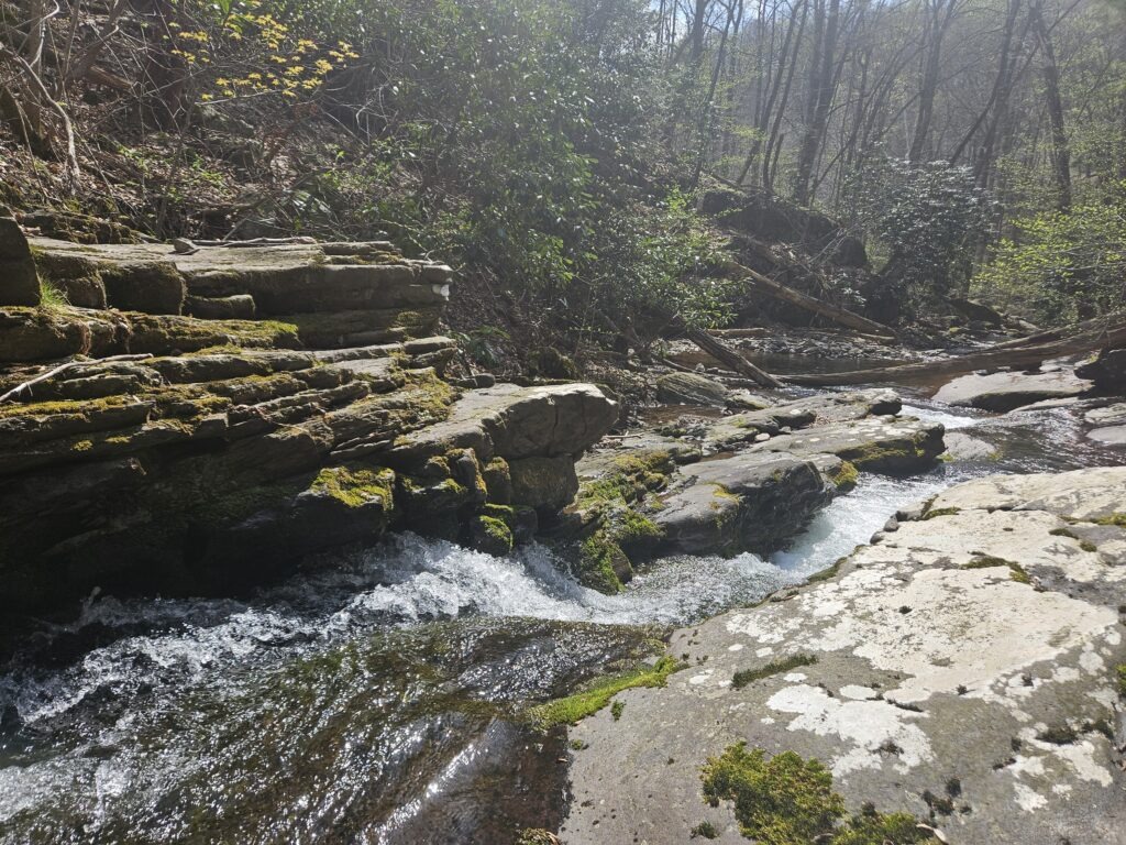
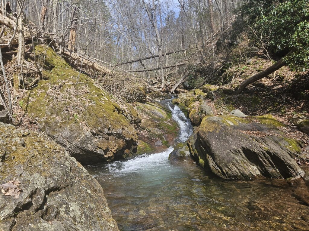
A short distance up the trail you will reach the third unnamed waterfall.
Unnamed Waterfall on Dunnfield Creek 3
Height: 7 feet
Waterfall Coordinates: 40.97523, -75.12380
Like the previous waterfall, this is another chute. This one is slightly steeper and drops into an impressively clear pool.
It is also difficult to see from the trail, but it is easier than the previous waterfall. If you would like to see it up close, you can once again make your way down a steep, unmarked trail.
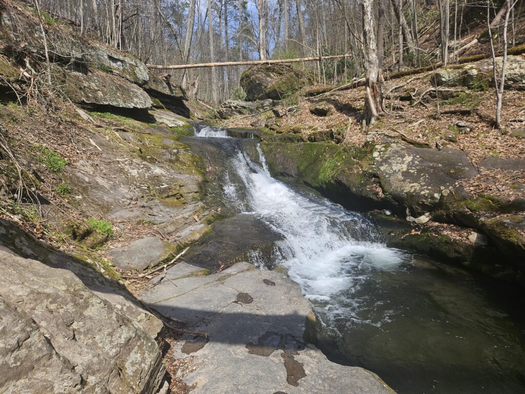
Just after this waterfall you will reach yet another unnamed waterfall.
Unnamed Waterfall on Dunnfield Creek 4
Height: 7 feet
Waterfall Coordinates: 40.97546, -75.12337
The final unnamed waterfall is a small slide featuring a small drop at both the top and bottom before dropping into a small pool.
This waterfall is once again below the trail, but you can get a decent view of it. For those wanting to get closer, you can also take a short but steep unmarked trail down to the creek.
Just past this waterfall, the trail forks. The Appalachian Trail departs to the left, while the co-blazed Green Dunnfield Creek Trail and Blue Pahaquarry Trail continue along Dunnfield Creek. Continue ahead following the Green and Blue Trails. In about a quarter mile you will reach the final waterfall of the hike:
Dunnfield Falls
Height: 17.4 feet
Waterfall Coordinates: 40.977158 -75.120598
Dunnfield Falls is easily the largest and most impressive waterfall of the hike. Here, Dunnfield Creek is at its widest and features a couple of small side-by-side cascades. The bedrock Dunnfield Creek flows over is slightly angled in relation to the actual creek, creating a somewhat interesting path that is best seen in person, especially from the rightmost cascade.
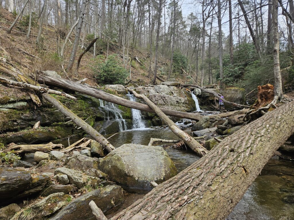
Fortunately, unlike the prior waterfalls, there are many ways to get close to Dunnfield Falls, though multiple blowdowns obstruct the view slightly. The trail also crosses Dunnfield Creek via the final bridge of the hike, providing easy access to both sides.
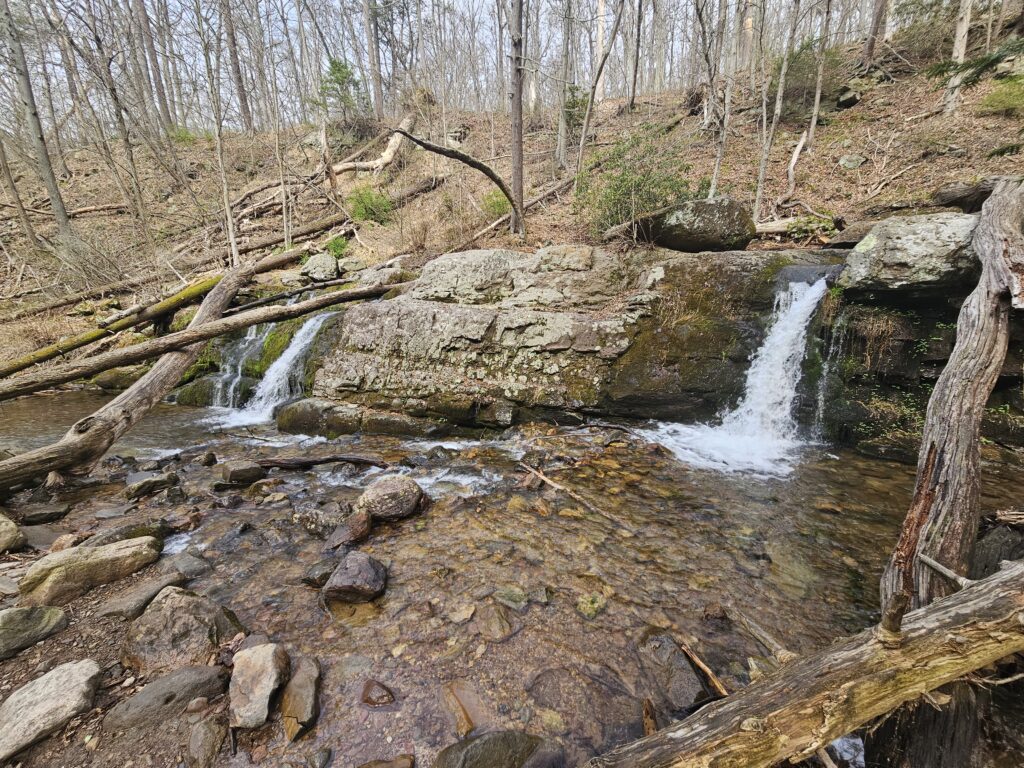
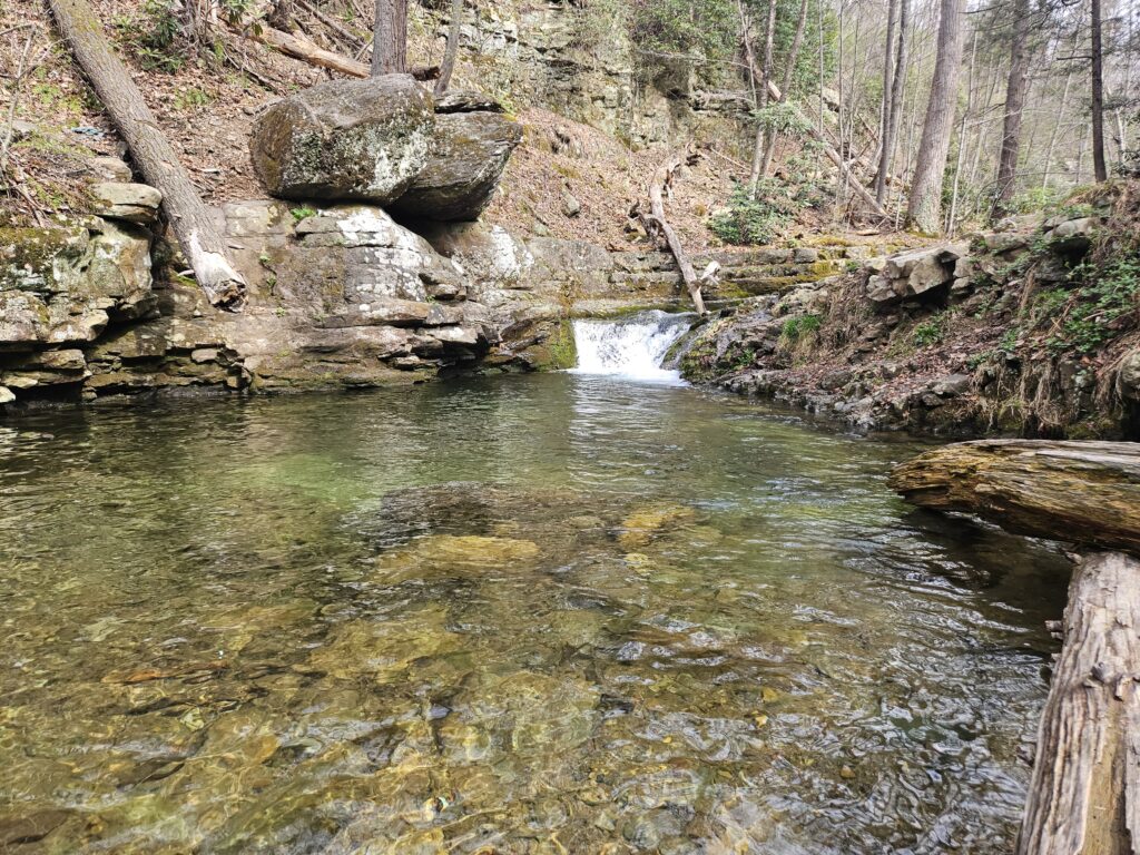
Just above Dunnfield Falls, though not visible from the trail is a large pool with a final small waterfall (that is too short to be counted in the main database) that drops about a foot or two into crystal clear water. This is also a well-known swimming hole, though signs are posted throughout the forbidding it.
Dunnfield Creek Trail
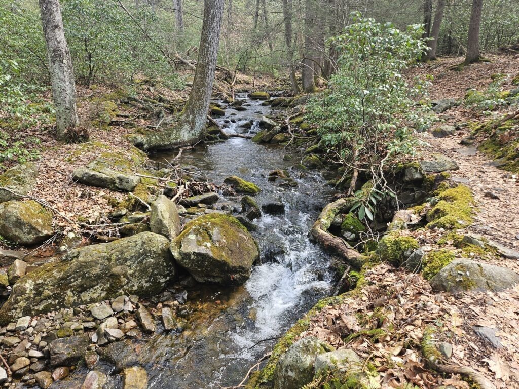
From Dunnfield Falls, begin the lengthy 3.5-mile hike to Sunfish Pond. Just past Dunnfield Falls, the Blue Pahaquarry Trail exits to the right. Remain on the Green Dunnfield Creek Trail. From here, the trail becomes a bit more rugged, though it is not challenging until the end except for some water crossings. The majority of the trail hugs Dunnfield Creek, though there are a few brief detours away from the water due to erosion.
About halfway to Sunfish Pond, you will reach the Red Holly Springs Trail. Continue straight on the Green Dunnfield Creek trail, unless you would like to make a shorter loop and skip Sunfish Pond. A little bit past this intersection, the official map labels sawmill ruins. I have never noticed these ruins and cannot find much information on them online, so they are almost certainly fairly small.
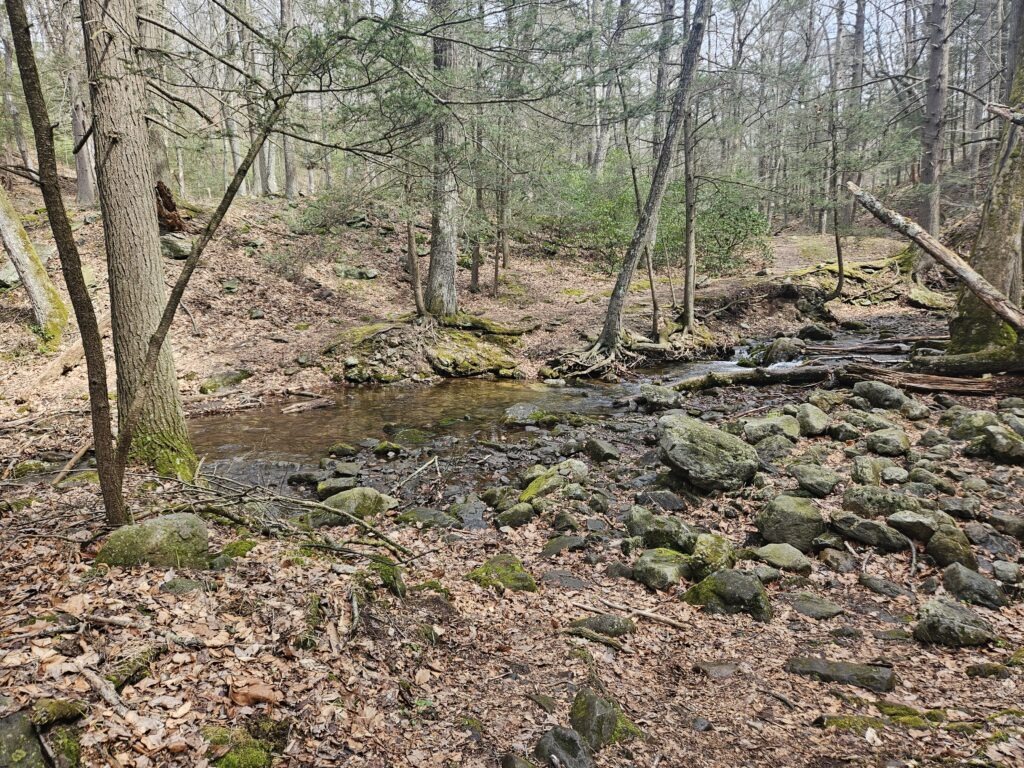
The trail also features multiple unbridged water crossings. Most of these crossing feature well placed rocks to hop across, but the first one does require you to go slightly up or downstream to find an easy path across.
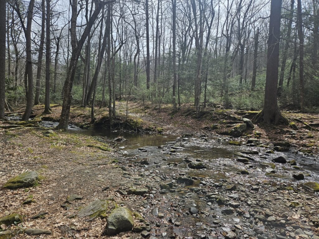
At one point, the trail briefly splits for a high-water bypass which skips two back-to-back water crossings. Honestly, I found the area being bypassed easier than some of the water crossings without bypasses. If the previous ones were challenging, you may want to skip these, but if you had no issue, you might as well follow the main trail as it is more interesting.
Sunfish Pond
Eventually, the Green Trail and Dunnfield Creek separate for the final time. It may be surprising, but Dunnfield Creek does not actually flow from Sunfish Pond. Instead it is fed from runoff into the valley in which it sits.
At this point, the Green Trail passes through a short flat section before reaching the steepest section of the hike. This short, but mildly steep section climbs about 300 feet over the next half mile. This is also the rockiest section of the hike and unfortunately has limited shade.
Once you reach the top, the trail descends slightly before ending at the Appalachian Trail. While the trail does not reach Sunfish Pond directly, a short trail leads to a good view of the pond.
The Return Hike
From Sunfish Pond, turn left onto the White Appalachian Trail (heading away from the pond). This marks the start of the 3.7-mile return hike to the parking area. This trail is a wide fire road back to the parking area, descending over 1,150 feet. Honestly, it does not feel like you climbed that high on the way up, as the Dunnfield Creek Trail was fairly gentle. I can definitely see noticing the elevation gain if you do the trail in reverse by climbing up via the Appalachian Trail, because as you will learn if you take this hike, this section of the trail is fairly boring. There is nothing wrong with it, but also nothing special.
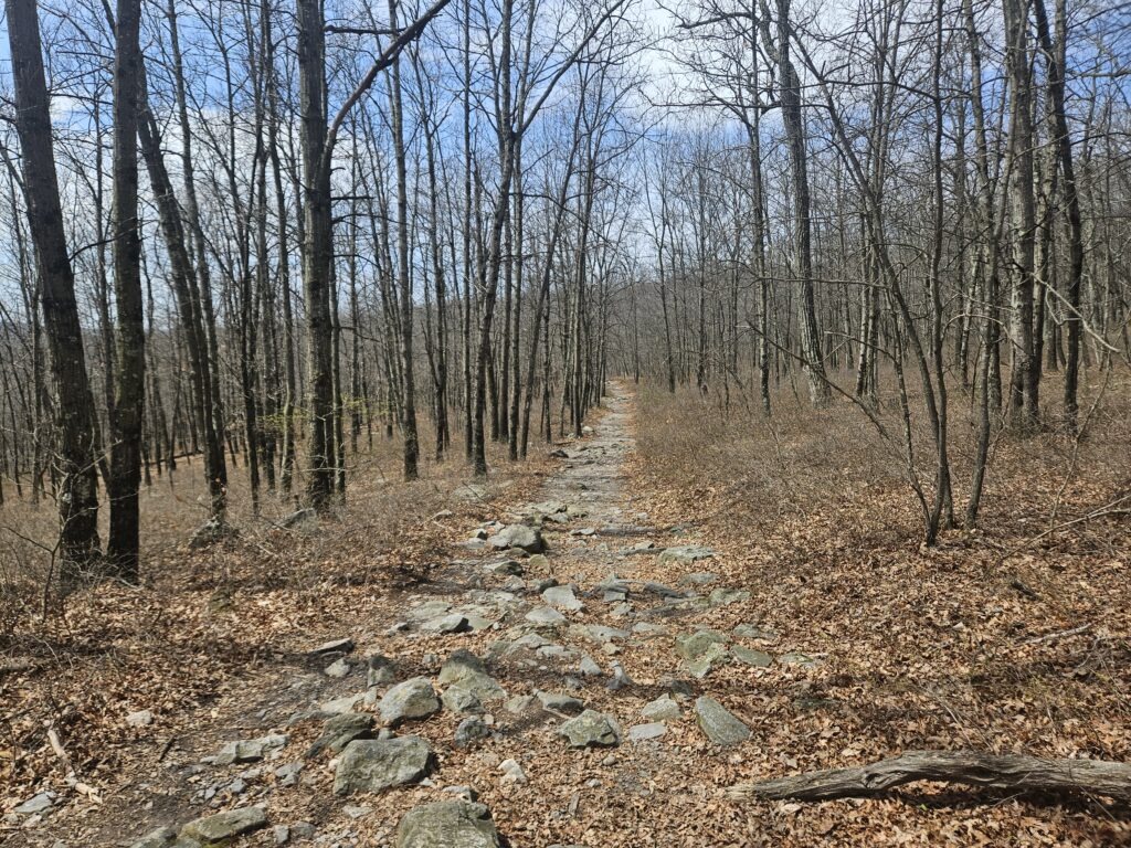
Take this trail until you reach Dunnfield Creek, where you turned to take the Dunnfield Creek Trail at the start. The entire of the trail until you reach Dunnfield Creek again features a mostly gradual climb through easy, occasionally rocky terrain.
Fortunately, you end the hike on a high note, as you once again hike through the section of trail featuring the series of unnamed waterfalls.
GPS Route
The Dunnfield Creek and Sunfish Pond hike is excellent. The highlight is the ascent up Dunnfield Creek, which features multiple scenic waterfalls and hugs the stream for most of its length. Sunfish Pond is also a good midway point, featuring scenic views and is a good spot to take a lunch or rest break.
The only downsides of this hike are:
- It becomes unbearably crowded in the summer, sometimes making parking impossible. While most visitors hike the neighboring Mount Tammany, Sunfish Pond is also a popular destination, and the trail, especially up to Dunnfield Falls, can be congested.
- The return hike from Sunfish Pond is just okay. I still recommend hiking up Dunnfield Creek first, as there is more to look at, making the climb feel easy.
If you are able to go on an off-peak weekday and are looking for a longer excursion, this is an excellent hike.

Leave a Reply