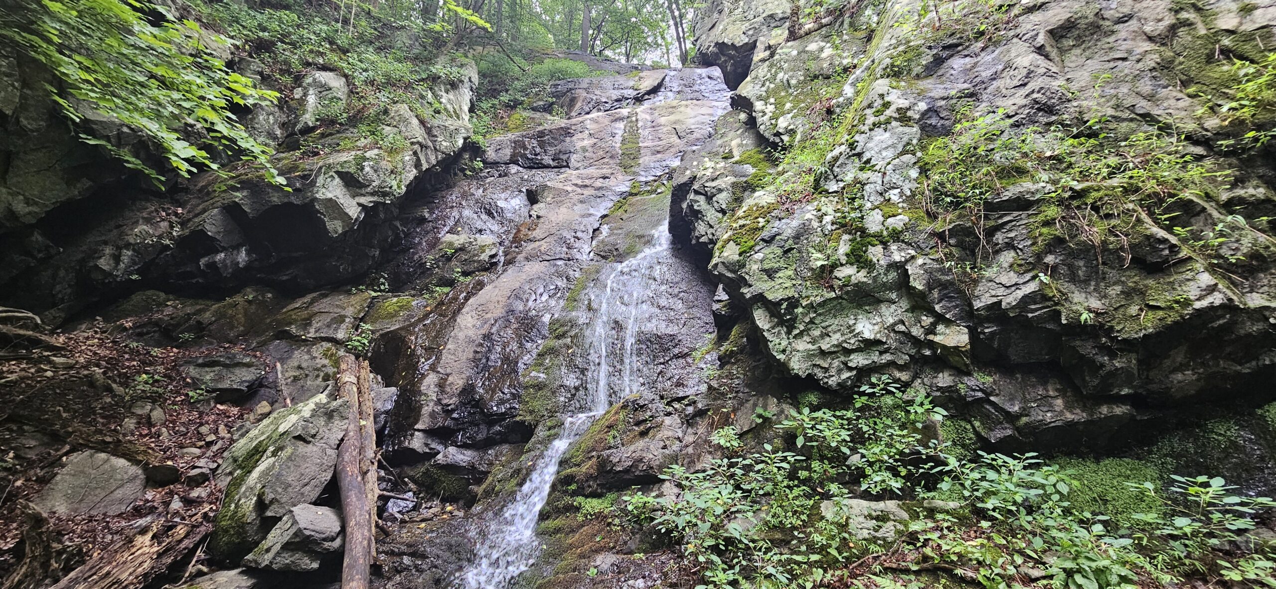
Cataract Park is an often overlooked park located in Washington Township in Morris County. Although the park is not large, it is very well-maintained and surprisingly rugged. The park’s main highlights include the 51.5-foot Cataract Falls, one of the state’s tallest waterfalls, and an old mine. Continue reading to learn how to get to these two relatively unknown destinations.
Cataract Park
Location: Washington, Morris County
Website: N/A
Restrooms: No
Hike Information
Distance: 1.5 miles
Ascent: ~550 feet
Difficulty: Moderate
Background
Cataract Park is located on Schooley’s Mountain. The easternmost side of the mountain is home to the much more well known (and also worth visiting) Schooley’s Mountain County Park. The area was heavily mined for iron, and the remains of one of these mines are located in the park.
The Hike
The hike to Cataract Falls is moderately difficult despite the short distance. This is because the trail is surprisingly steep at times, and unlike many steep New Jersey hikes, the surface is mostly loose rocks and natural soil. The loose rocks and soil make some of the steep parks a little slippery at times. I recommend beginning by hiking up the Blue Trail and returning on the Red Trail, as the Red Trail is gentler and has a lower risk of slipping when descending.
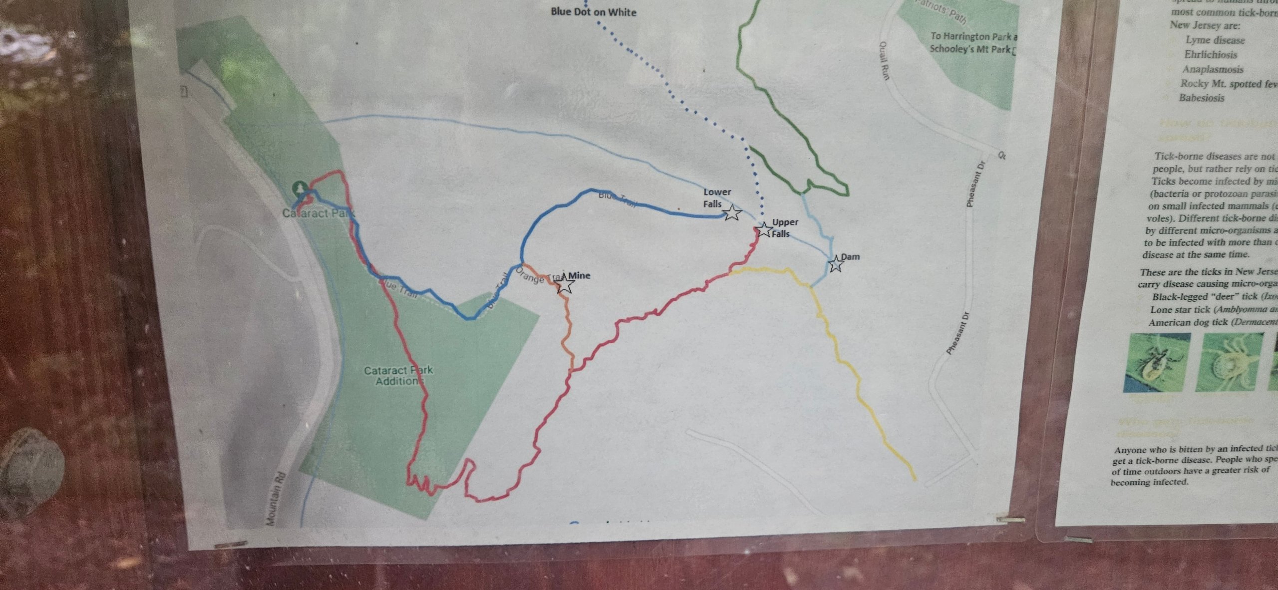
Despite having no trail map available online, there is one in the directory at the start of the trail. I recommend taking a picture of it. I also attached a picture I took of the map above. If you forget to take a picture of the map, do not worry as the park is extremely well marked. Every intersection features a sign directing hikers on the direction to take for the waterfall views and the mine views.
Reaching the First Waterfall View
To reach the first, and more impressive view of the falls, you will need to take the Blue Trail. From the parking lot, cross the bridge, where you will immediately reach a sign indicating the “moderate” Red Trail to the left, and the “steep” Blue Trail to the right. These trails actually merge together a comically short distance past this sign, but for simplicity I recommend taking the Blue Trail so you remain on the same color trail all the way to the first viewing area.
Continue on the Blue Trail until you reach another intersection. This time, the Blue Trail turns left and the Red Trail turns right. Take the Blue Trail here. The trail becomes fairly steep for a short distance. You will soon reach an intersection with the Orange Trail. Continue on the Blue Trail until the Blue Trail ends at the bottom of Cataract Falls.
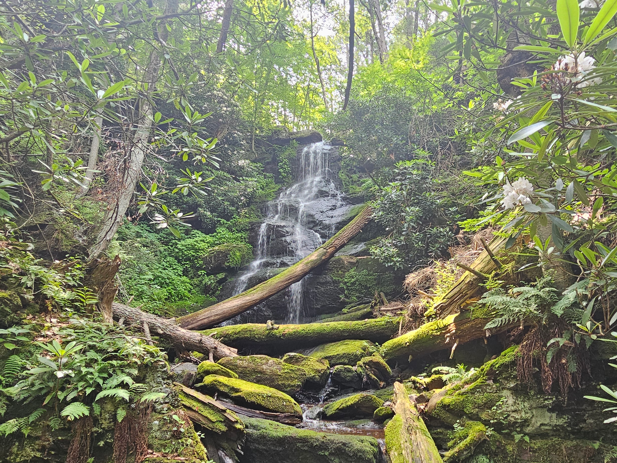
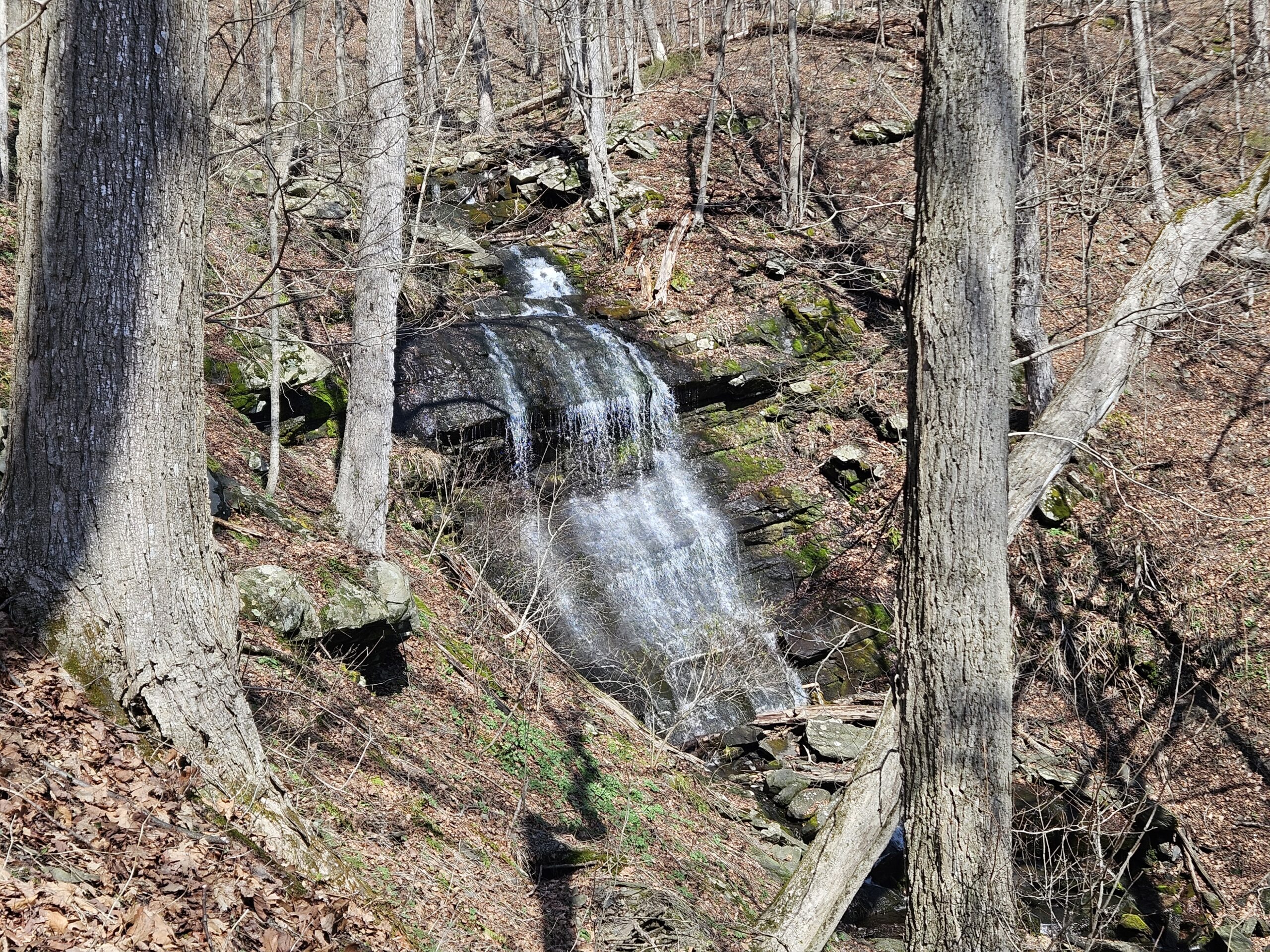
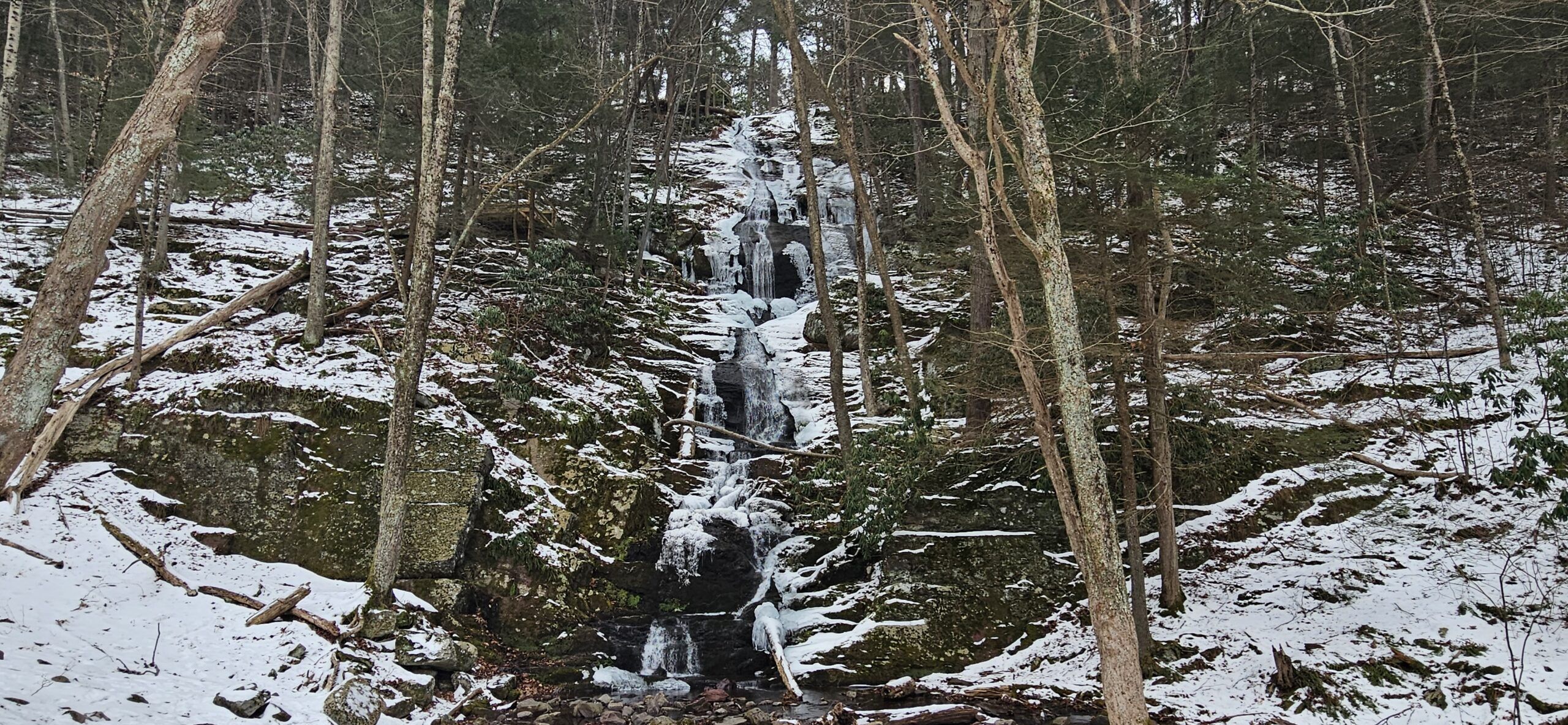
Cataract Falls is a very tall waterfall, and it is unfortunately impossible to see the full 51.5-foot drop at once. The main drop of Cataract Falls is a tall, near-vertical drop down the mountain. The water flow is stronger on the right side of the waterfall. Unfortunately, there is also a large rock partially blocking the water on that side of the falls.
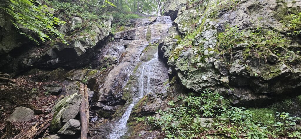
It is possible to carefully climb down to the streambed to get a head-on view of the falls. There is also a small bench at the end of the trail that provides a decent view from the side.
Unfortunately, this waterfall has a small drainage basin, meaning that during times of low rainfall, the waterfall can dry to a trickle. The picture below was taken at the beginning of August, the day after significant (but overdue) rainfall and it is still not flowing strong. The best time to visit is likely in the spring.
From here, you may be tempted to take a shortcut by hiking off-trail to the upper viewing area. I do not recommend doing this. The surrounding terrain is very steep and features lots of loose soil and rocks.
Young’s Mine
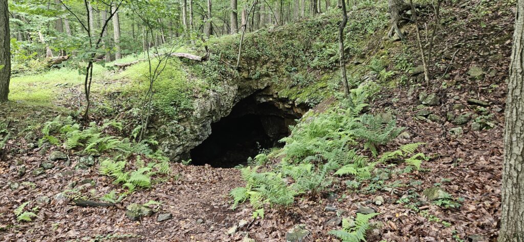
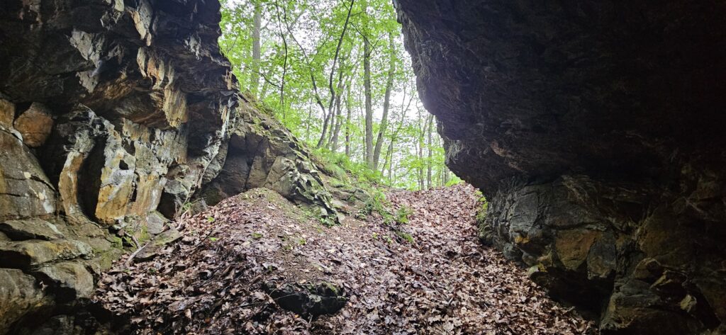
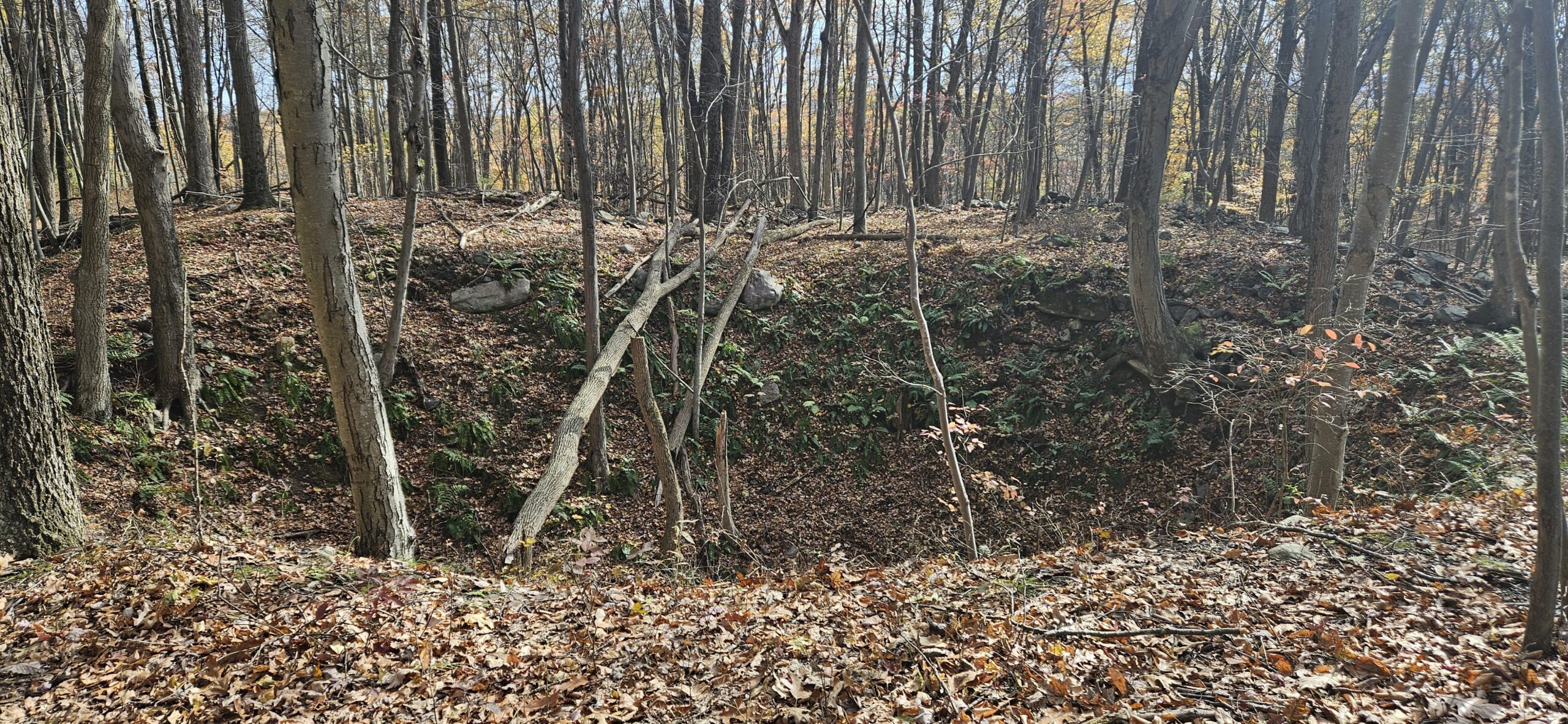
From the lower viewing area, begin to walk back on the Blue Trail. You will soon reach the intersection with the Orange Trail again. Turn left onto the Orange Trail, where you will quickly reach Young’s Mine. The mine is obvious and impossible to miss along the trail. An official sign has a QR code imprinted on it, leading to a text file with some information on the mine:
Locally known as Young’s Mine, this opening may have been originally part of the Marsh Mine complex as it is located just 0.5 miles north of the main shaft of the Marsh Mine and located on property owned by W. W. Marsh in 1868. The main Marsh Mine was worked between 1855 and 1868. Attempts to find additional ore were attempted in 1872 and 1882 but were generally unsuccessful.
The mine itself is pretty small, but visitors are able to descend into the opening a short distance.
The Upper Waterfall Area
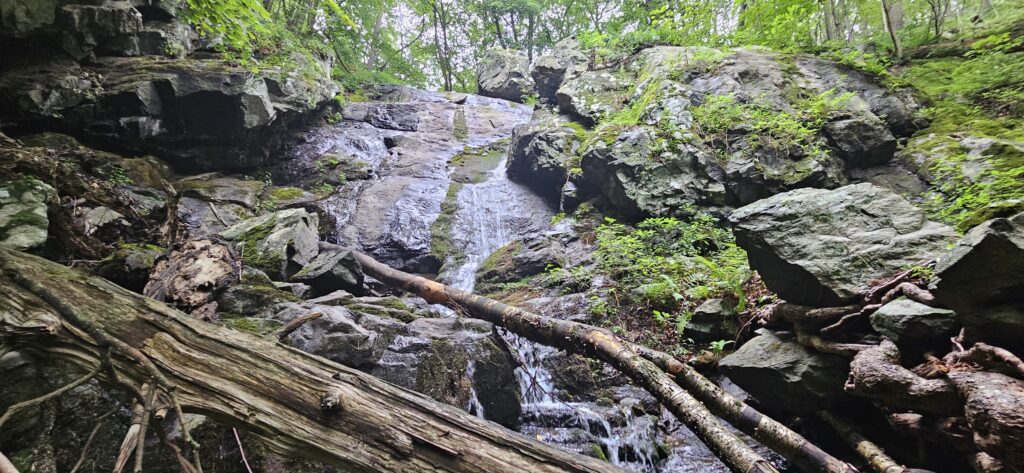
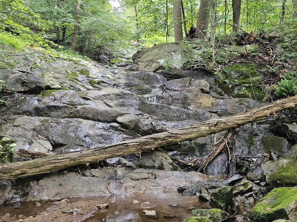
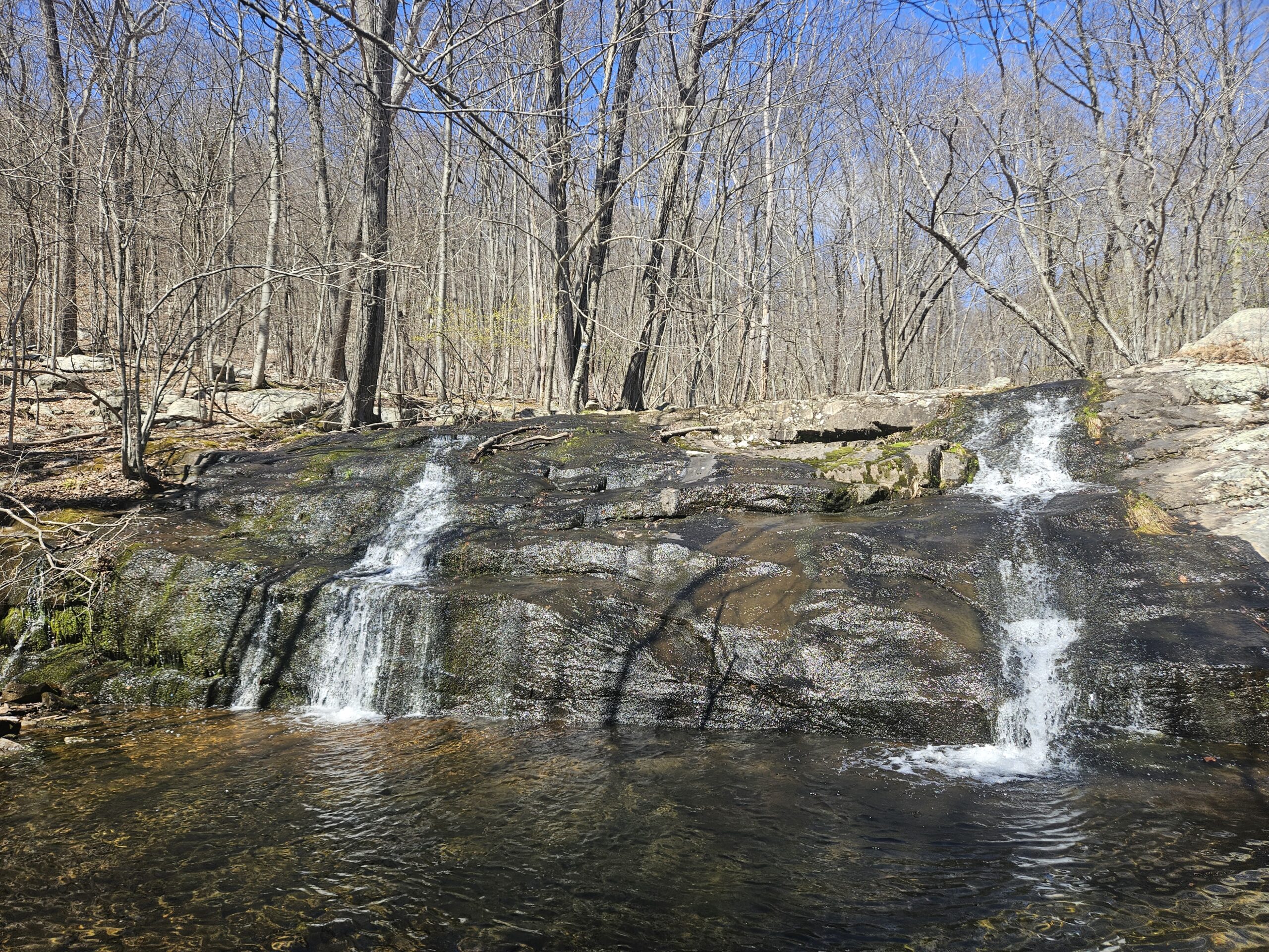
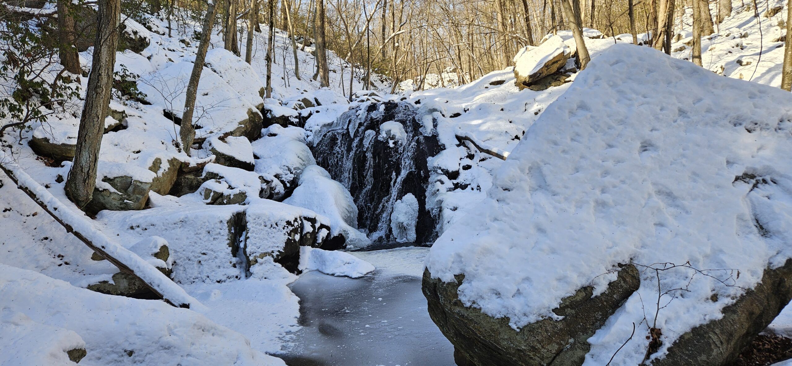
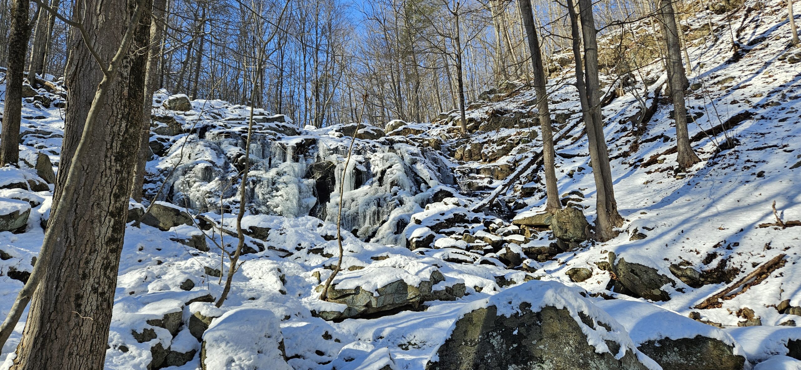
From the mine, continue uphill on the Orange Trail until you reach the Red Trail. Once at the Red Trail, turn left and take the trail a short distance until you reach Cataract Brook again. Once at Cataract Brook, you can see the uppermost tiers of the waterfall above. There are two distinct tiers here, both about 8 feet tall. If you look downstream, you can see where the massive main drop is just ahead.
The Return Hike
From the waterfall, return on the Red Trail to the intersection with the Orange Trail. From here, you have two options. You can take the Red Trail the rest of the way back. Alternatively, take the Orange Trail back to the Blue Trail. I recommend returning on the Red Trail as it is a more gradual hike to the parking area.
GPS Route
Attached is the route as described above for reference. Additionally users can download the route to use on their preferred GPS. How to use the GPS routes on your phone.



Leave a Reply