Wildcat Ridge is a large Wildlife Management Area located in Rockaway in Morris County. Wildcat Ridge was once the home to a large iron mining facility operating from the 1720s to 1913. While the mines have been closed for over a century, the human impact on the land is apparent. From a large “Bat Cave” at the mine entrance, to a cemetery, to various mine test pits and building ruins and foundations, Wildcat Ridge is a fascinating hiking experience.
Park Name
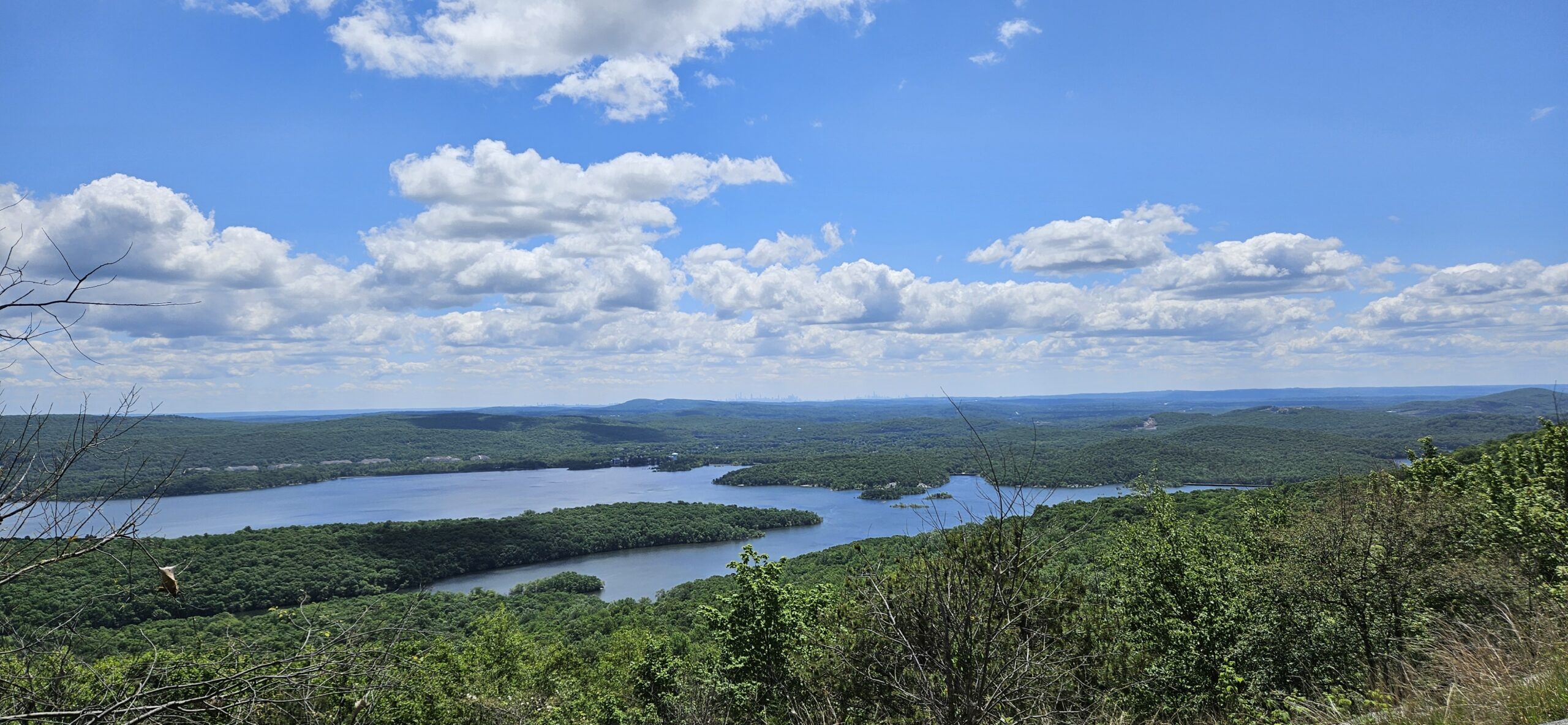
Other Attractions: Splitrock Reservoir
Hike Information
Distance: 5 miles
Ascent: 900 feet
Difficulty: Moderate-Difficult
Wildcat Ridge has many old mine holes. Most are filled or blocked, but there are mine openings in the area. Stay on the trail. Areas of heightened danger have signs posted.
The Bat Cave
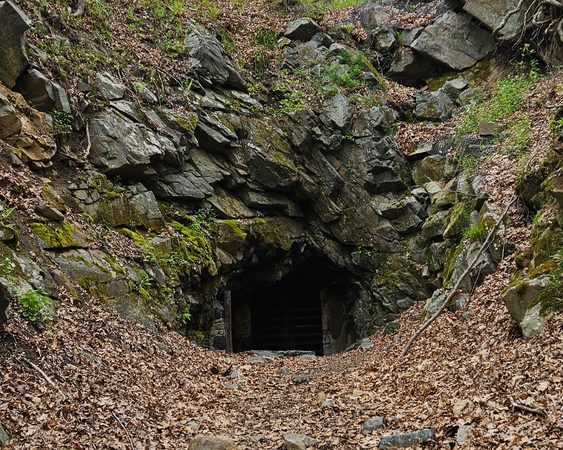
Begin at the parking lot off of Green Pond Road listed above. From the parking lot, walk into the woods where you will immediately see the first sign of mining activity in the form of the ruins of an old building of some sort. You will quickly see a fork with the Orange Trail on the left and the White Trail on the right. Turn right to take the White Trail. Almost immediately after, you will see the White Trail turn left. Take this trail until you see an obvious path and clearing to the right. This is where you will find the Hibernia Mine entrance, also known as the “Bat Cave.”

At one point, the mine housed 30,000 bats, mostly Little Brown Bats. Today, the mine is home to only a few hundred bats after White Nose Syndrome entered the cave in 2009. There is an observation platform to watch the bats, but it has fallen into disrepair and will likely not be repaired until the bat population rebounds. Fortunately, Little Brown Bats have begun to show some resistance to the fungus responsible for White Nose Syndrome.
Unfortunately, the mine is currently gated off, initially to prevent trespassers but now also to limit access for the fungus responsible for the White Nose Syndrome. Despite this, the mine leaves a mighty impression. The surrounding area was excavated long ago, creating a tunnel-like effect as you approach due to the steep walls left on either side. As you approach, you will feel increasingly cool air rushing out before you reach the metal grate blocking entry. You cannot see much inside, but the mine itself was massive, spanning multiple miles long and multiple levels deep. A map of the system is below. The “Bat Cave” entrance is highlighted. For more maps of the Hibernia mine property, click here.

Saint Patrick’s Cemetery
From the mine entrance, continue on the White Trail until you reach an intersection with the Orange Trail. Turn right onto the Orange Trail and in about a quarter mile you will see a small sign directing you the the cemetery down an unofficial trail. Turn left and you will quickly reach Saint Patrick’s Cemetery.

The cemetery was established in 1869 during the height of mining in the area. If you explore the mine, you will find headstones from the 1800s. Oddly enough, despite the mines ceasing operations in 1913, there are some surprisingly recent headstones, as I found some from the last 1900s. Despite the sign being in disrepair, it is clear that people do maintain the property, with the area mowed in spots and some headstones cleaned.

While Saint Patrick’s Cemetery is interesting, you will quickly find it is very buggy. I recommend visiting on a cooler day to try and avoid the bugs. Even in April when I visited, the bugs were unbearable.
The Hawk Watch
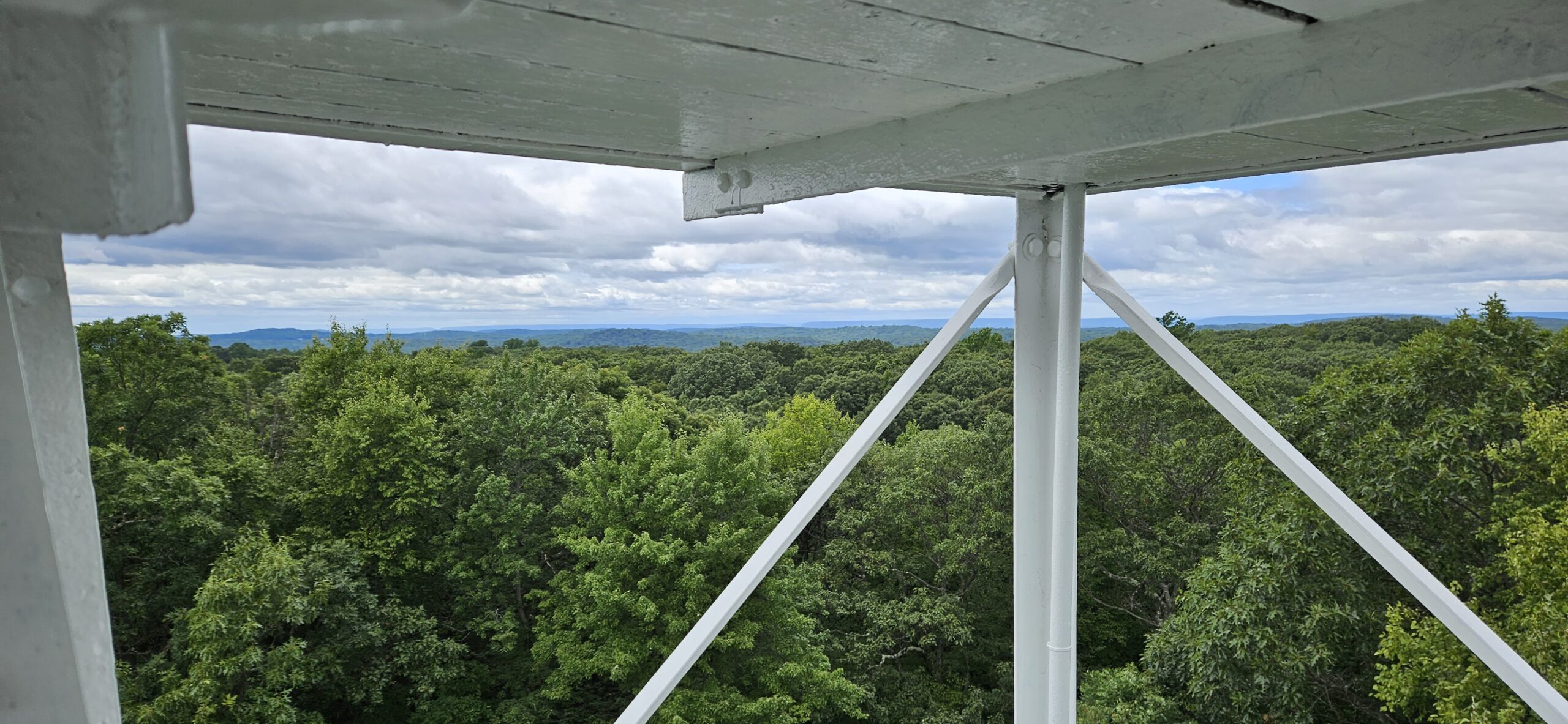
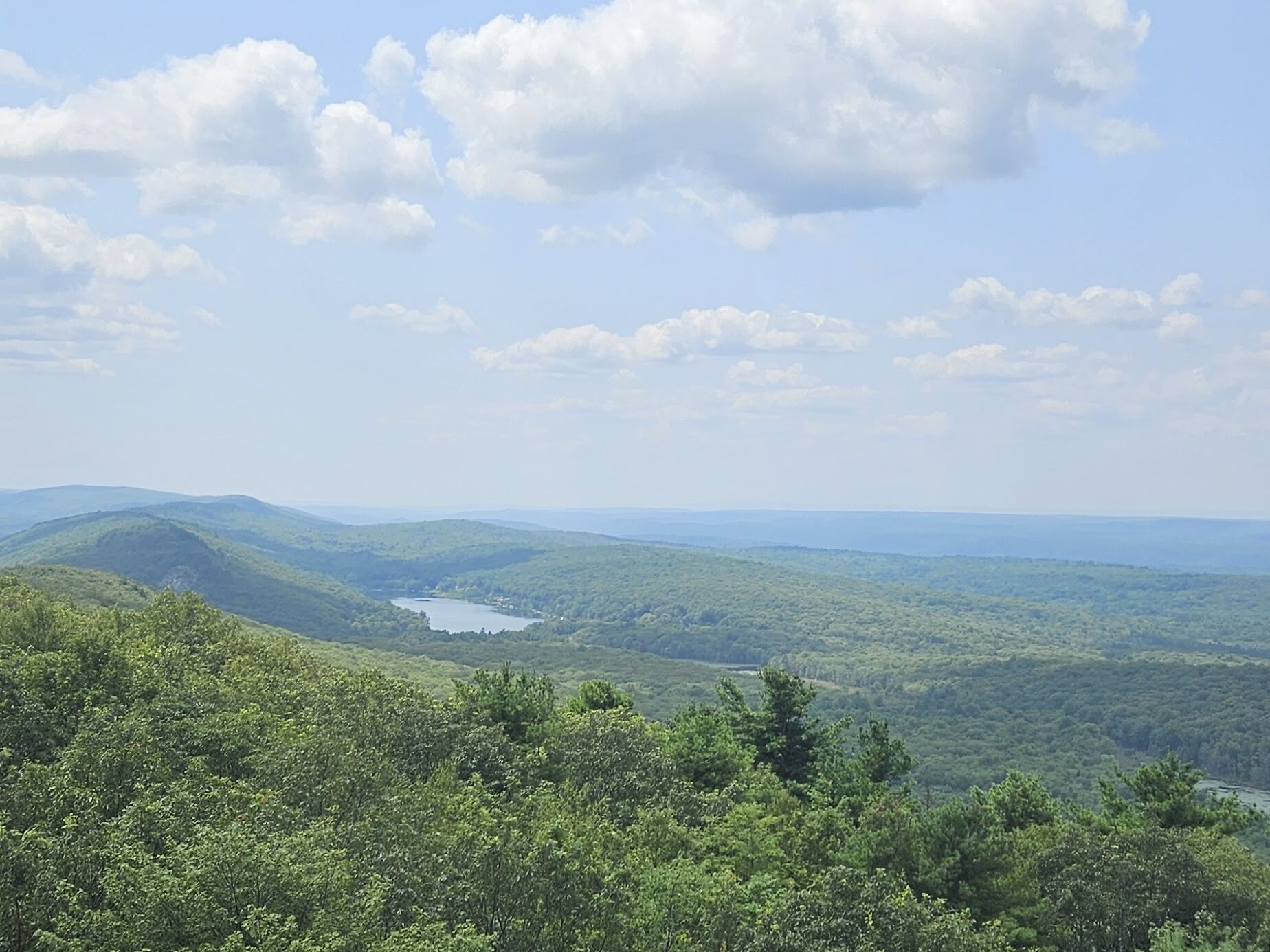
From Saint Patrick’s Cemetery, return to the Orange Trail. In about a half-mile, you will reach another parking area. You will see a gated gravel road to the right. The Orange Trail also turns right here. You can hike either the gated road or the Orange Trail, as they parallel each other, leading to the same place. I think the Orange Trail is more enjoyable. Take the Orange Trail until you reach an overlook commonly known as “The Hawk Watch.”
Unfortunately, it was foggy on my most recent visit, so I was not able to see much of the view. On a clear day, the view is decent, but there are better views in New Jersey (such as the Wyanokie High Point). The reason most people visit the overlook is for its excellent hawk viewing opportunities. On a clear day, you will often find many birdwatchers here, and this will likely be the only busy area of the hike.
Beech Mine
From the overlook, retrace your steps on the Orange Trail until you quickly reach an intersection on the White Trail. Turn left onto the White Trail and in a few hundred feet, make another left onto the Red Trail. The Red Trail gently winds its way down the steep hill. The Red Trail is the preferred descent as it is primarily used by mountain bikers, and as such, it is the smoothest and gentlest path down. At the bottom of the hill, you will reach an intersection with the Blue Trail. Turn right onto the Blue Trail. After about a mile, you will reach a fork with the Blue Trail going right down a series of switchbacks, and an obvious unmarked woods road to the left. Make a left onto the woods road. (Note, the trails in this area are confusing. I recommend using the GPS information provided below.) Continue on the woods road where you start to see signs of mining activity.
This area is known as the Beech Mine. This mine was separate from the “Bat Cave” passed earlier, but is located along the same iron vein. You will find many structures ranging from foundations to buildings here in varying states of disrepair.

Note that there is a sign against trespassing in this area posted by the Rockaway Township Sportsmen Club. Property maps show that this land is all owned by the State of New Jersey, and official trails do pass through this area. For these reasons, I believe that you are allowed to be there, but it is something to be aware of. You will also see many “Area Closed” signs from the Department of Environmental Protection. These signs warn about the many abandoned mine openings in the area. Do not go past any of those signs for your safety, but you are still able to hike on the trails and woods roads. All the trails go safely around any potentially dangerous opening.


The Return
From Beech Mine, it is a relatively flat 1-mile hike back to the car on the Blue Trail. The final section of the hike is popular with (illegal) dirt bikes. Use caution, but fortunately, they are easy to hear.
GPS Route
Attached is the route as described above for reference. Additionally users can download the route to use on their preferred GPS. How to use the GPS routes on your phone.
Additional Information
- Wildcat Ridge is a Wildlife Management Area. This means that passive recreation, such as hiking, is not the priority of the land. The official trails (the ones with colors) are well maintained by Wildlife Management Area standards, but the unmarked trails range from passable to severely eroded. Stay on the official trails.
- As a Wildlife Management Area, the park is commonly used for hunting. Use caution during hunting season, or visit on a Sunday when hunting is illegal.
Leave a Reply