The Delaware Water Gap and Worthington State Forest are home to a number of very good waterfalls. These include one of the tallest waterfalls in the state: Buttermilk Falls and the popular Van Campens Falls. Aside from those, a less well known trio of waterfalls are located near the ever-popular Mount Tammany and Sunfish Pond. While hiking to those two destinations require some serious uphill climbing, these waterfalls require minimal effort to reach and are perfect for those wanting to experience the park on an easier trail.
Worthington State Forest
Other Attractions: Mount Tammany, Sunfish Pond
Lower Laurel Falls
Height: 16 feet
Waterfall Coordinates: 41.012263 -75.081941
Distance: A few hundred feet
Easy of Access: Easy
Rating:
Explore North Jersey Review: A good waterfall requiring minimal effort to reach
This waterfall is located off of official trails
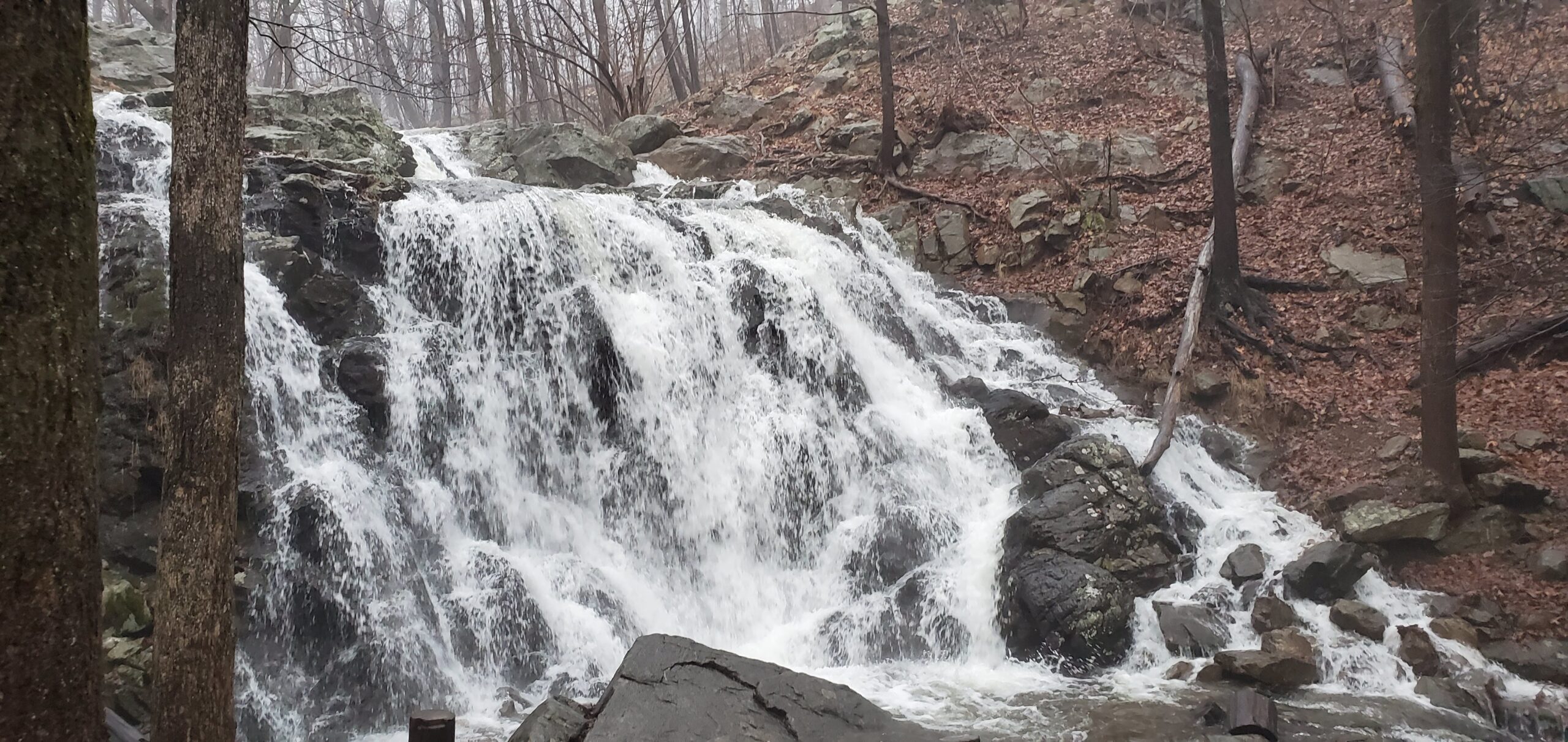
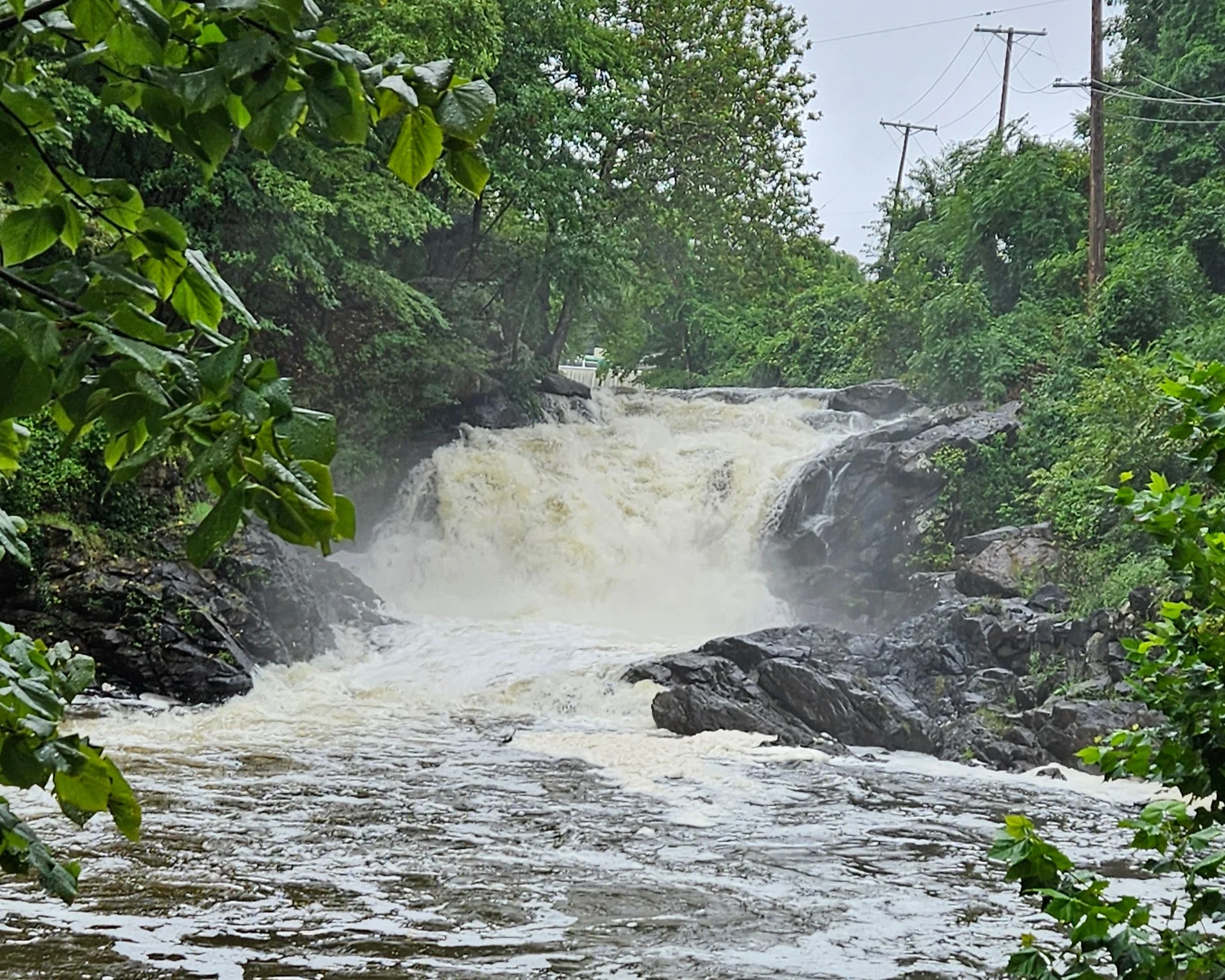
Begin at the Douglas Parking Area off Old Mine Road which is just outside the Worthington State Forest campground. Depending on the time of the year you visit, you might see the falls themselves from here. Cross Old Mine Road where you will see two trails: The Orange Garvey Springs Trail on the left, and the Blue Douglas Trail on the right. Briefly walk onto the Blue Douglas Trail on the right side of the stream. Almost instantly you will see an unmarked user-made trail to the left heading upstream towards Lower Laurel Falls. Lower Laurel Falls is a horsetail waterfall down a steep flat rock.

Middle Laurel Falls
Height: 23.4 feet
Waterfall Coordinates: 41.011694 -75.081714
Distance: A few hundred feet
Ease of Access: Easy
Rating:
Explore North Jersey Review: A good waterfall requiring minimal effort to reach
This waterfall is located off of official trails
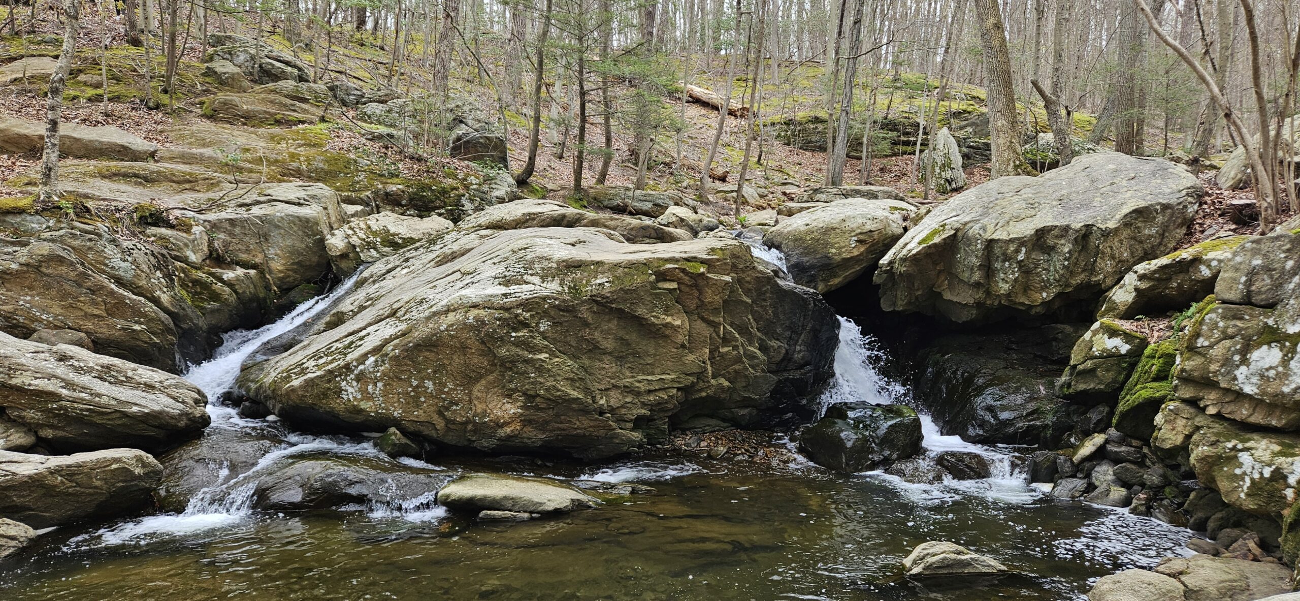
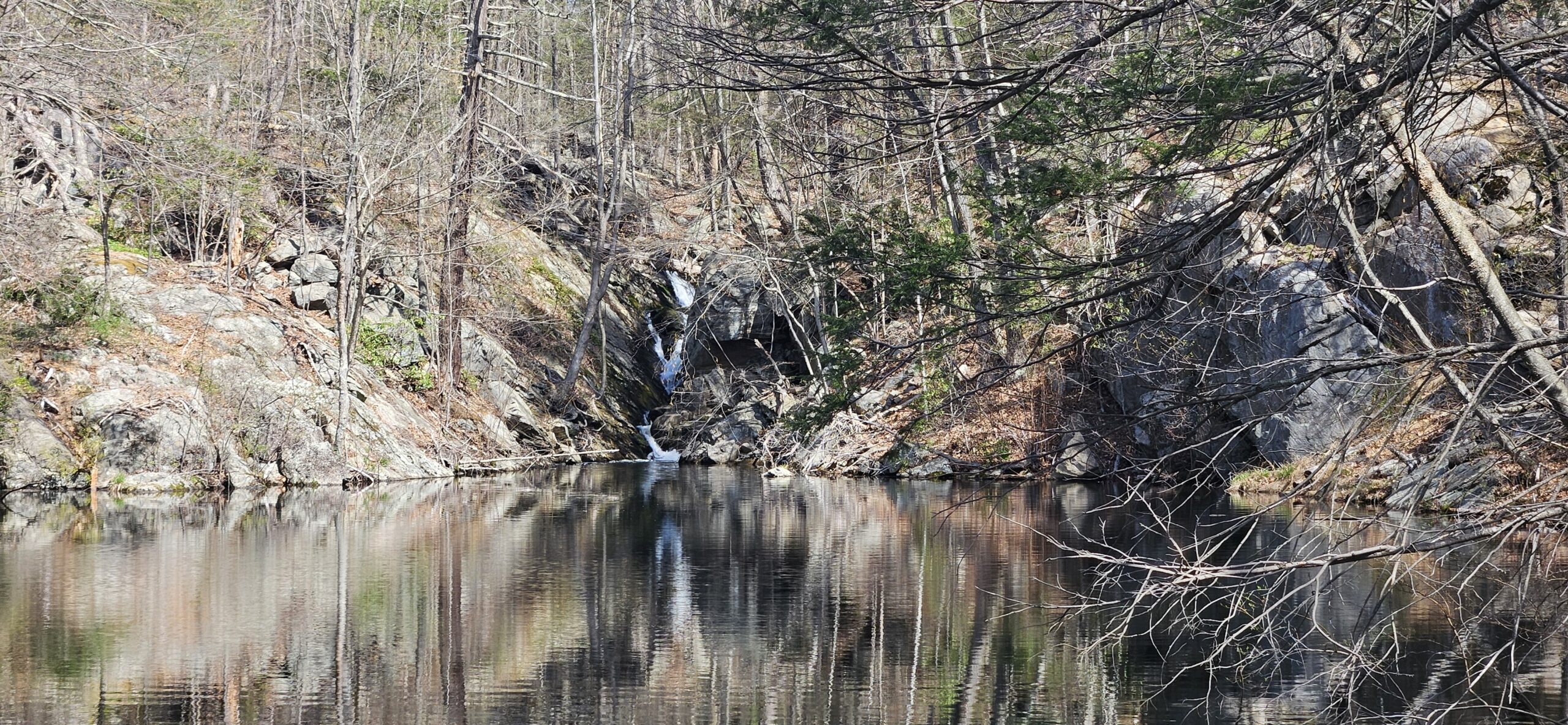
From Lower Laurel Falls you will see the second waterfall just upstream. Take the user-made trail upstream to reach it. Middle Laurel Falls is about the same height as Lower Laurel Falls, but features two tiers instead of one longer tier as with the lower falls. I personally consider this waterfall the most interesting of the three because of the small pool separating the drops. The scenery of these falls is also the most dramatic with the steep cliffs on either side.

Upper Laurel Falls
Height: 8 feet
Waterfall Coordinates: 41.011271 -75.081516
Distance: 0.25 miles round trip
Ease of Access: Easy-Moderate
Rating:
Verdict: Underwhelming compared to the Lower and Middle Laurel Falls.
This waterfall is located off of official trails
Most people turn around after reaching Middle Laurel Falls. In fact, there is a third cascade a little further upstream. This is by far the least exciting of the three, as it is mostly obscured by the trees and is much thinner. Where the other two waterfalls fell as a singular or double drop, the upper falls is mostly a gentle cascade. The New Jersey Geological and Water Survey officially classifies this waterfall as only 8 feet tall. I argue that it is much taller. They likely only consider part of it as steep enough to be a “true waterfall.” Most of the cascade may be too shallowly pitched to be considered a waterfall.
To get to Upper Laurel Falls, take the same user-made trail from Middle Laurel Falls. This trail will leave the stream as it heads uphill, but remain on it. Note that the trail is less visible here than it was at near the lower waterfalls. Soon you will reach the stream again where you will see the waterfall. From the upper falls, the trail essentially fades away. The best way to return is to hike back down the same way you came.
You may be tempted to hike upstream from Middle Laurel Falls itself instead of following the trail. You can do this, but it is more difficult to climb up Middle Laurel Falls than to take the trail.
GPS Route
Attached is the route as described above for reference. Additionally users can download the route to use on their preferred GPS.
Additional Information
- Old Mine Road is closed past Worthington State Forest in the winter. The waterfalls are still accessible, but you must access them from Route 80.
- You can also reach Sunfish Pond from Laurel Falls. The best way to do so is to take the Orange Garvey Springs Trail. This is a steep hike and is significantly more difficult than the waterfall hike.
- Waterfall heights are from the New Jersey Geological and Water Survey. Heights of waterfalls not listed by them are estimated and noted with an asterisk “*”
Leave a Reply