South Mountain Reservation, is a large county park spanning multiple municipalities in Essex County. South Mountain Reservation is located on top of the First Watchung Mountain. It features many easy trails and a handful of waterfalls like Hobble Falls and Hemlock Falls. South Mountain Reservation is perfect for those living in Essex or Union County, or for those who want to visit a few good waterfalls.
South Mountain Reservation
Other Attractions: Maple Falls, South Mountain Recreation Complex, Turtle Back Zoo, Fairy Trail
Hobble Falls
Height: 22.5 feet
Waterfall Coordinates: 40.751250 -74.288679
Distance: Shorter: 0.5 mile round trip; Longer: 1 mile round trip
Ease of Access: Easy
Rating:
Explore North Jersey Review: Decent waterfall, but is overshadowed by Hemlock Falls next door
For the easiest access to the two waterfalls, you will want to start at the parking area off South Orange Avenue or the one on Cherry Lane. Getting to the waterfalls from the South Orange Avenue parking area is slightly shorter. However, this lot is smaller and off a major road. For this reason, it tends to fill up faster than the larger Cherry Lane parking area. On a nice weekend, it is often wiser to go straight to the Cherry Lane parking area than try to find a parking spot off South Orange Avenue.
Longer: From Cherry Lane, find the co-blazed Yellow Lenape Trail and Orange Turtle Back Rock trail across the street from the parking area. After a couple hundred feet, the Yellow Lenape Trail makes a left, as the Orange Turtle Back Rock trail continue straight ahead. Make the turn to stay on the Yellow Lenape Trail where you will take a pedestrian bridge over South Orange Avenue. Continue on the Yellow Trail, and very soon you will meet an unmarked trail linking to the South Orange Avenue parking lot on the left. Shorter: For those parking at the South Orange Avenue parking lot, there is an unmarked trail at the back of the parking lot meeting the Yellow Lenape Trail.
No matter what parking area you started in, you are now in the same spot. Continue hiking for a short distance before reaching a four way intersection with an unmarked trail and the White Rahway Trail. The Yellow Lenape Trail makes a left at this intersection. Stay on the Yellow Lenape Trail and take it for a few hundred feet until you reach Hobble Falls.
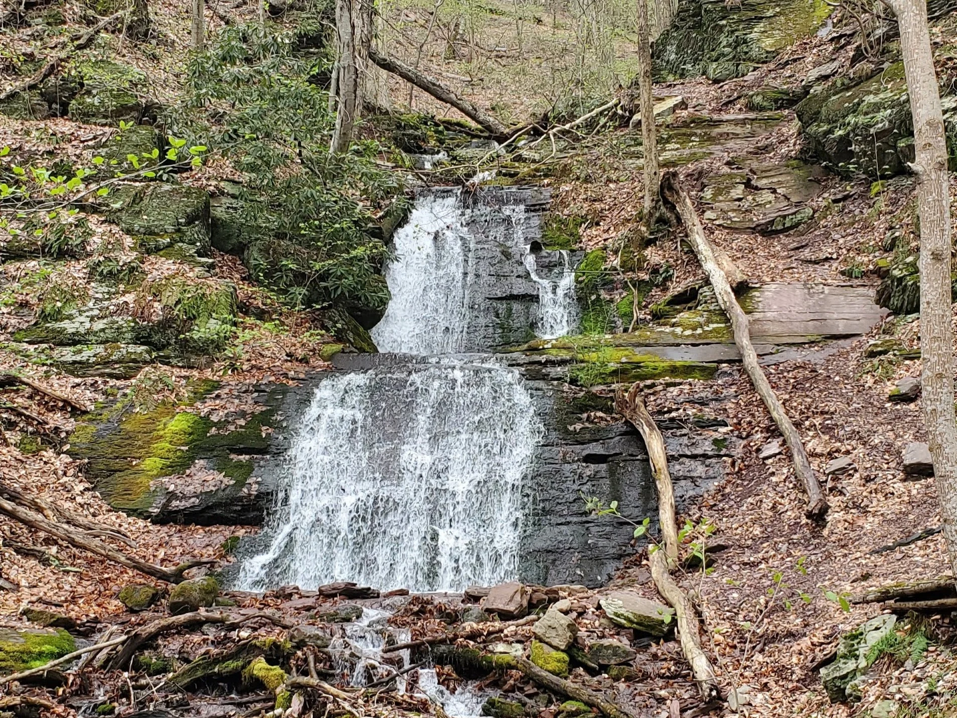
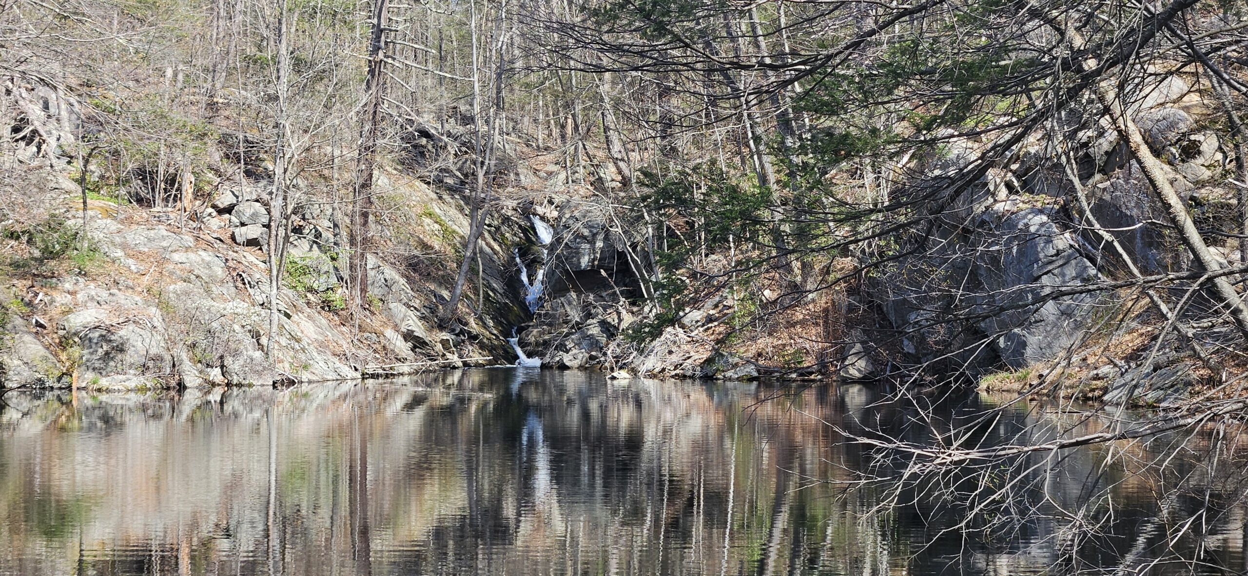
Hobble Falls is a smaller waterfall that is tucked away off trail. In fact, it is possible you miss Hobble Falls completely as Hemlock Falls is so close and takes the spotlight. Despite being off trail, Hobble Falls is very easy to see from the trail itself, as long as you are okay with some trees blocking the view. For those wanting a better view, a short unmarked trail takes you closer. The waterfall is made up of three tiers, but it is difficult to see the top tier from the main trail. Unfortunately, Hobble Falls does not have a large drainage area, and in times of limited rainfall, the waterfall can dry up completely.

Hemlock Falls
Height: 25.7 feet
Waterfall Coordinates: 40.750428 -74.288387
Distance: Shorter: 0.5 mile round trip; Longer: 1 mile round trip
Ease of Access: Easy
Rating:
Explore North Jersey Review: Good waterfall in unique setting, but rarely has enough water to be great
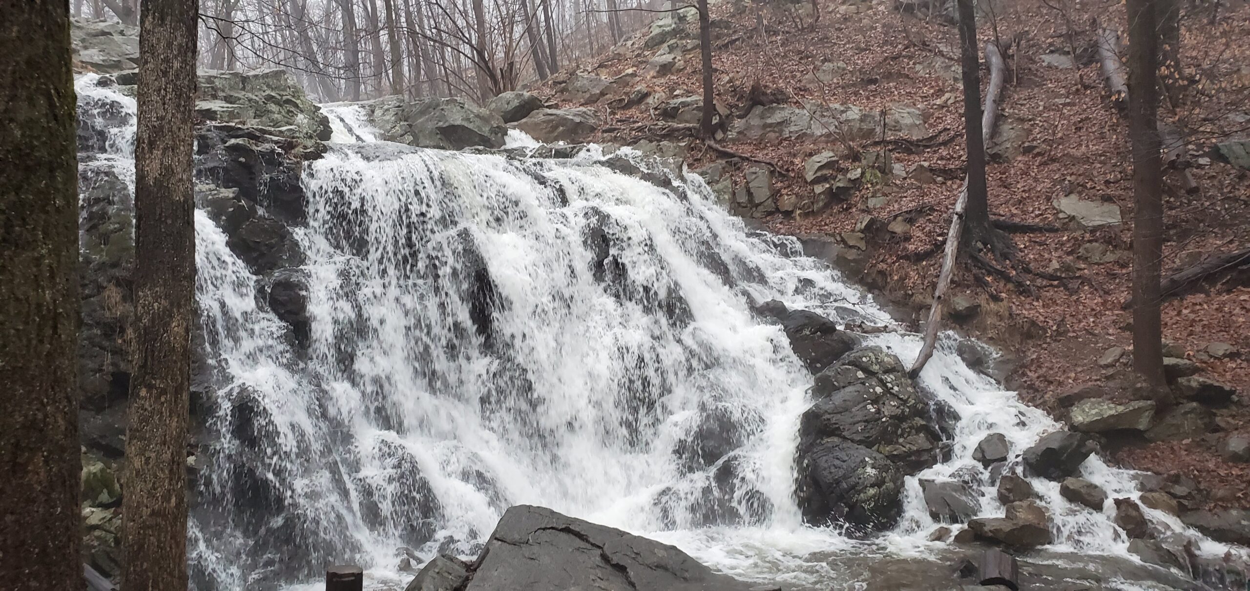
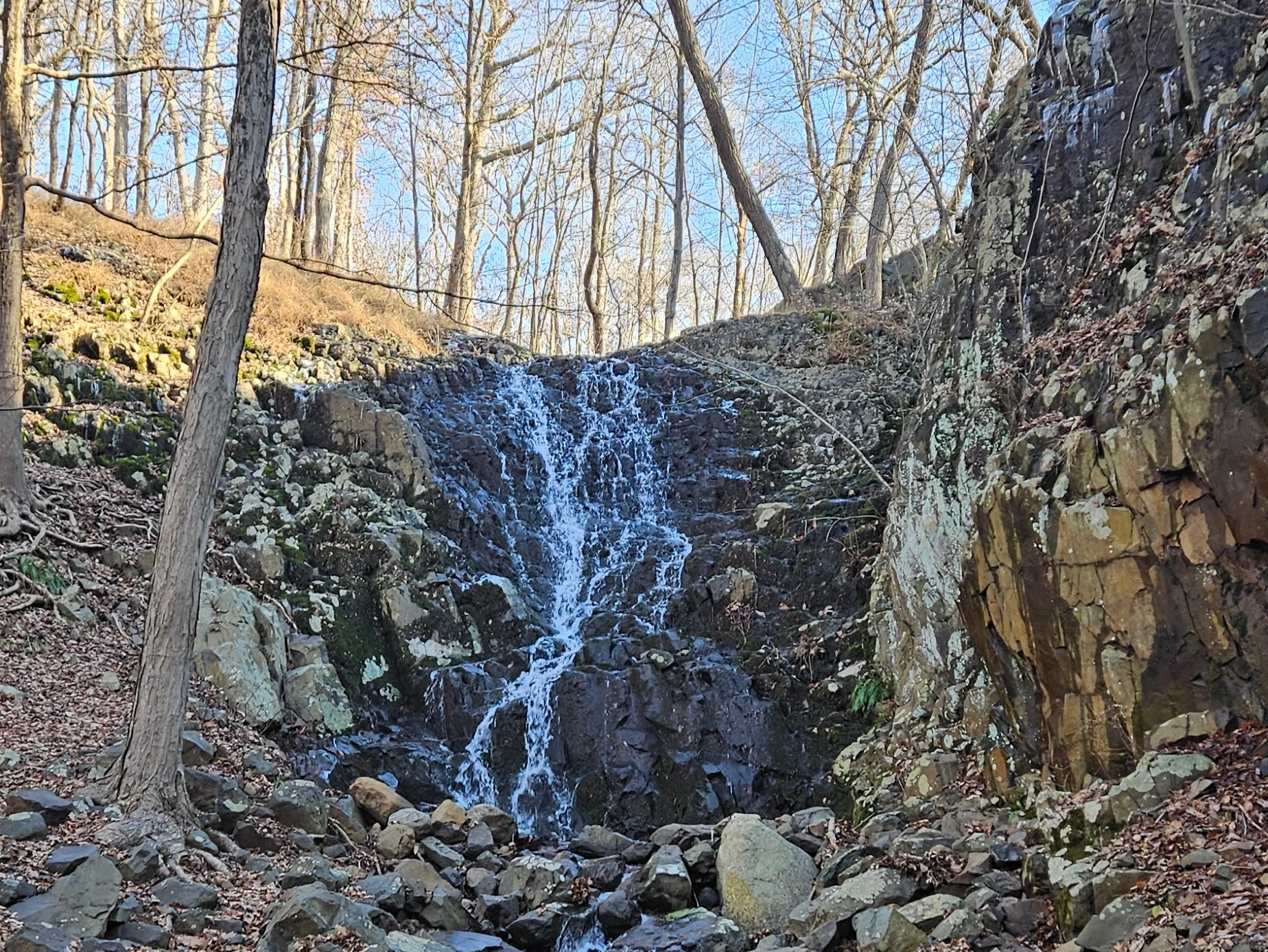
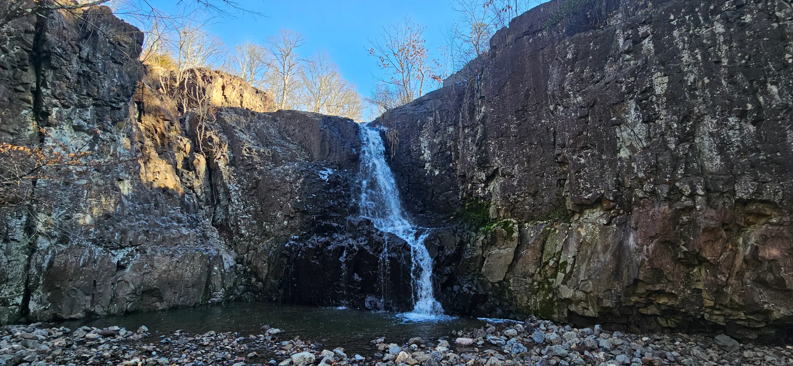
Almost directly next to Hobble Falls, is Hemlock Falls. Hemlock Falls is impossible to miss as the waterfall creates a natural amphitheater as it falls down the basalt bedrock. Getting close to this waterfall is very easy. The water forms a small pool then flows off to the side allowing visitors to get mere feet away without getting wet. As with Hobble Falls, Hemlock Falls has a small drainage area and can dry up during times of low rainfall.

Unnamed Cascades
Height: 5-10 feet each*
Waterfall Coordinates: 40.750222, -74.287991
Distance: Shorter: 0.5 mile round trip; Longer: 1 mile round trip
Ease of Access: Easy
Rating:
Explore North Jersey Review: Fun set of small lesser-known cascades above Hemlock Falls.
To the left of Hemlock Falls, you will see a set of steps built into the bedrock. If you take these steps you will reach the top of the waterfall. Unfortunately, there is no view of the waterfall itself here, and the trail goes higher above the waterline than you might expect. If you continue straight ahead, you will reach a handful of smaller cascades. While these are significantly smaller than either Hemlock Falls or Hobble Falls, they are worthwhile stops.


From here I recommend returning to your car the way you came unless you are using a GPS map. This is because there are many marked and unmarked trails past this point and it is very easy to get lost.
GPS Route
Attached is the route as described above for reference. Additionally users can download the route to use on their preferred GPS.
Additional Information
- Every waterfall at South Mountain Reservation is best experienced after a lot of rain. Because these waterfalls are located at the top of a rocky mountain, water washes away quickly
- Alternate parking, requiring a different and slightly longer route can be found along Bear Lane. It is best to use a GPS map from here due to the many marked and unmarked trails
- The trail map on the park website is basically useless. The South Mountain Conservancy offers a paid digital map that appears to be better but I have not used it. I use my phone GPS here.
- Waterfall heights are from the New Jersey Geological and Water Survey. Heights of waterfalls not listed by them are estimated and noted with an asterisk “*”
Leave a Reply