Maple Falls is a hidden waterfall at South Mountain Reservation. South Mountain Reservation, is a large county park spanning multiple municipalities in Essex County. The park features many easy trails, a handful of waterfalls, including the well-known Hemlock Falls. Much less known, however, is the hidden gem in Maple Falls. Reaching Maple Falls requires a short off-trail hike. It is perfect for those wanting a little solitude, even when other areas of the park are packed.
South Mountain Reservation
Other Attractions: Hemlock Falls, Hobble Falls, South Mountain Recreation Complex, Turtle Back Zoo
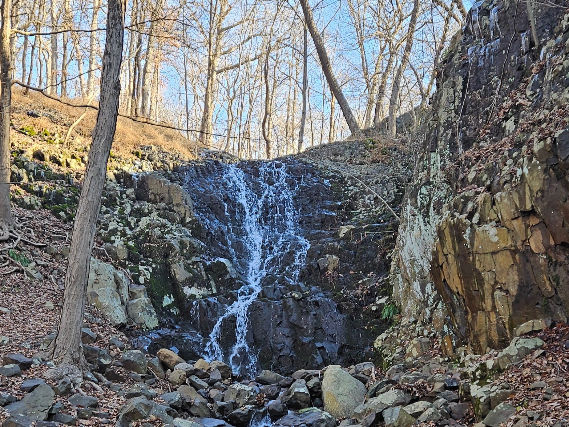
Maple Falls
Height: 29.5 feet
Waterfall Coordinates: 40.73432, -74.30421
Distance: 2 miles round trip
Ease of Access: Easy-Moderate
Rating:
Verdict: Good off-trail waterfall that is almost impossible to see clearly from the official trail, but struggles from lack of sufficient water
This waterfall is located off trail
From the parking area off Glen Avenue, find the White Rahway Trail. This section of the White Rahway Trail is also known as the Fairy Trail. You will see a large sign denoting this at the trailhead. Along this easy trail you will see many small fairy houses hidden along the path. After about a half mile you will reach an intersection. Here the White Rahway Trail continues straight across a small bridge. Do not cross this bridge, instead turn right onto an obvious woods road. You will very quickly reach Maple Brook from the woods road. At Maple Brook, make a right and begin hiking up the stream. This section is completely off trail, and not many people know the waterfall exists. As such, it is a little difficult in places as you will need to make your own path. Continue to follow Maple Brook and after a couple hundred feet you will reach Maple Falls.

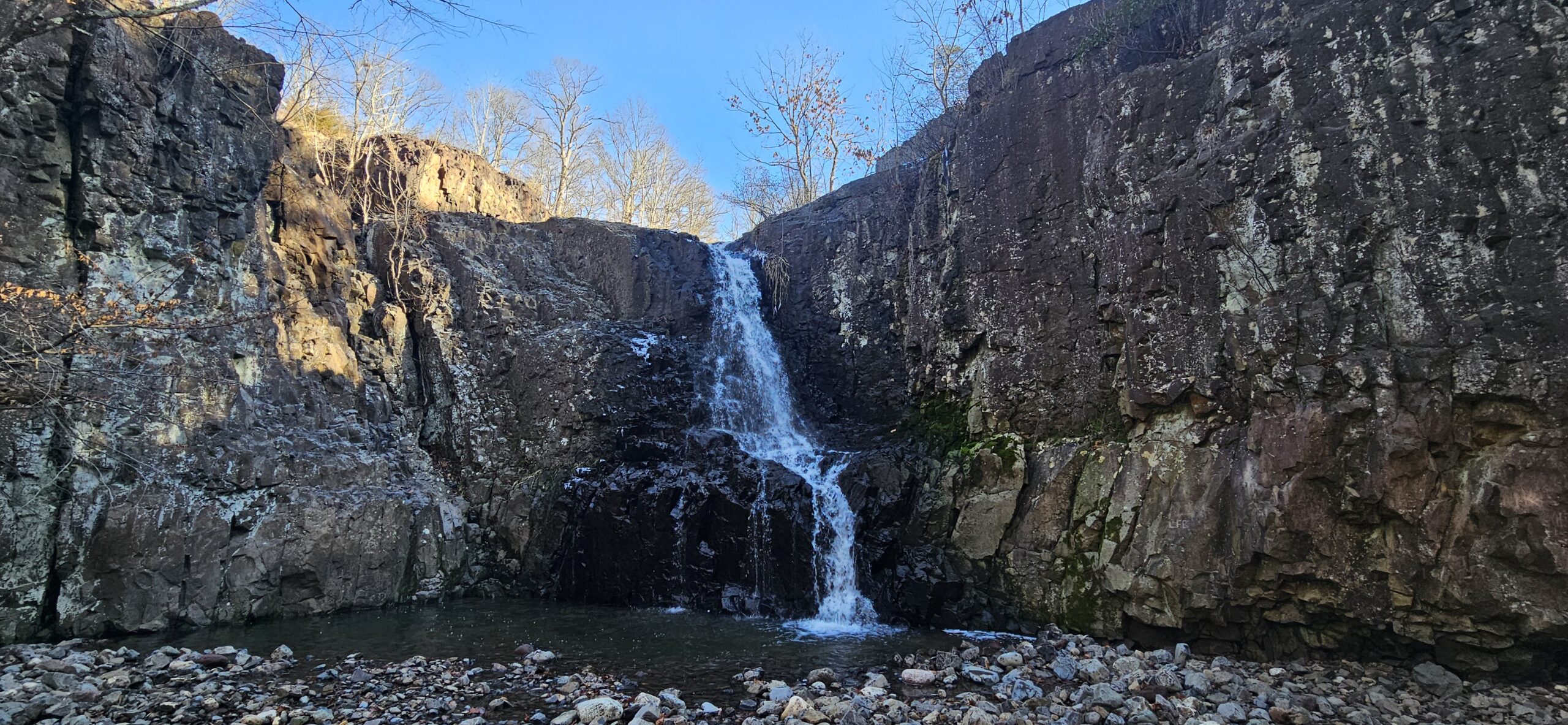
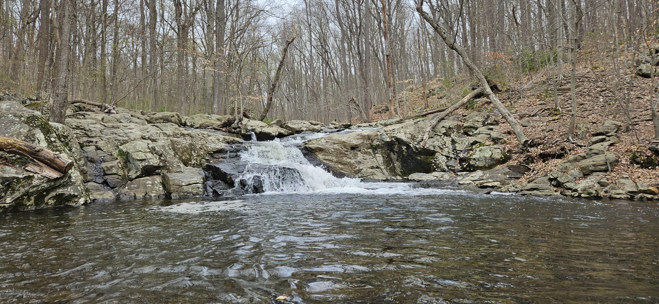
Maple Falls is a steep cascade falling nearly 30 feet, and is surrounded by steep cliffs on either side. Despite being the tallest waterfall at South Mountain Reservation, you will almost certainly be alone here. Not many people know it exists, even though it is labeled on the (admittedly terrible) map. Unfortunately, along with all the other waterfalls at South Mountain Reservation, Maple Falls struggles from a small drainage area. I only recommend visiting Maple Falls soon after a lot of rain, or else you risk seeing the waterfall dry.
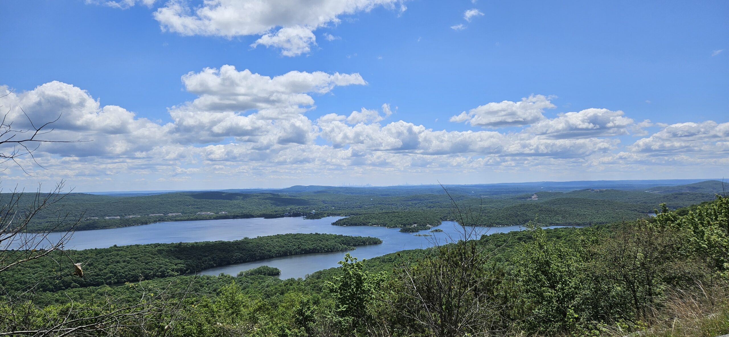
Return to the main trail from here. You can either go back the way you came, or you can extend your hike to view Maple Falls from the top. The view from the top is not exciting, and only worth it for those wanting a longer hike. To reach the top, return to the White Rahway Trail. Make a left onto the trail, then almost immediately after, make another left onto an obvious woods road. Climb up this woods road and after about a quarter mile you will reach the Yellow Lenape Trail. Turn left, and in another quarter mile you will reach the top of Maple Falls. You cannot see much from here other than the water disappearing below. From the waterfall, return on the Yellow Lenape Trail to the woods road. Turn right onto the woods road, and in a few hundred feet you will see a set of steps to your left. Take these steps down which will take you back to the parking area.
GPS Route
Attached is the route as described above for reference. Additionally users can download the route to use on their preferred GPS.
Additional Information
- On the trail map, it appears the Maple Falls is easiest to reach from the Yellow Lenape Trail. The best view is actually by hiking off trail as described above. The reach the bottom from the Yellow Lenape Trail is extremely difficult
- The trail map on the park website is basically useless. The South Mountain Conservancy offers a paid digital map that appears to be better but I have not used it. I use my phone GPS here.
- Waterfall heights are from the New Jersey Geological and Water Survey. Heights of waterfalls not listed by them are estimated and noted with an asterisk “*”
Leave a Reply