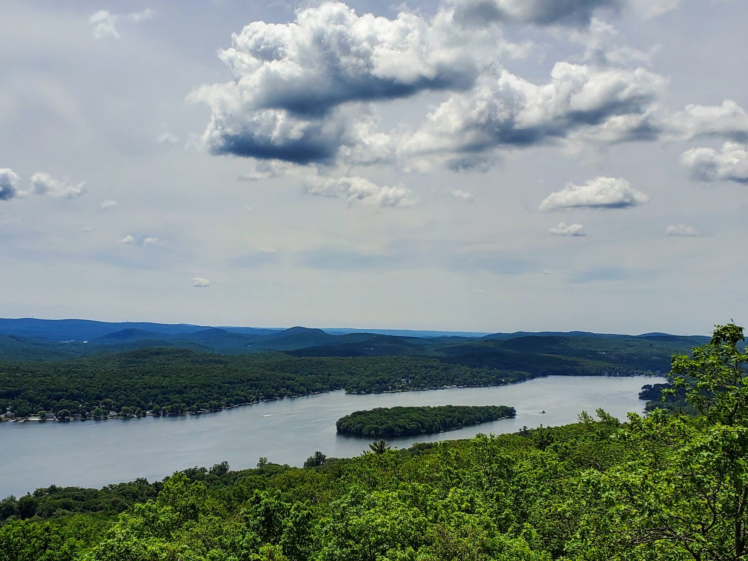
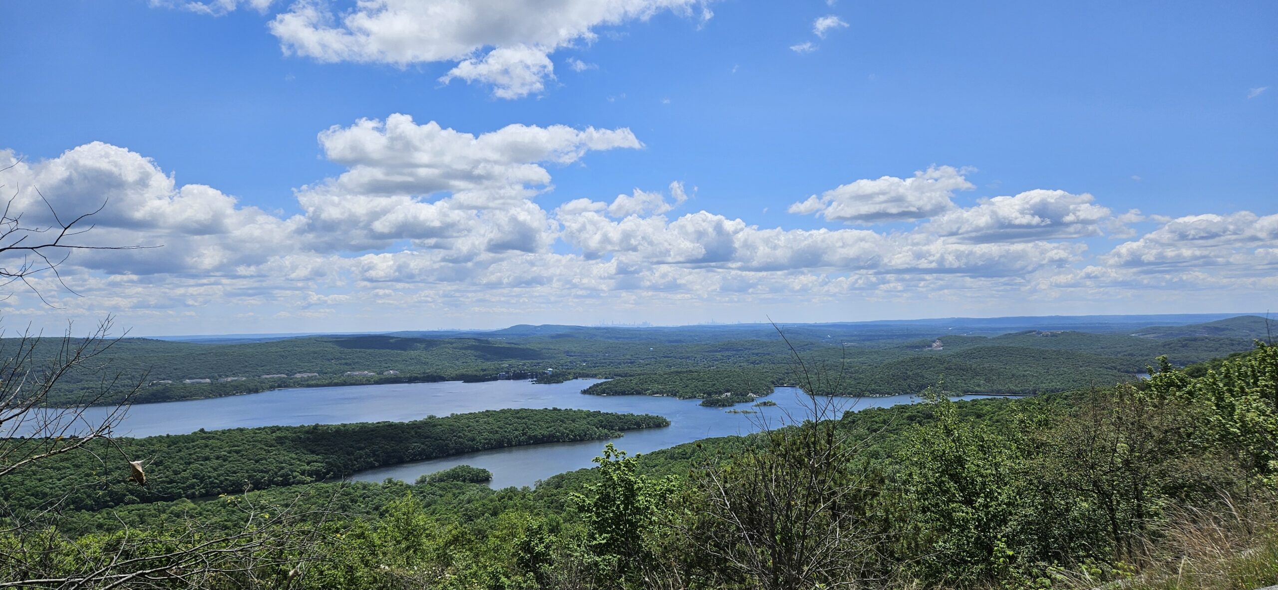
Abram S. Hewitt is a large and rugged state forest located in West Milford. One of the highlights of the park is the Bearfort Ridge loop on the northern end of the park. This hike includes a small waterfall at the start, plus numerous overlooks of Greenwood Lake from the summit of Bearfort Ridge. This is a great hike for those looking for a challenge, as the park is very rocky, and the initial climb up the ridge is steep. The effort is worth it though, for the incredible views from the top.
Abram S. Hewitt State Forest
Other Attractions: Terrace Pond
The main pull-off parking is small. There are a few other pull-offs on Warwick Turnpike that you can use if the main lot is full. Alternatively, you can park in a parking lot at Highlands Preserve at 22 Warwick Turnpike, Hewitt, NJ 07421, and enter from the Green and Black Trail. Each alternate parking area requires a short road walk along the busy Warwick Turnpike.
Hike Information
Distance: 6.5 miles
Ascent: 1,250 feet
Difficulty: Difficult
Explore North Jersey Review: Challenging hike with excellent views of Greenwood Lake
Note: The hike is only a few hundred feet total for those just wishing to see the waterfall
Unnamed Waterfall on Green Brook
Height: ~6 feet*
Waterfall Coordinates: 41.157793, -74.367262
Rating:
Explore North Jersey Review: Decent, easy-to-reach waterfall, but visit for the Bearfort Ridge Loop
Begin on the pull-off on Warwick Turnpike. Walk down to the bottom of the pull-off, where you will see the Blue and Green trailhead on the other side of a guardrail. Climb over the guardrail and take the trail about a hundred feet to a bridge over Green Brook. If you look upstream, you will see an unnamed waterfall a short distance ahead.

This waterfall is relatively small, but it’s a nice surprise, as it’s not publicized anywhere. The waterfall is located in a small scenic ravine and is a nice stop at both the beginning and end of the hike.
Bearfort Ridge
Continue on the Blue and Green Trail until it ends at the Green Trail. At this point, you will want to turn left. When you return, you will be coming from the right. By starting left, you begin with a short but very steep ascent, versus a more gradual but extended climb by turning right. The steep section is much easier hiking uphill than downhill, which is why we are taking the steeper route uphill.
You will immediately begin the very steep climb up to the top of Bearfort Ridge. Over the next half-mile, you will climb about 400 feet. Fortunately, once you reach the top, the remainder of the trail is much flatter, only featuring infrequent, smaller, and more gradual inclines. Near the top of this climb, there is a small overlook where you can see New York City in the far distance. This is a perfect spot to stop and catch your breath.

For the next mile and a half, you will gradually work your way across the top of the ridge. Unfortunately, there are limited views along this section of the trail, but the hike itself is pleasant.

Surprise Lake
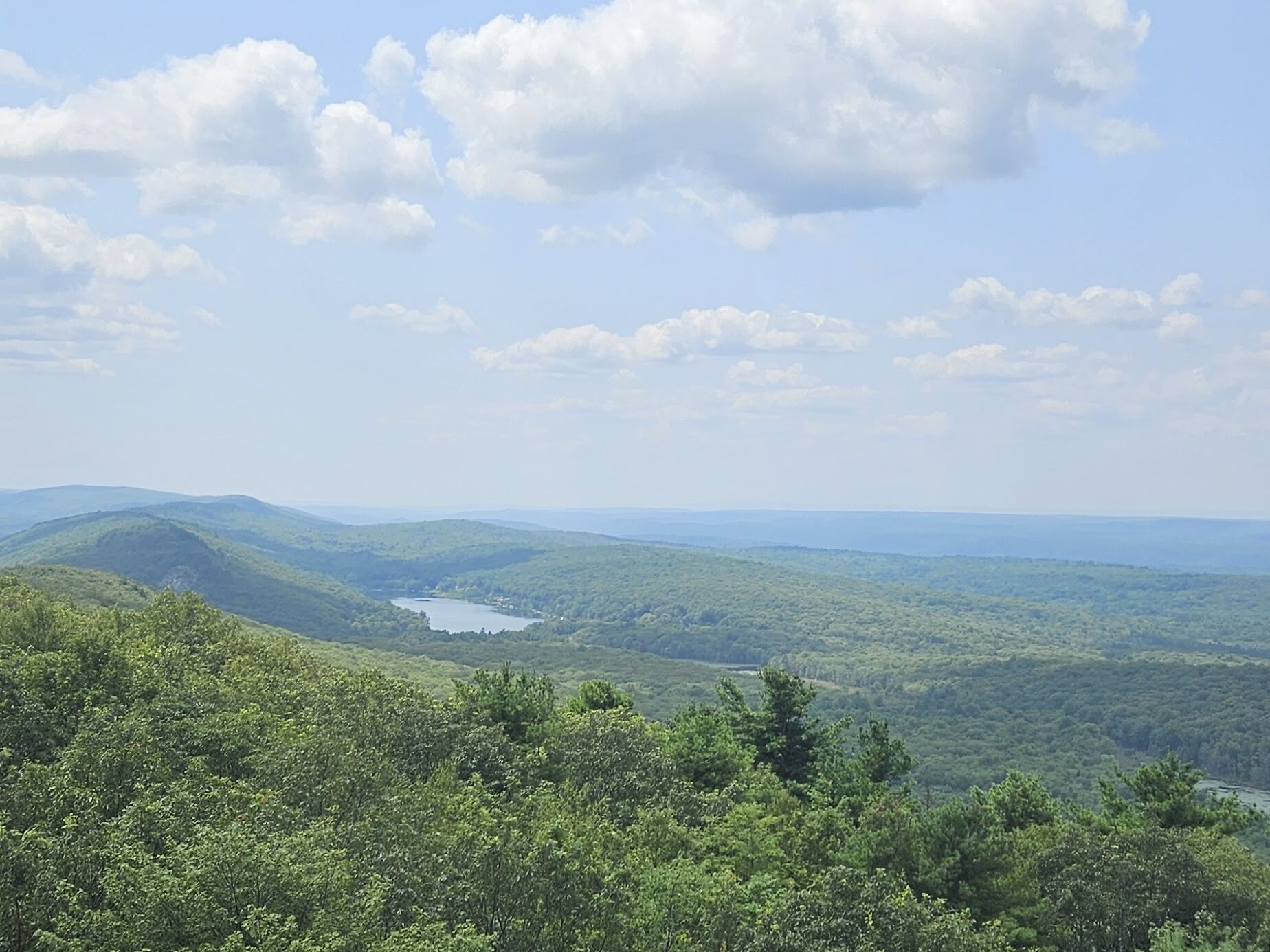
Eventually, the Green Trail will meet the Yellow Trail, and the two trails become co-blazed for a short distance. Continue on the trail until you reach a small clearing and a view of Surprise Lake. Surprise Lake is decent, but tends to be a hangout spot for local kids. If you continue a short distance further, you will be greeted with a much better view of the much larger Greenwood Lake.
Greenwood Lake Overlook
From Surprise Lake, the Green Trail turns around and returns to the parking area to complete the loop. I recommend continuing on the Yellow Trail briefly, though, for an excellent overlook of Greenwood Lake. From Surprise Lake, take the Yellow Trail for about a quarter mile, and you will be greeted with multiple views of Greenwood Lake as the trail travels along the exposed bedrock on the edge of Bearfort Ridge. These views are all similar, so if you want to shorten your hike, you can stop at the first one you reach. I do recommend visiting them all, though, because it is not that much more effort to visit them.

The Return Hike
From the overlook, return to Surprise Lake, where you will reach the Green Trail again. At Surprise Lake, the Green Trail leaves the Yellow Trail by making a left. Take this left and begin an approximately 2-mile gentle descent. After those two miles, the Green Trail will make a sharp right turn as the Green and Black Trail goes straight. The Green and Black Trail is a connector to an alternate parking area. Take the Green Trail until you reach the Green and Blue Trail from the beginning, and take that trail back to your car.
GPS Route
Attached is the route as described above for reference. Additionally users can download the route to use on their preferred GPS. How to use the GPS routes on your phone.
Leave a Reply